|
The village of L'Échelle is a small village located north east of France. The town of L'Échelle is located in the department of Ardennes of the french region Champagne-Ardenne. The town of L'Échelle is located in the township of Rumigny part of the district of Charleville-Mézières. The area code for L'Échelle is 08149 (also known as code INSEE), and the L'Échelle zip code is 08150.
Geography and map of L'Échelle :
The altitude of the city hall of L'Échelle is approximately 250 meters. The L'Échelle surface is 9.96 km ². The latitude and longitude of L'Échelle are 49.802 degrees North and 4.472 degrees East.
Nearby cities and towns of L'Échelle are :
Rouvroy-sur-Audry (08150) at 2.10 km, Blombay (08260) at 2.86 km, Cernion (08260) at 2.99 km, Vaux-Villaine (08150) at 3.33 km, Laval-Morency (08150) at 3.69 km, Aubigny-les-Pothées (08150) at 3.81 km, Chilly (08260) at 4.19 km, Marby (08260) at 4.38 km.
(The distances to these nearby towns of L'Échelle are calculated as the crow flies)
Population and housing of L'Échelle :
The population of L'Échelle was 148 in 1999, 137 in 2006 and 136 in 2007. The population density of L'Échelle is 13.65 inhabitants per km². The number of housing of L'Échelle was 75 in 2007. These homes of L'Échelle consist of 56 main residences, 6 second or occasional homes and 13 vacant homes. |
|
|
Hotel L'Échelle
|
|
|
Book now ! Best Price Guaranteed, no booking fees, pay at the hotel with our partner Booking.com, leader in online hotel reservation.
Find all hotels of L'Échelle : Hotel L'Échelle
| |
|
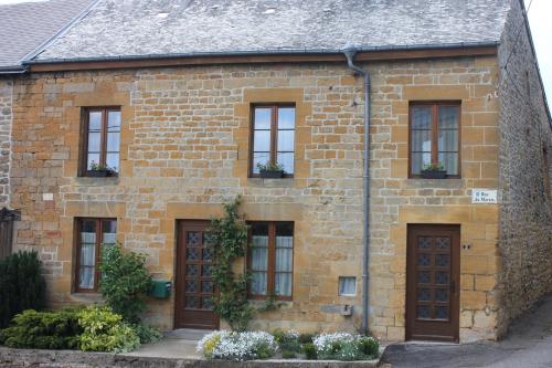
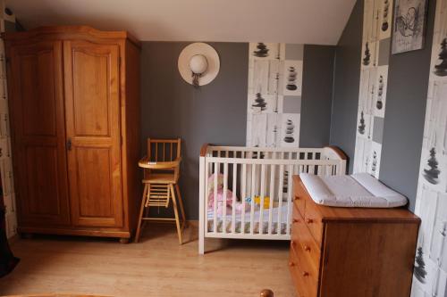
Guest accommodation : gite de la ruelle des messes
Boasting free bikes, barbecue facilities, and a garden, gite de la ruelle des messes features accommodation in LʼÉchelle with free WiFi and garden views. The holiday home featur...
Address : 2 rue du marais 08150 LʼÉchelle
Distance Guest accommodation - L'Échelle : 0.32 km
|
|
|
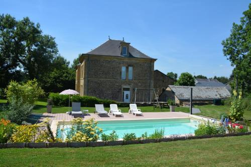
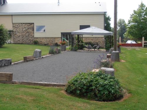
Guest accommodation : Le Château
Situated in Étalle, Le Château provides accommodation with a private pool and private parking. Featuring pool and garden views, this holiday home also has free WiFi. With 3 bed...
Contact : 1 Rue des Marais 08260 Étalle
Distance Guest accommodation - L'Échelle : 5.28 km
|
|
|
Bed and Breakfast : Chambres d'hôtes L'Hirondelle
Set in the small village of Girondelle, in the Thiérache Ardennaise valley, this guest house was built in a typical Ardennes-region-style. It has a garden with an outdoor terrac...
Prices : from 39.00 €
to 120.00 €
Contact : 6, grand'rue 08260 Girondelle
Distance Bed and Breakfast - L'Échelle : 7.52 km
|
|
|
Guest accommodation : Chateau De Clavy Warby
Chateau De Clavy Warby is situated in Clavy-Warby and offers barbecue facilities. Guests are welcome to enjoy the free WiFi. This holiday home comes with a kitchen, a seating a...
Contact : 08460 Clavy-Warby
Distance Guest accommodation - L'Échelle : 7.99 km
|
|
|
Guest accommodation : gîte du garde barrière

Gîte du garde barrière is located in Girondelle and offers barbecue facilities, a garden and a terrace. This property offers access to free WiFi. The holiday home comes with 4 ...
Price : from 58.00 €
Address : 4 wagny 08260 Girondelle
Distance Guest accommodation - L'Échelle : 8.38 km
|
|
|
Guest accommodation : Gite Des Peupliers

Situated in Girondelle, Gite Des Peupliers provides accommodation with a terrace and free WiFi. The property was built in 19th century and features accommodation with a patio. ...
Prices : from 63.00 €
Contact : 5 WAGNY 08260 Girondelle
Distance Guest accommodation - L'Échelle : 8.39 km
|
|
|
Bed and Breakfast : El Rancho Criollo
El Rancho Criollo is set in Maubert-Fontaine and offers a garden. This bed and breakfast provides free WiFi, a terrace, as well as a bar. If you would like to discover the area...
Rate : from 55.00 €
to 60.00 €
Contact : 47 Rue de l'Oiseau 08260 Maubert-Fontaine
Distance Bed and Breakfast - L'Échelle : 9.47 km
|
|
|
Apartment : Appartement Liartais - Accueil Chevaux - Horse Friendly
Located in Liart, Appartement Liartais - Accueil Chevaux - Horse Friendly offers self-catering accommodation with free WiFi, a 5-minute walk from Liare Educational Farm.The prop...
Contact : 2 Rue De la Gare 08290 Liart
Distance Apartment - L'Échelle : 10.19 km
|
|
|
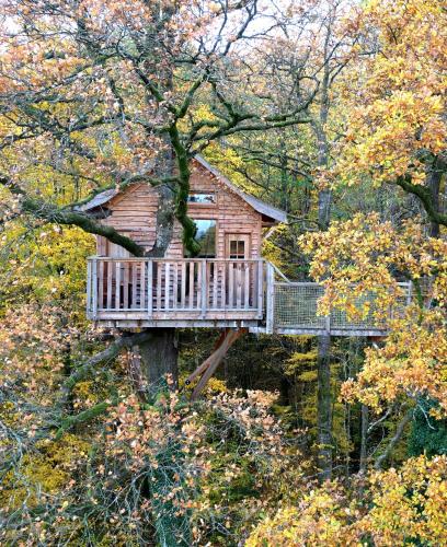
Bed and Breakfast : Le Chêne Perché
Le Chêne Perché offers atypical accommodation in tree houses located in Signy-l’Abbaye, 49 km from Bouillon. Each furnished cabin is lit by candles and lamps and has a space he...
Address : La Vénerie 08460 Signy-lʼAbbaye
Distance Bed and Breakfast - L'Échelle : 11.94 km
|
|
|
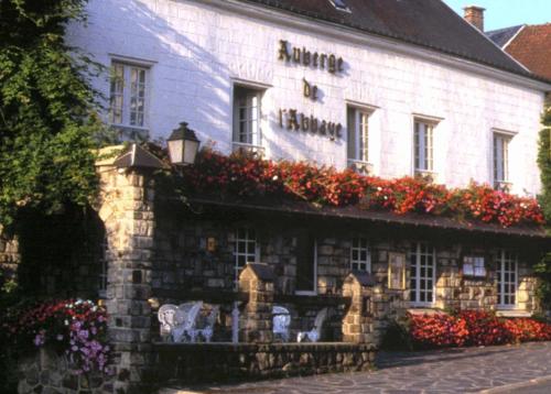
Hotel : Auberge De L'abbaye
Auberge de L'Abbaye is situated in the valley in the Ardennes Region. This former monastic site offers individually decorated rooms are en suite with free Wi-Fi internet access....
Rate : from 67.00 €
to 88.00 €
Contact : 2 Place Aristide Briand 08460 Signy-lʼAbbaye
Distance Hotel - L'Échelle : 12.16 km
|
|
Find another hotel near L'Échelle : L'Échelle hotels list
|
Map of L'Échelle
|
|
Map of L'Échelle :
At right you can find the localization of L'Échelle on the map of France. Below, this is the satellite map of L'Échelle. A road map, and maps templates of L'Échelle are available here : "road map of L'Échelle". This map show L'Échelle seen by the satellite of Google Map. To see the streets of L'Échelle or move on another zone, use the buttons "zoom" and "map" on top of this dynamic map.
Search on the map of L'Échelle :
To search hotels, housings, tourist information office, administrations or other services, use the Google search integrated to the map on the following page : "map L'Échelle".
Hotels of L'Échelle are listed on the map with the following icons: 
The map of L'Échelle is centred in the following coordinates :
|

|
|
|
|
Print the map of L'Échelle

Print the map of L'Échelle : map of L'Échelle
|
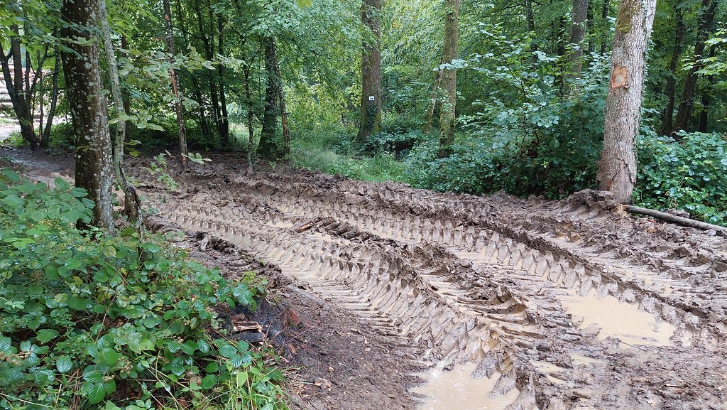
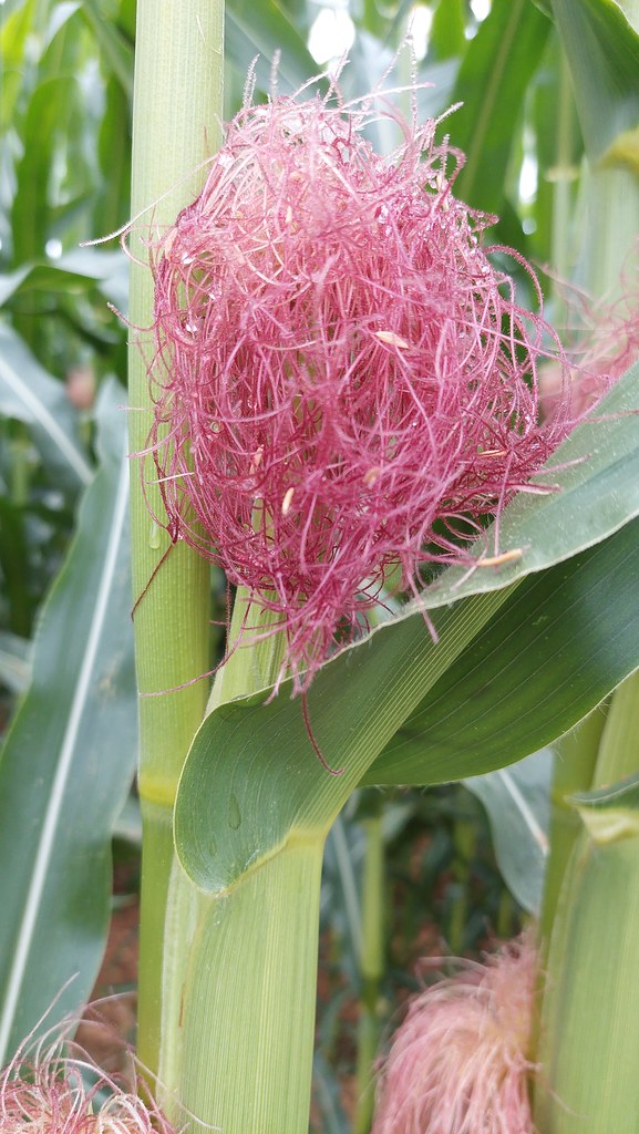
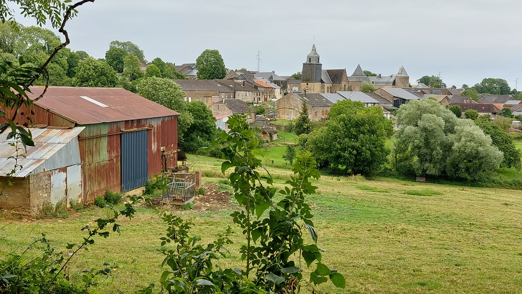
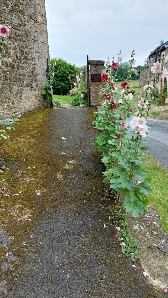
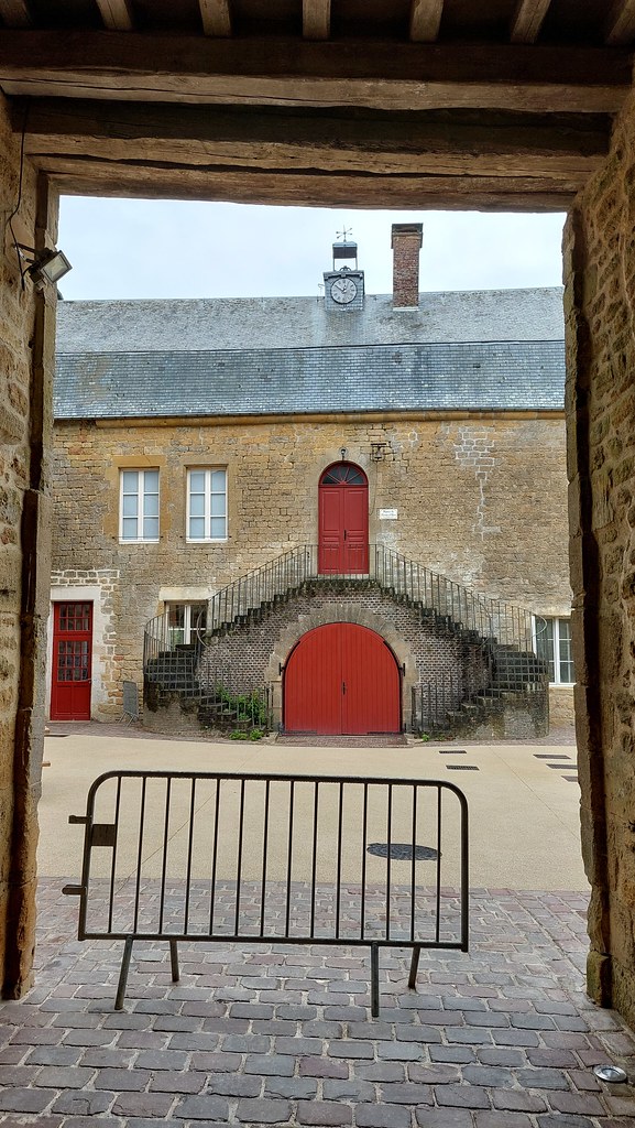
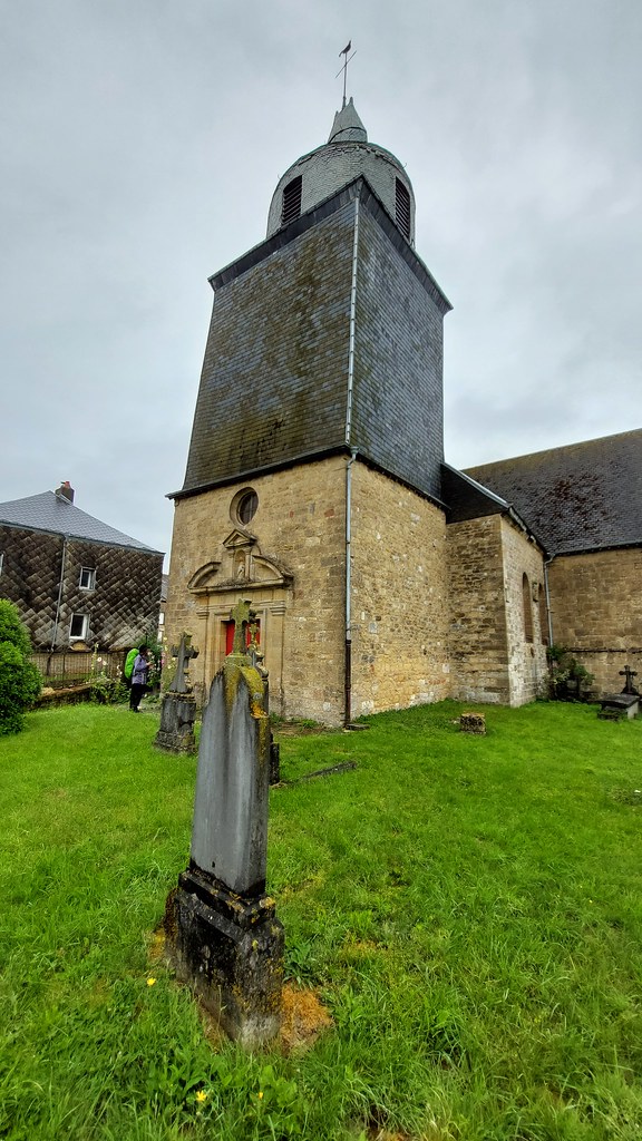
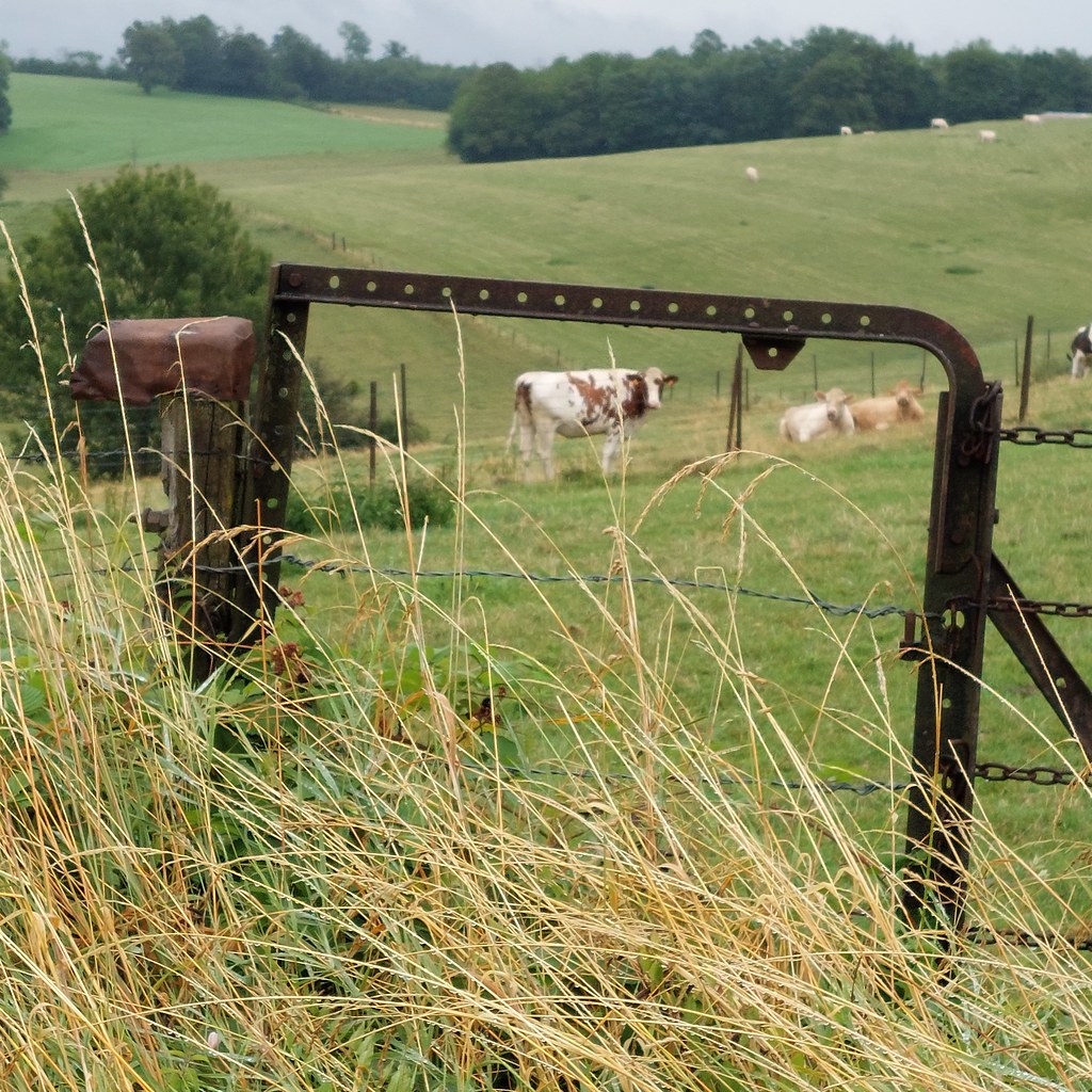
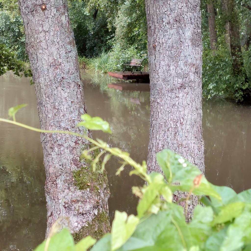
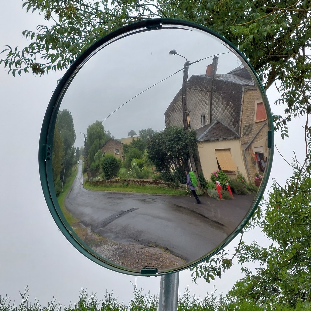
Photos L'Échelle
|
See all photos of L'Échelle :
Other photos of L'Échelle and nearby towns can be found here: photos L'Échelle
|
|
L'Échelle weather forecast
Find next hours and 7 days weather forecast for L'Échelle here : weather L'Échelle (with english metrics)
This is the last weather forecast for L'Échelle collected by the nearest observation station of Rumigny.
Week Forecast:
The latest weather data for L'Échelle were collected Saturday, 01 August 2026 at 08:01 from the nearest observation station of Rumigny.
| Saturday, August 1st |
26°C 15°C
0%
48%
|
Partly cloudy
Temperature Max: 26°C Temperature Min: 15°C
Precipitation Probability: 0%
Percentage of sky occluded by clouds: 48%
Wind speed: 8 km/h South
Humidity: 53%° UV Index: 6
Sunrise: 06:12 Sunset: 21:24 |
|
| | Sunday, August 2nd |
29°C 14°C
0%
22%
|
Mostly clear
Temperature Max: 29°C Temperature Min: 14°C
Precipitation Probability: 0%
Percentage of sky occluded by clouds: 22%
Wind speed: 7 km/h West
Humidity: 46%° UV Index: 7
Sunrise: 06:14 Sunset: 21:23 |
|
| | Monday, August 3rd |
33°C 18°C
25%
60%
|
Partly cloudy
Temperature Max: 33°C Temperature Min: 18°C
Precipitation Probability: 25% (Rain)
Percentage of sky occluded by clouds: 60%
Wind speed: 9 km/h North
Humidity: 47%° UV Index: 6
Sunrise: 06:15 Sunset: 21:21 |
|
| | Tuesday, August 4th |
29°C 20°C
53%
61%
|
Drizzle
Temperature Max: 29°C Temperature Min: 20°C
Precipitation Probability: 53% (Rain)
Percentage of sky occluded by clouds: 61%
Wind speed: 13 km/h North-East
Humidity: 63%° UV Index: 5
Sunrise: 06:17 Sunset: 21:20 |
|
|
Attribution: 
|
|
Other maps, hotels and towns in france
Find another town, zip code, department, region, ...
Quick links L'Échelle :
Make a link to this page of L'Échelle with the following code :
|
|
|
 French Version : http://www.cartesfrance.fr/carte-france-ville/08149_L'Echelle.html