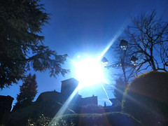
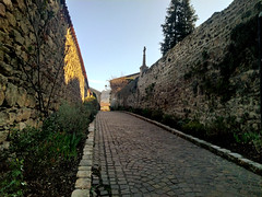
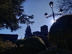
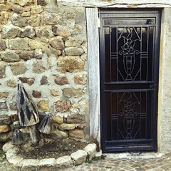
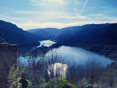
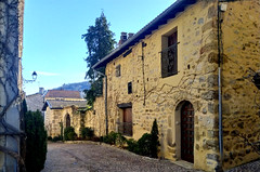
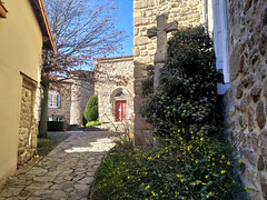
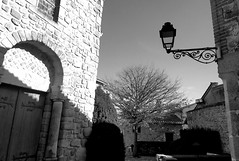
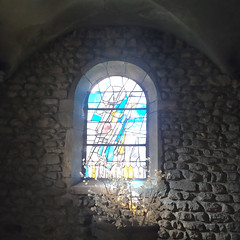
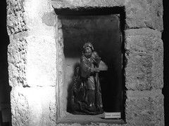
L'Étrat photos
Find a town, a zip code,
a department, a region... in France
I like Map-France.com !
Map of France
Regions
Departments
Cities
Hotels
Directions
Satellite
Weather
Map of France
>
Rhône-Alpes
>
Loire
>
L'Étrat
>
Photos L'Étrat
L'Étrat pictures
L'Étrat
Hotel
Road map
Map
Photos
Weather
Population
Housing
Here are the
photos of the city of L'Étrat
and nearby towns. L'Étrat is located in the department of Loire in the region of Rhône-Alpes. You will find the satellite map of L'Étrat under these photos.
To see photos of nearby towns of L'Étrat, you can try the following links :
-
Photos of La Tour-en-Jarez (42580)
: town located at 0.84 km
-
Photos of Saint-Priest-en-Jarez (42270)
: town located at 1.26 km
-
Photos of Villars (42390)
: town located at 2.53 km
-
Photos of La Talaudière (42350)
: town located at 4.26 km
-
Photos of Saint-Héand (42570)
: town located at 4.77 km
-
Photos of La Fouillouse (42480)
: town located at 4.94 km
-
Photos of Saint-Étienne (42100)
: town located at 5.15 km
-
Photos of Sorbiers (42290)
: town located at 5.56 km
-
Photos of Saint-Genest-Lerpt (42530)
: town located at 5.63 km
-
Photos of Saint-Jean-Bonnefonds (42650)
: town located at 6.48 km
-
Photos of Roche-la-Molière (42230)
: town located at 7.21 km
-
Photos of Saint-Bonnet-les-Oules (42330)
: town located at 7.49 km
- photos of the department prefecture of Loire :
photos of Saint-Étienne
- pictures of others cities of Loire :
Loire
To see L'Étrat from the sky, here is the satellite map of the city of L'Étrat :
L'Étrat map
.
I like L'Étrat !
Photos of the city of L'Étrat
These photos taken near the city of L'Étrat can be shown in full screen clicking on the thumbnails. Photos are copyrighted by their owners.
Église Saint André (Izieux) à Saint-Chamond
CdFUNSS_©FFTir_125 (1)
CdFUNSS_©FFTir_155
Eglise Saint-Pierre à Saint-Chamond
Zénith Saint-Etienne
Arena Saint-Chamond
Manufacture Saint-Etienne
Place Jean Jaurès, Cathédrale Saint-Etienn
Alsthom TFS (Tramway Français Standard) – TPAS (Transports Publics de l’Agglomération Stéphanoise) (Veolia Transdev) / STAS (Société de Transports de l-Agglomération Stéphanoise) n°932
Alsthom TFS (Tramway Français Standard) – TPAS (Transports Publics de l’Agglomération Stéphanoise) (Veolia Transdev) / STAS (Société de Transports de l-Agglomération Stéphanoise) n°928
Mercedes-Benz Citaro – TPAS (Transports Publics de l’Agglomération Stéphanoise) (Veolia Transdev) / STAS (Société de Transports de l-Agglomération Stéphanoise) n°317
Heuliez Bus GX 127 – TPAS (Transports Publics de l’Agglomération Stéphanoise) (Veolia Transdev) / STAS (Société de Transports de l-Agglomération Stéphanoise) n°625
Irisbus Citélis 12 – TPAS (Transports Publics de l’Agglomération Stéphanoise) (Veolia Transdev) / STAS (Société de Transports de l-Agglomération Stéphanoise) n°357
Leyland Atlantean – Radio Scoop
Alsthom TFS (Tramway Français Standard) – TPAS (Transports Publics de l’Agglomération Stéphanoise) (Veolia Transdev) / STAS (Société de Transports de l-Agglomération Stéphanoise) n°901
Setra S 315 NF – SRT (Société Régionale des Transports) / STAS (Société de Transports de l-Agglomération Stéphanoise) n°109
Setra S 415 NF – SRT (Société Régionale des Transports) / STAS (Société de Transports de l-Agglomération Stéphanoise) n°122
Setra S 415 NF – TransRoche (SRT, Société Régionale des Transports) / STAS (Société de Transports de l-Agglomération Stéphanoise) n°97
Setra S 415 NF – SRT (Société Régionale des Transports) / STAS (Société de Transports de l-Agglomération Stéphanoise)
L'Étrat from the sky
Old photos of the city of L'Étrat
These photos taken near the city of L'Étrat can be shown in full screen clicking on the thumbnails. Photos are copyrighted by their owners.
Other maps, hotels and towns in france
Find another town, zip code, department, region, ...
Quick links
L'Étrat
:
L'Étrat
L'Étrat hotels
L'Étrat hotels map
L'Étrat road map
L'Étrat map
L'Étrat pictures
L'Étrat weather
L'Étrat population
L'Étrat housing
Back to the menus Map of France :
Map of France
>
Rhône-Alpes
>
Loire
>
L'Étrat
>
L'Étrat photos
Make a link to this page of L'Étrat with the following code :
<a href="https://www.map-france.com/L'Etrat-42580/photos-L'Etrat.html" title="photos of L'Étrat" />L'Étrat photos</a>
Map of France
|
Regions
|
Departments
|
Cities
|
Partners
|
Terms
|
Contact