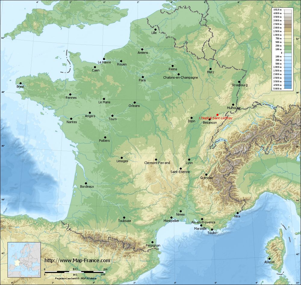
L'Hôpital-Saint-Lieffroy on the relief France map in Lambert 93 coordinates
|
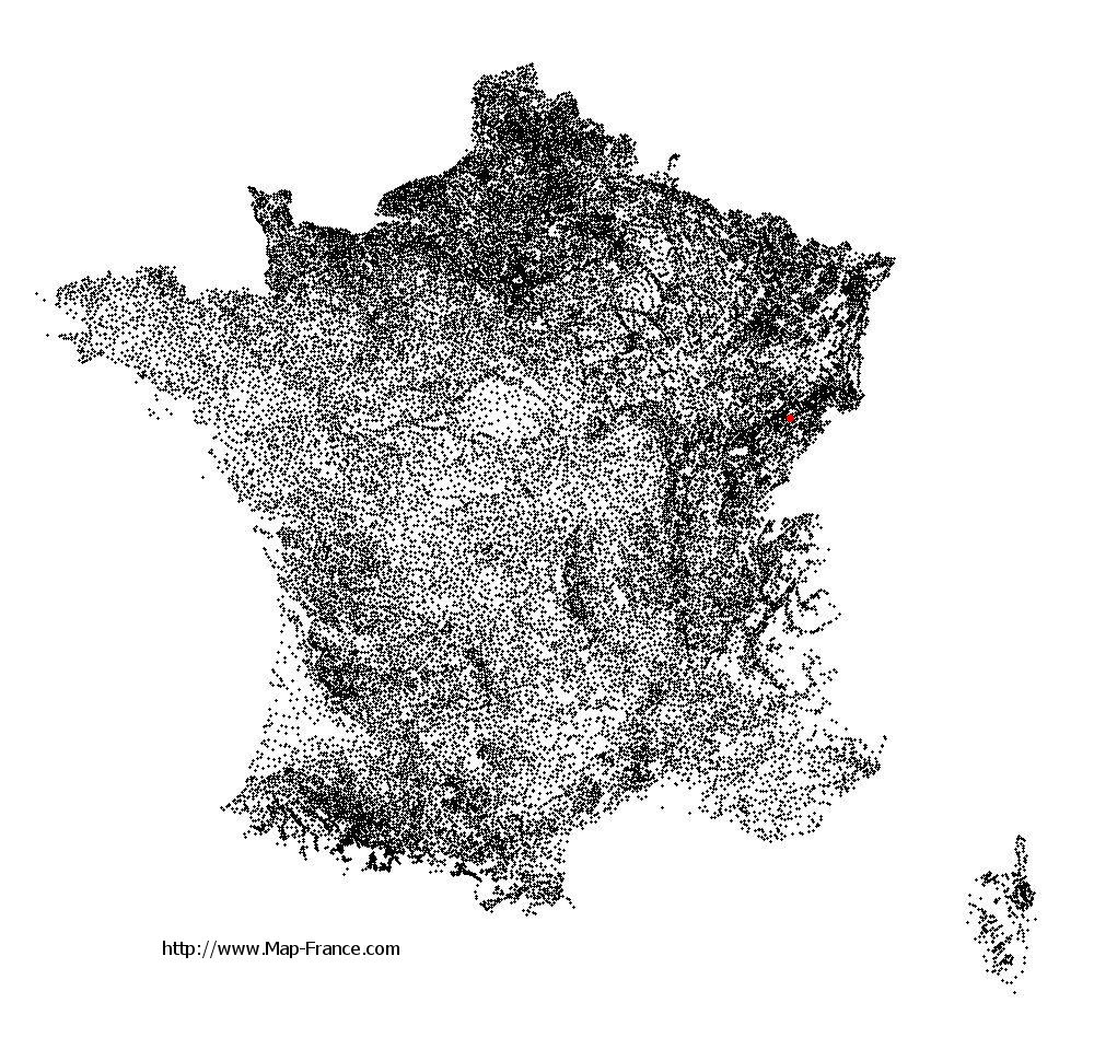
See the map of L'Hôpital-Saint-Lieffroy in full screen (1000 x 949)
|
At left, here is the location of L'Hôpital-Saint-Lieffroy on the relief France map in Lambert 93 coordinates.
Here are the altitudes of L'Hôpital-Saint-Lieffroy :
- Town hall altitude of L'Hôpital-Saint-Lieffroy is 337 meters
- Minimum altitude of L'Hôpital-Saint-Lieffroy is 315 meters
- Maximum altitude of L'Hôpital-Saint-Lieffroy is 445 meters
- Medium altitude of L'Hôpital-Saint-Lieffroy is 380 meters
Here are the altitudes of Besançon, prefecture of Doubs department:
- Town hall altitude of Besançon is 261 meters
- Minimum altitude of Besançon is 235 meters
- Maximum altitude of Besançon is 610 meters
- Medium altitude of Besançon is 423 meters
Here are the altitudes of the french biggest cities:
Paris : 33 meters
Marseille : 20 meters
Lyon : 237 meters
Toulouse : 146 meters
Nice : 10 meters
Nantes : 20 meters
Strasbourg : 144 meters
Montpellier : 35 meters
Bordeaux : 16 meters
Lille : 20 meters
Rennes : 35 meters
Reims : 83 meters
Click here for the terrain map of L'Hôpital-Saint-Lieffroy in full screen:
Relief map of L%27Hôpital-Saint-Lieffroy
|
This relief map of L'Hôpital-Saint-Lieffroy is reusable and modifiable by making a link to this page of the Map-France.com website or by using the given code :
|
Terrain base map of L'Hôpital-Saint-Lieffroy
|

See the terrain base map of L'Hôpital-Saint-Lieffroy in full screen (1000 x 949)
|
Small relief base map of L'Hôpital-Saint-Lieffroy

|
This base map of L'Hôpital-Saint-Lieffroy is reusable and modifiable by making a link to this page of the Map-France.com website or by using the given code :
|
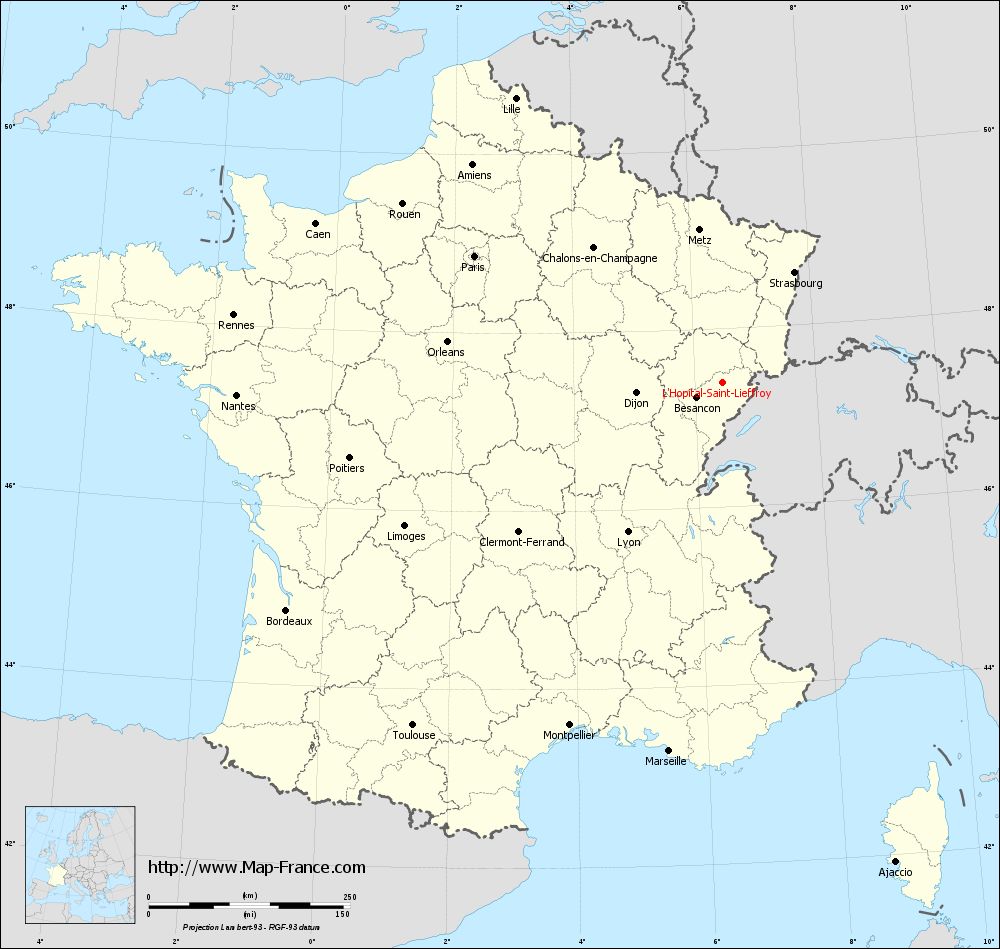
Map of L'Hôpital-Saint-Lieffroy with regions and prefectures
|
View the map of L'Hôpital-Saint-Lieffroy in full screen (1000 x 949)
|
You will find the location of L'Hôpital-Saint-Lieffroy on the map of France of regions in Lambert 93 coordinates. The town of L'Hôpital-Saint-Lieffroy is located in the department of Doubs of the french region Franche-Comté.
Geographical sexagesimal coordinates / GPS (WGS84):
Latitude: 47° 23' 56'' North
Longitude: 06° 27' 27'' East
Geographical decimal coordinates :
Latitude: 47.399 degrees (47.399° North)
Longitude: 6.458 degrees (6.458° East)
Lambert 93 coordinates :
X: 9 607 hectometers
Y: 67 056 hectometers
Lambert 2 coordinates :
X: 9 109 hectometers
Y: 22 747 hectometers
Below, the geographical coordinates of Besançon, prefecture of the Doubs department:
Geographical sexagesimal coordinates / GPS (WGS84):
Latitude: 47° 14' 32'' North
Longitude: 06° 01' 17'' East
Geographical decimal coordinates :
Latitude: 47.245 degrees (47.245° North)
Longitude: 6.026 degrees (6.026° East)
Lambert 93 coordinates :
X: 9 285 hectometers
Y: 66 868 hectometers
Lambert 2 coordinates :
X: 8 789 hectometers
Y: 22 557 hectometers
|
This map of L'Hôpital-Saint-Lieffroy is reusable and modifiable by making a link to this page of the Map-France.com website or by using the given code :
|
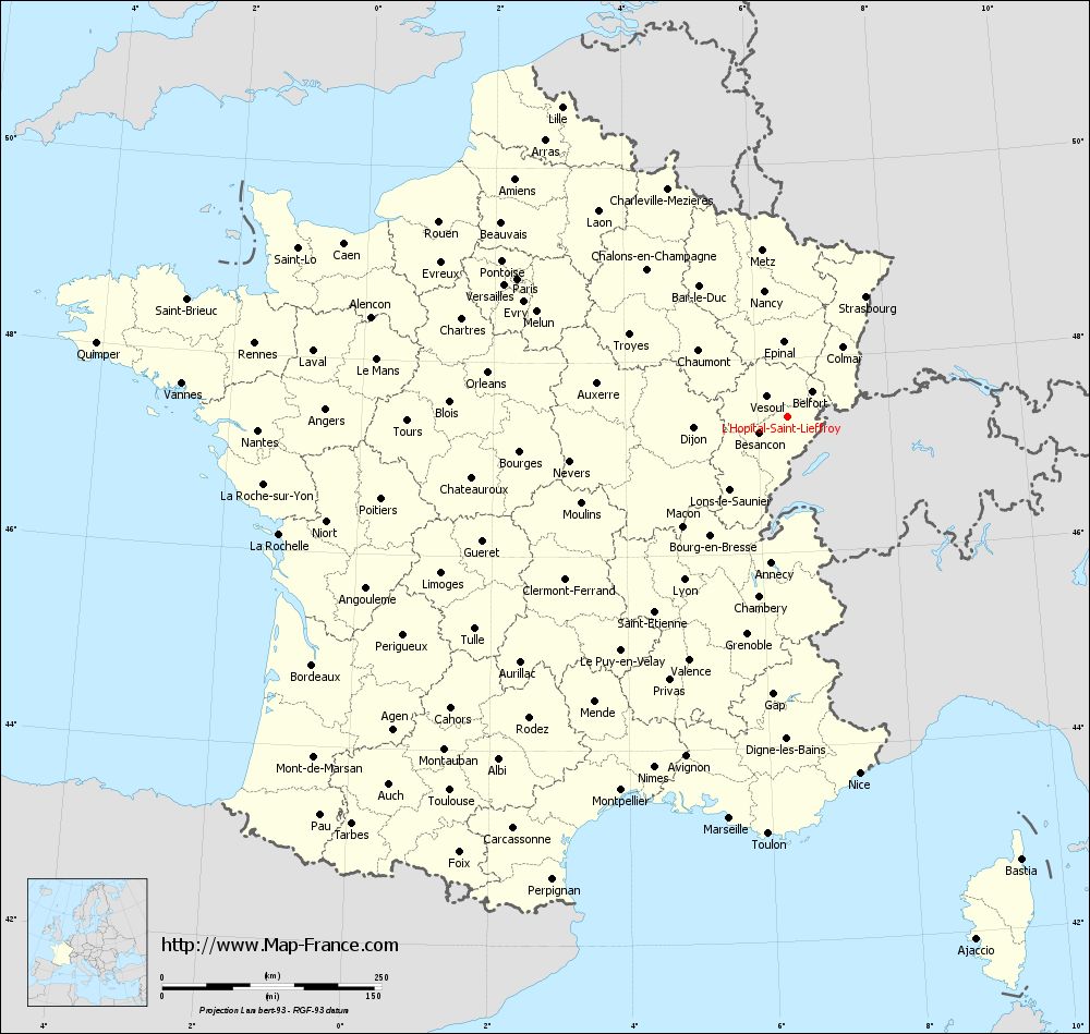
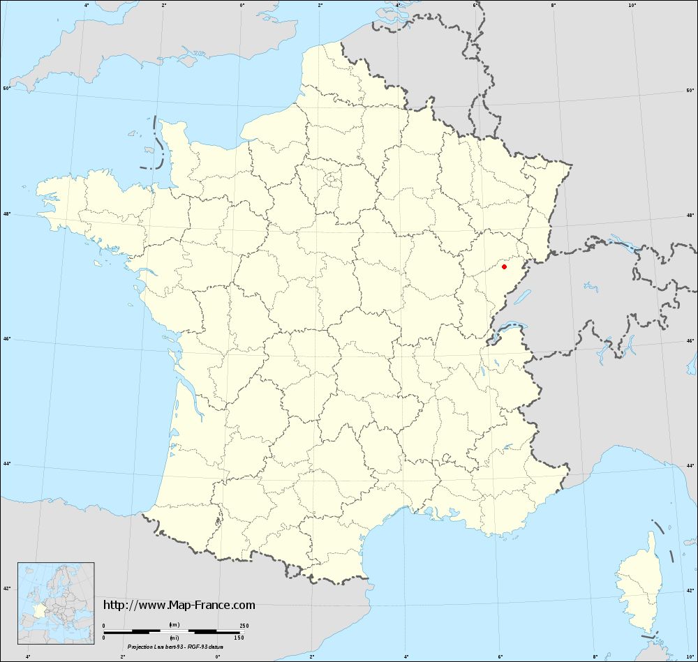
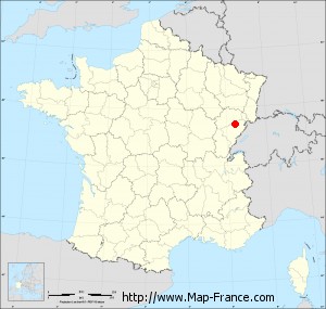
Map of L'Hôpital-Saint-Lieffroy with departments and prefectures
|
Voir la carte of L'Hôpital-Saint-Lieffroy en grand format (1000 x 949)
|
Here is the localization of L'Hôpital-Saint-Lieffroy on the France map of departments in Lambert 93 coordinates. The city of L'Hôpital-Saint-Lieffroy is shown on the map by a red point.
The town of L'Hôpital-Saint-Lieffroy is located in the department of Doubs of the french region Franche-Comté.
The latitude of L'Hôpital-Saint-Lieffroy is 47.399 degrees North.
The longitude of L'Hôpital-Saint-Lieffroy is 6.458 degrees East.
Here the distance between L'Hôpital-Saint-Lieffroy and the biggest cities of France:
Distances are calculated as the crow flies (orthodromic distance)
Distance between L'Hôpital-Saint-Lieffroy and Paris : 345.44 kilometers
Distance between L'Hôpital-Saint-Lieffroy and Marseille : 463.08 kilometers
Distance between L'Hôpital-Saint-Lieffroy and Lyon : 220.25 kilometers
Distance between L'Hôpital-Saint-Lieffroy and Toulouse : 574.39 kilometers
Distance between L'Hôpital-Saint-Lieffroy and Nice : 415 kilometers
Distance between L'Hôpital-Saint-Lieffroy and Nantes : 603.62 kilometers
Distance between L'Hôpital-Saint-Lieffroy and Strasbourg : 163.32 kilometers
Distance between L'Hôpital-Saint-Lieffroy and Montpellier : 466.59 kilometers
Distance between L'Hôpital-Saint-Lieffroy and Bordeaux : 611.2 kilometers
Distance between L'Hôpital-Saint-Lieffroy and Lille : 436.48 kilometers
Distance between L'Hôpital-Saint-Lieffroy and Rennes : 612.7 kilometers
Distance between L'Hôpital-Saint-Lieffroy and Reims : 273.48 kilometers
Clic here to see the map of L'Hôpital-Saint-Lieffroy in full screen:
L%27Hôpital-Saint-Lieffroy on the map of french departments
|
This administrative map of L'Hôpital-Saint-Lieffroy is reusable and modifiable by making a link to this page of the Map-France.com website or by using the given code :
|
Administrative base maps of L'Hôpital-Saint-Lieffroy
|
See the administrative base map of L'Hôpital-Saint-Lieffroy in full screen (1000 x 949)
|
Small administrative base map of L'Hôpital-Saint-Lieffroy
|
This base map administrative of L'Hôpital-Saint-Lieffroy is reusable and modifiable by making a link to this page of the Map-France.com website or by using the given code :
|
 French Version : http://www.cartesfrance.fr