Here are the photos of the town of Le Plessis-l'Échelle and nearby towns. Le Plessis-l'Échelle is located in the department of Loir-et-Cher in the region of Centre. You will find the satellite map of Le Plessis-l'Échelle under these photos.
- photos of the department prefecture of Loir-et-Cher : photos of Blois - pictures of others cities of Loir-et-Cher : Loir-et-Cher
To see Le Plessis-l'Échelle from the sky, here is the satellite map of the town of Le Plessis-l'Échelle : Le Plessis-l'Échelle map.
I like Le Plessis-l'Échelle !
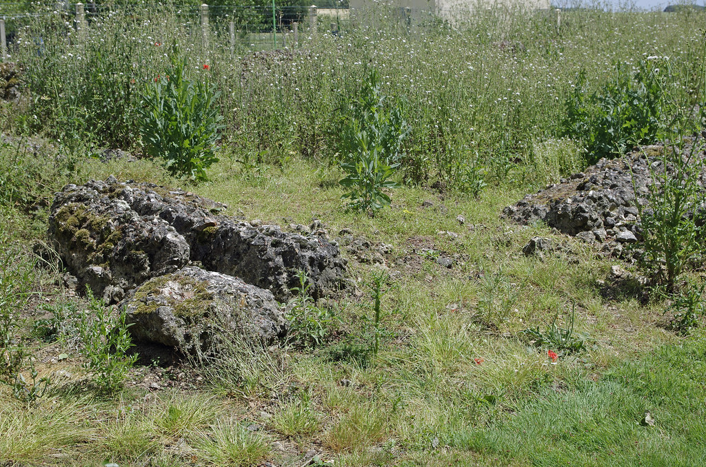
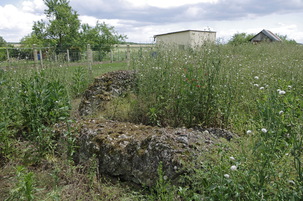
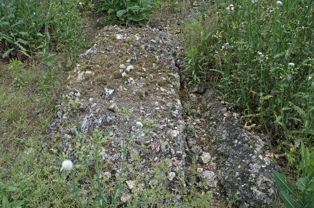
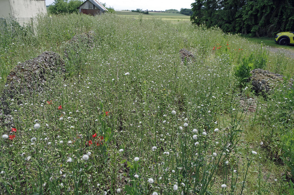
Photos of the town of Le Plessis-l'Échelle
These photos taken near the town of Le Plessis-l'Échelle can be shown in full screen clicking on the thumbnails. Photos are copyrighted by their owners.
These photos taken near the town of Le Plessis-l'Échelle can be shown in full screen clicking on the thumbnails. Photos are copyrighted by their owners.
Other maps, hotels and towns in france
Find another town, zip code, department, region, ...