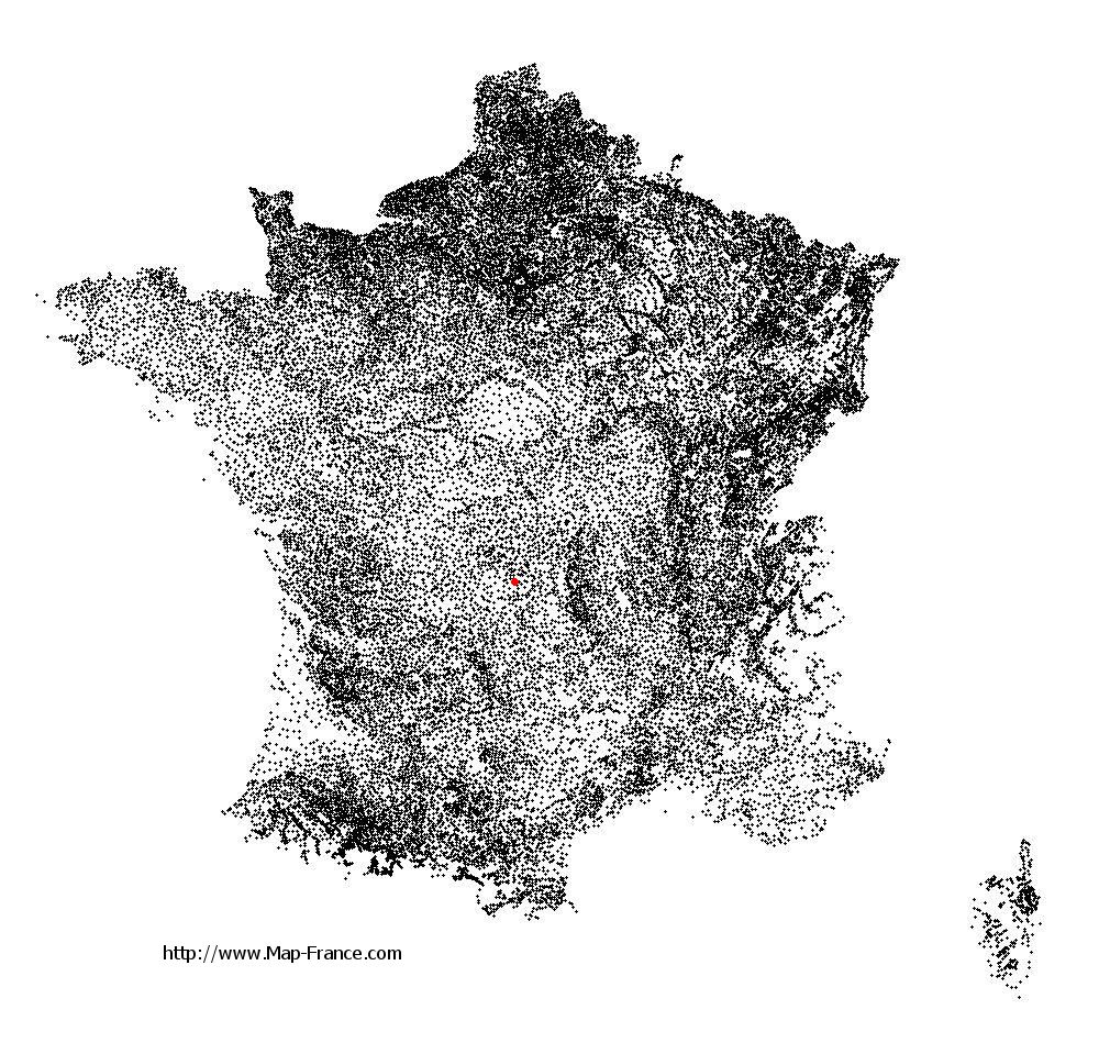
Magnat-l'Étrange on the relief France map in Lambert 93 coordinates
|

See the map of Magnat-l'Étrange in full screen (1000 x 949)
|
At left, here is the location of Magnat-l'Étrange on the relief France map in Lambert 93 coordinates.
Here are the altitudes of Magnat-l'Étrange :
- Town hall altitude of Magnat-l'Étrange is 680 meters
- Minimum altitude of Magnat-l'Étrange is 636 meters
- Maximum altitude of Magnat-l'Étrange is 868 meters
- Medium altitude of Magnat-l'Étrange is 752 meters
Here are the altitudes of Guéret, prefecture of Creuse department:
- Town hall altitude of Guéret is 431 meters
- Minimum altitude of Guéret is 350 meters
- Maximum altitude of Guéret is 685 meters
- Medium altitude of Guéret is 518 meters
Here are the altitudes of the french biggest cities:
Paris : 33 meters
Marseille : 20 meters
Lyon : 237 meters
Toulouse : 146 meters
Nice : 10 meters
Nantes : 20 meters
Strasbourg : 144 meters
Montpellier : 35 meters
Bordeaux : 16 meters
Lille : 20 meters
Rennes : 35 meters
Reims : 83 meters
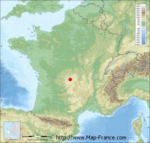
Click here for the terrain map of Magnat-l'Étrange in full screen:
Relief map of Magnat-l%27Étrange
|
This relief map of Magnat-l'Étrange is reusable and modifiable by making a link to this page of the Map-France.com website or by using the given code :
|
Terrain base map of Magnat-l'Étrange
|

See the terrain base map of Magnat-l'Étrange in full screen (1000 x 949)
|
Small relief base map of Magnat-l'Étrange
|
This base map of Magnat-l'Étrange is reusable and modifiable by making a link to this page of the Map-France.com website or by using the given code :
|
Map of Magnat-l'Étrange with regions and prefectures
|
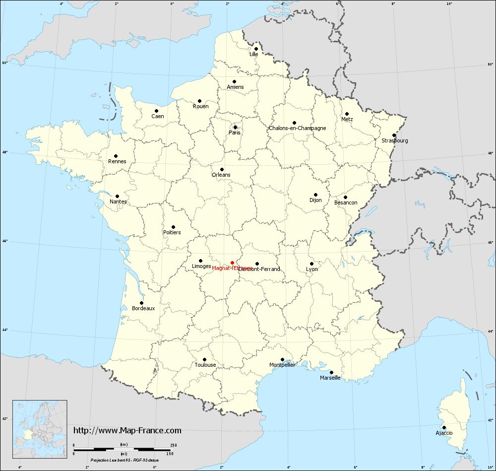
View the map of Magnat-l'Étrange in full screen (1000 x 949)
|
You will find the location of Magnat-l'Étrange on the map of France of regions in Lambert 93 coordinates. The town of Magnat-l'Étrange is located in the department of Creuse of the french region Limousin.
Geographical sexagesimal coordinates / GPS (WGS84):
Latitude: 45° 47' 38'' North
Longitude: 02° 16' 42'' East
Geographical decimal coordinates :
Latitude: 45.793 degrees (45.793° North)
Longitude: 2.279 degrees (2.279° East)
Lambert 93 coordinates :
X: 6 439 hectometers
Y: 65 218 hectometers
Lambert 2 coordinates :
X: 5 955 hectometers
Y: 20 882 hectometers
Below, the geographical coordinates of Guéret, prefecture of the Creuse department:
Geographical sexagesimal coordinates / GPS (WGS84):
Latitude: 46° 10' 14'' North
Longitude: 01° 52' 06'' East
Geographical decimal coordinates :
Latitude: 46.169 degrees (46.169° North)
Longitude: 1.875 degrees (1.875° East)
Lambert 93 coordinates :
X: 6 127 hectometers
Y: 65 640 hectometers
Lambert 2 coordinates :
X: 5 638 hectometers
Y: 21 301 hectometers
|
This map of Magnat-l'Étrange is reusable and modifiable by making a link to this page of the Map-France.com website or by using the given code :
|
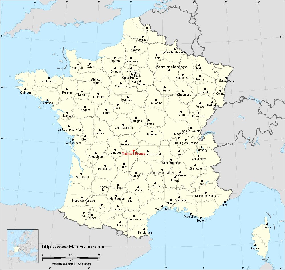
Map of Magnat-l'Étrange with departments and prefectures
|
Voir la carte of Magnat-l'Étrange en grand format (1000 x 949)
|
Here is the localization of Magnat-l'Étrange on the France map of departments in Lambert 93 coordinates. The city of Magnat-l'Étrange is shown on the map by a red point.
The town of Magnat-l'Étrange is located in the department of Creuse of the french region Limousin.
The latitude of Magnat-l'Étrange is 45.793 degrees North.
The longitude of Magnat-l'Étrange is 2.279 degrees East.
Here the distance between Magnat-l'Étrange and the biggest cities of France:
Distances are calculated as the crow flies (orthodromic distance)
Distance between Magnat-l'Étrange and Paris : 340.91 kilometers
Distance between Magnat-l'Étrange and Marseille : 371.31 kilometers
Distance between Magnat-l'Étrange and Lyon : 198.07 kilometers
Distance between Magnat-l'Étrange and Toulouse : 252.27 kilometers
Distance between Magnat-l'Étrange and Nice : 456.33 kilometers
Distance between Magnat-l'Étrange and Nantes : 333.17 kilometers
Distance between Magnat-l'Étrange and Strasbourg : 516.71 kilometers
Distance between Magnat-l'Étrange and Montpellier : 273.37 kilometers
Distance between Magnat-l'Étrange and Bordeaux : 246.67 kilometers
Distance between Magnat-l'Étrange and Lille : 540.2 kilometers
Distance between Magnat-l'Étrange and Rennes : 395.3 kilometers
Distance between Magnat-l'Étrange and Reims : 406.81 kilometers
Clic here to see the map of Magnat-l'Étrange in full screen:
Magnat-l%27Étrange on the map of french departments
|
This administrative map of Magnat-l'Étrange is reusable and modifiable by making a link to this page of the Map-France.com website or by using the given code :
|
Administrative base maps of Magnat-l'Étrange
|

See the administrative base map of Magnat-l'Étrange in full screen (1000 x 949)
|
Small administrative base map of Magnat-l'Étrange
|
This base map administrative of Magnat-l'Étrange is reusable and modifiable by making a link to this page of the Map-France.com website or by using the given code :
|
 French Version : http://www.cartesfrance.fr