|
The village of Mont-de-l'If is a small village located north of France. The town of Mont-de-l'If is located in the department of Seine-Maritime of the french region Haute-Normandie. The town of Mont-de-l'If is located in the township of Pavilly part of the district of Rouen. The area code for Mont-de-l'If is 76444 (also known as code INSEE), and the Mont-de-l'If zip code is 76190.
Geography and map of Mont-de-l'If :
The altitude of the city hall of Mont-de-l'If is approximately 131 meters. The Mont-de-l'If surface is 3.50 km ². The latitude and longitude of Mont-de-l'If are 49.59 degrees North and 0.826 degrees East.
Nearby cities and towns of Mont-de-l'If are :
Croix-Mare (76190) at 2.16 km, La Folletière (76190) at 2.43 km, Fréville (76190) at 2.48 km, Écalles-Alix (76190) at 2.87 km, Saint-Clair-sur-les-Monts (76190) at 3.45 km, Carville-la-Folletière (76190) at 3.46 km, Mesnil-Panneville (76570) at 3.48 km, Blacqueville (76190) at 4.27 km.
(The distances to these nearby towns of Mont-de-l'If are calculated as the crow flies)
Population and housing of Mont-de-l'If :
The population of Mont-de-l'If was 96 in 1999, 100 in 2006 and 100 in 2007. The population density of Mont-de-l'If is 28.57 inhabitants per km². The number of housing of Mont-de-l'If was 42 in 2007. These homes of Mont-de-l'If consist of 36 main residences, 5 second or occasional homes and 1 vacant homes. |
|
|
Hotel Mont-de-l'If
|
|
|
Book now ! Best Price Guaranteed, no booking fees, pay at the hotel with our partner Booking.com, leader in online hotel reservation.
Find all hotels of Mont-de-l'If : Hotel Mont-de-l'If
| |
|
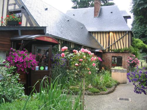
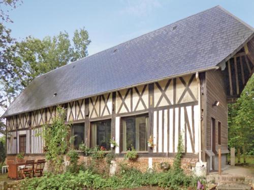
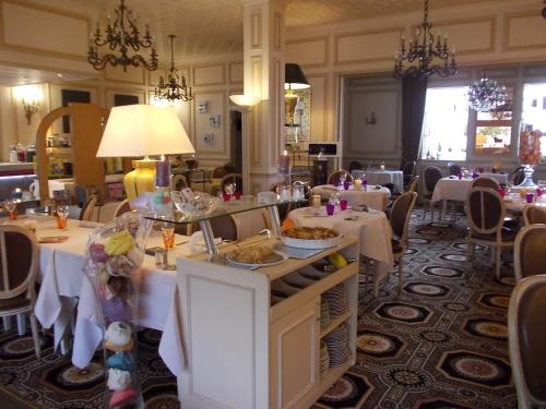
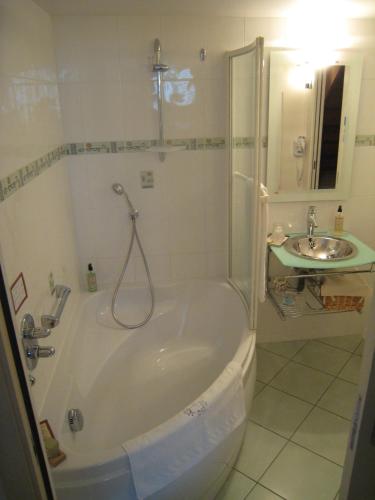
Guest accommodation : Auberge du Val au Cesne

Boasting a garden and a restaurant, Auberge du Val au Cesne is set in Saint-Clair-sur-les-Monts. This 3-star inn offers a bar. The inn features a local restaurant as well as fre...
Rate : from 90.00 €
Address : 140 route departementale n°5 76190 Saint-Clair-sur-les-Monts
Distance Guest accommodation - Mont-de-l'If : 1.92 km
|
|
|
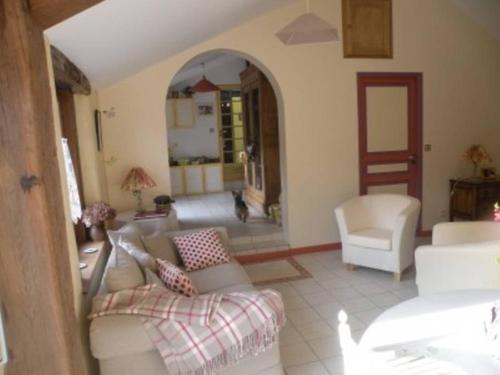
Guest accommodation : Holiday home Toufrreville Corbeline *LXXXVI *
Holiday home Toufrreville Corbeline *LXXXVI * is situated in Saint-Clair-sur-les-Monts. Guests staying at this holiday home have access to a fully equipped kitchenette. The hol...
Contact : 76190 Saint-Clair-sur-les-Monts
Distance Guest accommodation - Mont-de-l'If : 2.34 km
|
|
|
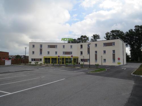
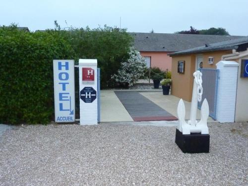
Hotel : B&B Hôtel Yvetot
Situated in Yvetot, 45 km from Honfleur, B&B Hôtel Yvetot features air-conditioned rooms and free private parking. Each room is equipped with a flat-screen TV with satellite ch...
Prices : from 62.90 €
to 116.90 €
Contact : 6B Avenue Micheline Ostermeyer 76190 Yvetot
Distance Hotel - Mont-de-l'If : 4.69 km
|
|
|
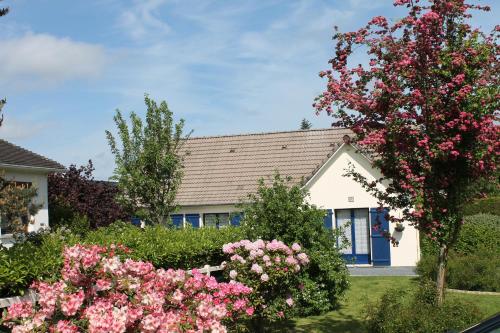
Guest accommodation : les orchidees sauvages

Boasting barbecue facilities and a garden, les orchidees sauvages offers accommodation in Touffreville-la-Corbeline with free WiFi and garden views. This holiday home provides a...
Contact : 3077 Route de Rançon 76190 Touffreville-la-Corbeline
Distance Guest accommodation - Mont-de-l'If : 5.71 km
|
|
|
Bed and Breakfast : Une Chambre D'Hote Yvetot
Featuring a garden, Une Chambre D'Hote Yvetot provides accommodation in Yvetot with free WiFi and garden views. The accommodation is 37 km from Rouen. A continental breakfast i...
Price : from 51.00 €
to 60.00 €
Address : 30 Rue de Bailly 76190 Yvetot
Distance Bed and Breakfast - Mont-de-l'If : 5.85 km
|
|
|
Hotel : Hôtel du Havre (OH)
Boasting a bar, Hôtel du Havre (OH) is set in Yvetot. This 2-star hotel offers free WiFi. A buffet breakfast can be enjoyed at the property. Rouen is 35 km from the hotel. Dea...
Prices : from 71.50 €
to 95.00 €
Contact : Face à la Poste 2 Rue Guy de Maupassant 76190 Yvetot
Distance Hotel - Mont-de-l'If : 6.08 km
|
|
|
Hotel : Hôtel Le Manoir aux Vaches
Located in central Yvetot, 3 minutes’ drive from the train station, this hotel designed to be accessible to disabled guests. It proposes Calvados tasting upon request and air-co...
Rate : from 96.00 €
to 170.00 €
Contact : 8 rue Felix Faure 76190 Yvetot
Distance Hotel - Mont-de-l'If : 6.30 km
|
|
|
Hotel : Hotel La Croisière
Located just outside the village of Louvetot, this nautical-themed hotel offers free on-site parking and guest rooms with free WiFi access. The soundproofed rooms at Hotel La C...
Price : from 65.00 €
Contact : Route du Bourg D131 76490 Louvetot
Distance Hotel - Mont-de-l'If : 7.71 km
|
|
|
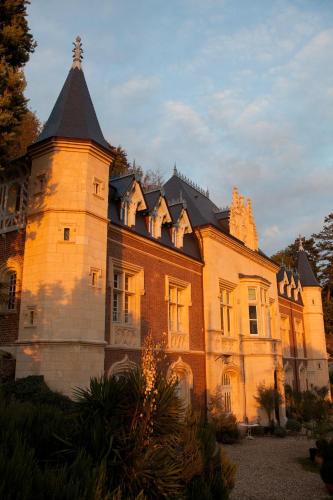
Guest accommodation : Manoir de Rétival
A fully restored and refurbished 12th-century manor in the Boucles de la Seine Natural Regional Park, Manoir de Rétival offers views of the Seine River, free Wi-Fi throughout, a...
Prices : from 212.50 €
to 680.00 €
Address : 2 Rue Saint Clair 76490 Caudebec-en-Caux
Distance Guest accommodation - Mont-de-l'If : 9.75 km
|
|
|
Guest accommodation : Le Chateau de Valliquerville
Le Chateau de Valliquerville is situated in Valliquerville. The accommodation is 30 km from Fécamp. The holiday home comes with 9 bedrooms and a fully fitted kitchen with a dis...
Rate : from 900.00 €
Contact : 460 Rue de la Mairie 76190 Valliquerville
Distance Guest accommodation - Mont-de-l'If : 9.78 km
|
|
Find another hotel near Mont-de-l'If : Mont-de-l'If hotels list
|
Map of Mont-de-l'If
|
|
Map of Mont-de-l'If :
At right you can find the localization of Mont-de-l'If on the map of France. Below, this is the satellite map of Mont-de-l'If. A road map, and maps templates of Mont-de-l'If are available here : "road map of Mont-de-l'If". This map show Mont-de-l'If seen by the satellite of Google Map. To see the streets of Mont-de-l'If or move on another zone, use the buttons "zoom" and "map" on top of this dynamic map.
Search on the map of Mont-de-l'If :
To search hotels, housings, tourist information office, administrations or other services, use the Google search integrated to the map on the following page : "map Mont-de-l'If".
Hotels of Mont-de-l'If are listed on the map with the following icons: 
The map of Mont-de-l'If is centred in the following coordinates :
|

|
|
|
|
Print the map of Mont-de-l'If

Print the map of Mont-de-l'If : map of Mont-de-l'If
|
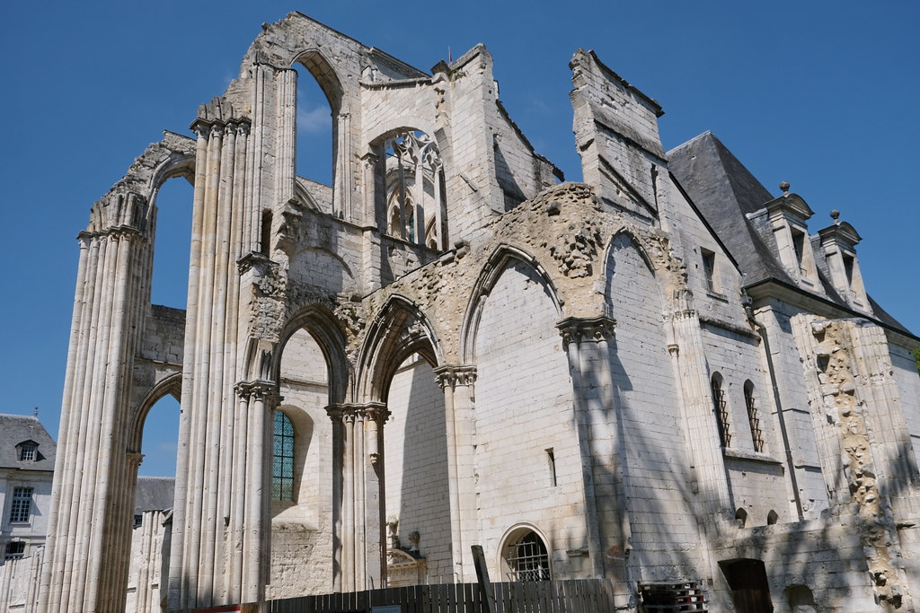
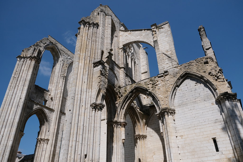
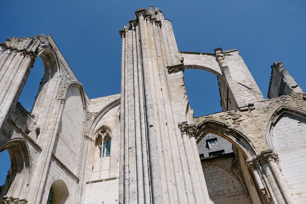
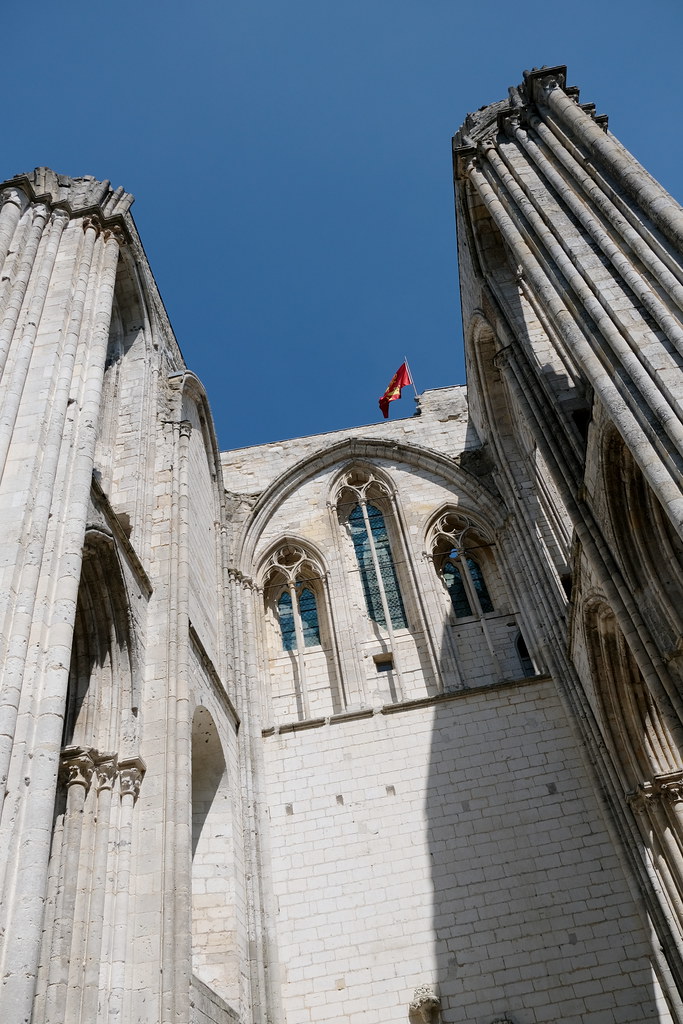
Photos Mont-de-l'If
|
See all photos of Mont-de-l'If :
Other photos of Mont-de-l'If and nearby towns can be found here: photos Mont-de-l'If
|
|
Mont-de-l'If weather forecast
Find next hours and 7 days weather forecast for Mont-de-l'If here : weather Mont-de-l'If (with english metrics)
This is the last weather forecast for Mont-de-l'If collected by the nearest observation station of Pavilly.
Week Forecast:
The latest weather data for Mont-de-l'If were collected Sunday, 02 August 2026 at 11:05 from the nearest observation station of Pavilly.
| Sunday, August 2nd |
29°C 13°C
0%
50%
|
Partly cloudy
Temperature Max: 29°C Temperature Min: 13°C
Precipitation Probability: 0%
Percentage of sky occluded by clouds: 50%
Wind speed: 9 km/h Sout-East
Humidity: 44%° UV Index: 6
Sunrise: 06:28 Sunset: 21:35 |
|
| | Monday, August 3rd |
33°C 17°C
0%
84%
|
Mostly cloudy
Temperature Max: 33°C Temperature Min: 17°C
Precipitation Probability: 0%
Percentage of sky occluded by clouds: 84%
Wind speed: 7 km/h North
Humidity: 44%° UV Index: 4
Sunrise: 06:29 Sunset: 21:34 |
|
| | Tuesday, August 4th |
29°C 17°C
24%
36%
|
Mostly clear
Temperature Max: 29°C Temperature Min: 17°C
Precipitation Probability: 24% (Rain)
Percentage of sky occluded by clouds: 36%
Wind speed: 14 km/h North-East
Humidity: 54%° UV Index: 6
Sunrise: 06:31 Sunset: 21:32 |
|
| | Wednesday, August 5th |
25°C 16°C
24%
49%
|
Partly cloudy
Temperature Max: 25°C Temperature Min: 16°C
Precipitation Probability: 24% (Rain)
Percentage of sky occluded by clouds: 49%
Wind speed: 21 km/h East
Humidity: 63%° UV Index: 6
Sunrise: 06:32 Sunset: 21:31 |
|
|
Attribution: 
|
|
Other maps, hotels and towns in france
Find another town, zip code, department, region, ...
Quick links Mont-de-l'If :
Make a link to this page of Mont-de-l'If with the following code :
|
|
|
 French Version : http://www.cartesfrance.fr/carte-france-ville/76444_Mont-de-l'If.html