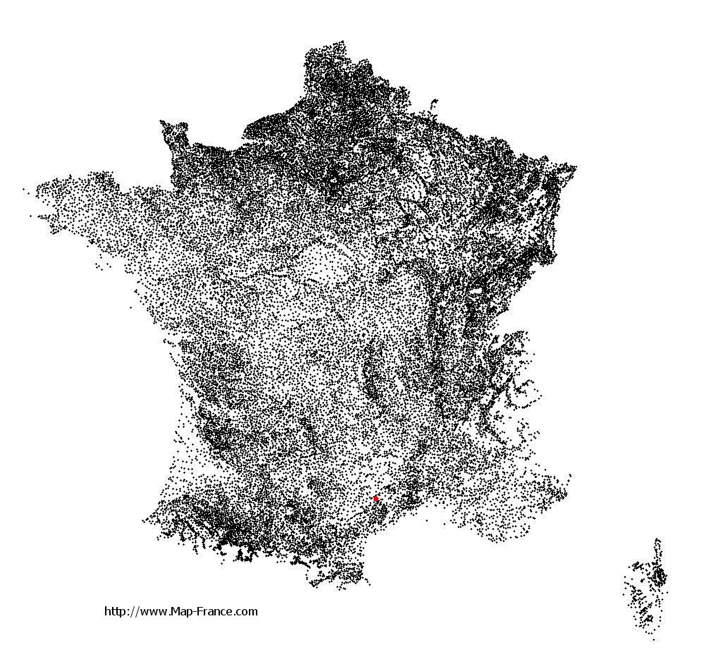
Pégairolles-de-l'Escalette on the relief France map in Lambert 93 coordinates
|
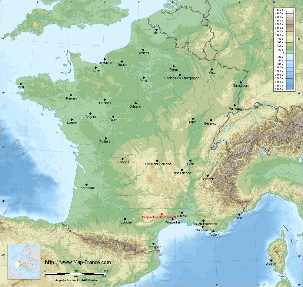
See the map of Pégairolles-de-l'Escalette in full screen (1000 x 949)
|
At left, here is the location of Pégairolles-de-l'Escalette on the relief France map in Lambert 93 coordinates.
Here are the altitudes of Pégairolles-de-l'Escalette :
- Town hall altitude of Pégairolles-de-l'Escalette is 310 meters
- Minimum altitude of Pégairolles-de-l'Escalette is 223 meters
- Maximum altitude of Pégairolles-de-l'Escalette is 822 meters
- Medium altitude of Pégairolles-de-l'Escalette is 523 meters
Here are the altitudes of Montpellier, prefecture of Hérault department:
- Town hall altitude of Montpellier is 35 meters
- Minimum altitude of Montpellier is 7 meters
- Maximum altitude of Montpellier is 121 meters
- Medium altitude of Montpellier is 64 meters
Here are the altitudes of the french biggest cities:
Paris : 33 meters
Marseille : 20 meters
Lyon : 237 meters
Toulouse : 146 meters
Nice : 10 meters
Nantes : 20 meters
Strasbourg : 144 meters
Montpellier : 35 meters
Bordeaux : 16 meters
Lille : 20 meters
Rennes : 35 meters
Reims : 83 meters
Click here for the terrain map of Pégairolles-de-l'Escalette in full screen:
Relief map of Pégairolles-de-l%27Escalette
|
This relief map of Pégairolles-de-l'Escalette is reusable and modifiable by making a link to this page of the Map-France.com website or by using the given code :
|
Terrain base map of Pégairolles-de-l'Escalette
|

See the terrain base map of Pégairolles-de-l'Escalette in full screen (1000 x 949)
|
Small relief base map of Pégairolles-de-l'Escalette

|
This base map of Pégairolles-de-l'Escalette is reusable and modifiable by making a link to this page of the Map-France.com website or by using the given code :
|
Map of Pégairolles-de-l'Escalette with regions and prefectures
|
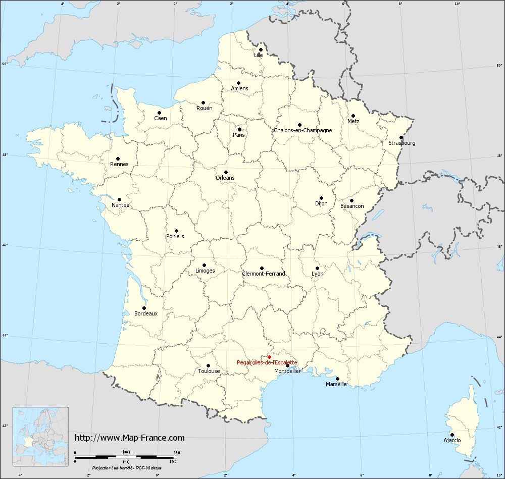
View the map of Pégairolles-de-l'Escalette in full screen (1000 x 949)
|
You will find the location of Pégairolles-de-l'Escalette on the map of France of regions in Lambert 93 coordinates. The town of Pégairolles-de-l'Escalette is located in the department of Hérault of the french region Languedoc-Roussillon.
Geographical sexagesimal coordinates / GPS (WGS84):
Latitude: 43° 48' 10'' North
Longitude: 03° 19' 22'' East
Geographical decimal coordinates :
Latitude: 43.803 degrees (43.803° North)
Longitude: 3.323 degrees (3.323° East)
Lambert 93 coordinates :
X: 7 260 hectometers
Y: 63 005 hectometers
Lambert 2 coordinates :
X: 6 795 hectometers
Y: 18 673 hectometers
Below, the geographical coordinates of Montpellier, prefecture of the Hérault department:
Geographical sexagesimal coordinates / GPS (WGS84):
Latitude: 43° 36' 40'' North
Longitude: 03° 52' 36'' East
Geographical decimal coordinates :
Latitude: 43.609 degrees (43.609° North)
Longitude: 3.874 degrees (3.874° East)
Lambert 93 coordinates :
X: 7 708 hectometers
Y: 62 795 hectometers
Lambert 2 coordinates :
X: 7 245 hectometers
Y: 18 467 hectometers
|
This map of Pégairolles-de-l'Escalette is reusable and modifiable by making a link to this page of the Map-France.com website or by using the given code :
|
Map of Pégairolles-de-l'Escalette with departments and prefectures
|
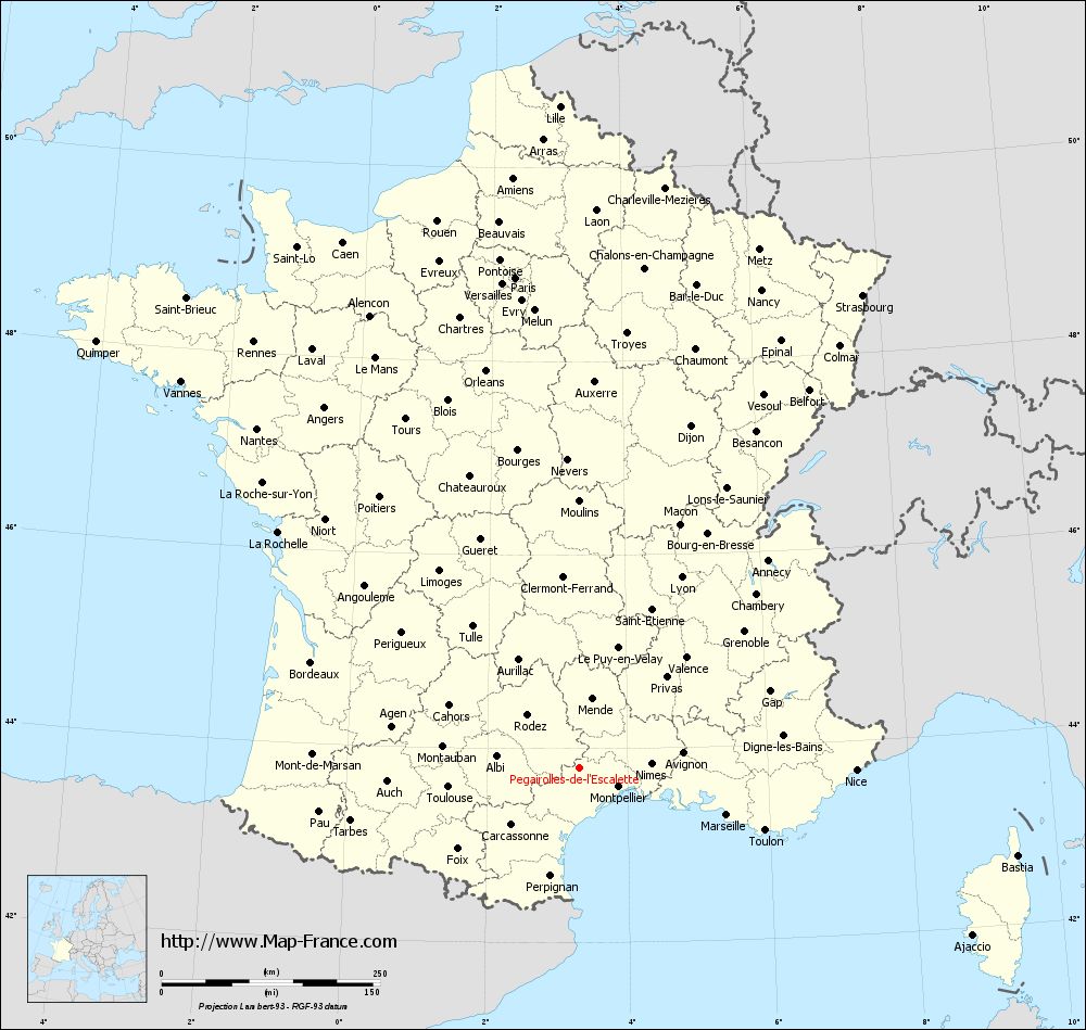
Voir la carte of Pégairolles-de-l'Escalette en grand format (1000 x 949)
|
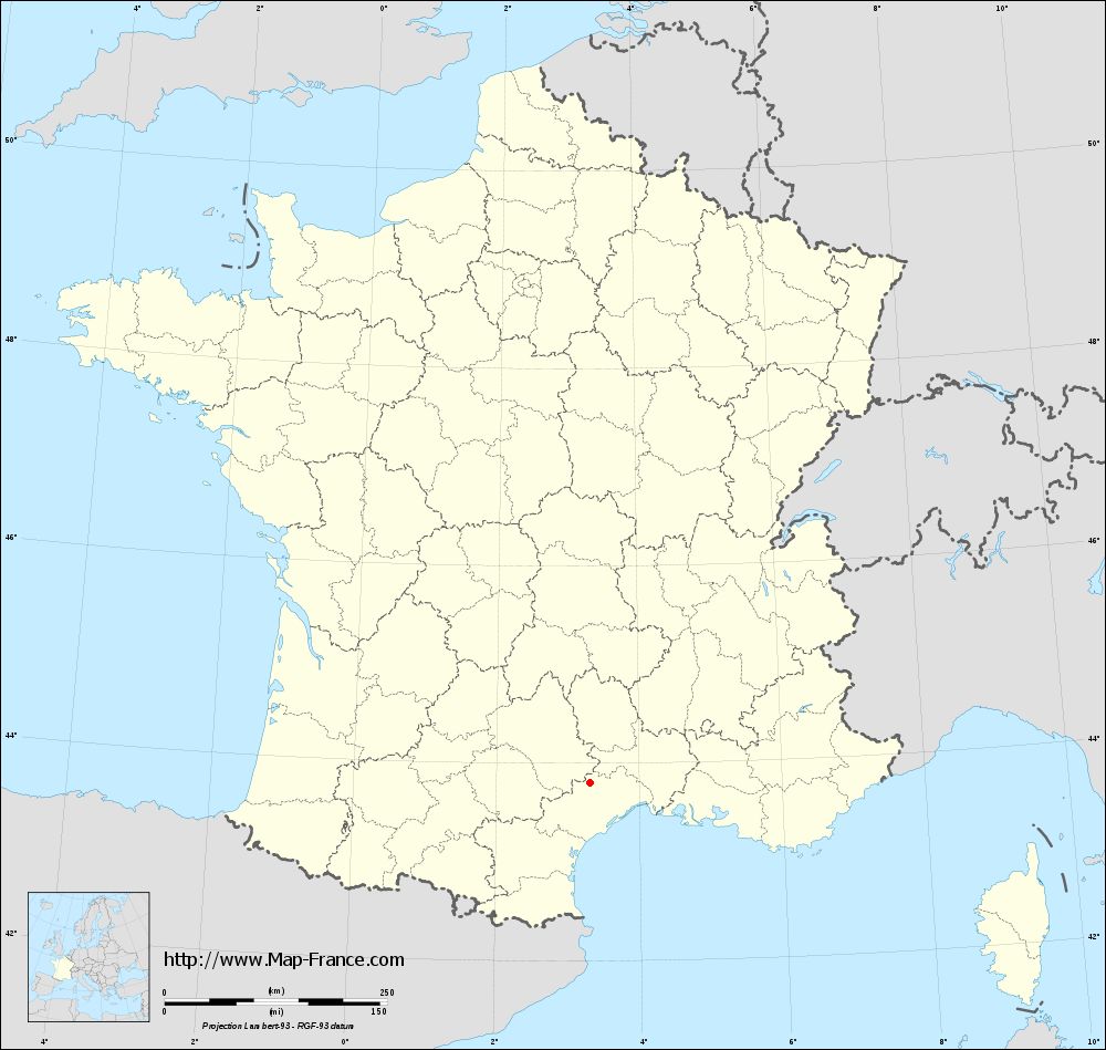
Here is the localization of Pégairolles-de-l'Escalette on the France map of departments in Lambert 93 coordinates. The city of Pégairolles-de-l'Escalette is shown on the map by a red point.
The town of Pégairolles-de-l'Escalette is located in the department of Hérault of the french region Languedoc-Roussillon.
The latitude of Pégairolles-de-l'Escalette is 43.803 degrees North.
The longitude of Pégairolles-de-l'Escalette is 3.323 degrees East.
Here the distance between Pégairolles-de-l'Escalette and the biggest cities of France:
Distances are calculated as the crow flies (orthodromic distance)
Distance between Pégairolles-de-l'Escalette and Paris : 566.91 kilometers
Distance between Pégairolles-de-l'Escalette and Marseille : 176.38 kilometers
Distance between Pégairolles-de-l'Escalette and Lyon : 247.94 kilometers
Distance between Pégairolles-de-l'Escalette and Toulouse : 152.11 kilometers
Distance between Pégairolles-de-l'Escalette and Nice : 316.28 kilometers
Distance between Pégairolles-de-l'Escalette and Nantes : 536.68 kilometers
Distance between Pégairolles-de-l'Escalette and Strasbourg : 630.98 kilometers
Distance between Pégairolles-de-l'Escalette and Montpellier : 49.24 kilometers
Distance between Pégairolles-de-l'Escalette and Bordeaux : 330.65 kilometers
Distance between Pégairolles-de-l'Escalette and Lille : 758.59 kilometers
Distance between Pégairolles-de-l'Escalette and Rennes : 614.63 kilometers
Distance between Pégairolles-de-l'Escalette and Reims : 608.49 kilometers
Clic here to see the map of Pégairolles-de-l'Escalette in full screen:
Pégairolles-de-l%27Escalette on the map of french departments
|
This administrative map of Pégairolles-de-l'Escalette is reusable and modifiable by making a link to this page of the Map-France.com website or by using the given code :
|
Administrative base maps of Pégairolles-de-l'Escalette
|
See the administrative base map of Pégairolles-de-l'Escalette in full screen (1000 x 949)
|
Small administrative base map of Pégairolles-de-l'Escalette
|
This base map administrative of Pégairolles-de-l'Escalette is reusable and modifiable by making a link to this page of the Map-France.com website or by using the given code :
|
 French Version : http://www.cartesfrance.fr