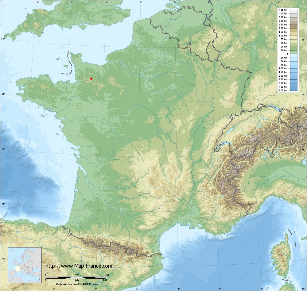
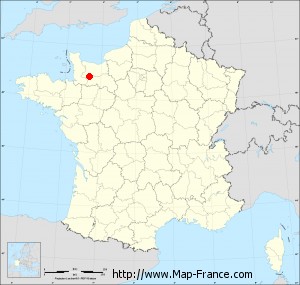
Saint-Pierre-d'Entremont on the relief France map in Lambert 93 coordinates
|

See the map of Saint-Pierre-d'Entremont in full screen (1000 x 949)
|
At left, here is the location of Saint-Pierre-d'Entremont on the relief France map in Lambert 93 coordinates.
Here are the altitudes of Saint-Pierre-d'Entremont :
- Town hall altitude of Saint-Pierre-d'Entremont is 150 meters
- Minimum altitude of Saint-Pierre-d'Entremont is 106 meters
- Maximum altitude of Saint-Pierre-d'Entremont is 216 meters
- Medium altitude of Saint-Pierre-d'Entremont is 161 meters
Here are the altitudes of Alençon, prefecture of Orne department:
- Town hall altitude of Alençon is 130 meters
- Minimum altitude of Alençon is 127 meters
- Maximum altitude of Alençon is 152 meters
- Medium altitude of Alençon is 140 meters
Here are the altitudes of the french biggest cities:
Paris : 33 meters
Marseille : 20 meters
Lyon : 237 meters
Toulouse : 146 meters
Nice : 10 meters
Nantes : 20 meters
Strasbourg : 144 meters
Montpellier : 35 meters
Bordeaux : 16 meters
Lille : 20 meters
Rennes : 35 meters
Reims : 83 meters
Click here for the terrain map of Saint-Pierre-d'Entremont in full screen:
Relief map of Saint-Pierre-d%27Entremont
|
This relief map of Saint-Pierre-d'Entremont is reusable and modifiable by making a link to this page of the Map-France.com website or by using the given code :
|
Terrain base map of Saint-Pierre-d'Entremont
|
See the terrain base map of Saint-Pierre-d'Entremont in full screen (1000 x 949)
|
Small relief base map of Saint-Pierre-d'Entremont
|
This base map of Saint-Pierre-d'Entremont is reusable and modifiable by making a link to this page of the Map-France.com website or by using the given code :
|
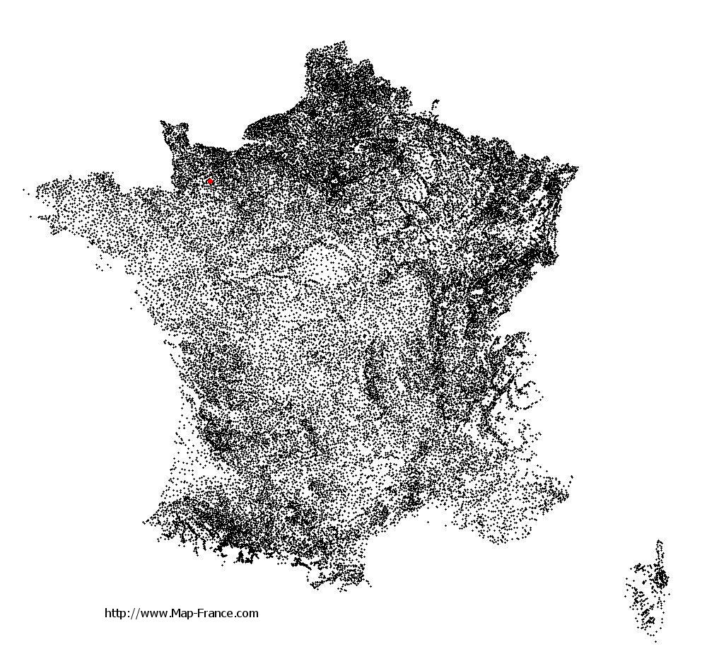
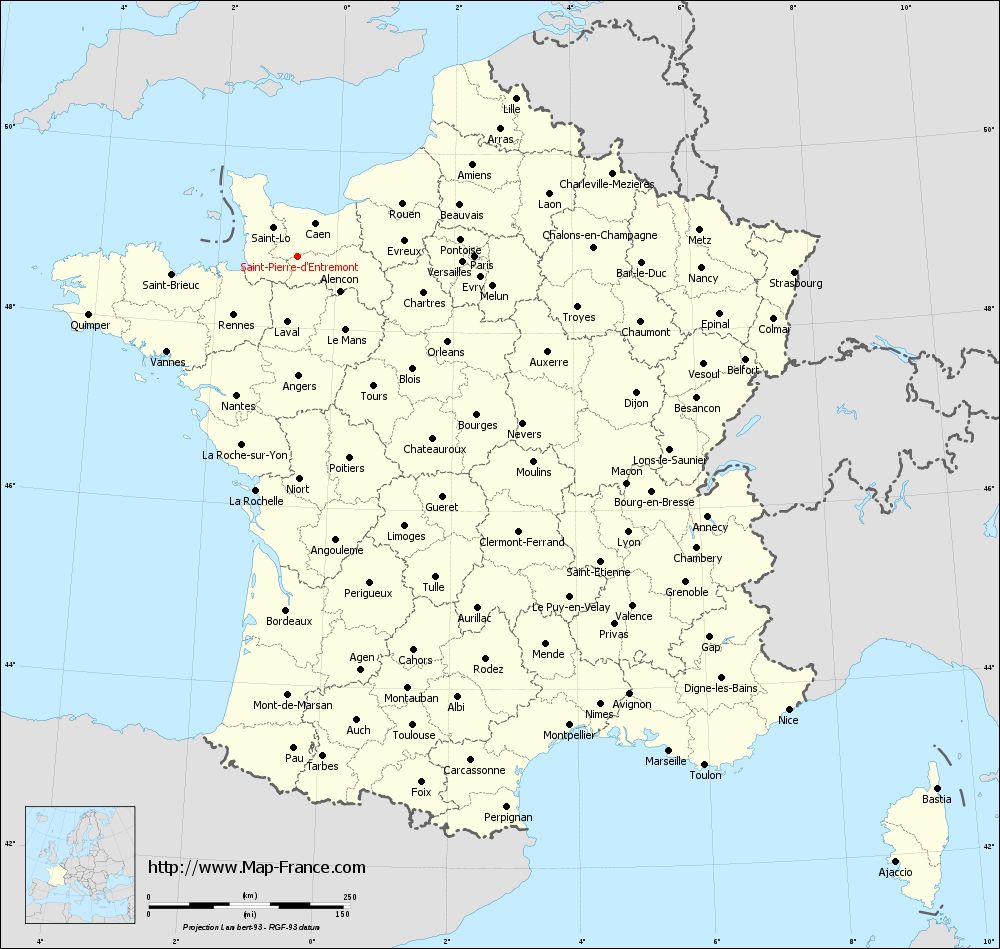
Map of Saint-Pierre-d'Entremont with regions and prefectures
|
View the map of Saint-Pierre-d'Entremont in full screen (1000 x 949)
|
You will find the location of Saint-Pierre-d'Entremont on the map of France of regions in Lambert 93 coordinates. The town of Saint-Pierre-d'Entremont is located in the department of Orne of the french region Basse-Normandie.
Geographical sexagesimal coordinates / GPS (WGS84):
Latitude: 48° 48' 35'' North
Longitude: 00° 38' 57'' West
Geographical decimal coordinates :
Latitude: 48.811 degrees (48.811° North)
Longitude: -0.649 degrees (0.649° West)
Lambert 93 coordinates :
X: 4 321 hectometers
Y: 68 628 hectometers
Lambert 2 coordinates :
X: 3 806 hectometers
Y: 24 277 hectometers
Below, the geographical coordinates of Alençon, prefecture of the Orne department:
Geographical sexagesimal coordinates / GPS (WGS84):
Latitude: 48° 25' 47'' North
Longitude: 00° 05' 31'' East
Geographical decimal coordinates :
Latitude: 48.433 degrees (48.433° North)
Longitude: 0.089 degrees (0.089° East)
Lambert 93 coordinates :
X: 4 849 hectometers
Y: 68 183 hectometers
Lambert 2 coordinates :
X: 4 339 hectometers
Y: 23 836 hectometers
|
This map of Saint-Pierre-d'Entremont is reusable and modifiable by making a link to this page of the Map-France.com website or by using the given code :
|
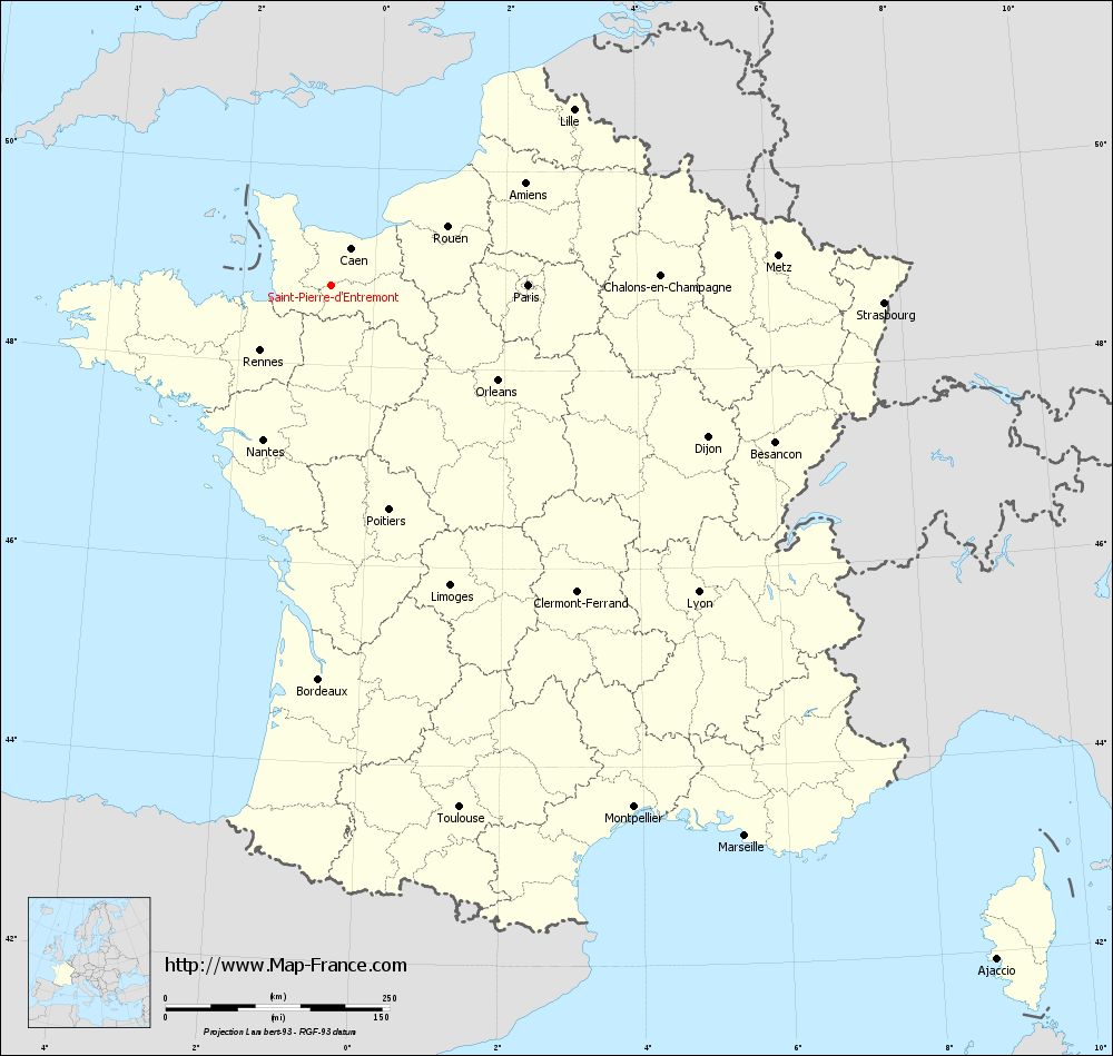
Map of Saint-Pierre-d'Entremont with departments and prefectures
|
Voir la carte of Saint-Pierre-d'Entremont en grand format (1000 x 949)
|
Here is the localization of Saint-Pierre-d'Entremont on the France map of departments in Lambert 93 coordinates. The city of Saint-Pierre-d'Entremont is shown on the map by a red point.
The town of Saint-Pierre-d'Entremont is located in the department of Orne of the french region Basse-Normandie.
The latitude of Saint-Pierre-d'Entremont is 48.811 degrees North.
The longitude of Saint-Pierre-d'Entremont is 0.649 degrees West.
Here the distance between Saint-Pierre-d'Entremont and the biggest cities of France:
Distances are calculated as the crow flies (orthodromic distance)
Distance between Saint-Pierre-d'Entremont and Paris : 219.04 kilometers
Distance between Saint-Pierre-d'Entremont and Marseille : 769.33 kilometers
Distance between Saint-Pierre-d'Entremont and Lyon : 534.27 kilometers
Distance between Saint-Pierre-d'Entremont and Toulouse : 600.94 kilometers
Distance between Saint-Pierre-d'Entremont and Nice : 830.43 kilometers
Distance between Saint-Pierre-d'Entremont and Nantes : 189.18 kilometers
Distance between Saint-Pierre-d'Entremont and Strasbourg : 616.53 kilometers
Distance between Saint-Pierre-d'Entremont and Montpellier : 674.21 kilometers
Distance between Saint-Pierre-d'Entremont and Bordeaux : 440.85 kilometers
Distance between Saint-Pierre-d'Entremont and Lille : 333.35 kilometers
Distance between Saint-Pierre-d'Entremont and Rennes : 108.97 kilometers
Distance between Saint-Pierre-d'Entremont and Reims : 344.45 kilometers
Clic here to see the map of Saint-Pierre-d'Entremont in full screen:
Saint-Pierre-d%27Entremont on the map of french departments
|
This administrative map of Saint-Pierre-d'Entremont is reusable and modifiable by making a link to this page of the Map-France.com website or by using the given code :
|
Administrative base maps of Saint-Pierre-d'Entremont
|

See the administrative base map of Saint-Pierre-d'Entremont in full screen (1000 x 949)
|
Small administrative base map of Saint-Pierre-d'Entremont
|
This base map administrative of Saint-Pierre-d'Entremont is reusable and modifiable by making a link to this page of the Map-France.com website or by using the given code :
|
 French Version : http://www.cartesfrance.fr