|
|
|
|
|
|
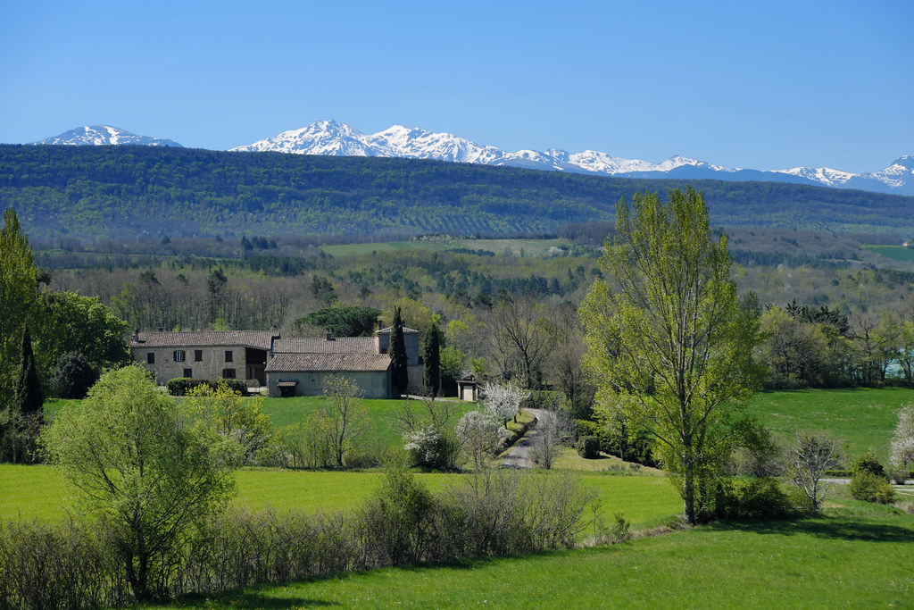
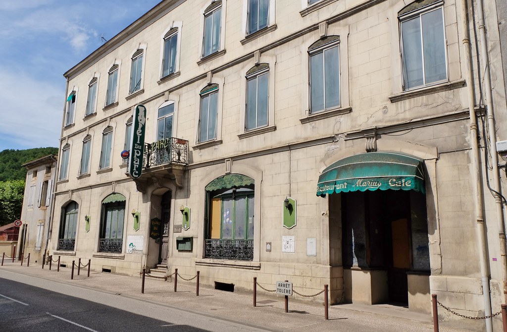
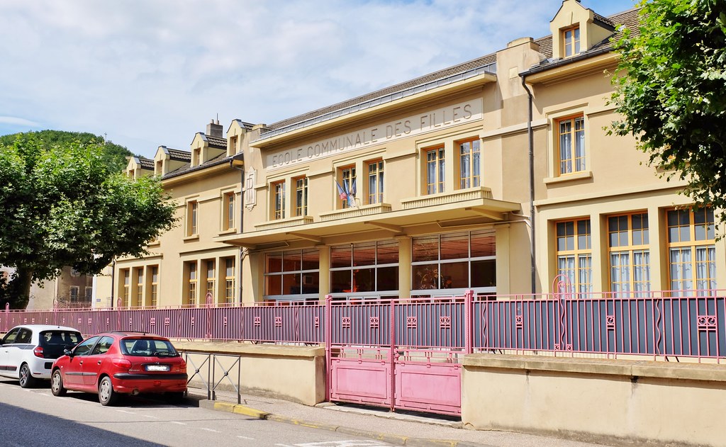
Sainte-Colombe-sur-l'Hers pictures
|
|
|
|
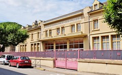
Photos of the town of Sainte-Colombe-sur-l'Hers
|
These photos taken near the town of Sainte-Colombe-sur-l'Hers can be shown in full screen clicking on the thumbnails. Photos are copyrighted by their owners.
| | |

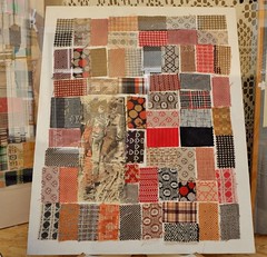
Complicité , complicity
|

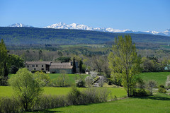
Lac de Puivert
|
| |

La Fontaine de Fontestorbes
|
Campagne dans le pays d-Olmes
|
| |
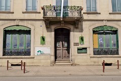
Lavelanet, Ariege
|

Lavelanet, Ariege
|
| |
Lavelanet, Ariege
|
Lavelanet, Ariege
|
| |
Paire de lacs
|
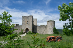
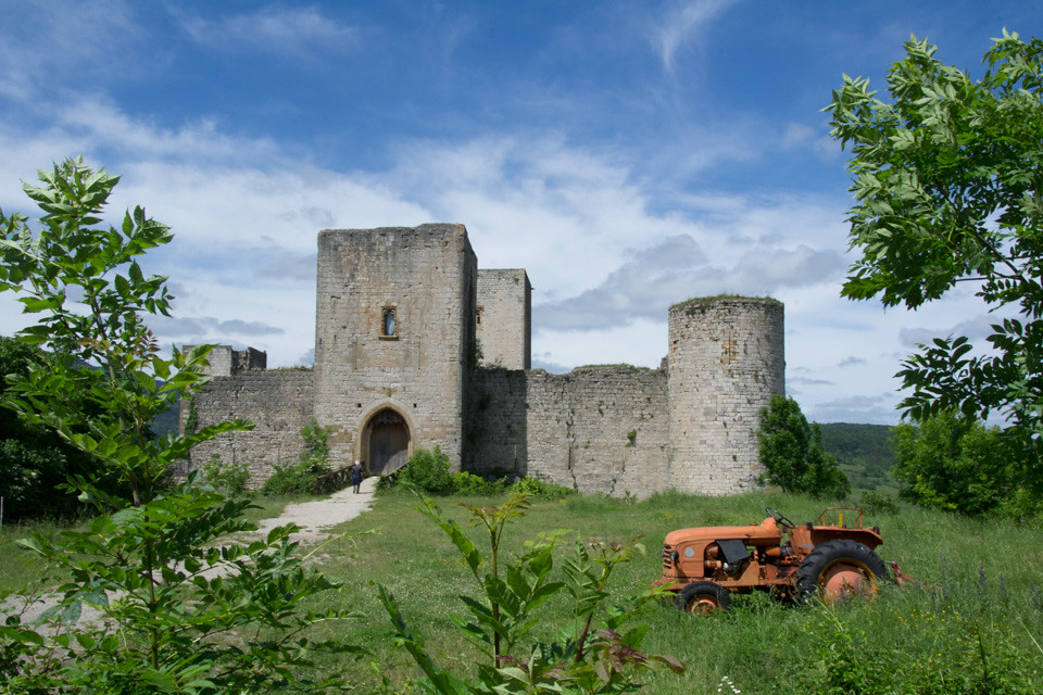
Château de Puivert
|
| |

FR11 3596 St-Quentin-la-Tour, Ariège
|
FR11 3597 St-Quentin-la-Tour, Ariège
|
| |
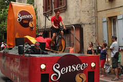
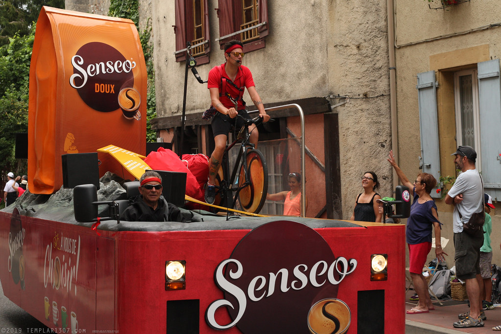
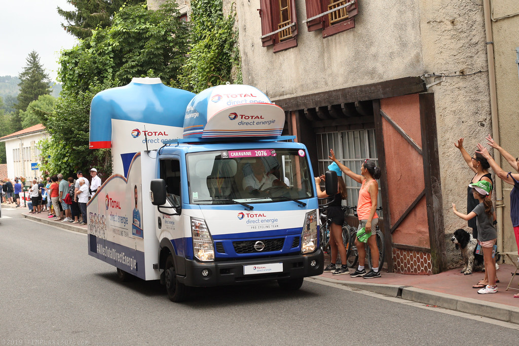
FR19 5671 Le Tour de France, stage 15. Bélesta, Ariège
|

FR19 5675 Le Tour de France, stage 15. Bélesta, Ariège
|
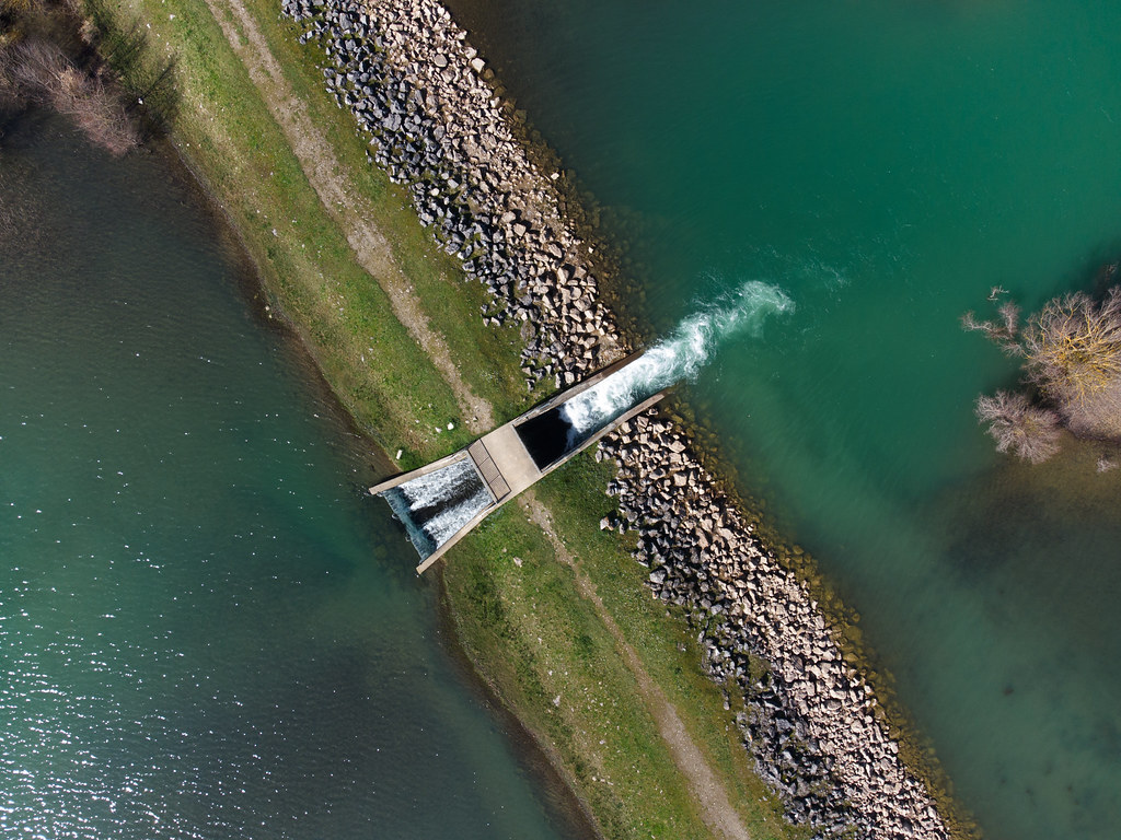
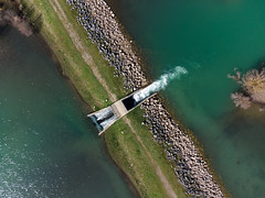
Sainte-Colombe-sur-l'Hers from the sky
|
|
Old photos of the town of Sainte-Colombe-sur-l'Hers
|
These photos taken near the town of Sainte-Colombe-sur-l'Hers can be shown in full screen clicking on the thumbnails. Photos are copyrighted by their owners.
|
|
Other maps, hotels and towns in france
Find another town, zip code, department, region, ...
Quick links Sainte-Colombe-sur-l'Hers :
Back to the menus Map of France :
Make a link to this page of Sainte-Colombe-sur-l'Hers with the following code :
|
|
Map of France | Regions | Departments | Cities | Partners | Terms | Contact
|