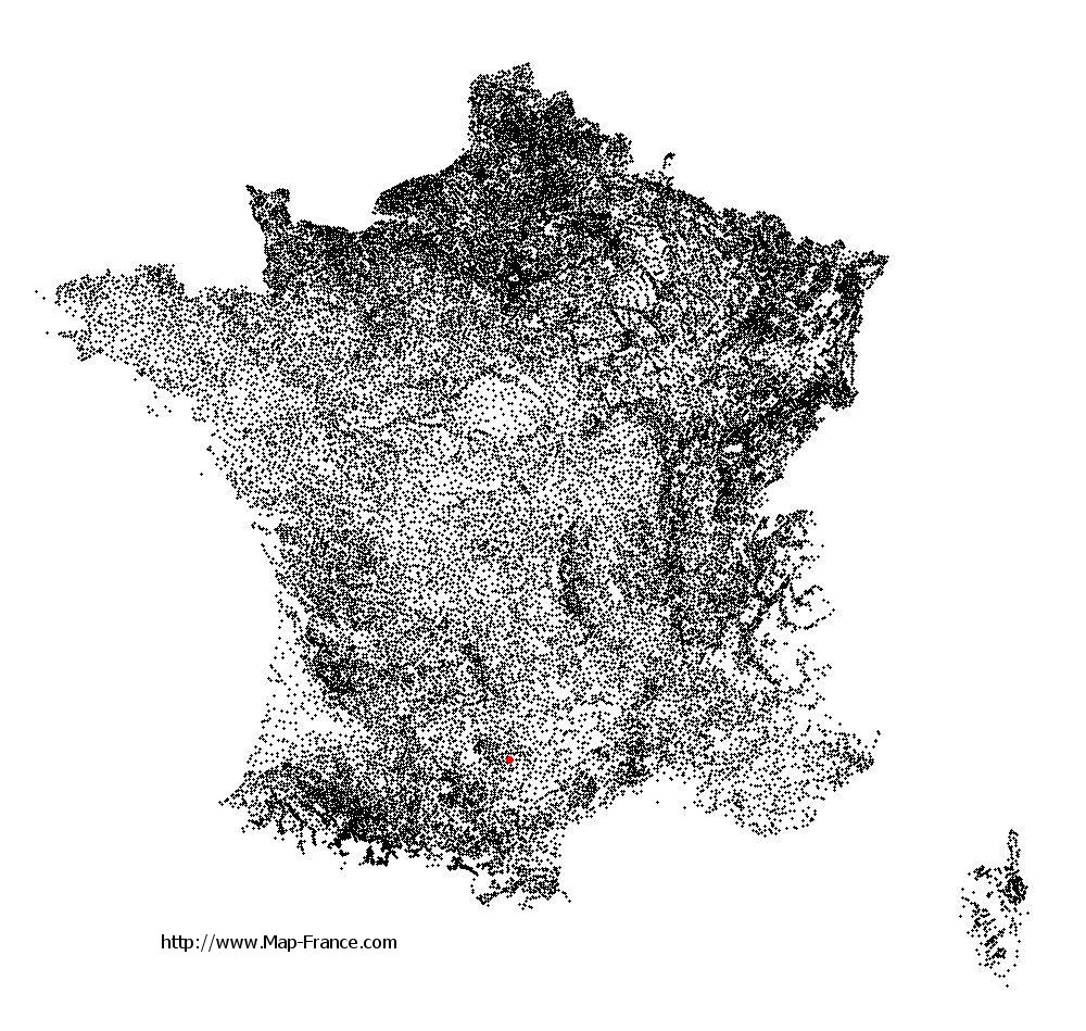
Villefranche-d'Albigeois on the relief France map in Lambert 93 coordinates
|
See the map of Villefranche-d'Albigeois in full screen (1000 x 949)
|
At left, here is the location of Villefranche-d'Albigeois on the relief France map in Lambert 93 coordinates.
Here are the altitudes of Villefranche-d'Albigeois :
- Town hall altitude of Villefranche-d'Albigeois is 420 meters
- Minimum altitude of Villefranche-d'Albigeois is 183 meters
- Maximum altitude of Villefranche-d'Albigeois is 526 meters
- Medium altitude of Villefranche-d'Albigeois is 355 meters
Here are the altitudes of Albi, prefecture of Tarn department:
- Town hall altitude of Albi is 174 meters
- Minimum altitude of Albi is 130 meters
- Maximum altitude of Albi is 308 meters
- Medium altitude of Albi is 219 meters
Here are the altitudes of the french biggest cities:
Paris : 33 meters
Marseille : 20 meters
Lyon : 237 meters
Toulouse : 146 meters
Nice : 10 meters
Nantes : 20 meters
Strasbourg : 144 meters
Montpellier : 35 meters
Bordeaux : 16 meters
Lille : 20 meters
Rennes : 35 meters
Reims : 83 meters
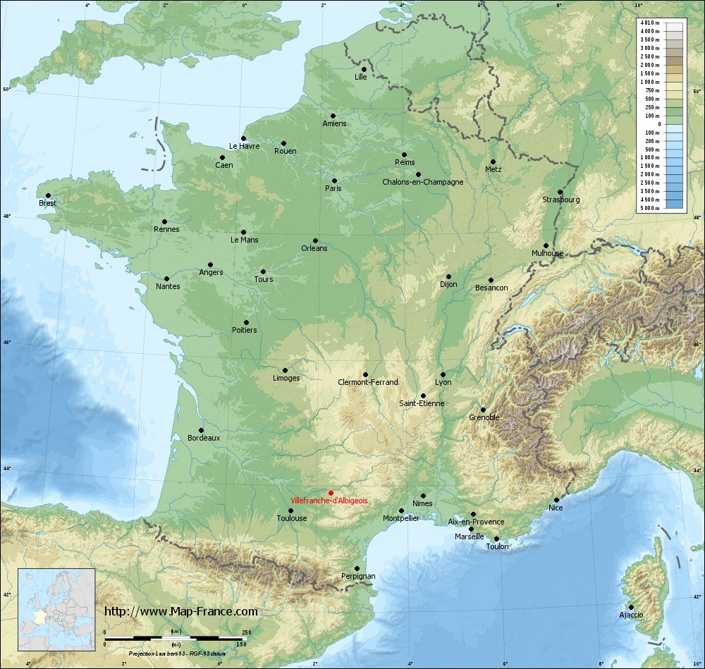
Click here for the terrain map of Villefranche-d'Albigeois in full screen:
Relief map of Villefranche-d%27Albigeois
|
This relief map of Villefranche-d'Albigeois is reusable and modifiable by making a link to this page of the Map-France.com website or by using the given code :
|
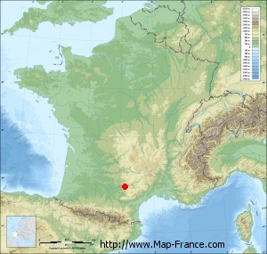
Terrain base map of Villefranche-d'Albigeois
|

See the terrain base map of Villefranche-d'Albigeois in full screen (1000 x 949)
|
Small relief base map of Villefranche-d'Albigeois
|
This base map of Villefranche-d'Albigeois is reusable and modifiable by making a link to this page of the Map-France.com website or by using the given code :
|
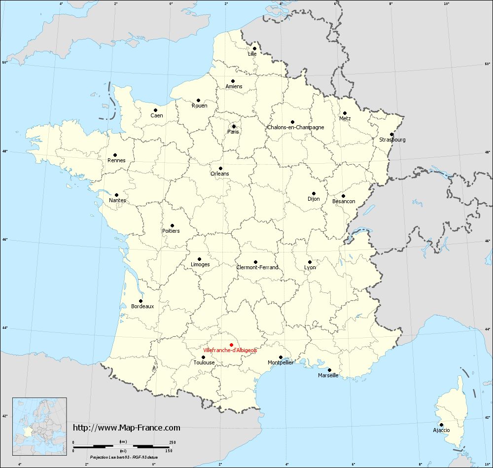
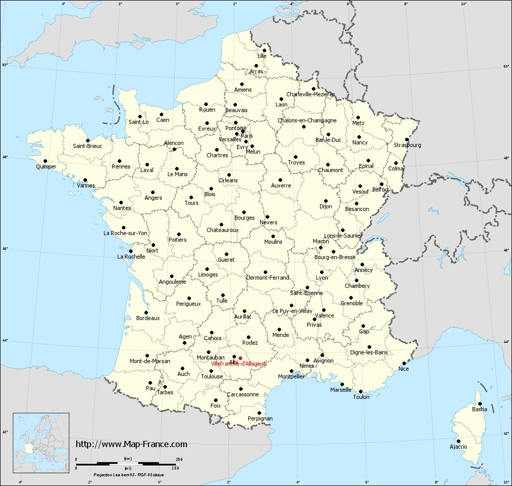
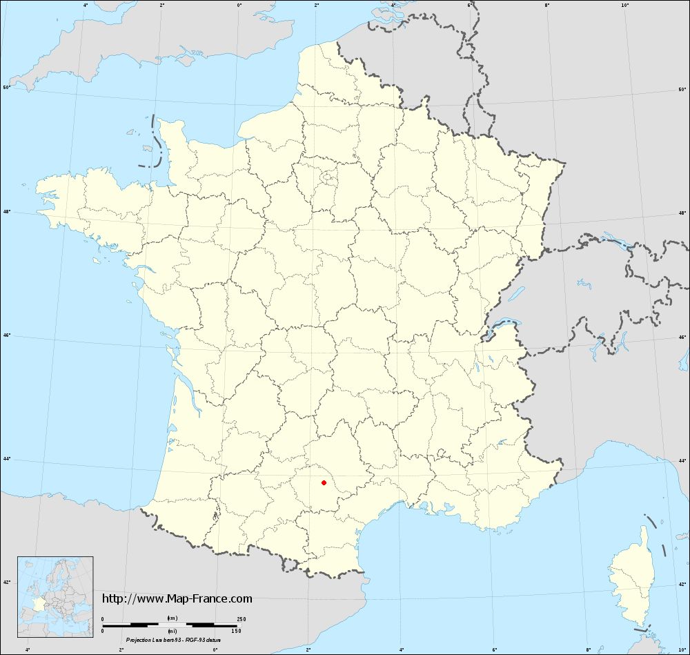
Map of Villefranche-d'Albigeois with regions and prefectures
|
View the map of Villefranche-d'Albigeois in full screen (1000 x 949)
|
You will find the location of Villefranche-d'Albigeois on the map of France of regions in Lambert 93 coordinates. The town of Villefranche-d'Albigeois is located in the department of Tarn of the french region Midi-Pyrénées.
Geographical sexagesimal coordinates / GPS (WGS84):
Latitude: 43° 53' 49'' North
Longitude: 02° 19' 48'' East
Geographical decimal coordinates :
Latitude: 43.896 degrees (43.896° North)
Longitude: 2.33 degrees (2.33° East)
Lambert 93 coordinates :
X: 6 462 hectometers
Y: 63 111 hectometers
Lambert 2 coordinates :
X: 5 995 hectometers
Y: 18 773 hectometers
Below, the geographical coordinates of Albi, prefecture of the Tarn department:
Geographical sexagesimal coordinates / GPS (WGS84):
Latitude: 43° 55' 41'' North
Longitude: 02° 08' 45'' East
Geographical decimal coordinates :
Latitude: 43.928 degrees (43.928° North)
Longitude: 2.143 degrees (2.143° East)
Lambert 93 coordinates :
X: 6 314 hectometers
Y: 63 147 hectometers
Lambert 2 coordinates :
X: 5 847 hectometers
Y: 18 807 hectometers
|
This map of Villefranche-d'Albigeois is reusable and modifiable by making a link to this page of the Map-France.com website or by using the given code :
|
Map of Villefranche-d'Albigeois with departments and prefectures
|
Voir la carte of Villefranche-d'Albigeois en grand format (1000 x 949)
|
Here is the localization of Villefranche-d'Albigeois on the France map of departments in Lambert 93 coordinates. The city of Villefranche-d'Albigeois is shown on the map by a red point.
The town of Villefranche-d'Albigeois is located in the department of Tarn of the french region Midi-Pyrénées.
The latitude of Villefranche-d'Albigeois is 43.896 degrees North.
The longitude of Villefranche-d'Albigeois is 2.33 degrees East.
Here the distance between Villefranche-d'Albigeois and the biggest cities of France:
Distances are calculated as the crow flies (orthodromic distance)
Distance between Villefranche-d'Albigeois and Paris : 551.58 kilometers
Distance between Villefranche-d'Albigeois and Marseille : 255.79 kilometers
Distance between Villefranche-d'Albigeois and Lyon : 286.03 kilometers
Distance between Villefranche-d'Albigeois and Toulouse : 77.88 kilometers
Distance between Villefranche-d'Albigeois and Nice : 396.04 kilometers
Distance between Villefranche-d'Albigeois and Nantes : 476.92 kilometers
Distance between Villefranche-d'Albigeois and Strasbourg : 666.85 kilometers
Distance between Villefranche-d'Albigeois and Montpellier : 127.99 kilometers
Distance between Villefranche-d'Albigeois and Bordeaux : 253.53 kilometers
Distance between Villefranche-d'Albigeois and Lille : 749.87 kilometers
Distance between Villefranche-d'Albigeois and Rennes : 560.82 kilometers
Distance between Villefranche-d'Albigeois and Reims : 609.68 kilometers
Clic here to see the map of Villefranche-d'Albigeois in full screen:
Villefranche-d%27Albigeois on the map of french departments
|
This administrative map of Villefranche-d'Albigeois is reusable and modifiable by making a link to this page of the Map-France.com website or by using the given code :
|
Administrative base maps of Villefranche-d'Albigeois
|
See the administrative base map of Villefranche-d'Albigeois in full screen (1000 x 949)
|
Small administrative base map of Villefranche-d'Albigeois
|
This base map administrative of Villefranche-d'Albigeois is reusable and modifiable by making a link to this page of the Map-France.com website or by using the given code :
|
 French Version : http://www.cartesfrance.fr