|
|
|
|
|
|
Montmurat pictures
|
|
|
|
Photos of the town of Montmurat
|
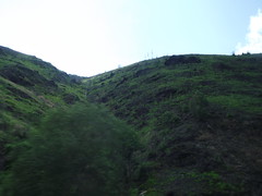
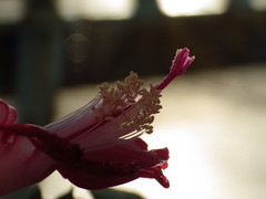
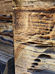
These photos taken near the town of Montmurat can be shown in full screen clicking on the thumbnails. Photos are copyrighted by their owners.
| | |
Bagnac-sur-Célé, Lot, France
|

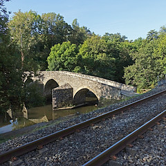
Lunan, Lot, France
|
| |

Lunan, Lot, France
|

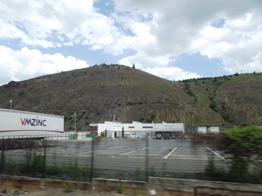
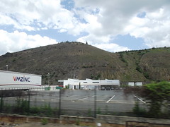
Decazeville, Aveyron, France
|
| |

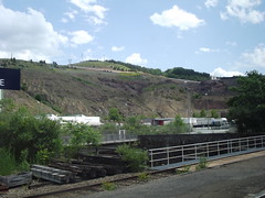
Decazeville, Aveyron, France
|

Decazeville, Aveyron, France
|
| |

Bagnac-sur-Célé, Lot, France
|
201206_0059
|
| |
201206_0060
|
201206_0062
|
| |
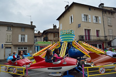
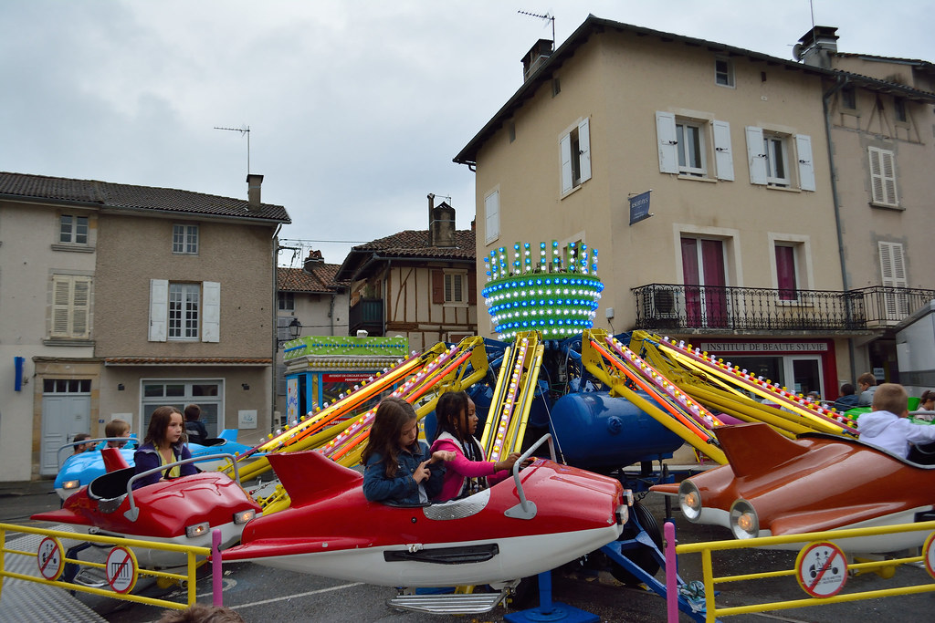
Fun faire in Maurs, France
|
Jail
|
| |

Monsieur le Duc
|
Le temps et ses armes
|
|
Old photos of the town of Montmurat
|
These photos taken near the town of Montmurat can be shown in full screen clicking on the thumbnails. Photos are copyrighted by their owners.
|
|
Other maps, hotels and towns in france
Find another town, zip code, department, region, ...
Quick links Montmurat :
Back to the menus Map of France :
Make a link to this page of Montmurat with the following code :
|
|
Map of France | Regions | Departments | Cities | Partners | Terms | Contact
|