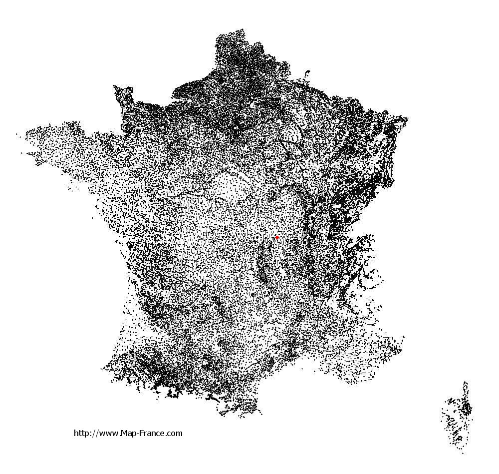
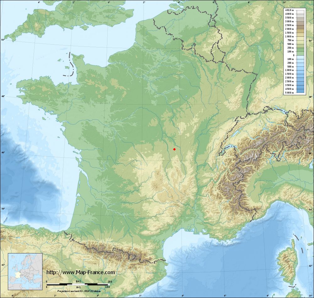
Saint-Léon on the relief France map in Lambert 93 coordinates
|

See the map of Saint-Léon in full screen (1000 x 949)
|
At left, here is the location of Saint-Léon on the relief France map in Lambert 93 coordinates.
Here are the altitudes of Saint-Léon :
- Town hall altitude of Saint-Léon is 380 meters
- Minimum altitude of Saint-Léon is 245 meters
- Maximum altitude of Saint-Léon is 436 meters
- Medium altitude of Saint-Léon is 341 meters
Here are the altitudes of Moulins, prefecture of Allier department:
- Town hall altitude of Moulins is 219 meters
- Minimum altitude of Moulins is 202 meters
- Maximum altitude of Moulins is 240 meters
- Medium altitude of Moulins is 221 meters
Here are the altitudes of the french biggest cities:
Paris : 33 meters
Marseille : 20 meters
Lyon : 237 meters
Toulouse : 146 meters
Nice : 10 meters
Nantes : 20 meters
Strasbourg : 144 meters
Montpellier : 35 meters
Bordeaux : 16 meters
Lille : 20 meters
Rennes : 35 meters
Reims : 83 meters
Click here for the terrain map of Saint-Léon in full screen:
Relief map of Saint-Léon
|
This relief map of Saint-Léon is reusable and modifiable by making a link to this page of the Map-France.com website or by using the given code :
|
Terrain base map of Saint-Léon
|
See the terrain base map of Saint-Léon in full screen (1000 x 949)
|
Small relief base map of Saint-Léon

|
This base map of Saint-Léon is reusable and modifiable by making a link to this page of the Map-France.com website or by using the given code :
|
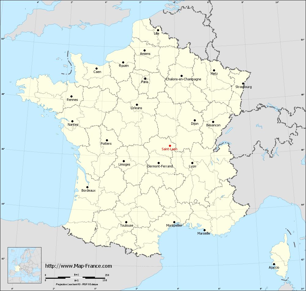
Map of Saint-Léon with regions and prefectures
|
View the map of Saint-Léon in full screen (1000 x 949)
|
You will find the location of Saint-Léon on the map of France of regions in Lambert 93 coordinates. The town of Saint-Léon is located in the department of Allier of the french region Auvergne.
Geographical sexagesimal coordinates / GPS (WGS84):
Latitude: 46° 24' 09'' North
Longitude: 03° 41' 12'' East
Geographical decimal coordinates :
Latitude: 46.403 degrees (46.403° North)
Longitude: 3.688 degrees (3.688° East)
Lambert 93 coordinates :
X: 7 528 hectometers
Y: 65 894 hectometers
Lambert 2 coordinates :
X: 7 038 hectometers
Y: 21 567 hectometers
Below, the geographical coordinates of Moulins, prefecture of the Allier department:
Geographical sexagesimal coordinates / GPS (WGS84):
Latitude: 46° 33' 53'' North
Longitude: 03° 19' 57'' East
Geographical decimal coordinates :
Latitude: 46.568 degrees (46.568° North)
Longitude: 3.335 degrees (3.335° East)
Lambert 93 coordinates :
X: 7 255 hectometers
Y: 66 072 hectometers
Lambert 2 coordinates :
X: 6 763 hectometers
Y: 21 743 hectometers
|
This map of Saint-Léon is reusable and modifiable by making a link to this page of the Map-France.com website or by using the given code :
|
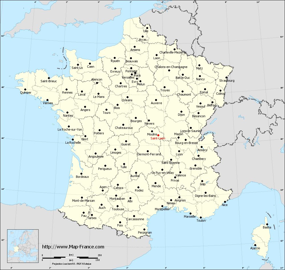
Map of Saint-Léon with departments and prefectures
|
Voir la carte of Saint-Léon en grand format (1000 x 949)
|
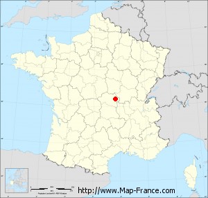
Here is the localization of Saint-Léon on the France map of departments in Lambert 93 coordinates. The city of Saint-Léon is shown on the map by a red point.
The town of Saint-Léon is located in the department of Allier of the french region Auvergne.
The latitude of Saint-Léon is 46.403 degrees North.
The longitude of Saint-Léon is 3.688 degrees East.
Here the distance between Saint-Léon and the biggest cities of France:
Distances are calculated as the crow flies (orthodromic distance)
Distance between Saint-Léon and Paris : 290.99 kilometers
Distance between Saint-Léon and Marseille : 370.4 kilometers
Distance between Saint-Léon and Lyon : 113.63 kilometers
Distance between Saint-Léon and Toulouse : 357.57 kilometers
Distance between Saint-Léon and Nice : 410.36 kilometers
Distance between Saint-Léon and Nantes : 408.71 kilometers
Distance between Saint-Léon and Strasbourg : 389.79 kilometers
Distance between Saint-Léon and Montpellier : 310.76 kilometers
Distance between Saint-Léon and Bordeaux : 373.78 kilometers
Distance between Saint-Léon and Lille : 471.83 kilometers
Distance between Saint-Léon and Rennes : 446.83 kilometers
Distance between Saint-Léon and Reims : 318.27 kilometers
Clic here to see the map of Saint-Léon in full screen:
Saint-Léon on the map of french departments
|
This administrative map of Saint-Léon is reusable and modifiable by making a link to this page of the Map-France.com website or by using the given code :
|
Administrative base maps of Saint-Léon
|

See the administrative base map of Saint-Léon in full screen (1000 x 949)
|
Small administrative base map of Saint-Léon
|
This base map administrative of Saint-Léon is reusable and modifiable by making a link to this page of the Map-France.com website or by using the given code :
|
 French Version : http://www.cartesfrance.fr