|
The village of Aigné is a small french village located north west of France. The town of Aigné is located in the department of Sarthe of the french region Pays de la Loire. The town of Aigné is located in the township of Le Mans-Nord-Ouest part of the district of Le Mans. The area code for Aigné is 72001 (also known as code INSEE), and the Aigné zip code is 72650.
Geography and map of Aigné :
The altitude of the city hall of Aigné is approximately 70 meters. The Aigné surface is 12.59 km ². The latitude and longitude of Aigné are 48.066 degrees North and 0.119 degrees East.
Nearby cities and towns of Aigné are :
La Milesse (72650) at 1.01 km, Saint-Saturnin (72650) at 2.49 km, Degré (72550) at 4.05 km, Lavardin (72240) at 4.32 km, Trangé (72650) at 4.37 km, La Bazoge (72650) at 4.74 km, La Chapelle-Saint-Aubin (72650) at 4.78 km, Neuville-sur-Sarthe (72190) at 5.43 km.
(The distances to these nearby towns of Aigné are calculated as the crow flies)
Population and housing of Aigné :
The population of Aigné was 1 349 in 1999, 1 525 in 2006 and 1 528 in 2007. The population density of Aigné is 121.37 inhabitants per km². The number of housing of Aigné was 555 in 2007. These homes of Aigné consist of 522 main residences, 11 second or occasional homes and 22 vacant homes. |
|
|
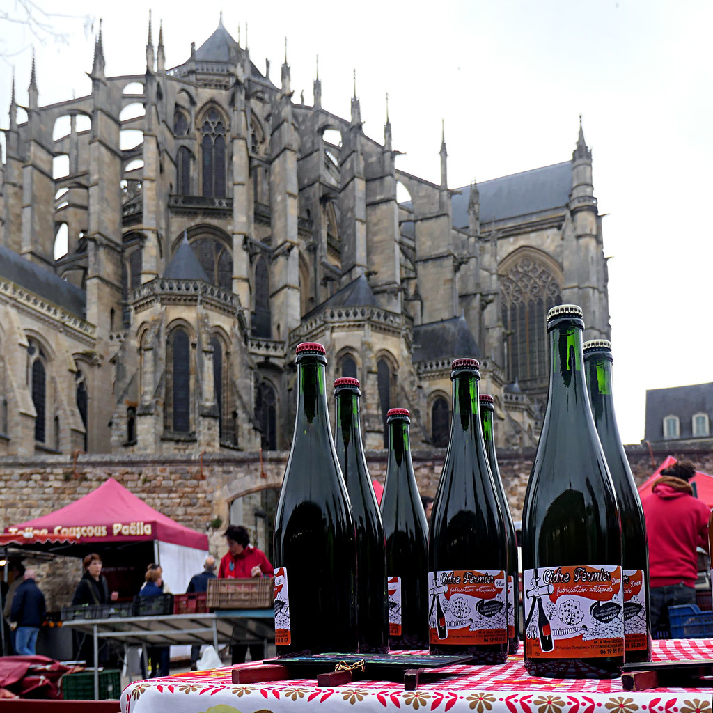
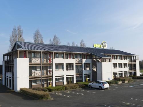
Hotel Aigné
|
|
|
Book now ! Best Price Guaranteed, no booking fees, pay at the hotel with our partner Booking.com, leader in online hotel reservation.
Find all hotels of Aigné : Hotel Aigné
| |
|
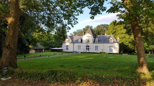
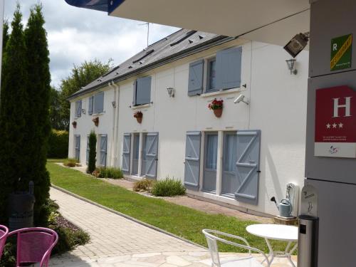
Hotel : Domaine De Chatenay - Le Mans

Set in a large park, the characterful Domaine De Chatenay is a former 18th-century private house midway between Paris and the Atlantic Ocean, at the foot of medieval Le Mans. F...
Rate : from 72.00 €
to 135.00 €
Address : 97, route du Mans, La Milesse 72650 Saint-Saturnin
Distance Hotel - Aigné : 2.73 km
|
|
|
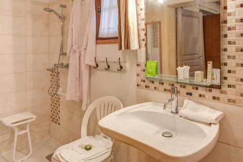
Hotel : Hôtel des 4 continents - Le Mans
Offering a sun terrace and views of the garden, Hôtel des 4 continents Le Mans is situated in Saint-Saturnin. All rooms at this property are decorated in a different theme. Cer...
Price : from 85.00 €
to 112.00 €
Contact : 97 route du Mans, La Milesse 72650 Saint-Saturnin
Distance Hotel - Aigné : 2.73 km
|
|
|
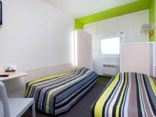
Hotel : hotelF1 Le Mans Nord
Hotelf1 Le Mans Nord offers accommodation in La Chapelle-Saint-Aubin, a 20-minute drive from Bugatti Circuit. Free WiFi and free private parking are provided. All rooms comes ...
Prices : from 26.75 €
to 34.24 €
Contact : Lotissement Le Grand Tertre 72650 La Chapelle-Saint-Aubin
Distance Hotel - Aigné : 3.69 km
|
|
|
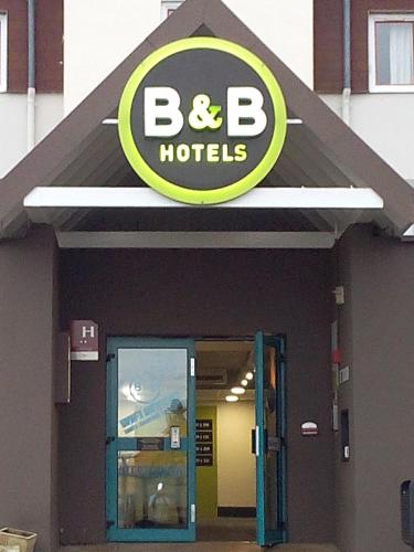
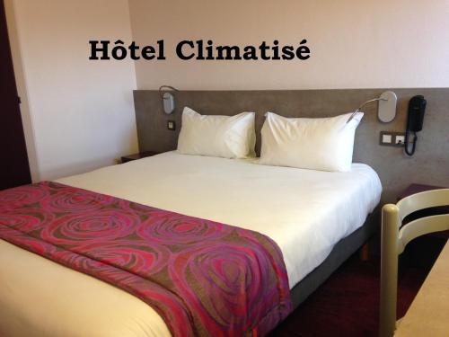
Hotel : B&B Hôtel LE MANS Nord 1
B&B Hôtel LE MANS Nord 1 is offering accommodation in Saint-Saturnin. This 2-star hotel offers free WiFi. The property offers a 24-hour front desk. At the hotel, every room has...
Rate : from 52.00 €
to 71.00 €
Contact : 3 rue Joseph Caillaux 72650 Saint-Saturnin
Distance Hotel - Aigné : 3.72 km
|
|
|
Hotel : Fasthotel Le Mans
Located just outside of Le Mans, Fasthotel Le Mans offers easy access to the A11, A28 and A81 motorways and the local shopping area, cinemas, supermarkets, shops and thematic re...
Price : from 42.00 €
to 46.60 €
Address : Louis Chappee Za Le Grand Tertre 72650 Saint-Saturnin
Distance Hotel - Aigné : 3.77 km
|
|
|
Hotel : Hotel The Originals Le Mans Nord Alizéa (ex Inter-Hotel)
Hotel The Originals Le Mans Nord Alizéa is located in the countryside just 10 minutes from the city centre of Le Mans, a town famous for its 24-hour car race. Accomodation at t...
Prices : from 58.65 €
to 127.00 €
Contact : Boulevard de Maule 72650 Saint-Saturnin
Distance Hotel - Aigné : 3.78 km
|
|
|
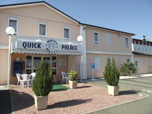
Hotel : Quick Palace Le Mans
Quick Palace Le Mans offers spacious, low-cost rooms with free Wi-Fi access. It is located in Saint Saturnin, with a 10-minute drive from Le Mans city centre. Each soundproofed...
Rate : from 40.00 €
to 44.00 €
Contact : Sortie N°7 Le Mans Nord - ZAC Les Grues Rouges 72650 Saint-Saturnin
Distance Hotel - Aigné : 3.78 km
|
|
|
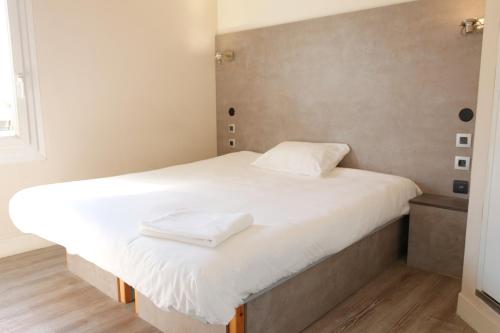
Hotel : B&B Hôtel LE MANS Nord 2
B&B Hôtel LE MANS Nord 2 features free WiFi and rooms with air conditioning in Saint-Saturnin. All rooms boast a flat-screen TV with cable channels and a private bathroom. At t...
Price : from 50.00 €
to 111.20 €
Contact : 8 Rue Joseph Caillaux 72650 Saint-Saturnin
Distance Hotel - Aigné : 3.83 km
|
|
|
Hotel : Brit Hôtel Les Evens
The 3-star Brit Hotel Les Evens is located in the countryside with direct access to the A11 motorway. It is ideal for a stopover or a short stay in the area. The hotel offers c...
Prices : from 65.00 €
to 130.00 €
Address : Rue Louis Chappee, ZA Les Grues Rouges 72650 Saint-Saturnin
Distance Hotel - Aigné : 3.90 km
|
|
|
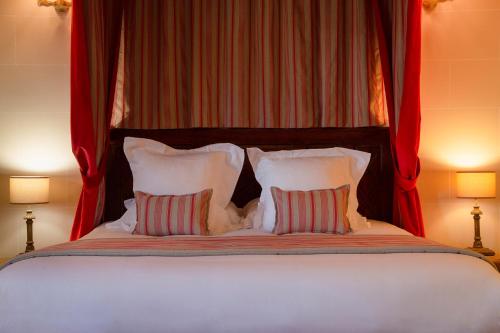
Hotel : Hotel The Originals Domaine de La Groirie - Hôtel & Séminaires (ex Relais du Silence)
Boasting a sun terrace with a swimming pool, as well as a garden, Hotel The Originals Domaine de La Groirie - Hôtel & Séminaires (ex Relais du Silence) is situated in Trangé. Fr...
Rate : from 116.10 €
to 369.00 €
Contact : La Groirie 72650 Trangé
Distance Hotel - Aigné : 4.10 km
|
|
Find another hotel near Aigné : Aigné hotels list
|
Map of Aigné
|
|
Map of Aigné :
At right you can find the localization of Aigné on the map of France. Below, this is the satellite map of Aigné. A road map, and maps templates of Aigné are available here : "road map of Aigné". This map show Aigné seen by the satellite of Google Map. To see the streets of Aigné or move on another zone, use the buttons "zoom" and "map" on top of this dynamic map.
Search on the map of Aigné :
To search hotels, housings, tourist information office, administrations or other services, use the Google search integrated to the map on the following page : "map Aigné".
Hotels of Aigné are listed on the map with the following icons: 
The map of Aigné is centred in the following coordinates :
|

|
|
|
|
Print the map of Aigné

Print the map of Aigné : map of Aigné
|
Photos Aigné
|
See all photos of Aigné :
Other photos of Aigné and nearby towns can be found here: photos Aigné
|
|
Aigné weather forecast
Find next hours and 7 days weather forecast for Aigné here : weather Aigné (with english metrics)
This is the last weather forecast for Aigné collected by the nearest observation station of Le Mans.
Week Forecast:
The latest weather data for Aigné were collected Saturday, 01 August 2026 at 11:04 from the nearest observation station of Le Mans.
| Saturday, August 1st |
27°C 13°C
0%
32%
|
Mostly clear
Temperature Max: 27°C Temperature Min: 13°C
Precipitation Probability: 0%
Percentage of sky occluded by clouds: 32%
Wind speed: 8 km/h South
Humidity: 46%° UV Index: 7
Sunrise: 06:35 Sunset: 21:35 |
|
| | Sunday, August 2nd |
30°C 14°C
0%
49%
|
Partly cloudy
Temperature Max: 30°C Temperature Min: 14°C
Precipitation Probability: 0%
Percentage of sky occluded by clouds: 49%
Wind speed: 10 km/h West
Humidity: 46%° UV Index: 6
Sunrise: 06:36 Sunset: 21:33 |
|
| | Monday, August 3rd |
32°C 18°C
29%
77%
|
Mostly cloudy
Temperature Max: 32°C Temperature Min: 18°C
Precipitation Probability: 29% (Rain)
Percentage of sky occluded by clouds: 77%
Wind speed: 11 km/h North
Humidity: 46%° UV Index: 5
Sunrise: 06:38 Sunset: 21:32 |
|
| | Tuesday, August 4th |
29°C 17°C
38%
52%
|
Drizzle
Temperature Max: 29°C Temperature Min: 17°C
Precipitation Probability: 38% (Rain)
Percentage of sky occluded by clouds: 52%
Wind speed: 16 km/h North-East
Humidity: 58%° UV Index: 5
Sunrise: 06:39 Sunset: 21:30 |
|
|
Attribution: 
|
|
Other maps, hotels and towns in france
Find another town, zip code, department, region, ...
Quick links Aigné :
Make a link to this page of Aigné with the following code :
|
|
|
 French Version : http://www.cartesfrance.fr/carte-france-ville/72001_Aigne.html