|
The village of Airel is a small village located north west of France. The town of Airel is located in the department of Manche of the french region Basse-Normandie. The town of Airel is located in the township of Saint-Clair-sur-l'Elle part of the district of Saint-Lô. The area code for Airel is 50004 (also known as code INSEE), and the Airel zip code is 50680.
Geography and map of Airel :
The altitude of the city hall of Airel is approximately 5 meters. The Airel surface is 10.17 km ². The latitude and longitude of Airel are 49.224 degrees North and 1.081 degrees West.
Nearby cities and towns of Airel are :
Saint-Fromond (50620) at 1.65 km, Moon-sur-Elle (50680) at 3.13 km, Lison (14330) at 3.67 km, Cavigny (50620) at 3.95 km, Saint-Jean-de-Daye (50880) at 4.02 km, Sainte-Marguerite-d'Elle (14330) at 4.71 km, Saint-Clair-sur-l'Elle (50680) at 5.13 km, Neuilly-la-Forêt (14230) at 5.36 km.
(The distances to these nearby towns of Airel are calculated as the crow flies)
Population and housing of Airel :
The population of Airel was 485 in 1999, 511 in 2006 and 515 in 2007. The population density of Airel is 50.64 inhabitants per km². The number of housing of Airel was 257 in 2007. These homes of Airel consist of 209 main residences, 23 second or occasional homes and 25 vacant homes. |
|
|
Hotel Airel
|
|
|
Book now ! Best Price Guaranteed, no booking fees, pay at the hotel with our partner Booking.com, leader in online hotel reservation.
Find all hotels of Airel : Hotel Airel
| |
|
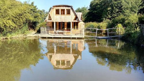
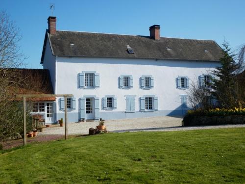
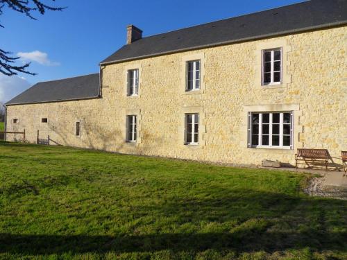
Guest accommodation : Cabanes de moon
Situated in Moon-sur-Elle in the Lower Normandy region, Cabanes de moon has a terrace and lake views. This lodge offers barbecue facilities. With direct access to a patio, this...
Address : La pisciculture 3 le rouge douai 50680 Moon-sur-Elle
Distance Guest accommodation - Airel : 2.28 km
|
|
|
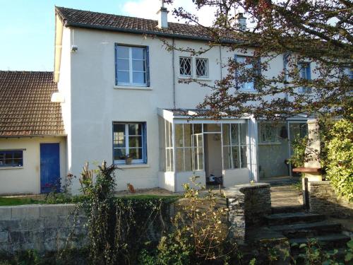
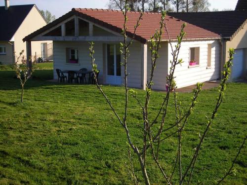
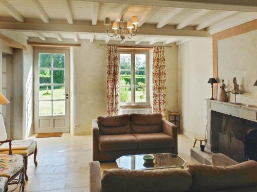
Guest accommodation : Moon Cottage

Situated in Moon-sur-Elle in the Lower Normandy region, Moon Cottage is a 3-star property boasting free WiFi. Guests staying at this holiday home have access to a patio. The 3-...
Contact : 4 Rue Du Moulin 50680 Moon-sur-Elle
Distance Guest accommodation - Airel : 3.06 km
|
|
|
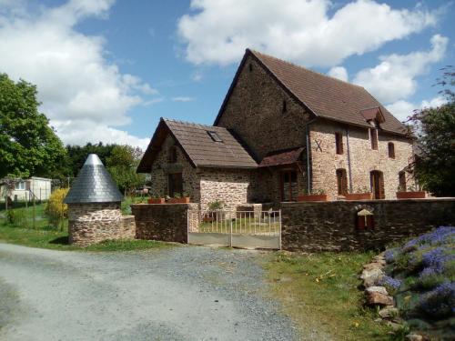
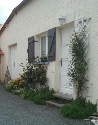
Bed and Breakfast : La Chapelle Chambres D'Hôtes
La Chapelle is located in the countryside of Moon-sur-Elle. You can relax on the terrace and enjoy the garden. Free WiFi access is available. The rooms feature a garden view, a...
Contact : 2 Le Mesnil Vitey 50680 Moon-sur-Elle
Distance Bed and Breakfast - Airel : 4.41 km
|
|
|
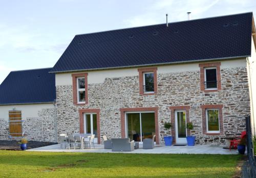
Guest accommodation : La ferme de la Baconnerie

Offering a barbecue and views of the garden, La ferme de la Baconnerie is set in Sainte-Marguerite-d’Elle in the Lower Normandy Region, 23 km from the D-Day landing beaches and ...
Rate : from 190.00 €
to 265.00 €
Contact : 1A rue de l'Eglise 14330 Sainte-Marguerite-dʼElle
Distance Guest accommodation - Airel : 4.62 km
|
|
|
Guest accommodation : Gite De Blagny
Gite De Blagny is situated in Saint-Clair-sur-lʼElle. Guests staying at this holiday home have access to a fully equipped kitchen. The holiday home has a flat-screen TV and 4 b...
Address : 2 Village Blagny 50680 Saint-Clair-sur-lʼElle
Distance Guest accommodation - Airel : 4.91 km
|
|
|
Guest accommodation : Le Relais De La Chaussee
Situated in Neuilly-la-Forêt, this holiday home features a terrace and a garden with a barbecue and a sun terrace. The property features views of the garden and is 29 km from Ba...
Contact : LA CHAUSSEE 14230 Neuilly-la-Forêt
Distance Guest accommodation - Airel : 5.37 km
|
|

|
Guest accommodation : Holiday home Le Dezert with a Fireplace 415
Located in Le Dézert in the Lower Normandy region, Holiday home Le Dezert with a Fireplace 415 is a 3-star property boasting free WiFi. Guests staying at this holiday home have ...
Contact : 50620 Le Dézert
Distance Guest accommodation - Airel : 5.56 km
|
|
|
Guest accommodation : La Coletterie
Offering free WiFi and garden views, La Coletterie is an accommodation set in Castilly. Guests staying at this holiday home have access to a fully equipped kitchen. The holiday...
Contact : La Coletterie 14330 Castilly
Distance Guest accommodation - Airel : 6.15 km
|
|
|
Guest accommodation : Entre Ciel et Marais
Entre Ciel et Marais is located in Graignes. This holiday home offers accommodation with a patio. The holiday home features 2 bedrooms and a fully fitted kitchen with an oven. ...
Address : Le Hameau Huault 50620 Graignes
Distance Guest accommodation - Airel : 7.12 km
|
|
|
Guest accommodation : Ferme Familiale avec court de tennis
Ferme Familiale avec court de tennis is set in Castilly and offers barbecue facilities. Guests staying at this villa have access to a fully equipped kitchen. Bayeux is 34 km fr...
Rate : from 379.90 €
to 445.40 €
Contact : Les Landes du Rosey 14330 Castilly
Distance Guest accommodation - Airel : 7.27 km
|
|
Find another hotel near Airel : Airel hotels list
|
Map of Airel
|
|
Map of Airel :
At right you can find the localization of Airel on the map of France. Below, this is the satellite map of Airel. A road map, and maps templates of Airel are available here : "road map of Airel". This map show Airel seen by the satellite of Google Map. To see the streets of Airel or move on another zone, use the buttons "zoom" and "map" on top of this dynamic map.
Search on the map of Airel :
To search hotels, housings, tourist information office, administrations or other services, use the Google search integrated to the map on the following page : "map Airel".
Hotels of Airel are listed on the map with the following icons: 
The map of Airel is centred in the following coordinates :
|

|
|
|
|
Print the map of Airel

Print the map of Airel : map of Airel
|
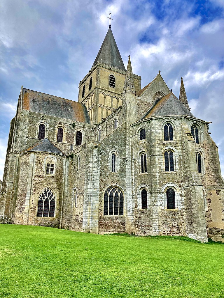
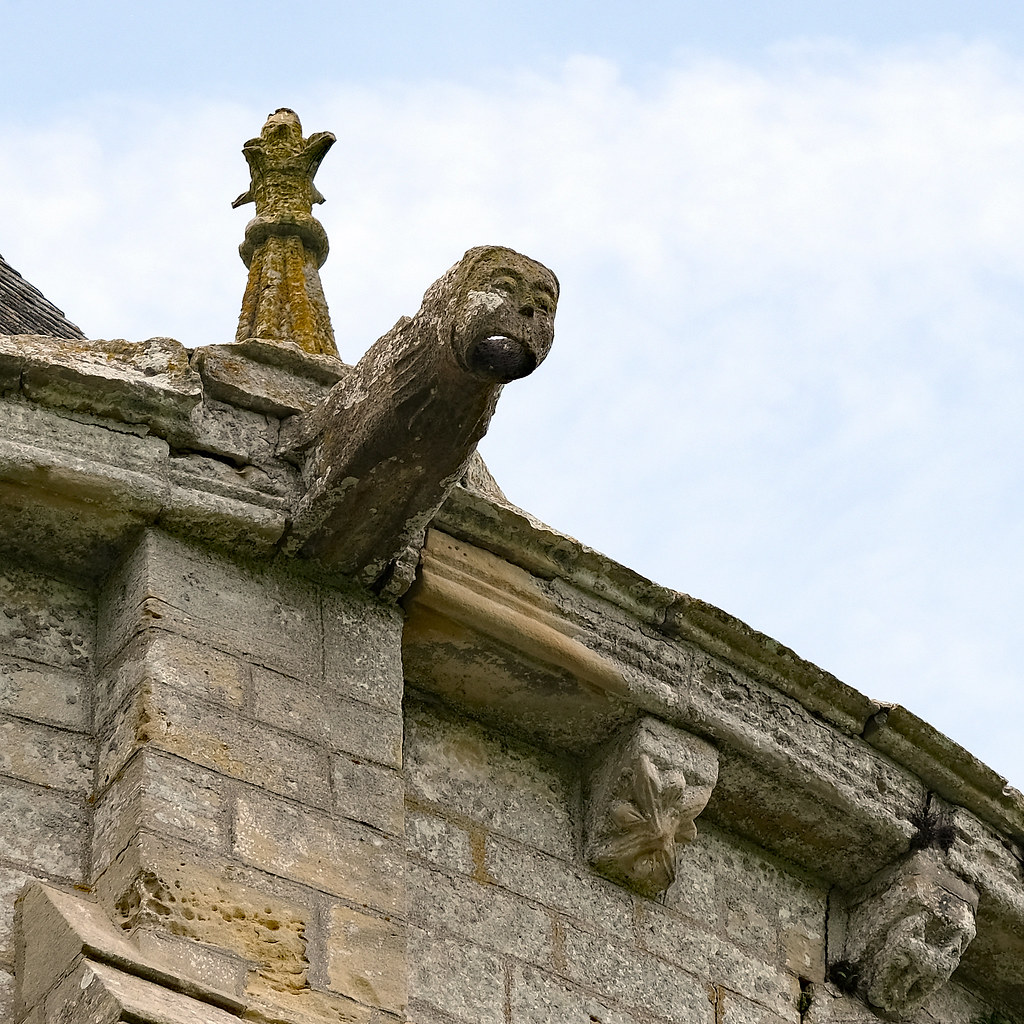
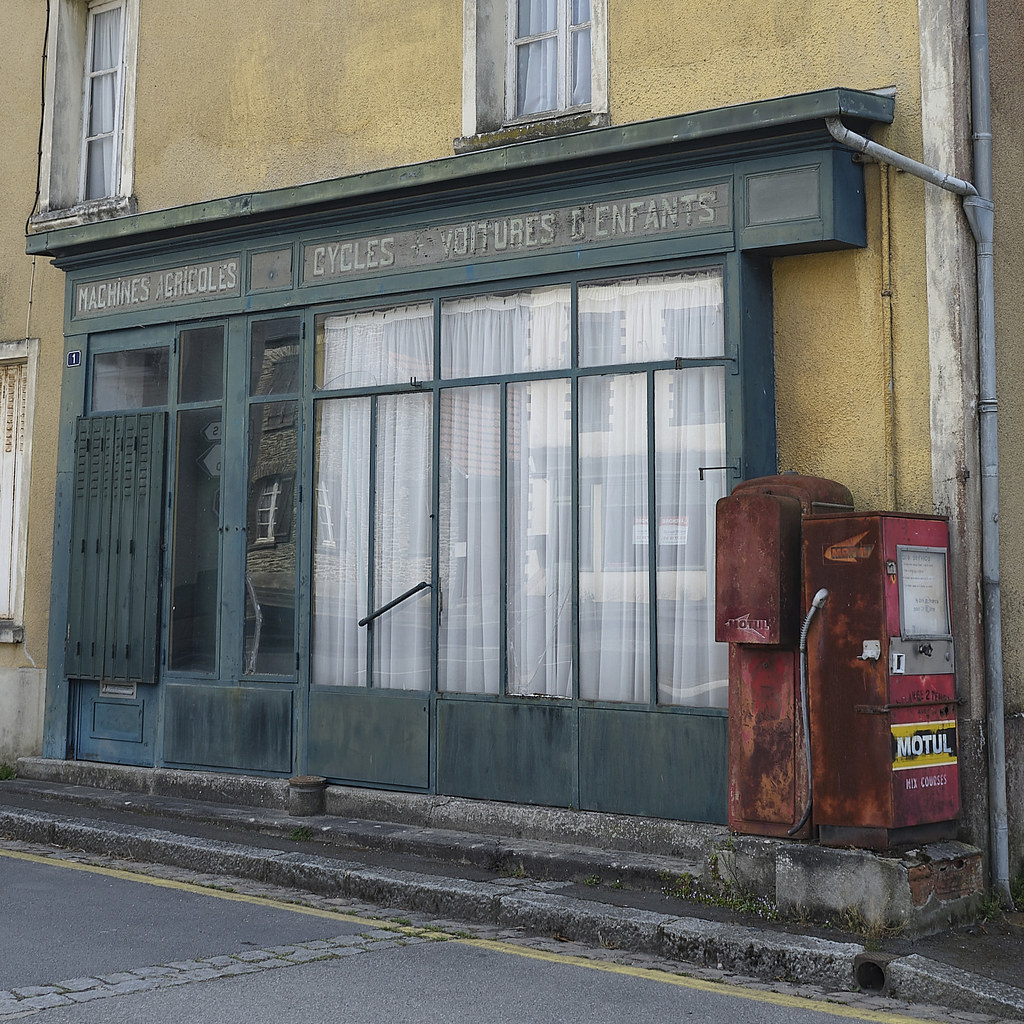
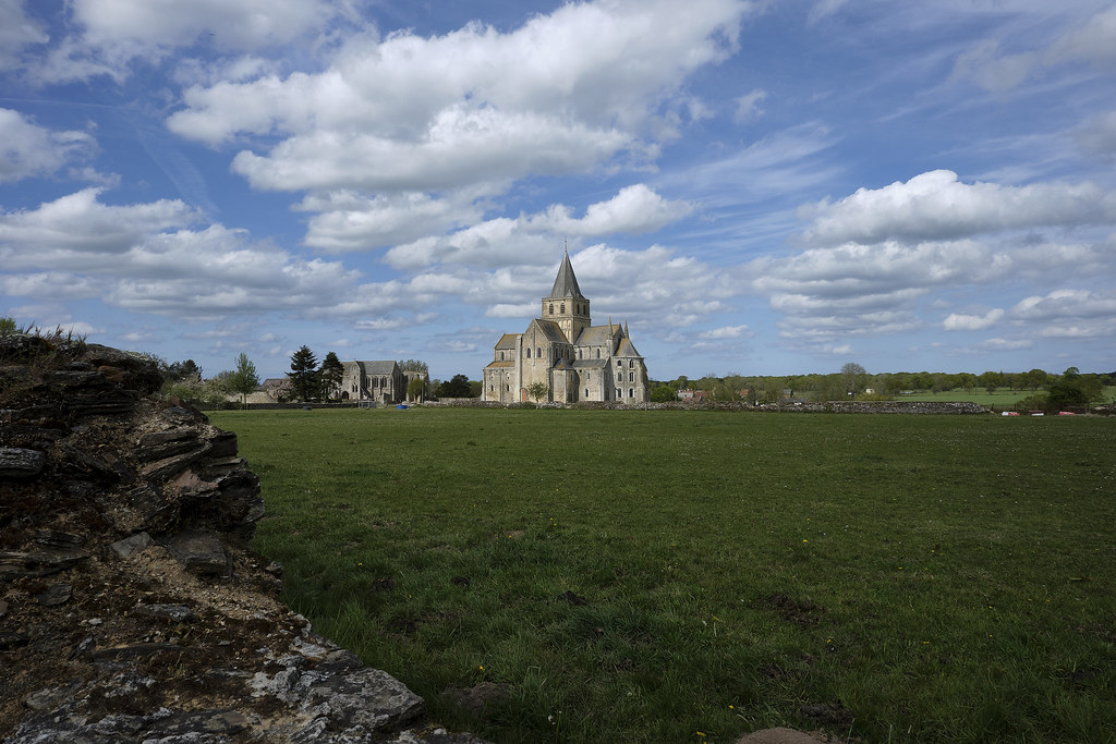
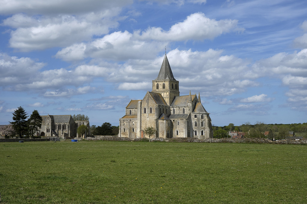
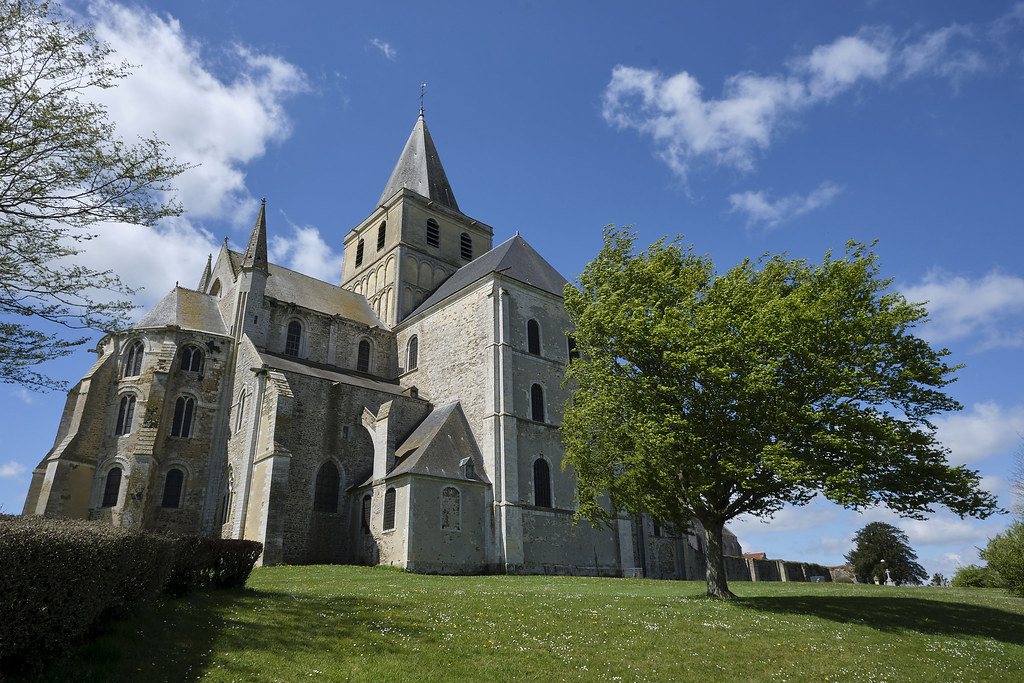
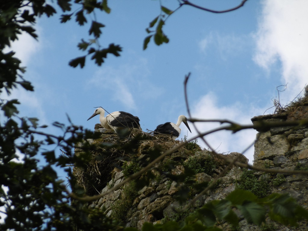
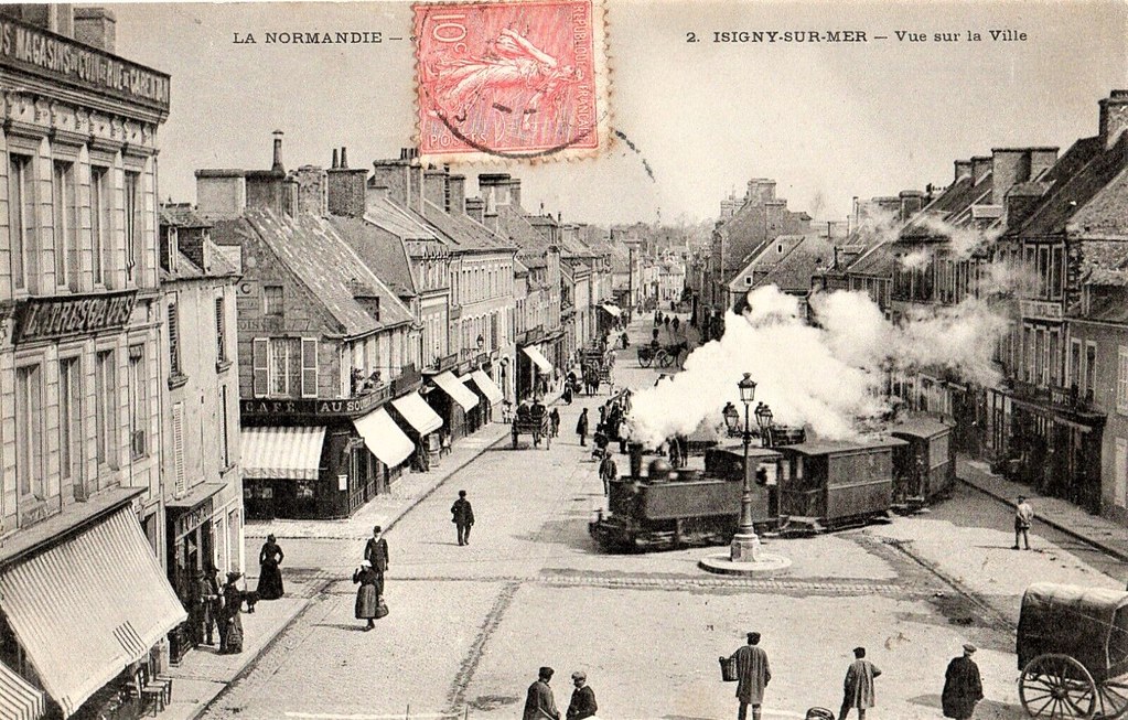
Photos Airel
|
See all photos of Airel :
Other photos of Airel and nearby towns can be found here: photos Airel
|
|
Airel weather forecast
Find next hours and 7 days weather forecast for Airel here : weather Airel (with english metrics)
This is the last weather forecast for Airel collected by the nearest observation station of Saint-Clair-sur-l'Elle.
Week Forecast:
The latest weather data for Airel were collected Saturday, 11 July 2026 at 15:03 from the nearest observation station of Saint-Clair-sur-l'Elle.
| Saturday, July 11th |
29°C 19°C
47%
15%
|
Mostly clear
Temperature Max: 29°C Temperature Min: 19°C
Precipitation Probability: 47%
Percentage of sky occluded by clouds: 15%
Wind speed: 22 km/h Sout-East
Humidity: 57%° UV Index: 7
Sunrise: 06:11 Sunset: 22:07 |
|
| | Sunday, July 12th |
30°C 19°C
26%
32%
|
Windy
Temperature Max: 30°C Temperature Min: 19°C
Precipitation Probability: 26%
Percentage of sky occluded by clouds: 32%
Wind speed: 26 km/h Sout-East
Humidity: 59%° UV Index: 7
Sunrise: 06:12 Sunset: 22:06 |
|
| | Monday, July 13th |
26°C 19°C
40%
72%
|
Drizzle
Temperature Max: 26°C Temperature Min: 19°C
Precipitation Probability: 40% (Rain)
Percentage of sky occluded by clouds: 72%
Wind speed: 27 km/h Sout-East
Humidity: 65%° UV Index: 5
Sunrise: 06:13 Sunset: 22:06 |
|
| | Tuesday, July 14th |
27°C 18°C
38%
86%
|
Thunderstorms
Temperature Max: 27°C Temperature Min: 18°C
Precipitation Probability: 38% (Rain)
Percentage of sky occluded by clouds: 86%
Wind speed: 22 km/h Sout-East
Humidity: 66%° UV Index: 4
Sunrise: 06:14 Sunset: 22:05 |
|
|
Attribution: 
|
|
Other maps, hotels and towns in france
Find another town, zip code, department, region, ...
Quick links Airel :
Make a link to this page of Airel with the following code :
|
|
|
 French Version : http://www.cartesfrance.fr/carte-france-ville/50004_Airel.html