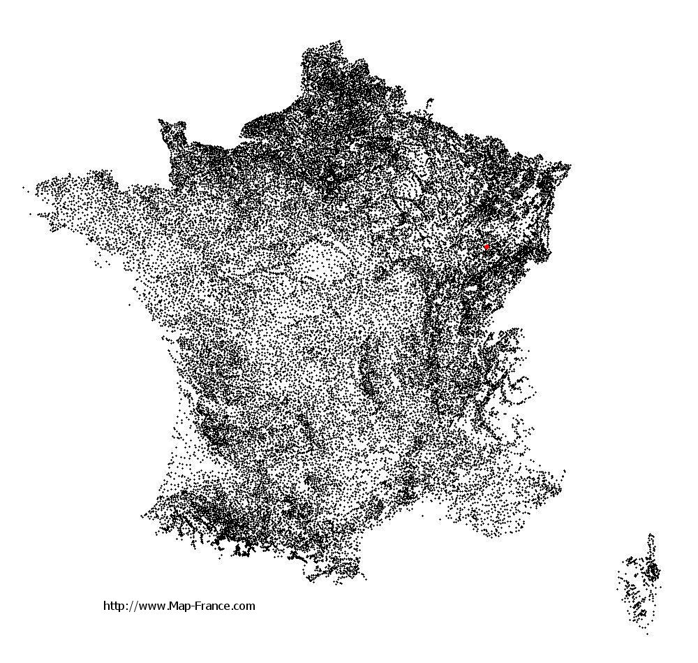
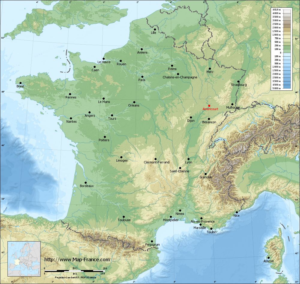
Amoncourt on the relief France map in Lambert 93 coordinates
|
See the map of Amoncourt in full screen (1000 x 949)
|
At left, here is the location of Amoncourt on the relief France map in Lambert 93 coordinates.
Here are the altitudes of Amoncourt :
- Town hall altitude of Amoncourt is 249 meters
- Minimum altitude of Amoncourt is 209 meters
- Maximum altitude of Amoncourt is 272 meters
- Medium altitude of Amoncourt is 241 meters
Here are the altitudes of Vesoul, prefecture of Haute-Saône department:
- Town hall altitude of Vesoul is 220 meters
- Minimum altitude of Vesoul is 213 meters
- Maximum altitude of Vesoul is 375 meters
- Medium altitude of Vesoul is 294 meters
Here are the altitudes of the french biggest cities:
Paris : 33 meters
Marseille : 20 meters
Lyon : 237 meters
Toulouse : 146 meters
Nice : 10 meters
Nantes : 20 meters
Strasbourg : 144 meters
Montpellier : 35 meters
Bordeaux : 16 meters
Lille : 20 meters
Rennes : 35 meters
Reims : 83 meters
Click here for the terrain map of Amoncourt in full screen:
Relief map of Amoncourt
|
This relief map of Amoncourt is reusable and modifiable by making a link to this page of the Map-France.com website or by using the given code :
|
Terrain base map of Amoncourt
|

See the terrain base map of Amoncourt in full screen (1000 x 949)
|
Small relief base map of Amoncourt

|
This base map of Amoncourt is reusable and modifiable by making a link to this page of the Map-France.com website or by using the given code :
|
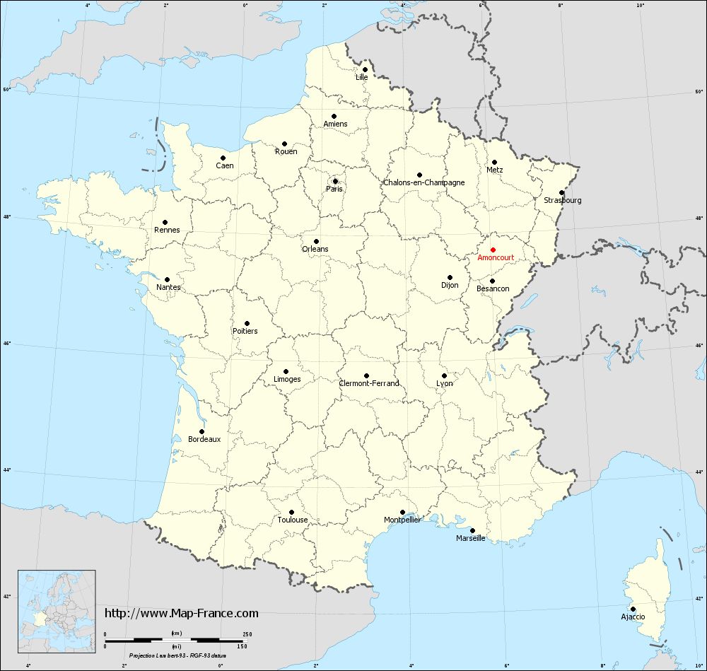
Map of Amoncourt with regions and prefectures
|
View the map of Amoncourt in full screen (1000 x 949)
|
You will find the location of Amoncourt on the map of France of regions in Lambert 93 coordinates. The town of Amoncourt is located in the department of Haute-Saône of the french region Franche-Comté.
Geographical sexagesimal coordinates / GPS (WGS84):
Latitude: 47° 44' 10'' North
Longitude: 06° 03' 47'' East
Geographical decimal coordinates :
Latitude: 47.736 degrees (47.736° North)
Longitude: 6.062 degrees (6.062° East)
Lambert 93 coordinates :
X: 9 295 hectometers
Y: 67 418 hectometers
Lambert 2 coordinates :
X: 8 794 hectometers
Y: 23 107 hectometers
Below, the geographical coordinates of Vesoul, prefecture of the Haute-Saône department:
Geographical sexagesimal coordinates / GPS (WGS84):
Latitude: 47° 37' 20'' North
Longitude: 06° 09' 19'' East
Geographical decimal coordinates :
Latitude: 47.621 degrees (47.621° North)
Longitude: 6.158 degrees (6.158° East)
Lambert 93 coordinates :
X: 9 369 hectometers
Y: 67 294 hectometers
Lambert 2 coordinates :
X: 8 869 hectometers
Y: 22 984 hectometers
|
This map of Amoncourt is reusable and modifiable by making a link to this page of the Map-France.com website or by using the given code :
|
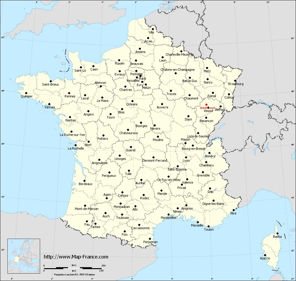
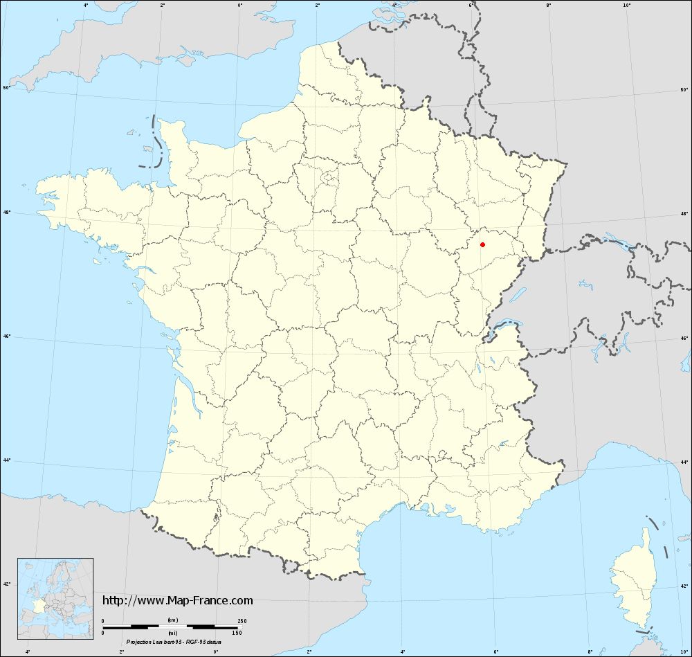
Map of Amoncourt with departments and prefectures
|
Voir la carte of Amoncourt en grand format (1000 x 949)
|
Here is the localization of Amoncourt on the France map of departments in Lambert 93 coordinates. The city of Amoncourt is shown on the map by a red point.
The town of Amoncourt is located in the department of Haute-Saône of the french region Franche-Comté.
The latitude of Amoncourt is 47.736 degrees North.
The longitude of Amoncourt is 6.062 degrees East.
Here the distance between Amoncourt and the biggest cities of France:
Distances are calculated as the crow flies (orthodromic distance)
Distance between Amoncourt and Paris : 301.78 kilometers
Distance between Amoncourt and Marseille : 495.79 kilometers
Distance between Amoncourt and Lyon : 238.58 kilometers
Distance between Amoncourt and Toulouse : 582.33 kilometers
Distance between Amoncourt and Nice : 457.25 kilometers
Distance between Amoncourt and Nantes : 574.59 kilometers
Distance between Amoncourt and Strasbourg : 156.98 kilometers
Distance between Amoncourt and Montpellier : 488.91 kilometers
Distance between Amoncourt and Bordeaux : 602.16 kilometers
Distance between Amoncourt and Lille : 388.92 kilometers
Distance between Amoncourt and Rennes : 577.74 kilometers
Distance between Amoncourt and Reims : 225.76 kilometers
Clic here to see the map of Amoncourt in full screen:
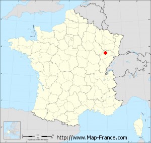
Amoncourt on the map of french departments
|
This administrative map of Amoncourt is reusable and modifiable by making a link to this page of the Map-France.com website or by using the given code :
|
Administrative base maps of Amoncourt
|
See the administrative base map of Amoncourt in full screen (1000 x 949)
|
Small administrative base map of Amoncourt
|
This base map administrative of Amoncourt is reusable and modifiable by making a link to this page of the Map-France.com website or by using the given code :
|
 French Version : http://www.cartesfrance.fr