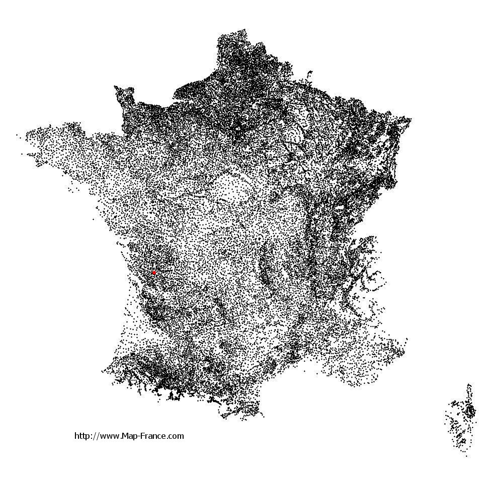
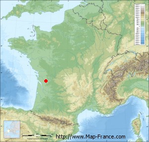
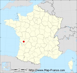
Angeac-Champagne on the relief France map in Lambert 93 coordinates
|

See the map of Angeac-Champagne in full screen (1000 x 949)
|
At left, here is the location of Angeac-Champagne on the relief France map in Lambert 93 coordinates.
Here are the altitudes of Angeac-Champagne :
- Town hall altitude of Angeac-Champagne is 70 meters
- Minimum altitude of Angeac-Champagne is 17 meters
- Maximum altitude of Angeac-Champagne is 83 meters
- Medium altitude of Angeac-Champagne is 50 meters
Here are the altitudes of Angoulême, prefecture of Charente department:
- Town hall altitude of Angoulême is 86 meters
- Minimum altitude of Angoulême is 25 meters
- Maximum altitude of Angoulême is 130 meters
- Medium altitude of Angoulême is 78 meters
Here are the altitudes of the french biggest cities:
Paris : 33 meters
Marseille : 20 meters
Lyon : 237 meters
Toulouse : 146 meters
Nice : 10 meters
Nantes : 20 meters
Strasbourg : 144 meters
Montpellier : 35 meters
Bordeaux : 16 meters
Lille : 20 meters
Rennes : 35 meters
Reims : 83 meters
Click here for the terrain map of Angeac-Champagne in full screen:
Relief map of Angeac-Champagne
|
This relief map of Angeac-Champagne is reusable and modifiable by making a link to this page of the Map-France.com website or by using the given code :
|
Terrain base map of Angeac-Champagne
|

See the terrain base map of Angeac-Champagne in full screen (1000 x 949)
|
Small relief base map of Angeac-Champagne
|
This base map of Angeac-Champagne is reusable and modifiable by making a link to this page of the Map-France.com website or by using the given code :
|
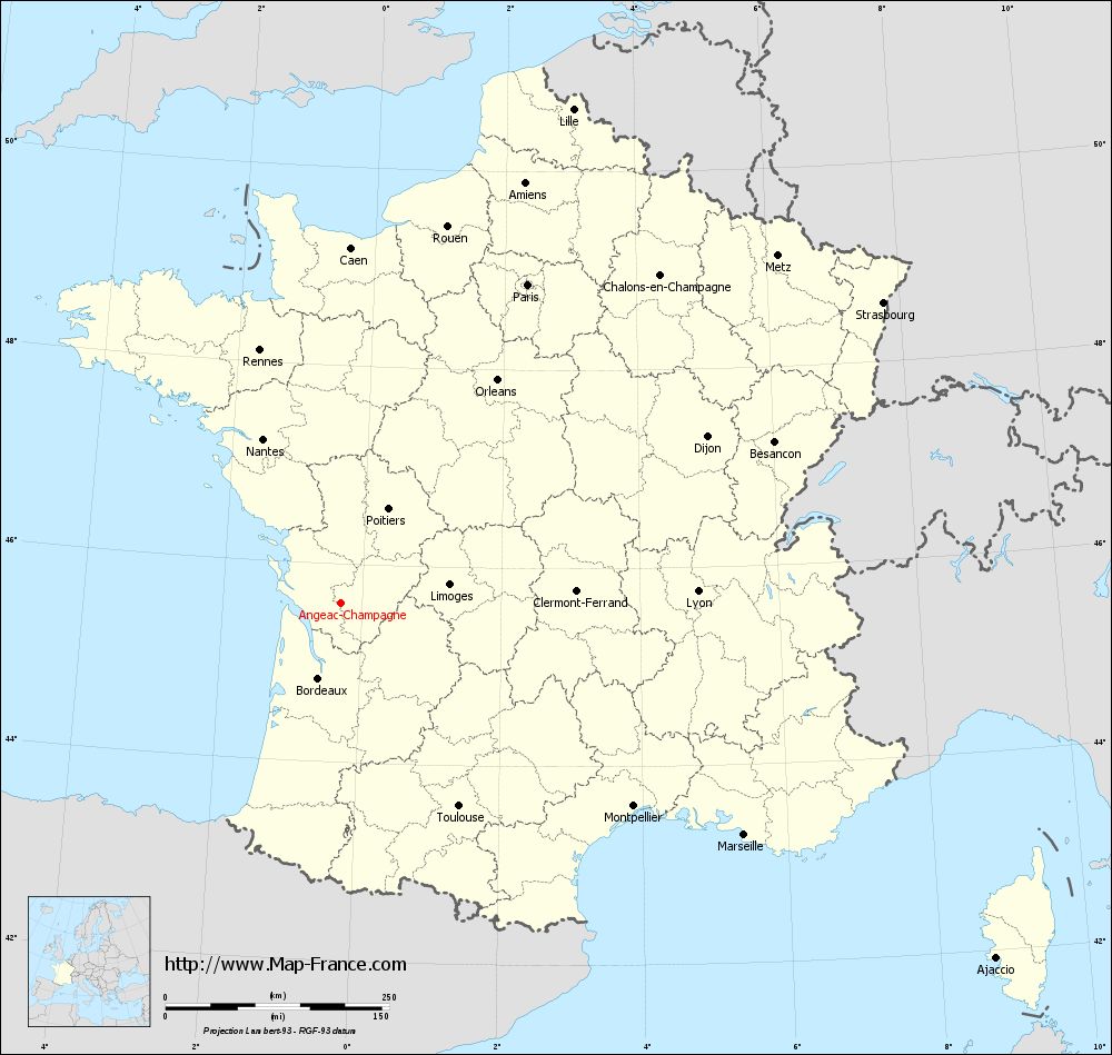
Map of Angeac-Champagne with regions and prefectures
|
View the map of Angeac-Champagne in full screen (1000 x 949)
|
You will find the location of Angeac-Champagne on the map of France of regions in Lambert 93 coordinates. The town of Angeac-Champagne is located in the department of Charente of the french region Poitou-Charentes.
Geographical sexagesimal coordinates / GPS (WGS84):
Latitude: 45° 36' 27'' North
Longitude: 00° 17' 51'' West
Geographical decimal coordinates :
Latitude: 45.609 degrees (45.609° North)
Longitude: -0.297 degrees (0.297° West)
Lambert 93 coordinates :
X: 4 431 hectometers
Y: 65 062 hectometers
Lambert 2 coordinates :
X: 3 945 hectometers
Y: 20 709 hectometers
Below, the geographical coordinates of Angoulême, prefecture of the Charente department:
Geographical sexagesimal coordinates / GPS (WGS84):
Latitude: 45° 38' 58'' North
Longitude: 00° 09' 34'' East
Geographical decimal coordinates :
Latitude: 45.653 degrees (45.653° North)
Longitude: 0.155 degrees (0.155° East)
Lambert 93 coordinates :
X: 4 788 hectometers
Y: 65 095 hectometers
Lambert 2 coordinates :
X: 4 303 hectometers
Y: 20 745 hectometers
|
This map of Angeac-Champagne is reusable and modifiable by making a link to this page of the Map-France.com website or by using the given code :
|
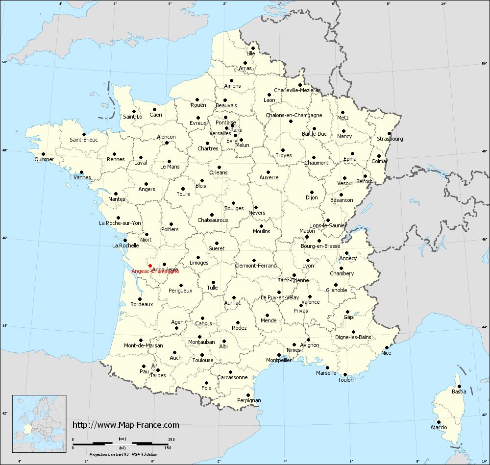
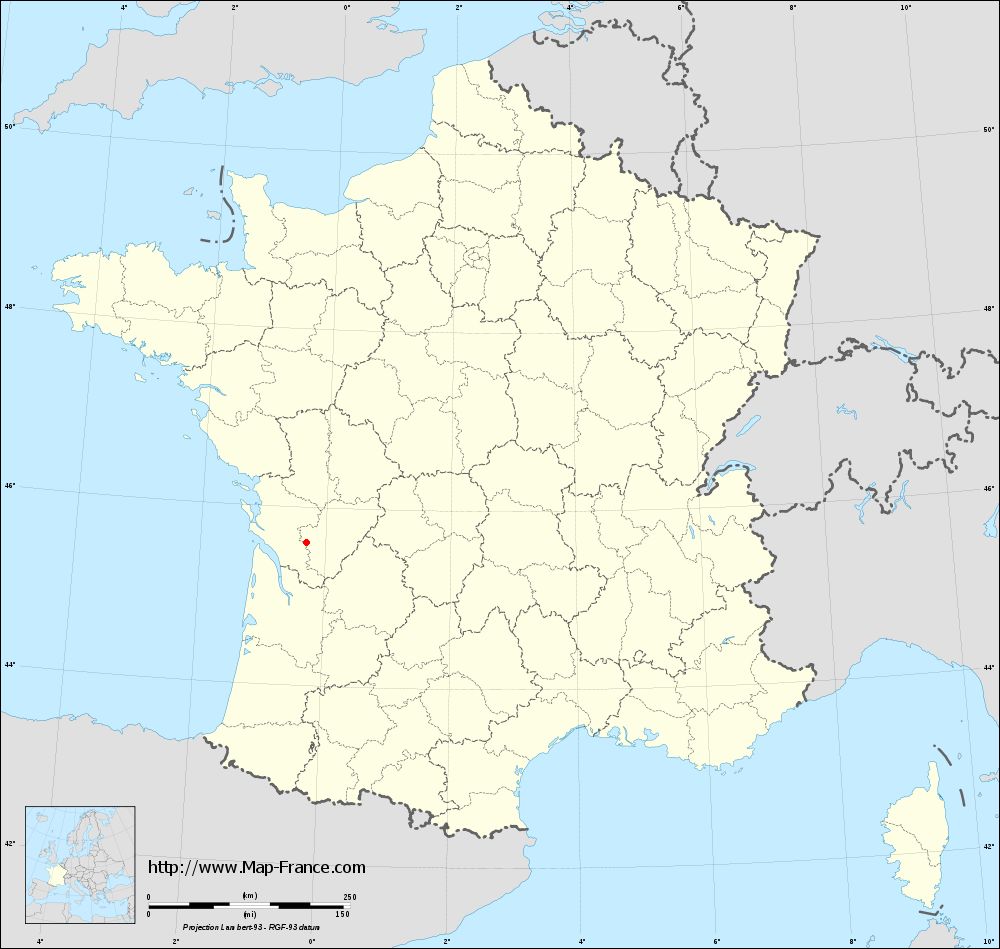
Map of Angeac-Champagne with departments and prefectures
|
Voir la carte of Angeac-Champagne en grand format (1000 x 949)
|
Here is the localization of Angeac-Champagne on the France map of departments in Lambert 93 coordinates. The city of Angeac-Champagne is shown on the map by a red point.
The town of Angeac-Champagne is located in the department of Charente of the french region Poitou-Charentes.
The latitude of Angeac-Champagne is 45.609 degrees North.
The longitude of Angeac-Champagne is 0.297 degrees West.
Here the distance between Angeac-Champagne and the biggest cities of France:
Distances are calculated as the crow flies (orthodromic distance)
Distance between Angeac-Champagne and Paris : 412.62 kilometers
Distance between Angeac-Champagne and Marseille : 519.46 kilometers
Distance between Angeac-Champagne and Lyon : 398.59 kilometers
Distance between Angeac-Champagne and Toulouse : 262.47 kilometers
Distance between Angeac-Champagne and Nice : 633.39 kilometers
Distance between Angeac-Champagne and Nantes : 203.2 kilometers
Distance between Angeac-Champagne and Strasbourg : 692.52 kilometers
Distance between Angeac-Champagne and Montpellier : 397.66 kilometers
Distance between Angeac-Champagne and Bordeaux : 87.8 kilometers
Distance between Angeac-Champagne and Lille : 610.13 kilometers
Distance between Angeac-Champagne and Rennes : 296.89 kilometers
Distance between Angeac-Champagne and Reims : 519.65 kilometers
Clic here to see the map of Angeac-Champagne in full screen:
Angeac-Champagne on the map of french departments
|
This administrative map of Angeac-Champagne is reusable and modifiable by making a link to this page of the Map-France.com website or by using the given code :
|
Administrative base maps of Angeac-Champagne
|
See the administrative base map of Angeac-Champagne in full screen (1000 x 949)
|
Small administrative base map of Angeac-Champagne
|
This base map administrative of Angeac-Champagne is reusable and modifiable by making a link to this page of the Map-France.com website or by using the given code :
|
 French Version : http://www.cartesfrance.fr