|
|
|
|
|
|
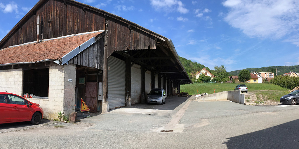
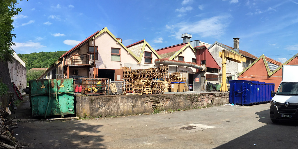
Anjoutey pictures
|
|
|
|
Photos of the town of Anjoutey
|
These photos taken near the town of Anjoutey can be shown in full screen clicking on the thumbnails. Photos are copyrighted by their owners.
| | |
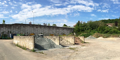
ZAC Hôpital Belfort
|
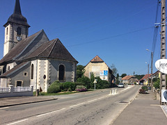
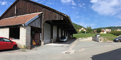
Lachapelle-sous-Chaux, la D13 dans la traversée du village
|
| |

Belfort
|

Dag 3: Göttingen - Belfort. Lååååång kö mellan Tyskland och Frankrike, i övrigt bra. Äntligen lunch på ett riktigt raststätte, och nu en kväll i Belfort, där hotellet har vackra fönster.
|
| |

Dag 3: Göttingen - Belfort. Lååååång kö mellan Tyskland och Frankrike, i övrigt bra. Äntligen lunch på ett riktigt raststätte, och nu en kväll i Belfort, där hotellet har vackra fönster.
|

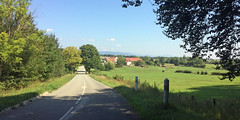
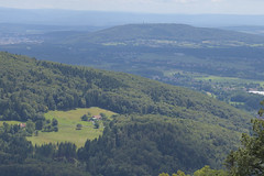
D-une crête à l-autre
|
| |
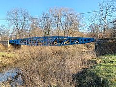
Foussemagne, le pont d-Arromanches sur la Saint-Nicolas
|

Foussemagne, la Saint-Nicolas
|
| |

Pérouse
|
Pérouse
|
| |

Pérouse
|

Pérouse
|
| |
Pérouse
|

Pérouse
|
| |

Pérouse
|

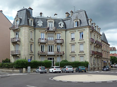
Belfort, place de la République
|
| |

Belfort, place de la République
|

Butineuse
|
| |

Chaume dorée
|
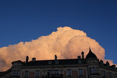
Cumulus_bourgeonnant
|
| |
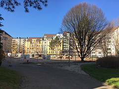
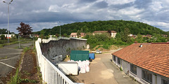
Belfort, intérieur d-îlot Jean Rostand, démolition de l-ancien IFSI
|
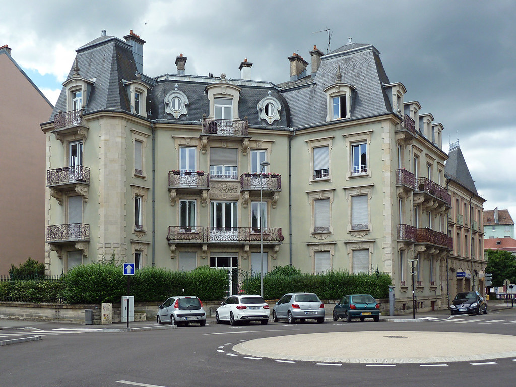
4 rue Metz-Juteau
|
| |
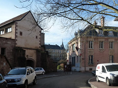
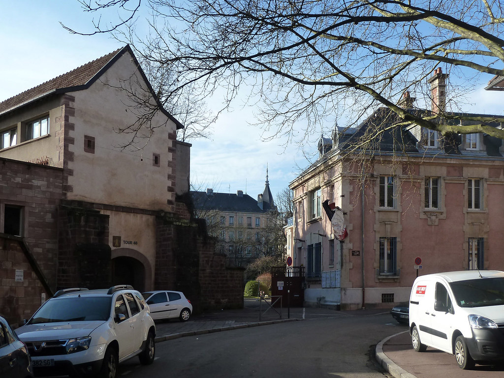
Rue de l-Ancien Théatre, la tour 46 et la préfecture
|
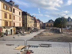
La place de la République en travaux (08/2023)
|
| |
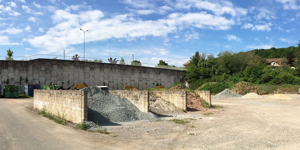
La recyclerie de la rue de Soissons à Belfort
|

La recyclerie de la rue de Soissons à Belfort
|
| |
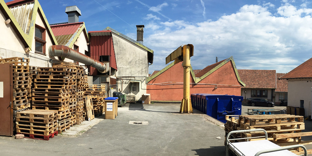
La recyclerie de la rue de Soissons à Belfort
|
La recyclerie de la rue de Soissons à Belfort
|
| |

La recyclerie de la rue de Soissons à Belfort
|
Plaine_et_Monts
|
|
Old photos of the town of Anjoutey
|
These photos taken near the town of Anjoutey can be shown in full screen clicking on the thumbnails. Photos are copyrighted by their owners.
|
|
Other maps, hotels and towns in france
Find another town, zip code, department, region, ...
Quick links Anjoutey :
Back to the menus Map of France :
Make a link to this page of Anjoutey with the following code :
|
|
Map of France | Regions | Departments | Cities | Partners | Terms | Contact
|