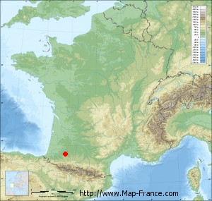
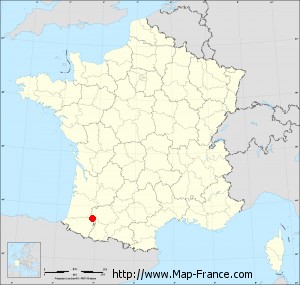
Arricau-Bordes on the relief France map in Lambert 93 coordinates
|

See the map of Arricau-Bordes in full screen (1000 x 949)
|
At left, here is the location of Arricau-Bordes on the relief France map in Lambert 93 coordinates.
Here are the altitudes of Arricau-Bordes :
- Town hall altitude of Arricau-Bordes is 280 meters
- Minimum altitude of Arricau-Bordes is 140 meters
- Maximum altitude of Arricau-Bordes is 299 meters
- Medium altitude of Arricau-Bordes is 220 meters
Here are the altitudes of Pau, prefecture of Pyrénées-Atlantiques department:
- Town hall altitude of Pau is 210 meters
- Minimum altitude of Pau is 165 meters
- Maximum altitude of Pau is 245 meters
- Medium altitude of Pau is 205 meters
Here are the altitudes of the french biggest cities:
Paris : 33 meters
Marseille : 20 meters
Lyon : 237 meters
Toulouse : 146 meters
Nice : 10 meters
Nantes : 20 meters
Strasbourg : 144 meters
Montpellier : 35 meters
Bordeaux : 16 meters
Lille : 20 meters
Rennes : 35 meters
Reims : 83 meters
Click here for the terrain map of Arricau-Bordes in full screen:
Relief map of Arricau-Bordes
|
This relief map of Arricau-Bordes is reusable and modifiable by making a link to this page of the Map-France.com website or by using the given code :
|
Terrain base map of Arricau-Bordes
|

See the terrain base map of Arricau-Bordes in full screen (1000 x 949)
|
Small relief base map of Arricau-Bordes
|
This base map of Arricau-Bordes is reusable and modifiable by making a link to this page of the Map-France.com website or by using the given code :
|
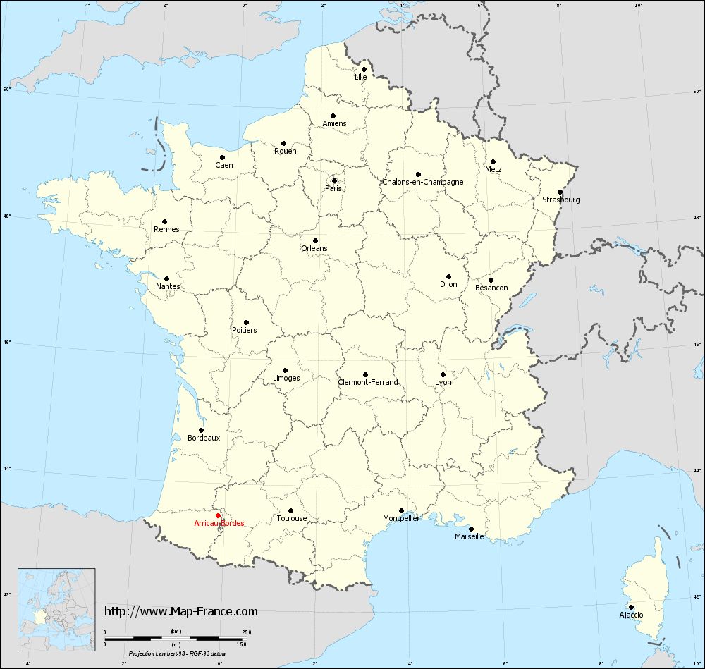
Map of Arricau-Bordes with regions and prefectures
|
View the map of Arricau-Bordes in full screen (1000 x 949)
|
You will find the location of Arricau-Bordes on the map of France of regions in Lambert 93 coordinates. The town of Arricau-Bordes is located in the department of Pyrénées-Atlantiques of the french region Aquitaine.
Geographical sexagesimal coordinates / GPS (WGS84):
Latitude: 43° 29' 36'' North
Longitude: 00° 08' 05'' West
Geographical decimal coordinates :
Latitude: 43.493 degrees (43.493° North)
Longitude: -0.135 degrees (0.135° West)
Lambert 93 coordinates :
X: 4 464 hectometers
Y: 62 711 hectometers
Lambert 2 coordinates :
X: 3 998 hectometers
Y: 18 355 hectometers
Below, the geographical coordinates of Pau, prefecture of the Pyrénées-Atlantiques department:
Geographical sexagesimal coordinates / GPS (WGS84):
Latitude: 43° 18' 03'' North
Longitude: 00° 22' 12'' West
Geographical decimal coordinates :
Latitude: 43.303 degrees (43.303° North)
Longitude: -0.367 degrees (0.367° West)
Lambert 93 coordinates :
X: 4 265 hectometers
Y: 62 505 hectometers
Lambert 2 coordinates :
X: 3 801 hectometers
Y: 18 147 hectometers
|
This map of Arricau-Bordes is reusable and modifiable by making a link to this page of the Map-France.com website or by using the given code :
|
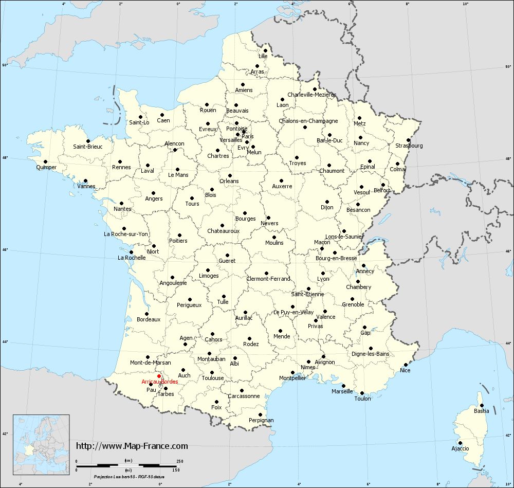
Map of Arricau-Bordes with departments and prefectures
|
Voir la carte of Arricau-Bordes en grand format (1000 x 949)
|
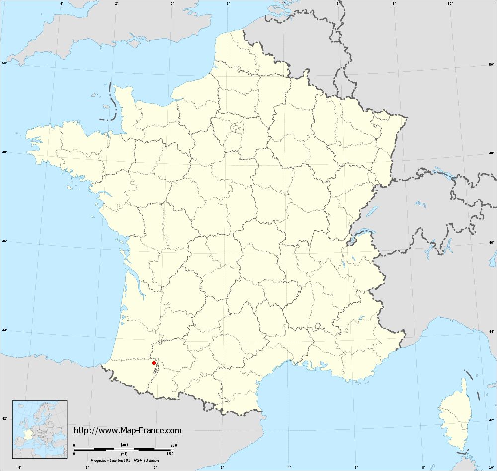
Here is the localization of Arricau-Bordes on the France map of departments in Lambert 93 coordinates. The city of Arricau-Bordes is shown on the map by a red point.
The town of Arricau-Bordes is located in the department of Pyrénées-Atlantiques of the french region Aquitaine.
The latitude of Arricau-Bordes is 43.493 degrees North.
The longitude of Arricau-Bordes is 0.135 degrees West.
Here the distance between Arricau-Bordes and the biggest cities of France:
Distances are calculated as the crow flies (orthodromic distance)
Distance between Arricau-Bordes and Paris : 626.06 kilometers
Distance between Arricau-Bordes and Marseille : 447.24 kilometers
Distance between Arricau-Bordes and Lyon : 466.59 kilometers
Distance between Arricau-Bordes and Toulouse : 128.19 kilometers
Distance between Arricau-Bordes and Nice : 595.44 kilometers
Distance between Arricau-Bordes and Nantes : 428.51 kilometers
Distance between Arricau-Bordes and Strasbourg : 830.06 kilometers
Distance between Arricau-Bordes and Montpellier : 323.04 kilometers
Distance between Arricau-Bordes and Bordeaux : 154.01 kilometers
Distance between Arricau-Bordes and Lille : 828.23 kilometers
Distance between Arricau-Bordes and Rennes : 526.46 kilometers
Distance between Arricau-Bordes and Reims : 715.43 kilometers
Clic here to see the map of Arricau-Bordes in full screen:
Arricau-Bordes on the map of french departments
|
This administrative map of Arricau-Bordes is reusable and modifiable by making a link to this page of the Map-France.com website or by using the given code :
|
Administrative base maps of Arricau-Bordes
|
See the administrative base map of Arricau-Bordes in full screen (1000 x 949)
|
Small administrative base map of Arricau-Bordes
|
This base map administrative of Arricau-Bordes is reusable and modifiable by making a link to this page of the Map-France.com website or by using the given code :
|
 French Version : http://www.cartesfrance.fr