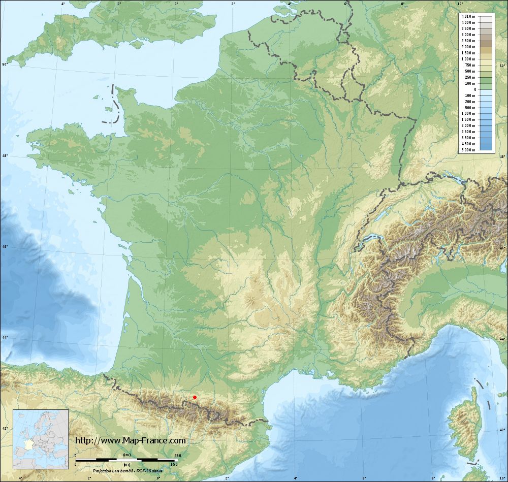
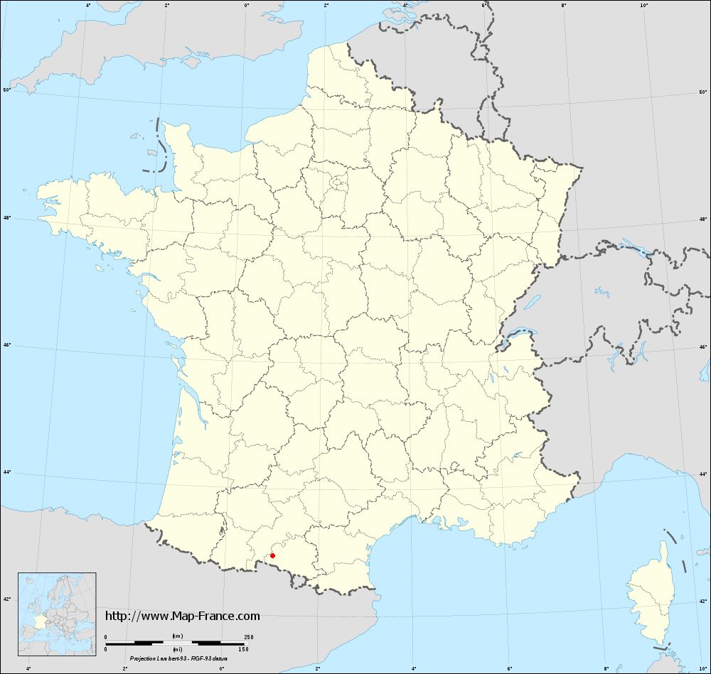
Arrout on the relief France map in Lambert 93 coordinates
|

See the map of Arrout in full screen (1000 x 949)
|
At left, here is the location of Arrout on the relief France map in Lambert 93 coordinates.
Here are the altitudes of Arrout :
- Town hall altitude of Arrout is 620 meters
- Minimum altitude of Arrout is 480 meters
- Maximum altitude of Arrout is 959 meters
- Medium altitude of Arrout is 720 meters
Here are the altitudes of Foix, prefecture of Ariège department:
- Town hall altitude of Foix is 380 meters
- Minimum altitude of Foix is 358 meters
- Maximum altitude of Foix is 933 meters
- Medium altitude of Foix is 646 meters
Here are the altitudes of the french biggest cities:
Paris : 33 meters
Marseille : 20 meters
Lyon : 237 meters
Toulouse : 146 meters
Nice : 10 meters
Nantes : 20 meters
Strasbourg : 144 meters
Montpellier : 35 meters
Bordeaux : 16 meters
Lille : 20 meters
Rennes : 35 meters
Reims : 83 meters
Click here for the terrain map of Arrout in full screen:
Relief map of Arrout
|
This relief map of Arrout is reusable and modifiable by making a link to this page of the Map-France.com website or by using the given code :
|
Terrain base map of Arrout
|
See the terrain base map of Arrout in full screen (1000 x 949)
|
Small relief base map of Arrout
|
This base map of Arrout is reusable and modifiable by making a link to this page of the Map-France.com website or by using the given code :
|
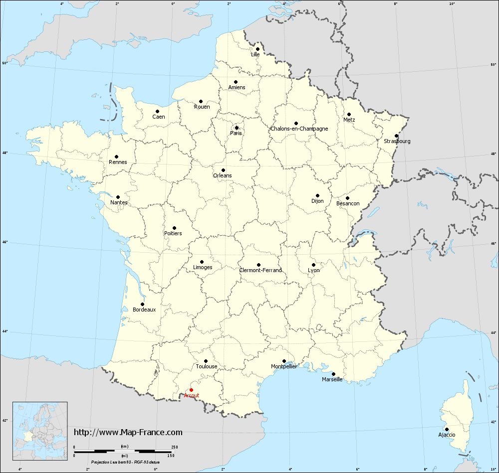
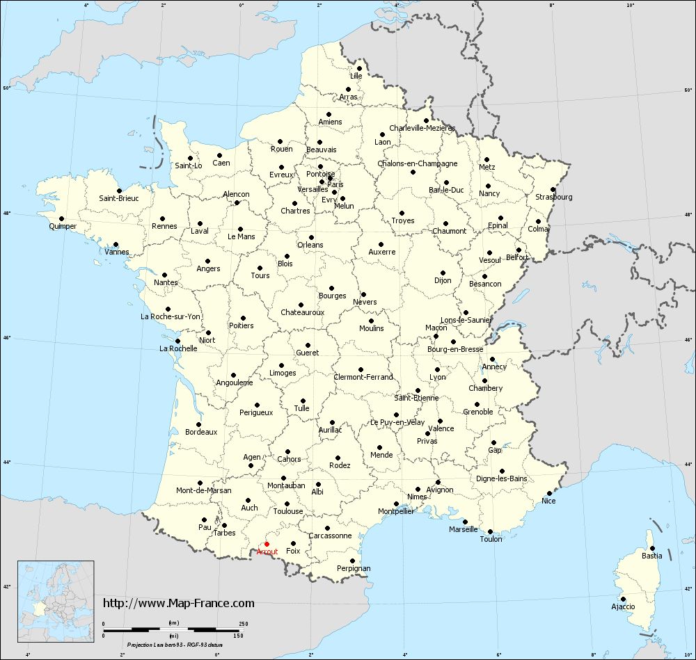
Map of Arrout with regions and prefectures
|
View the map of Arrout in full screen (1000 x 949)
|
You will find the location of Arrout on the map of France of regions in Lambert 93 coordinates. The town of Arrout is located in the department of Ariège of the french region Midi-Pyrénées.
Geographical sexagesimal coordinates / GPS (WGS84):
Latitude: 42° 56' 41'' North
Longitude: 01° 01' 40'' East
Geographical decimal coordinates :
Latitude: 42.945 degrees (42.945° North)
Longitude: 1.028 degrees (1.028° East)
Lambert 93 coordinates :
X: 5 389 hectometers
Y: 62 070 hectometers
Lambert 2 coordinates :
X: 4 930 hectometers
Y: 17 722 hectometers
Below, the geographical coordinates of Foix, prefecture of the Ariège department:
Geographical sexagesimal coordinates / GPS (WGS84):
Latitude: 42° 57' 55'' North
Longitude: 01° 36' 25'' East
Geographical decimal coordinates :
Latitude: 42.96 degrees (42.96° North)
Longitude: 1.609 degrees (1.609° East)
Lambert 93 coordinates :
X: 5 863 hectometers
Y: 62 083 hectometers
Lambert 2 coordinates :
X: 5 404 hectometers
Y: 17 739 hectometers
|
This map of Arrout is reusable and modifiable by making a link to this page of the Map-France.com website or by using the given code :
|
Map of Arrout with departments and prefectures
|
Voir la carte of Arrout en grand format (1000 x 949)
|
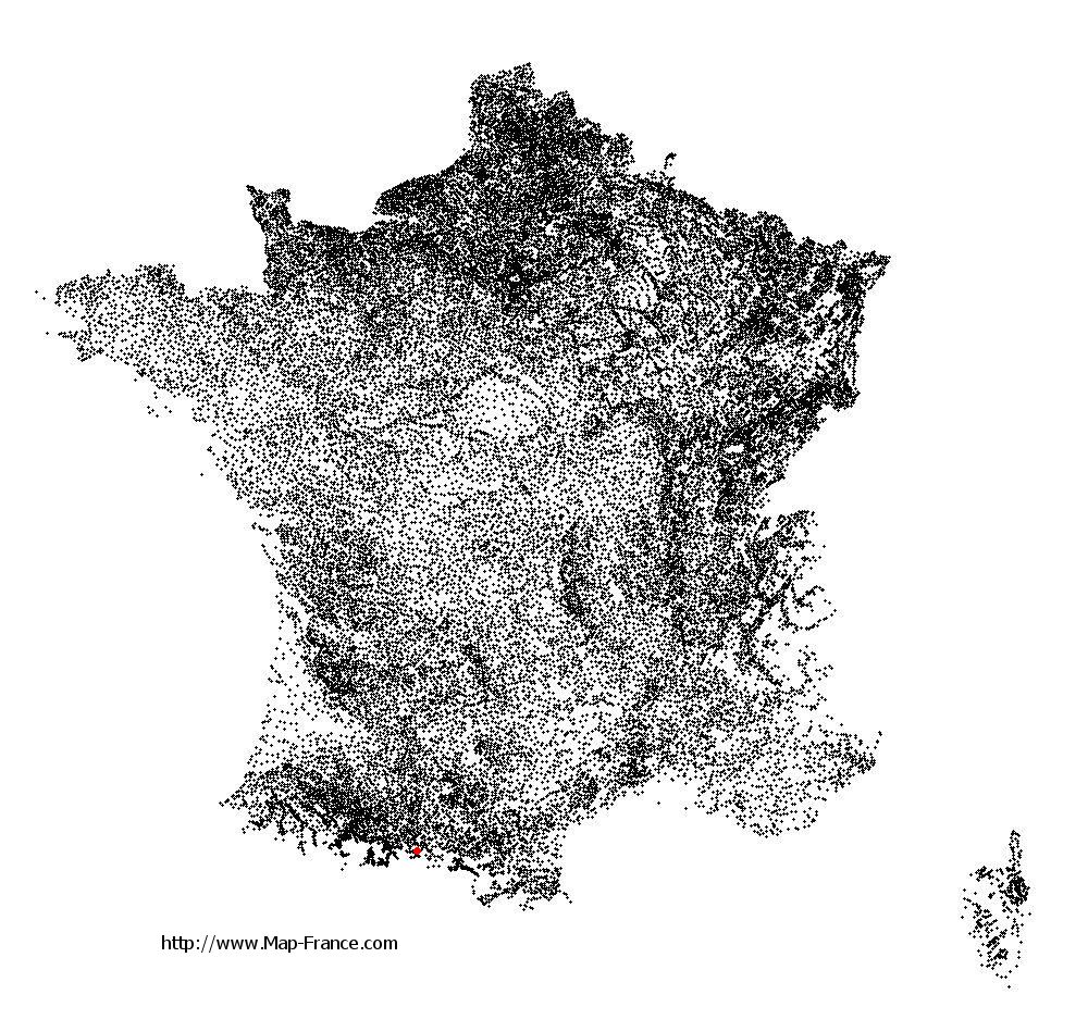
Here is the localization of Arrout on the France map of departments in Lambert 93 coordinates. The city of Arrout is shown on the map by a red point.
The town of Arrout is located in the department of Ariège of the french region Midi-Pyrénées.
The latitude of Arrout is 42.945 degrees North.
The longitude of Arrout is 1.028 degrees East.
Here the distance between Arrout and the biggest cities of France:
Distances are calculated as the crow flies (orthodromic distance)
Distance between Arrout and Paris : 665.1 kilometers
Distance between Arrout and Marseille : 356.6 kilometers
Distance between Arrout and Lyon : 434.94 kilometers
Distance between Arrout and Toulouse : 80.38 kilometers
Distance between Arrout and Nice : 510.78 kilometers
Distance between Arrout and Nantes : 516.21 kilometers
Distance between Arrout and Strasbourg : 814.51 kilometers
Distance between Arrout and Montpellier : 241.71 kilometers
Distance between Arrout and Bordeaux : 246.87 kilometers
Distance between Arrout and Lille : 867.22 kilometers
Distance between Arrout and Rennes : 611.03 kilometers
Distance between Arrout and Reims : 738.43 kilometers
Clic here to see the map of Arrout in full screen:
Arrout on the map of french departments
|
This administrative map of Arrout is reusable and modifiable by making a link to this page of the Map-France.com website or by using the given code :
|
Administrative base maps of Arrout
|
See the administrative base map of Arrout in full screen (1000 x 949)
|
Small administrative base map of Arrout
|
This base map administrative of Arrout is reusable and modifiable by making a link to this page of the Map-France.com website or by using the given code :
|
 French Version : http://www.cartesfrance.fr