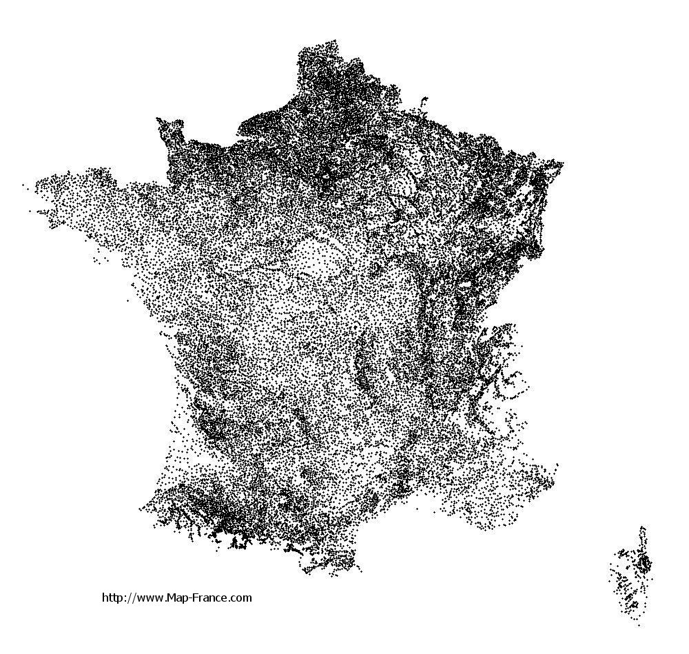
Baie-Mahault on the relief France map in Lambert 93 coordinates
|

See the map of Baie-Mahault in full screen (1000 x 949)
|
At left, here is the location of Baie-Mahault on the relief France map in Lambert 93 coordinates.
Here are the altitudes of Baie-Mahault :
- Town hall altitude of Baie-Mahault is 56 meters
- Minimum altitude of Baie-Mahault is 0 meters
- Maximum altitude of Baie-Mahault is 112 meters
- Medium altitude of Baie-Mahault is 56 meters
Here are the altitudes of Basse-Terre, prefecture of Guadeloupe department:
- Town hall altitude of Basse-Terre is 82 meters
- Minimum altitude of Basse-Terre is 0 meters
- Maximum altitude of Basse-Terre is 164 meters
- Medium altitude of Basse-Terre is 82 meters
Here are the altitudes of the french biggest cities:
Paris : 33 meters
Marseille : 20 meters
Lyon : 237 meters
Toulouse : 146 meters
Nice : 10 meters
Nantes : 20 meters
Strasbourg : 144 meters
Montpellier : 35 meters
Bordeaux : 16 meters
Lille : 20 meters
Rennes : 35 meters
Reims : 83 meters
Click here for the terrain map of Baie-Mahault in full screen:
Relief map of Baie-Mahault
|
This relief map of Baie-Mahault is reusable and modifiable by making a link to this page of the Map-France.com website or by using the given code :
|
Terrain base map of Baie-Mahault
|

See the terrain base map of Baie-Mahault in full screen (1000 x 949)
|
Small relief base map of Baie-Mahault

|
This base map of Baie-Mahault is reusable and modifiable by making a link to this page of the Map-France.com website or by using the given code :
|
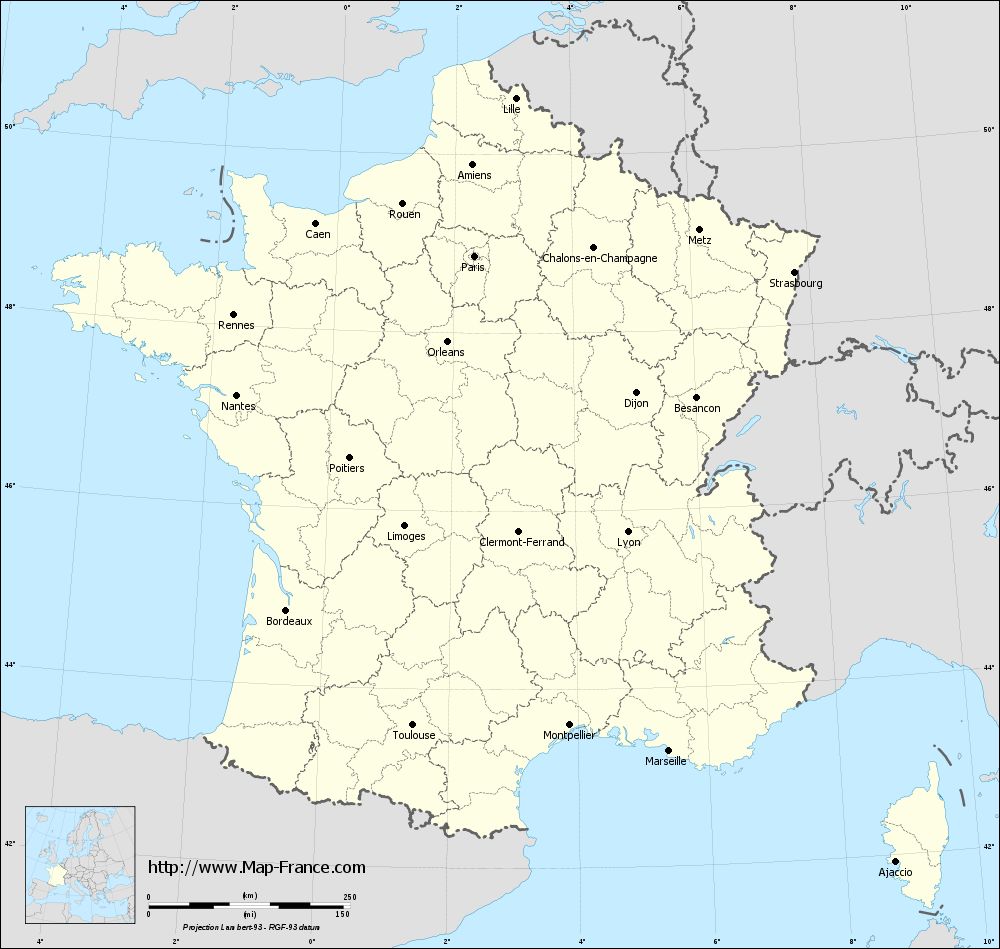
Map of Baie-Mahault with regions and prefectures
|
View the map of Baie-Mahault in full screen (1000 x 949)
|
You will find the location of Baie-Mahault on the map of France of regions in Lambert 93 coordinates. The city of Baie-Mahault is located in the department of Guadeloupe of the french region Guadeloupe.
Geographical sexagesimal coordinates / GPS (WGS84):
Latitude: 16° 16' 03'' North
Longitude: 61° 35' 13'' West
Geographical decimal coordinates :
Latitude: 16.267 degrees (16.267° North)
Longitude: -61.583 degrees (61.583° West)
Below, the geographical coordinates of Basse-Terre, prefecture of the Guadeloupe department:
Geographical sexagesimal coordinates / GPS (WGS84):
Latitude: 15° 59' 49'' North
Longitude: 61° 43' 58'' West
Geographical decimal coordinates :
Latitude: 16 degrees (16° North)
Longitude: -61.733 degrees (61.733° West)
|
This map of Baie-Mahault is reusable and modifiable by making a link to this page of the Map-France.com website or by using the given code :
|
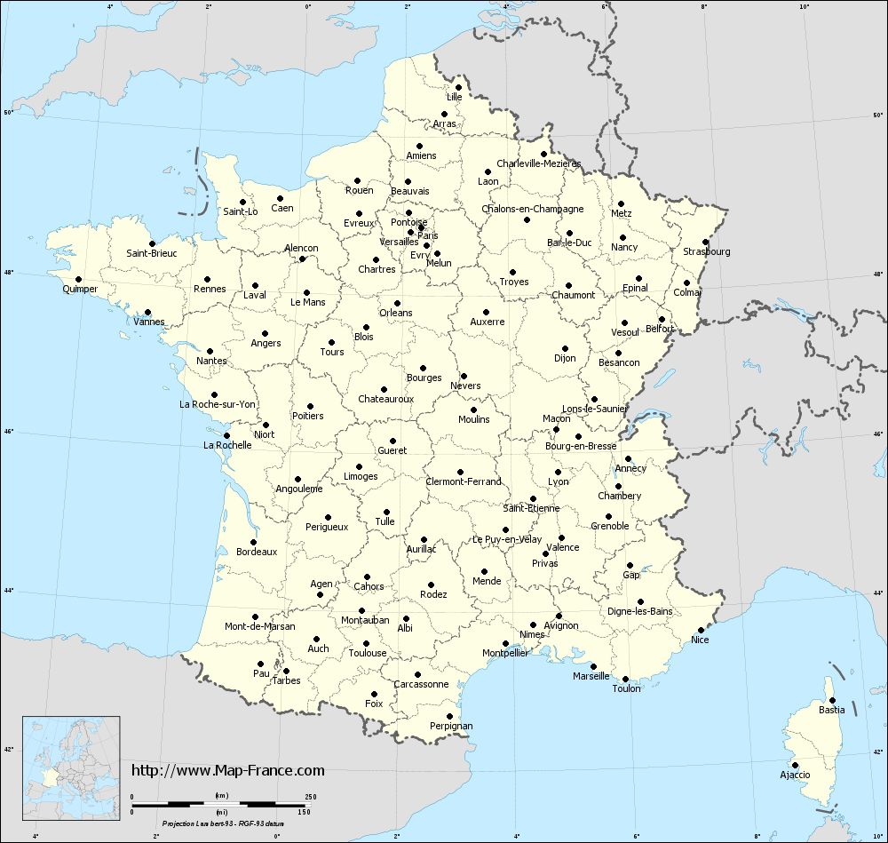
Map of Baie-Mahault with departments and prefectures
|
Voir la carte of Baie-Mahault en grand format (1000 x 949)
|
Here is the localization of Baie-Mahault on the France map of departments in Lambert 93 coordinates. The city of Baie-Mahault is shown on the map by a red point.
The city of Baie-Mahault is located in the department of Guadeloupe of the french region Guadeloupe.
The latitude of Baie-Mahault is 16.267 degrees North.
The longitude of Baie-Mahault is 61.583 degrees West.
Here the distance between Baie-Mahault and the biggest cities of France:
Distances are calculated as the crow flies (orthodromic distance)
Distance between Baie-Mahault and Paris : 6750.59 kilometers
Distance between Baie-Mahault and Marseille : 6918.86 kilometers
Distance between Baie-Mahault and Lyon : 6894.88 kilometers
Distance between Baie-Mahault and Toulouse : 6604.45 kilometers
Distance between Baie-Mahault and Nice : 7071.1 kilometers
Distance between Baie-Mahault and Nantes : 6433.87 kilometers
Distance between Baie-Mahault and Strasbourg : 7140.93 kilometers
Distance between Baie-Mahault and Montpellier : 6798.62 kilometers
Distance between Baie-Mahault and Bordeaux : 6462.94 kilometers
Distance between Baie-Mahault and Lille : 6830.86 kilometers
Distance between Baie-Mahault and Rennes : 6443.99 kilometers
Distance between Baie-Mahault and Reims : 6878.37 kilometers
Clic here to see the map of Baie-Mahault in full screen:
Baie-Mahault on the map of french departments
|
This administrative map of Baie-Mahault is reusable and modifiable by making a link to this page of the Map-France.com website or by using the given code :
|
Administrative base maps of Baie-Mahault
|

See the administrative base map of Baie-Mahault in full screen (1000 x 949)
|
Small administrative base map of Baie-Mahault
|
This base map administrative of Baie-Mahault is reusable and modifiable by making a link to this page of the Map-France.com website or by using the given code :
|
 French Version : http://www.cartesfrance.fr