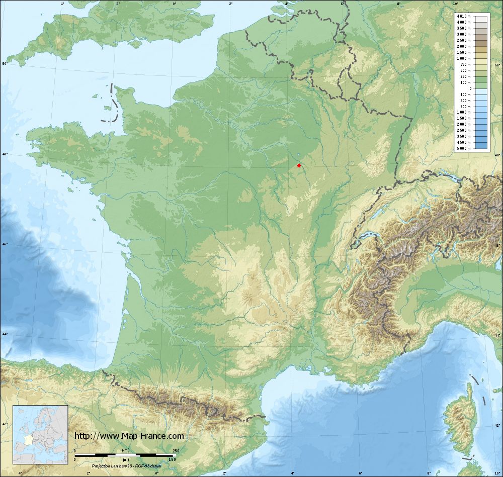
Balnot-sur-Laignes on the relief France map in Lambert 93 coordinates
|

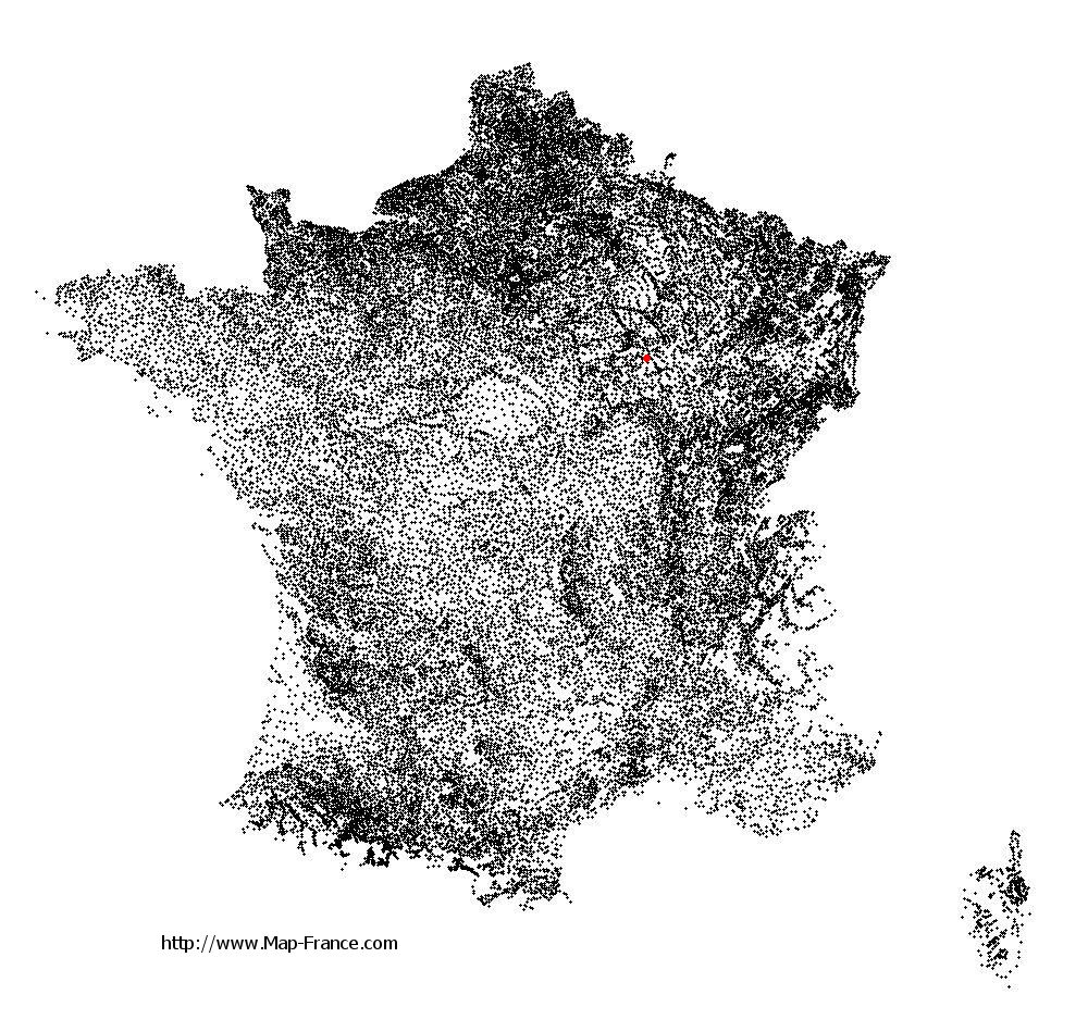
See the map of Balnot-sur-Laignes in full screen (1000 x 949)
|
At left, here is the location of Balnot-sur-Laignes on the relief France map in Lambert 93 coordinates.
Here are the altitudes of Balnot-sur-Laignes :
- Town hall altitude of Balnot-sur-Laignes is 180 meters
- Minimum altitude of Balnot-sur-Laignes is 160 meters
- Maximum altitude of Balnot-sur-Laignes is 310 meters
- Medium altitude of Balnot-sur-Laignes is 235 meters
Here are the altitudes of Troyes, prefecture of Aube department:
- Town hall altitude of Troyes is 107 meters
- Minimum altitude of Troyes is 100 meters
- Maximum altitude of Troyes is 126 meters
- Medium altitude of Troyes is 113 meters
Here are the altitudes of the french biggest cities:
Paris : 33 meters
Marseille : 20 meters
Lyon : 237 meters
Toulouse : 146 meters
Nice : 10 meters
Nantes : 20 meters
Strasbourg : 144 meters
Montpellier : 35 meters
Bordeaux : 16 meters
Lille : 20 meters
Rennes : 35 meters
Reims : 83 meters
Click here for the terrain map of Balnot-sur-Laignes in full screen:
Relief map of Balnot-sur-Laignes
|
This relief map of Balnot-sur-Laignes is reusable and modifiable by making a link to this page of the Map-France.com website or by using the given code :
|
Terrain base map of Balnot-sur-Laignes
|
See the terrain base map of Balnot-sur-Laignes in full screen (1000 x 949)
|
Small relief base map of Balnot-sur-Laignes

|
This base map of Balnot-sur-Laignes is reusable and modifiable by making a link to this page of the Map-France.com website or by using the given code :
|
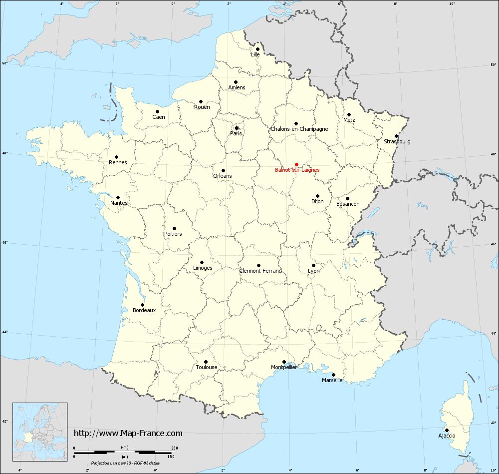
Map of Balnot-sur-Laignes with regions and prefectures
|
View the map of Balnot-sur-Laignes in full screen (1000 x 949)
|
You will find the location of Balnot-sur-Laignes on the map of France of regions in Lambert 93 coordinates. The town of Balnot-sur-Laignes is located in the department of Aube of the french region Champagne-Ardenne.
Geographical sexagesimal coordinates / GPS (WGS84):
Latitude: 48° 01' 55'' North
Longitude: 04° 21' 54'' East
Geographical decimal coordinates :
Latitude: 48.031 degrees (48.031° North)
Longitude: 4.365 degrees (4.365° East)
Lambert 93 coordinates :
X: 8 017 hectometers
Y: 67 710 hectometers
Lambert 2 coordinates :
X: 7 513 hectometers
Y: 23 389 hectometers
Below, the geographical coordinates of Troyes, prefecture of the Aube department:
Geographical sexagesimal coordinates / GPS (WGS84):
Latitude: 48° 17' 56'' North
Longitude: 04° 04' 41'' East
Geographical decimal coordinates :
Latitude: 48.296 degrees (48.296° North)
Longitude: 4.072 degrees (4.072° East)
Lambert 93 coordinates :
X: 7 800 hectometers
Y: 68 004 hectometers
Lambert 2 coordinates :
X: 7 292 hectometers
Y: 23 681 hectometers
|
This map of Balnot-sur-Laignes is reusable and modifiable by making a link to this page of the Map-France.com website or by using the given code :
|
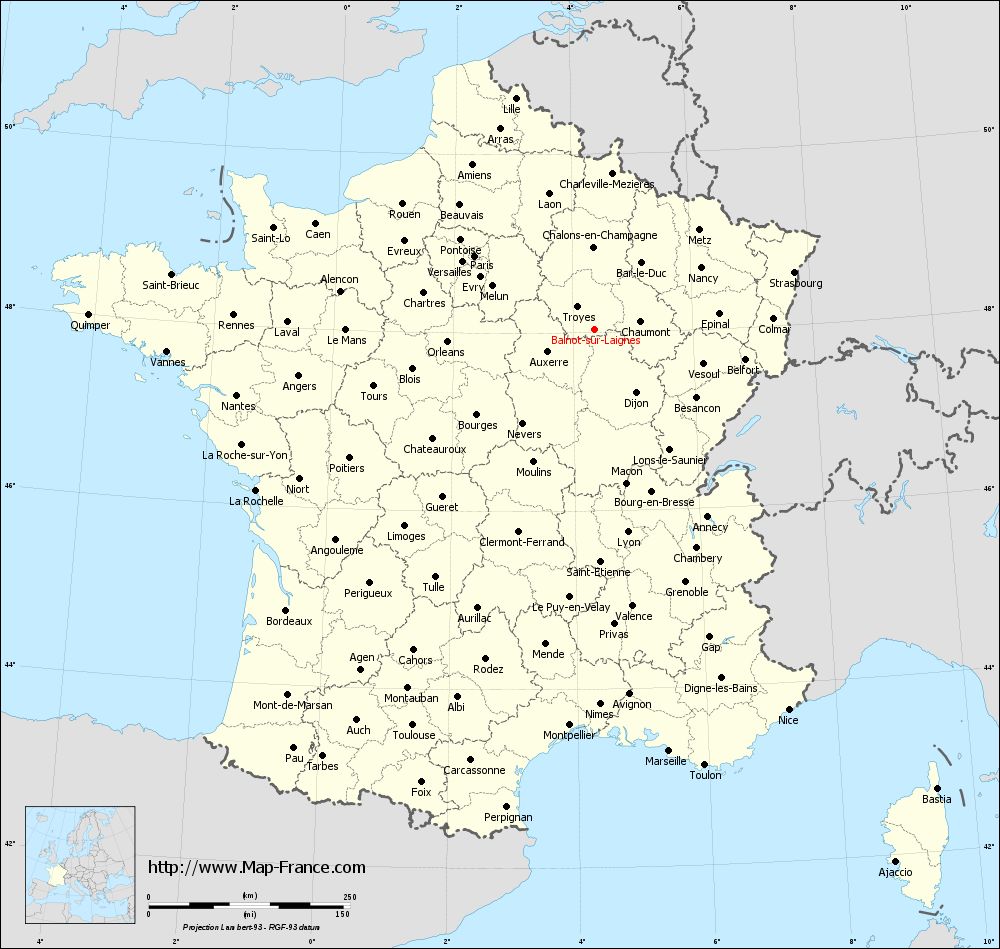
Map of Balnot-sur-Laignes with departments and prefectures
|
Voir la carte of Balnot-sur-Laignes en grand format (1000 x 949)
|
Here is the localization of Balnot-sur-Laignes on the France map of departments in Lambert 93 coordinates. The city of Balnot-sur-Laignes is shown on the map by a red point.
The town of Balnot-sur-Laignes is located in the department of Aube of the french region Champagne-Ardenne.
The latitude of Balnot-sur-Laignes is 48.031 degrees North.
The longitude of Balnot-sur-Laignes is 4.365 degrees East.
Here the distance between Balnot-sur-Laignes and the biggest cities of France:
Distances are calculated as the crow flies (orthodromic distance)
Distance between Balnot-sur-Laignes and Paris : 175.06 kilometers
Distance between Balnot-sur-Laignes and Marseille : 532.02 kilometers
Distance between Balnot-sur-Laignes and Lyon : 254.86 kilometers
Distance between Balnot-sur-Laignes and Toulouse : 541.51 kilometers
Distance between Balnot-sur-Laignes and Nice : 530.13 kilometers
Distance between Balnot-sur-Laignes and Nantes : 452.21 kilometers
Distance between Balnot-sur-Laignes and Strasbourg : 257.97 kilometers
Distance between Balnot-sur-Laignes and Montpellier : 492.8 kilometers
Distance between Balnot-sur-Laignes and Bordeaux : 518.03 kilometers
Distance between Balnot-sur-Laignes and Lille : 303.95 kilometers
Distance between Balnot-sur-Laignes and Rennes : 448.82 kilometers
Distance between Balnot-sur-Laignes and Reims : 138.5 kilometers
Clic here to see the map of Balnot-sur-Laignes in full screen:
Balnot-sur-Laignes on the map of french departments
|
This administrative map of Balnot-sur-Laignes is reusable and modifiable by making a link to this page of the Map-France.com website or by using the given code :
|
Administrative base maps of Balnot-sur-Laignes
|

See the administrative base map of Balnot-sur-Laignes in full screen (1000 x 949)
|
Small administrative base map of Balnot-sur-Laignes
|
This base map administrative of Balnot-sur-Laignes is reusable and modifiable by making a link to this page of the Map-France.com website or by using the given code :
|
 French Version : http://www.cartesfrance.fr