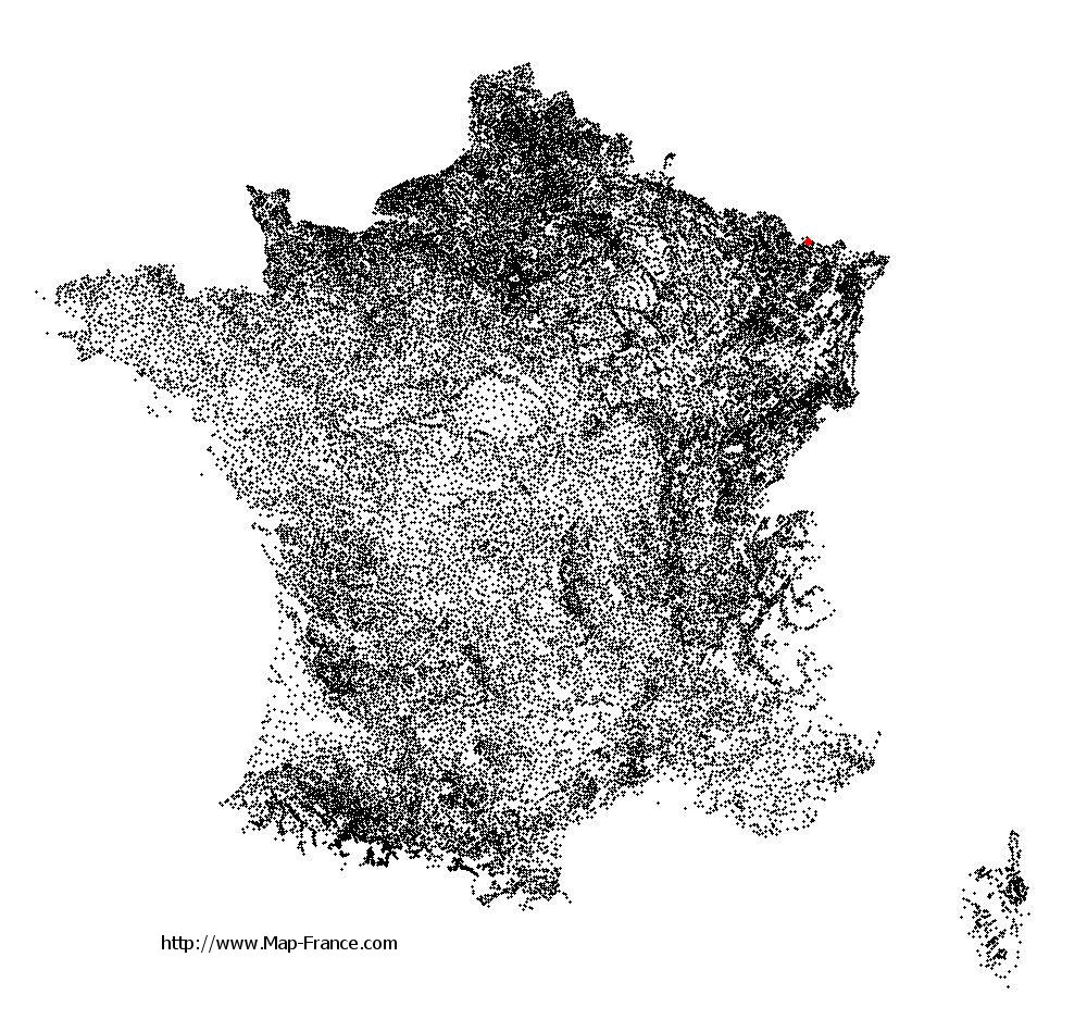
Behren-lès-Forbach on the relief France map in Lambert 93 coordinates
|

See the map of Behren-lès-Forbach in full screen (1000 x 949)
|
At left, here is the location of Behren-lès-Forbach on the relief France map in Lambert 93 coordinates.
Here are the altitudes of Behren-lès-Forbach :
- Town hall altitude of Behren-lès-Forbach is 300 meters
- Minimum altitude of Behren-lès-Forbach is 243 meters
- Maximum altitude of Behren-lès-Forbach is 382 meters
- Medium altitude of Behren-lès-Forbach is 313 meters
Here are the altitudes of Metz, prefecture of Moselle department:
- Town hall altitude of Metz is 182 meters
- Minimum altitude of Metz is 162 meters
- Maximum altitude of Metz is 256 meters
- Medium altitude of Metz is 209 meters
Here are the altitudes of the french biggest cities:
Paris : 33 meters
Marseille : 20 meters
Lyon : 237 meters
Toulouse : 146 meters
Nice : 10 meters
Nantes : 20 meters
Strasbourg : 144 meters
Montpellier : 35 meters
Bordeaux : 16 meters
Lille : 20 meters
Rennes : 35 meters
Reims : 83 meters
Click here for the terrain map of Behren-lès-Forbach in full screen:
Relief map of Behren-lès-Forbach
|
This relief map of Behren-lès-Forbach is reusable and modifiable by making a link to this page of the Map-France.com website or by using the given code :
|
Terrain base map of Behren-lès-Forbach
|

See the terrain base map of Behren-lès-Forbach in full screen (1000 x 949)
|
Small relief base map of Behren-lès-Forbach

|
This base map of Behren-lès-Forbach is reusable and modifiable by making a link to this page of the Map-France.com website or by using the given code :
|
Map of Behren-lès-Forbach with regions and prefectures
|
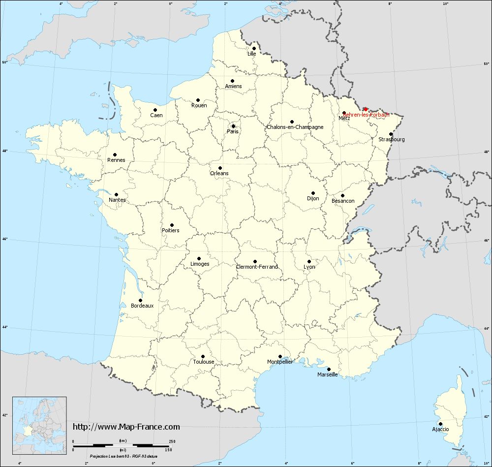
View the map of Behren-lès-Forbach in full screen (1000 x 949)
|
You will find the location of Behren-lès-Forbach on the map of France of regions in Lambert 93 coordinates. The city of Behren-lès-Forbach is located in the department of Moselle of the french region Lorraine.
Geographical sexagesimal coordinates / GPS (WGS84):
Latitude: 49° 10' 26'' North
Longitude: 06° 56' 05'' East
Geographical decimal coordinates :
Latitude: 49.164 degrees (49.164° North)
Longitude: 6.944 degrees (6.944° East)
Lambert 93 coordinates :
X: 9 868 hectometers
Y: 69 043 hectometers
Lambert 2 coordinates :
X: 9 354 hectometers
Y: 24 738 hectometers
Below, the geographical coordinates of Metz, prefecture of the Moselle department:
Geographical sexagesimal coordinates / GPS (WGS84):
Latitude: 49° 07' 11'' North
Longitude: 06° 10' 37'' East
Geographical decimal coordinates :
Latitude: 49.109 degrees (49.109° North)
Longitude: 6.183 degrees (6.183° East)
Lambert 93 coordinates :
X: 9 319 hectometers
Y: 68 958 hectometers
Lambert 2 coordinates :
X: 8 804 hectometers
Y: 24 648 hectometers
|
This map of Behren-lès-Forbach is reusable and modifiable by making a link to this page of the Map-France.com website or by using the given code :
|
Map of Behren-lès-Forbach with departments and prefectures
|
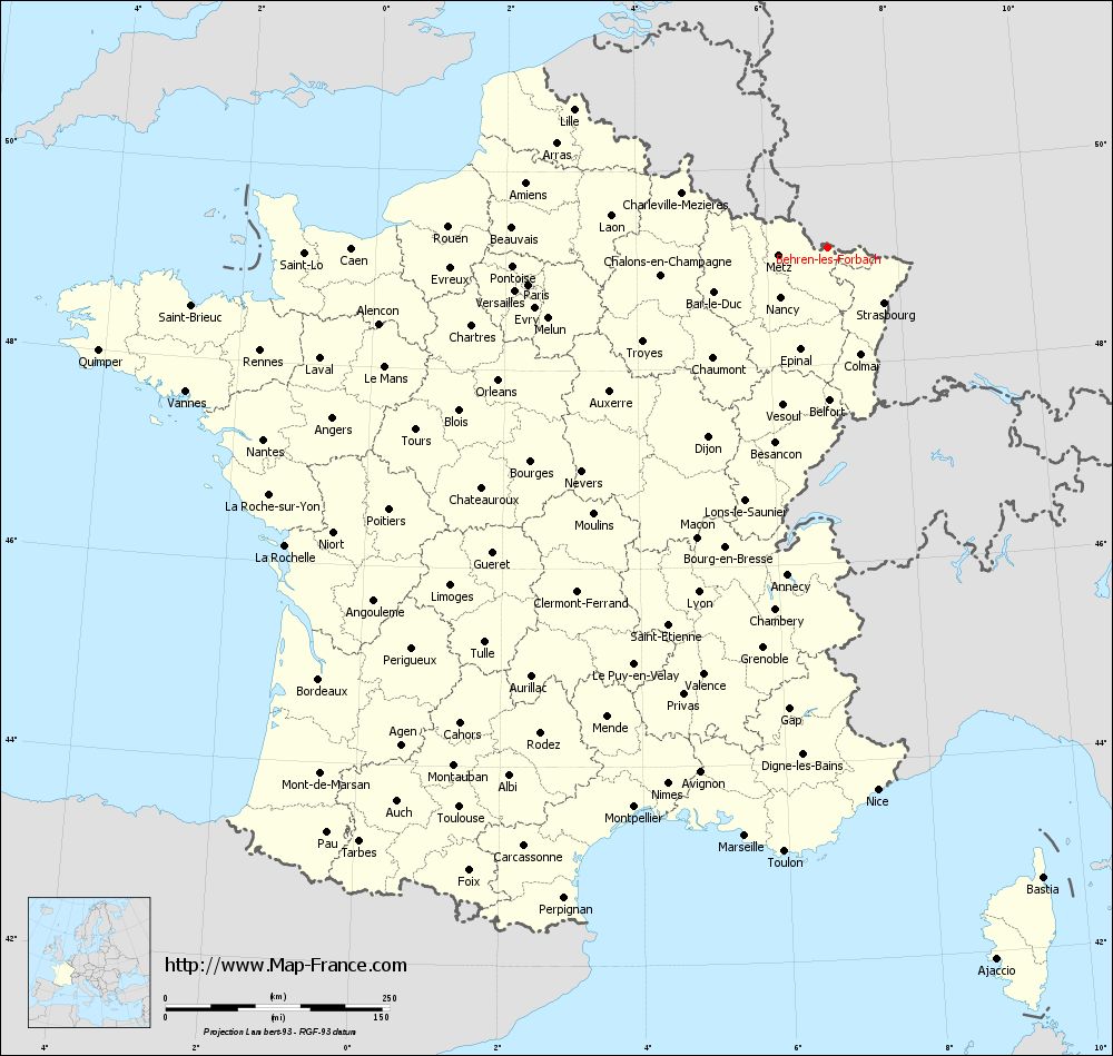
Voir la carte of Behren-lès-Forbach en grand format (1000 x 949)
|
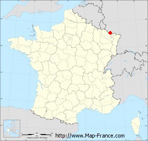
Here is the localization of Behren-lès-Forbach on the France map of departments in Lambert 93 coordinates. The city of Behren-lès-Forbach is shown on the map by a red point.
The city of Behren-lès-Forbach is located in the department of Moselle of the french region Lorraine.
The latitude of Behren-lès-Forbach is 49.164 degrees North.
The longitude of Behren-lès-Forbach is 6.944 degrees East.
Here the distance between Behren-lès-Forbach and the biggest cities of France:
Distances are calculated as the crow flies (orthodromic distance)
Distance between Behren-lès-Forbach and Paris : 336.74 kilometers
Distance between Behren-lès-Forbach and Marseille : 662.54 kilometers
Distance between Behren-lès-Forbach and Lyon : 410.08 kilometers
Distance between Behren-lès-Forbach and Toulouse : 747.58 kilometers
Distance between Behren-lès-Forbach and Nice : 606.94 kilometers
Distance between Behren-lès-Forbach and Nantes : 665.07 kilometers
Distance between Behren-lès-Forbach and Strasbourg : 87.58 kilometers
Distance between Behren-lès-Forbach and Montpellier : 660.44 kilometers
Distance between Behren-lès-Forbach and Bordeaux : 744.43 kilometers
Distance between Behren-lès-Forbach and Lille : 322.95 kilometers
Distance between Behren-lès-Forbach and Rennes : 643.66 kilometers
Distance between Behren-lès-Forbach and Reims : 211.66 kilometers
Clic here to see the map of Behren-lès-Forbach in full screen:
Behren-lès-Forbach on the map of french departments
|
This administrative map of Behren-lès-Forbach is reusable and modifiable by making a link to this page of the Map-France.com website or by using the given code :
|
Administrative base maps of Behren-lès-Forbach
|
See the administrative base map of Behren-lès-Forbach in full screen (1000 x 949)
|
Small administrative base map of Behren-lès-Forbach
|
This base map administrative of Behren-lès-Forbach is reusable and modifiable by making a link to this page of the Map-France.com website or by using the given code :
|
 French Version : http://www.cartesfrance.fr