|
The village of Bouër is a small village located north west of France. The town of Bouër is located in the department of Sarthe of the french region Pays de la Loire. The town of Bouër is located in the township of Tuffé part of the district of Mamers. The area code for Bouër is 72041 (also known as code INSEE), and the Bouër zip code is 72390.
Geography and map of Bouër :
The altitude of the city hall of Bouër is approximately 120 meters. The Bouër surface is 12.00 km ². The latitude and longitude of Bouër are 48.082 degrees North and 0.63 degrees East.
Nearby cities and towns of Bouër are :
Saint-Maixent (72320) at 1.94 km, Lavaré (72390) at 3.45 km, Le Luart (72390) at 3.53 km, Sceaux-sur-Huisne (72160) at 4.22 km, Dollon (72390) at 5.77 km, Vouvray-sur-Huisne (72160) at 5.90 km, Villaines-la-Gonais (72400) at 6.19 km, Semur-en-Vallon (72390) at 6.73 km.
(The distances to these nearby towns of Bouër are calculated as the crow flies)
Population and housing of Bouër :
The population of Bouër was 179 in 1999, 238 in 2006 and 250 in 2007. The population density of Bouër is 20.83 inhabitants per km². The number of housing of Bouër was 119 in 2007. These homes of Bouër consist of 100 main residences, 13 second or occasional homes and 6 vacant homes. |
|
|
Hotel Bouër
|
|
|
Book now ! Best Price Guaranteed, no booking fees, pay at the hotel with our partner Booking.com, leader in online hotel reservation.
Find all hotels of Bouër : Hotel Bouër
| |
|
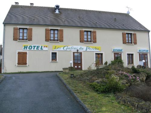
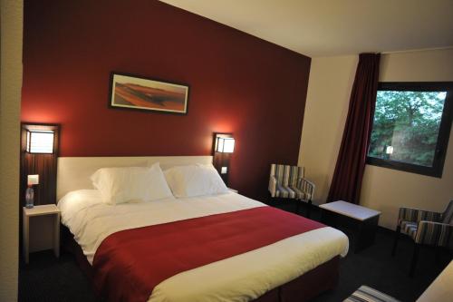
Hotel : Les Confins Du Perche

Confins Du Perche is located in the Sarthe village of Sceaux-Sur-Huisne. It offers free Wi-Fi internet and each guest room has a private bathroom and TV. The Confins Du Perche ...
Rate : from 69.00 €
to 104.00 €
Address : Avenue De Bretagne 72160 Sceaux-sur-Huisne
Distance Hotel - Bouër : 4.24 km
|
|
|
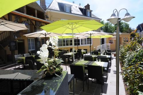
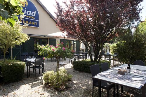
Hotel : Hôtel Saint Jacques
Hôtel Saint Jacques features a garden and a terrace in Thorigné-sur-Dué. This 3-star hotel offers free WiFi. There is a restaurant. At the hotel, all rooms are fitted with a wa...
Price : from 77.00 €
to 127.00 €
Contact : place du monument 72160 Thorigné-sur-Dué
Distance Hotel - Bouër : 8.19 km
|
|
|
Guest accommodation : Holiday Home St Michel d.Chavaignes with Fireplace I
Located in Thorigné-sur-Dué, Holiday Home St Michel d.Chavaignes with Fireplace I offers accommodation with a private pool and free WiFi. Guests staying at this holiday home hav...
Contact : 72440 Thorigné-sur-Dué
Distance Guest accommodation - Bouër : 8.45 km
|
|
|
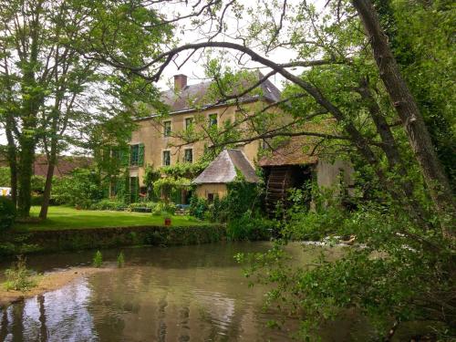
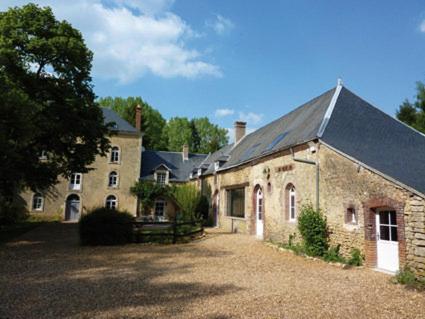
Bed and Breakfast : Moulin de Champrond - Sarthe
Featuring free WiFi and a hot tub, Le Moulin de la Ronce - Champrond - Sarthe offers accommodation in Les Pinardières. Free private parking is available on site. There is a gif...
Rate : from 95.00 €
to 130.00 €
Contact : Le Moulin de la Ronce 72320 Champrond
Distance Bed and Breakfast - Bouër : 8.72 km
|
|
|
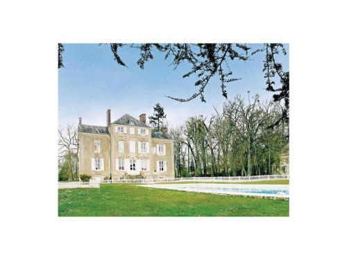
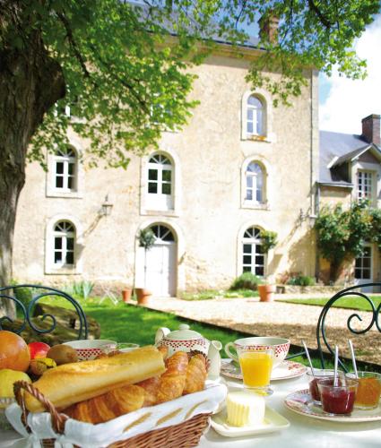
Bed and Breakfast : Château De Cheronne

Chateau de Cheronne is surrounded by a park with a lake and free Wi-Fi access is available throughout the chateau. The Chéronne River feeds the park’s the main pond, which serv...
Price : from 295.00 €
Address : Lieu-Dit Château De Cheronne 72160 Tuffé
Distance Bed and Breakfast - Bouër : 10.46 km
|
|
|
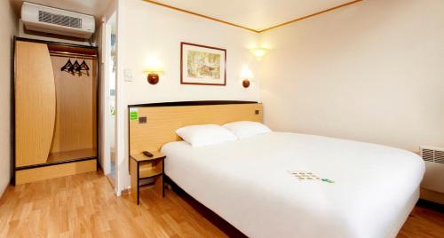
Hotel : Campanile La Ferté-Bernard
Located just a few kilometres away from the city centre of La Ferté-Bernard, this hotel will seduce you with its convivial atmosphere, its comfort and its prices. In the heart ...
Prices : from 54.00 €
to 70.00 €
Contact : Espace Du Lac 72400 La Ferté-Bernard
Distance Hotel - Bouër : 10.60 km
|
|
|
Hotel : Hôtel balladins La Ferté Bernard
Hôtel balladins La Ferté Bernard is 1.3 km from the centre of Cherré and 2.5 km from La Ferté-Bernard Train Station. It offers en suite rooms, free Wi-Fi access and a lift. All...
Rate : from 64.00 €
to 85.00 €
Contact : Face au Centre E. Leclerc 72400 Cherré
Distance Hotel - Bouër : 10.75 km
|
|
|
Hotel : Kyriad La Ferte Bernard
Situated 1 km from the centre of La Ferte-Bernard, this hotel offers low-cost accommodation, and a restaurant serving regional cuisine. The guest rooms are simply decorated and...
Price : from 59.00 €
to 84.00 €
Contact : 43, Boulevard General De Gaulle 72400 La Ferté-Bernard
Distance Hotel - Bouër : 10.98 km
|
|
|
Guest accommodation : Gite du Moulin du Pont D'Iverny
Located in Montmirail in a former 19th-Century mill, Gîte du Moulin du Pont d’Iverny offers a 1 hectare garden and fishing river. Le Mans is a 45-minute drive away. The cottage...
Prices : from 500.00 €
Address : Le Moulin Du Pont D'Iverny 72320 Montmirail
Distance Guest accommodation - Bouër : 12.16 km
|
|
|
Bed and Breakfast : Le Moulin du Pont d'Iverny
Located in Montmirail in a former 19th-Century mill, Le Moulin du Pont d’Iverny offers a 1 hectare garden, fishing river and shared living room with a fireplace. Le Mans is a 45...
Rate : from 120.00 €
to 185.00 €
Contact : Le Moulin du Pont d'Iverny 72320 Montmirail
Distance Bed and Breakfast - Bouër : 12.16 km
|
|
Find another hotel near Bouër : Bouër hotels list
|
Map of Bouër
|
|
Map of Bouër :
At right you can find the localization of Bouër on the map of France. Below, this is the satellite map of Bouër. A road map, and maps templates of Bouër are available here : "road map of Bouër". This map show Bouër seen by the satellite of Google Map. To see the streets of Bouër or move on another zone, use the buttons "zoom" and "map" on top of this dynamic map.
Search on the map of Bouër :
To search hotels, housings, tourist information office, administrations or other services, use the Google search integrated to the map on the following page : "map Bouër".
Hotels of Bouër are listed on the map with the following icons: 
The map of Bouër is centred in the following coordinates :
|

|
|
|
|
Print the map of Bouër

Print the map of Bouër : map of Bouër
|
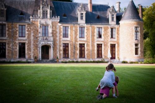
Photos Bouër
|
See all photos of Bouër :
Other photos of Bouër and nearby towns can be found here: photos Bouër
|
|
Bouër weather forecast
Find next hours and 7 days weather forecast for Bouër here : weather Bouër (with english metrics)
This is the last weather forecast for Bouër collected by the nearest observation station of Tuffé.
Week Forecast:
The latest weather data for Bouër were collected Friday, 31 July 2026 at 08:05 from the nearest observation station of Tuffé.
| Friday, July 31st |
27°C 17°C
0%
77%
|
Mostly cloudy
Temperature Max: 27°C Temperature Min: 17°C
Precipitation Probability: 0%
Percentage of sky occluded by clouds: 77%
Wind speed: 9 km/h South-East
Humidity: 61%° UV Index: 6
Sunrise: 06:32 Sunset: 21:35 |
|
| | Saturday, August 1st |
27°C 14°C
0%
52%
|
Partly cloudy
Temperature Max: 27°C Temperature Min: 14°C
Precipitation Probability: 0%
Percentage of sky occluded by clouds: 52%
Wind speed: 9 km/h South
Humidity: 48%° UV Index: 6
Sunrise: 06:33 Sunset: 21:34 |
|
| | Sunday, August 2nd |
30°C 14°C
0%
50%
|
Partly cloudy
Temperature Max: 30°C Temperature Min: 14°C
Precipitation Probability: 0%
Percentage of sky occluded by clouds: 50%
Wind speed: 11 km/h West
Humidity: 43%° UV Index: 6
Sunrise: 06:35 Sunset: 21:32 |
|
| | Monday, August 3rd |
32°C 19°C
30%
77%
|
Mostly cloudy
Temperature Max: 32°C Temperature Min: 19°C
Precipitation Probability: 30% (Rain)
Percentage of sky occluded by clouds: 77%
Wind speed: 13 km/h North
Humidity: 47%° UV Index: 5
Sunrise: 06:36 Sunset: 21:31 |
|
|
Attribution: 
|
|
Other maps, hotels and towns in france
Find another town, zip code, department, region, ...
Quick links Bouër :
Make a link to this page of Bouër with the following code :
|
|
|
 French Version : http://www.cartesfrance.fr/carte-france-ville/72041_Bouer.html