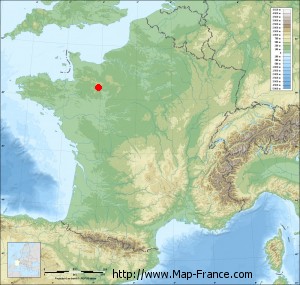
Boulay-les-Ifs on the relief France map in Lambert 93 coordinates
|

See the map of Boulay-les-Ifs in full screen (1000 x 949)
|
At left, here is the location of Boulay-les-Ifs on the relief France map in Lambert 93 coordinates.
Here are the altitudes of Boulay-les-Ifs :
- Town hall altitude of Boulay-les-Ifs is 220 meters
- Minimum altitude of Boulay-les-Ifs is 190 meters
- Maximum altitude of Boulay-les-Ifs is 393 meters
- Medium altitude of Boulay-les-Ifs is 292 meters
Here are the altitudes of Laval, prefecture of Mayenne department:
- Town hall altitude of Laval is 51 meters
- Minimum altitude of Laval is 42 meters
- Maximum altitude of Laval is 122 meters
- Medium altitude of Laval is 82 meters
Here are the altitudes of the french biggest cities:
Paris : 33 meters
Marseille : 20 meters
Lyon : 237 meters
Toulouse : 146 meters
Nice : 10 meters
Nantes : 20 meters
Strasbourg : 144 meters
Montpellier : 35 meters
Bordeaux : 16 meters
Lille : 20 meters
Rennes : 35 meters
Reims : 83 meters
Click here for the terrain map of Boulay-les-Ifs in full screen:
Relief map of Boulay-les-Ifs
|
This relief map of Boulay-les-Ifs is reusable and modifiable by making a link to this page of the Map-France.com website or by using the given code :
|
Terrain base map of Boulay-les-Ifs
|

See the terrain base map of Boulay-les-Ifs in full screen (1000 x 949)
|
Small relief base map of Boulay-les-Ifs
|
This base map of Boulay-les-Ifs is reusable and modifiable by making a link to this page of the Map-France.com website or by using the given code :
|
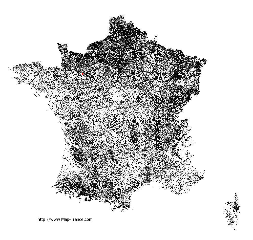
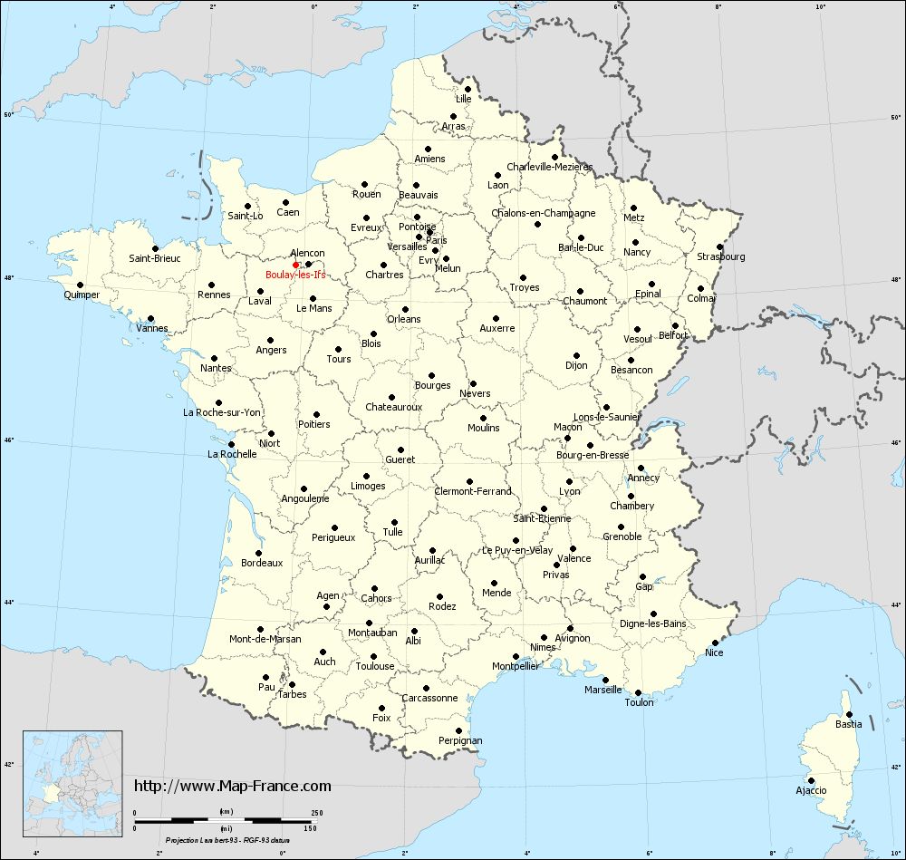
Map of Boulay-les-Ifs with regions and prefectures
|
View the map of Boulay-les-Ifs in full screen (1000 x 949)
|
You will find the location of Boulay-les-Ifs on the map of France of regions in Lambert 93 coordinates. The town of Boulay-les-Ifs is located in the department of Mayenne of the french region Pays de la Loire.
Geographical sexagesimal coordinates / GPS (WGS84):
Latitude: 48° 25' 13'' North
Longitude: 00° 07' 57'' West
Geographical decimal coordinates :
Latitude: 48.421 degrees (48.421° North)
Longitude: -0.132 degrees (0.132° West)
Lambert 93 coordinates :
X: 4 683 hectometers
Y: 68 179 hectometers
Lambert 2 coordinates :
X: 4 172 hectometers
Y: 23 830 hectometers
Below, the geographical coordinates of Laval, prefecture of the Mayenne department:
Geographical sexagesimal coordinates / GPS (WGS84):
Latitude: 48° 04' 22'' North
Longitude: 00° 46' 12'' West
Geographical decimal coordinates :
Latitude: 48.072 degrees (48.072° North)
Longitude: -0.773 degrees (0.773° West)
Lambert 93 coordinates :
X: 4 193 hectometers
Y: 67 814 hectometers
Lambert 2 coordinates :
X: 3 685 hectometers
Y: 23 461 hectometers
|
This map of Boulay-les-Ifs is reusable and modifiable by making a link to this page of the Map-France.com website or by using the given code :
|
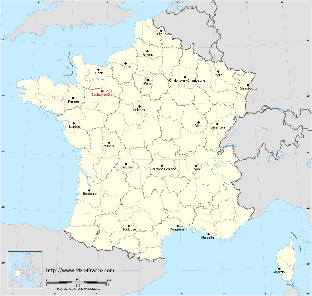
Map of Boulay-les-Ifs with departments and prefectures
|
Voir la carte of Boulay-les-Ifs en grand format (1000 x 949)
|
Here is the localization of Boulay-les-Ifs on the France map of departments in Lambert 93 coordinates. The city of Boulay-les-Ifs is shown on the map by a red point.
The town of Boulay-les-Ifs is located in the department of Mayenne of the french region Pays de la Loire.
The latitude of Boulay-les-Ifs is 48.421 degrees North.
The longitude of Boulay-les-Ifs is 0.132 degrees West.
Here the distance between Boulay-les-Ifs and the biggest cities of France:
Distances are calculated as the crow flies (orthodromic distance)
Distance between Boulay-les-Ifs and Paris : 188.31 kilometers
Distance between Boulay-les-Ifs and Marseille : 711.82 kilometers
Distance between Boulay-les-Ifs and Lyon : 477.95 kilometers
Distance between Boulay-les-Ifs and Toulouse : 549.39 kilometers
Distance between Boulay-les-Ifs and Nice : 773.55 kilometers
Distance between Boulay-les-Ifs and Nantes : 170.58 kilometers
Distance between Boulay-les-Ifs and Strasbourg : 580.68 kilometers
Distance between Boulay-les-Ifs and Montpellier : 617.4 kilometers
Distance between Boulay-les-Ifs and Bordeaux : 399.01 kilometers
Distance between Boulay-les-Ifs and Lille : 335.48 kilometers
Distance between Boulay-les-Ifs and Rennes : 119.72 kilometers
Distance between Boulay-les-Ifs and Reims : 318.26 kilometers
Clic here to see the map of Boulay-les-Ifs in full screen:
Boulay-les-Ifs on the map of french departments
|
This administrative map of Boulay-les-Ifs is reusable and modifiable by making a link to this page of the Map-France.com website or by using the given code :
|
Administrative base maps of Boulay-les-Ifs
|

See the administrative base map of Boulay-les-Ifs in full screen (1000 x 949)
|
Small administrative base map of Boulay-les-Ifs

|
This base map administrative of Boulay-les-Ifs is reusable and modifiable by making a link to this page of the Map-France.com website or by using the given code :
|
 French Version : http://www.cartesfrance.fr