Bourg-lès-Valence on the relief France map in Lambert 93 coordinates
|

See the map of Bourg-lès-Valence in full screen (1000 x 949)
|
At left, here is the location of Bourg-lès-Valence on the relief France map in Lambert 93 coordinates.
Here are the altitudes of Bourg-lès-Valence :
- Town hall altitude of Bourg-lès-Valence is 125 meters
- Minimum altitude of Bourg-lès-Valence is 99 meters
- Maximum altitude of Bourg-lès-Valence is 200 meters
- Medium altitude of Bourg-lès-Valence is 150 meters
Here are the altitudes of Valence, prefecture of Drôme department:
- Town hall altitude of Valence is 126 meters
- Minimum altitude of Valence is 106 meters
- Maximum altitude of Valence is 191 meters
- Medium altitude of Valence is 149 meters
Here are the altitudes of the french biggest cities:
Paris : 33 meters
Marseille : 20 meters
Lyon : 237 meters
Toulouse : 146 meters
Nice : 10 meters
Nantes : 20 meters
Strasbourg : 144 meters
Montpellier : 35 meters
Bordeaux : 16 meters
Lille : 20 meters
Rennes : 35 meters
Reims : 83 meters
Click here for the terrain map of Bourg-lès-Valence in full screen:
Relief map of Bourg-lès-Valence
|
This relief map of Bourg-lès-Valence is reusable and modifiable by making a link to this page of the Map-France.com website or by using the given code :
|
Terrain base map of Bourg-lès-Valence
|

See the terrain base map of Bourg-lès-Valence in full screen (1000 x 949)
|
Small relief base map of Bourg-lès-Valence

|
This base map of Bourg-lès-Valence is reusable and modifiable by making a link to this page of the Map-France.com website or by using the given code :
|
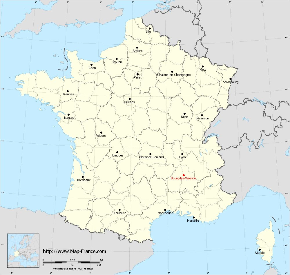
Map of Bourg-lès-Valence with regions and prefectures
|
View the map of Bourg-lès-Valence in full screen (1000 x 949)
|
You will find the location of Bourg-lès-Valence on the map of France of regions in Lambert 93 coordinates. The city of Bourg-lès-Valence is located in the department of Drôme of the french region Rhône-Alpes.
Geographical sexagesimal coordinates / GPS (WGS84):
Latitude: 44° 56' 51'' North
Longitude: 04° 53' 43'' East
Geographical decimal coordinates :
Latitude: 44.944 degrees (44.944° North)
Longitude: 4.892 degrees (4.892° East)
Lambert 93 coordinates :
X: 8 495 hectometers
Y: 64 294 hectometers
Lambert 2 coordinates :
X: 8 020 hectometers
Y: 19 974 hectometers
Below, the geographical coordinates of Valence, prefecture of the Drôme department:
Geographical sexagesimal coordinates / GPS (WGS84):
Latitude: 44° 55' 57'' North
Longitude: 04° 53' 27'' East
Geographical decimal coordinates :
Latitude: 44.927 degrees (44.927° North)
Longitude: 4.895 degrees (4.895° East)
Lambert 93 coordinates :
X: 8 492 hectometers
Y: 64 277 hectometers
Lambert 2 coordinates :
X: 8 017 hectometers
Y: 19 957 hectometers
|
This map of Bourg-lès-Valence is reusable and modifiable by making a link to this page of the Map-France.com website or by using the given code :
|
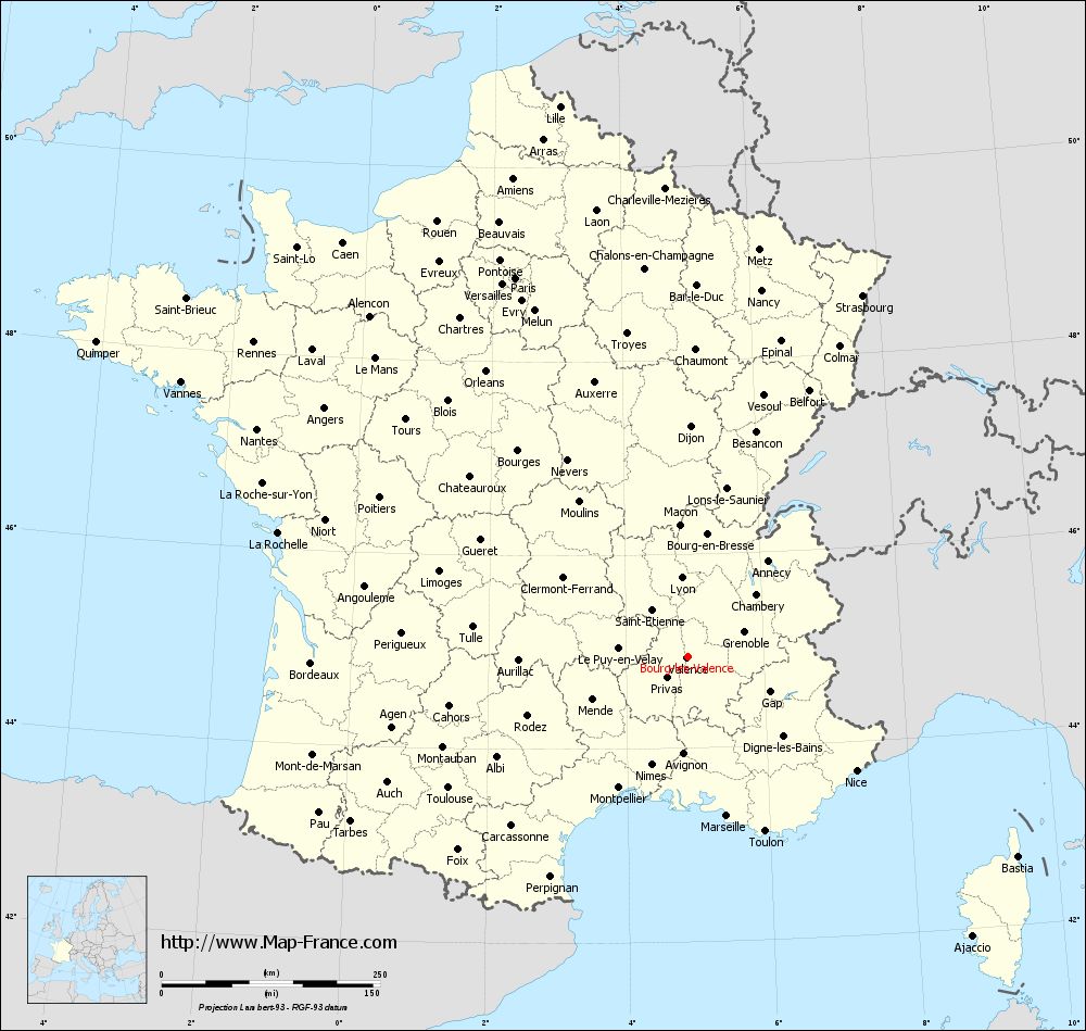
Map of Bourg-lès-Valence with departments and prefectures
|
Voir la carte of Bourg-lès-Valence en grand format (1000 x 949)
|
Here is the localization of Bourg-lès-Valence on the France map of departments in Lambert 93 coordinates. The city of Bourg-lès-Valence is shown on the map by a red point.
The city of Bourg-lès-Valence is located in the department of Drôme of the french region Rhône-Alpes.
The latitude of Bourg-lès-Valence is 44.944 degrees North.
The longitude of Bourg-lès-Valence is 4.892 degrees East.
Here the distance between Bourg-lès-Valence and the biggest cities of France:
Distances are calculated as the crow flies (orthodromic distance)
Distance between Bourg-lès-Valence and Paris : 476.11 kilometers
Distance between Bourg-lès-Valence and Marseille : 187.35 kilometers
Distance between Bourg-lès-Valence and Lyon : 90.76 kilometers
Distance between Bourg-lès-Valence and Toulouse : 311.81 kilometers
Distance between Bourg-lès-Valence and Nice : 233.25 kilometers
Distance between Bourg-lès-Valence and Nantes : 557.12 kilometers
Distance between Bourg-lès-Valence and Strasbourg : 459.41 kilometers
Distance between Bourg-lès-Valence and Montpellier : 168.97 kilometers
Distance between Bourg-lès-Valence and Bordeaux : 430.35 kilometers
Distance between Bourg-lès-Valence and Lille : 646.37 kilometers
Distance between Bourg-lès-Valence and Rennes : 612.82 kilometers
Distance between Bourg-lès-Valence and Reims : 483.72 kilometers
Clic here to see the map of Bourg-lès-Valence in full screen:
Bourg-lès-Valence on the map of french departments
|
This administrative map of Bourg-lès-Valence is reusable and modifiable by making a link to this page of the Map-France.com website or by using the given code :
|
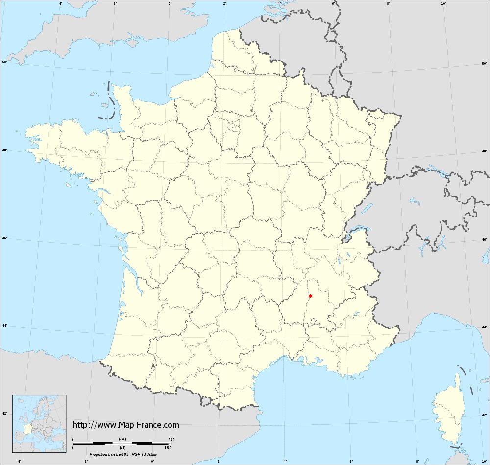
Administrative base maps of Bourg-lès-Valence
|
See the administrative base map of Bourg-lès-Valence in full screen (1000 x 949)
|
Small administrative base map of Bourg-lès-Valence
|
This base map administrative of Bourg-lès-Valence is reusable and modifiable by making a link to this page of the Map-France.com website or by using the given code :
|
 French Version : http://www.cartesfrance.fr