Map of France

Bruyères-le-Châtel photos


Find a town, a zip code,
a department, a region... in France
I like Map-France.com !


Bruyères-le-Châtel pictures


Here are the photos of the city of Bruyères-le-Châtel and nearby towns. Bruyères-le-Châtel is located in the department of Essonne in the region of Île-de-France. You will find the satellite map of Bruyères-le-Châtel under these photos.

To see photos of nearby towns of Bruyères-le-Châtel, you can try the following links :
   - Pictures of Ollainville (91290) : town located at 2.47 km
   - Pictures of Courson-Monteloup (91680) : town located at 2.89 km
   - Pictures of Égly (91520) : town located at 3.08 km
   - Pictures of Breuillet (91650) : town located at 3.15 km
   - Pictures of Fontenay-lès-Briis (91640) : town located at 3.61 km
   - Pictures of Breux-Jouy (91650) : town located at 3.61 km
   - Pictures of Saint-Yon (91650) : town located at 3.80 km
   - Pictures of Boissy-sous-Saint-Yon (91790) : town located at 4.22 km
   - Pictures of Arpajon (91290) : town located at 4.62 km
   - Pictures of Saint-Maurice-Montcouronne (91530) : town located at 4.85 km
   - Pictures of Vaugrigneuse (91640) : town located at 5.01 km
   - Pictures of La Norville (91290) : town located at 5.58 km

 - photos of the department prefecture of Essonne : photos of Évry
 - pictures of others cities of Essonne : Essonne


To see Bruyères-le-Châtel from the sky, here is the satellite map of the city of Bruyères-le-Châtel : Bruyères-le-Châtel map.

I like Bruyères-le-Châtel !


Photos of the city of Bruyères-le-Châtel

These photos taken near the city of Bruyères-le-Châtel can be shown in full screen clicking on the thumbnails. Photos are copyrighted by their owners.

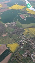
Aerial view of Les Ulis on the outskirts of Paris from an aeroplane on approach to Paris-Orly Airport, France - Photo of Bruyères-le-Châtel
Aerial view of Les Ulis on the outskirts of Paris from an aeroplane on approach to Paris-Orly Airport, France

View of village on approach to Paris-Orly Airport, France - Photo of Bruyères-le-Châtel
View of village on approach to Paris-Orly Airport, France

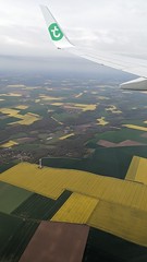
View of farms on approach to Paris-Orly Airport, France - Photo of Bruyères-le-Châtel
View of farms on approach to Paris-Orly Airport, France

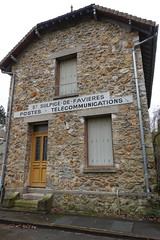
PTT - Photo of Bruyères-le-Châtel
PTT

Autoportrait à la fête de l-Huma 2023 - Photo of Bruyères-le-Châtel
Autoportrait à la fête de l-Huma 2023

War memorial - Photo of Bruyères-le-Châtel
War memorial

Water well - Photo of Bruyères-le-Châtel
Water well

Cimetière de Saint-Yon - Photo of Bruyères-le-Châtel
Cimetière de Saint-Yon

A Eglise - Photo of Bruyères-le-Châtel
A Eglise

Dump - Photo of Bruyères-le-Châtel
Dump

Camping in transition - Photo of Bruyères-le-Châtel
Camping in transition

Abandoned bathhouse - Photo of Bruyères-le-Châtel
Abandoned bathhouse

Stones - Photo of Bruyères-le-Châtel
Stones

Camping in transition - Photo of Bruyères-le-Châtel
Camping in transition


Bruyères-le-Châtel from the sky


Old photos of the city of Bruyères-le-Châtel

These photos taken near the city of Bruyères-le-Châtel can be shown in full screen clicking on the thumbnails. Photos are copyrighted by their owners.


Other maps, hotels and towns in france


Find another town, zip code, department, region, ...


Quick links Bruyères-le-Châtel :


Back to the menus Map of France :


Make a link to this page of Bruyères-le-Châtel with the following code :


Map of France | Regions | Departments | Cities | Partners | Terms | Contact