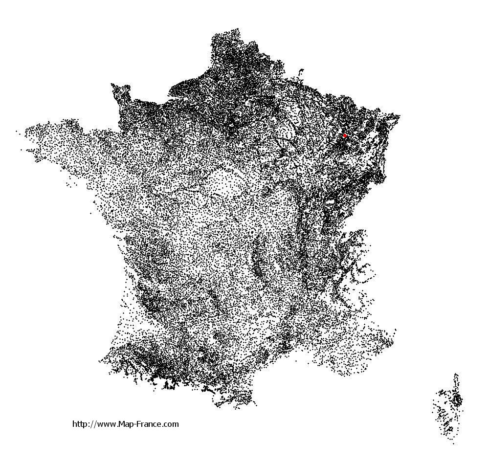
Burthecourt-aux-Chênes on the relief France map in Lambert 93 coordinates
|

See the map of Burthecourt-aux-Chênes in full screen (1000 x 949)
|
At left, here is the location of Burthecourt-aux-Chênes on the relief France map in Lambert 93 coordinates.
Here are the altitudes of Burthecourt-aux-Chênes :
- Town hall altitude of Burthecourt-aux-Chênes is 310 meters
- Minimum altitude of Burthecourt-aux-Chênes is 228 meters
- Maximum altitude of Burthecourt-aux-Chênes is 350 meters
- Medium altitude of Burthecourt-aux-Chênes is 289 meters
Here are the altitudes of Nancy, prefecture of Meurthe-et-Moselle department:
- Town hall altitude of Nancy is 222 meters
- Minimum altitude of Nancy is 188 meters
- Maximum altitude of Nancy is 353 meters
- Medium altitude of Nancy is 271 meters
Here are the altitudes of the french biggest cities:
Paris : 33 meters
Marseille : 20 meters
Lyon : 237 meters
Toulouse : 146 meters
Nice : 10 meters
Nantes : 20 meters
Strasbourg : 144 meters
Montpellier : 35 meters
Bordeaux : 16 meters
Lille : 20 meters
Rennes : 35 meters
Reims : 83 meters
Click here for the terrain map of Burthecourt-aux-Chênes in full screen:
Relief map of Burthecourt-aux-Chênes
|
This relief map of Burthecourt-aux-Chênes is reusable and modifiable by making a link to this page of the Map-France.com website or by using the given code :
|
Terrain base map of Burthecourt-aux-Chênes
|

See the terrain base map of Burthecourt-aux-Chênes in full screen (1000 x 949)
|
Small relief base map of Burthecourt-aux-Chênes

|
This base map of Burthecourt-aux-Chênes is reusable and modifiable by making a link to this page of the Map-France.com website or by using the given code :
|
Map of Burthecourt-aux-Chênes with regions and prefectures
|
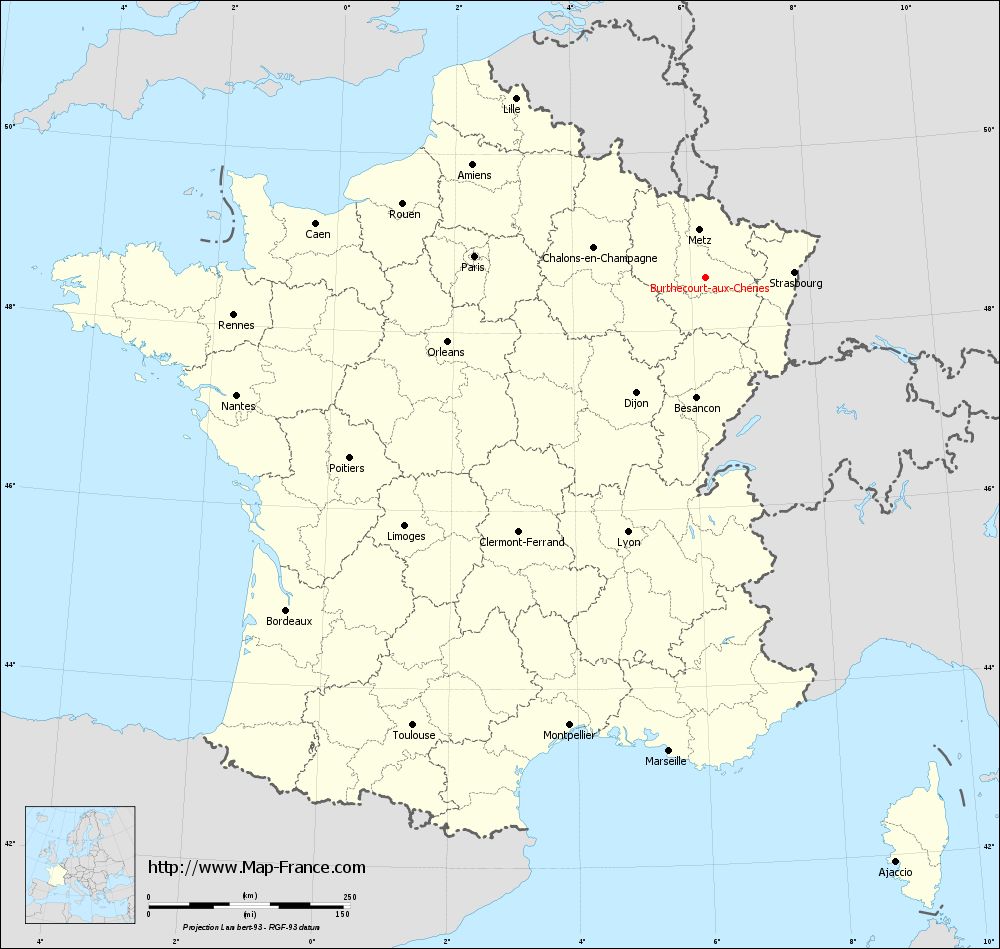
View the map of Burthecourt-aux-Chênes in full screen (1000 x 949)
|
You will find the location of Burthecourt-aux-Chênes on the map of France of regions in Lambert 93 coordinates. The town of Burthecourt-aux-Chênes is located in the department of Meurthe-et-Moselle of the french region Lorraine.
Geographical sexagesimal coordinates / GPS (WGS84):
Latitude: 48° 35' 06'' North
Longitude: 06° 14' 58'' East
Geographical decimal coordinates :
Latitude: 48.584 degrees (48.584° North)
Longitude: 6.248 degrees (6.248° East)
Lambert 93 coordinates :
X: 9 396 hectometers
Y: 68 366 hectometers
Lambert 2 coordinates :
X: 8 887 hectometers
Y: 24 057 hectometers
Below, the geographical coordinates of Nancy, prefecture of the Meurthe-et-Moselle department:
Geographical sexagesimal coordinates / GPS (WGS84):
Latitude: 48° 41' 34'' North
Longitude: 06° 11' 01'' East
Geographical decimal coordinates :
Latitude: 48.69 degrees (48.69° North)
Longitude: 6.174 degrees (6.174° East)
Lambert 93 coordinates :
X: 9 343 hectometers
Y: 68 483 hectometers
Lambert 2 coordinates :
X: 8 832 hectometers
Y: 24 174 hectometers
|
This map of Burthecourt-aux-Chênes is reusable and modifiable by making a link to this page of the Map-France.com website or by using the given code :
|
Map of Burthecourt-aux-Chênes with departments and prefectures
|
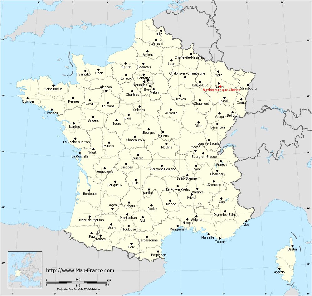
Voir la carte of Burthecourt-aux-Chênes en grand format (1000 x 949)
|
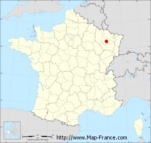
Here is the localization of Burthecourt-aux-Chênes on the France map of departments in Lambert 93 coordinates. The city of Burthecourt-aux-Chênes is shown on the map by a red point.
The town of Burthecourt-aux-Chênes is located in the department of Meurthe-et-Moselle of the french region Lorraine.
The latitude of Burthecourt-aux-Chênes is 48.584 degrees North.
The longitude of Burthecourt-aux-Chênes is 6.248 degrees East.
Here the distance between Burthecourt-aux-Chênes and the biggest cities of France:
Distances are calculated as the crow flies (orthodromic distance)
Distance between Burthecourt-aux-Chênes and Paris : 287.66 kilometers
Distance between Burthecourt-aux-Chênes and Marseille : 591.03 kilometers
Distance between Burthecourt-aux-Chênes and Lyon : 331.45 kilometers
Distance between Burthecourt-aux-Chênes and Toulouse : 665.54 kilometers
Distance between Burthecourt-aux-Chênes and Nice : 547.56 kilometers
Distance between Burthecourt-aux-Chênes and Nantes : 600.32 kilometers
Distance between Burthecourt-aux-Chênes and Strasbourg : 110.79 kilometers
Distance between Burthecourt-aux-Chênes and Montpellier : 582.19 kilometers
Distance between Burthecourt-aux-Chênes and Bordeaux : 665.12 kilometers
Distance between Burthecourt-aux-Chênes and Lille : 323.63 kilometers
Distance between Burthecourt-aux-Chênes and Rennes : 587.61 kilometers
Distance between Burthecourt-aux-Chênes and Reims : 178.32 kilometers
Clic here to see the map of Burthecourt-aux-Chênes in full screen:
Burthecourt-aux-Chênes on the map of french departments
|
This administrative map of Burthecourt-aux-Chênes is reusable and modifiable by making a link to this page of the Map-France.com website or by using the given code :
|
Administrative base maps of Burthecourt-aux-Chênes
|
See the administrative base map of Burthecourt-aux-Chênes in full screen (1000 x 949)
|
Small administrative base map of Burthecourt-aux-Chênes
|
This base map administrative of Burthecourt-aux-Chênes is reusable and modifiable by making a link to this page of the Map-France.com website or by using the given code :
|
 French Version : http://www.cartesfrance.fr