|
The village of Bussu is a small village located north of France. The town of Bussu is located in the department of Somme of the french region Picardie. The town of Bussu is located in the township of Péronne part of the district of Péronne. The area code for Bussu is 80154 (also known as code INSEE), and the Bussu zip code is 80200.
Geography and map of Bussu :
The altitude of the city hall of Bussu is approximately 75 meters. The Bussu surface is 6.79 km ². The latitude and longitude of Bussu are 49.946 degrees North and 2.977 degrees East.
Nearby cities and towns of Bussu are :
Aizecourt-le-Haut (80200) at 2.08 km, Doingt (80200) at 2.55 km, Driencourt (80240) at 2.67 km, Allaines (80200) at 3.00 km, Buire-Courcelles (80200) at 3.31 km, Péronne (80200) at 3.39 km, Cartigny (80200) at 4.19 km, Templeux-la-Fosse (80240) at 4.26 km.
(The distances to these nearby towns of Bussu are calculated as the crow flies)
Population and housing of Bussu :
The population of Bussu was 229 in 1999, 216 in 2006 and 216 in 2007. The population density of Bussu is 31.81 inhabitants per km². The number of housing of Bussu was 104 in 2007. These homes of Bussu consist of 92 main residences, 5 second or occasional homes and 7 vacant homes. |
|
|
Hotel Bussu
|
|
|
Book now ! Best Price Guaranteed, no booking fees, pay at the hotel with our partner Booking.com, leader in online hotel reservation.
Find all hotels of Bussu : Hotel Bussu
| |
|
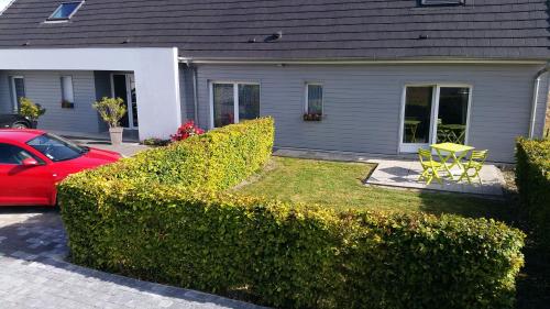
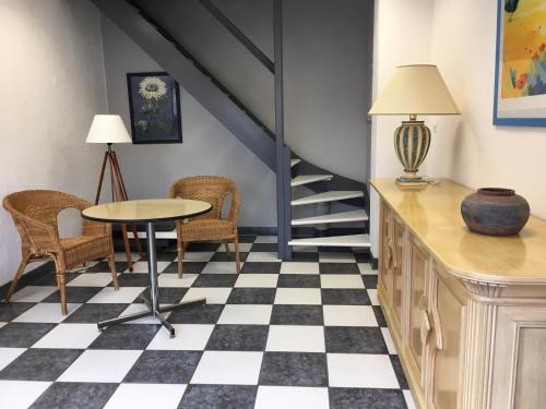
Guest accommodation : Camping Le Brochet

Situated within 1 km of Museum of the Great War in Péronne, Camping Le Brochet provides accommodation with a kitchen. Complimentary WiFi is offered. A microwave, a fridge and s...
Address : 88 Rue Georges Clémenceau 80200 Péronne
Distance Guest accommodation - Bussu : 2.88 km
|
|
|
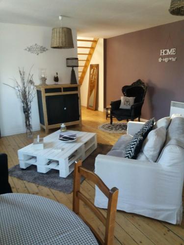
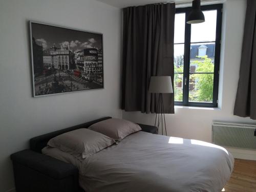
Apartment : Résidence les Charmilles
Located in Péronne, Résidence les Charmilles offers accommodation 1.7 km from Museum of the Great War and 1.7 km from Museum of the Great War. Free WiFi is offered. Each unit i...
Price : from 59.00 €
to 65.00 €
Contact : 4 rue Jean-Jacques Rousseau, Doingt Flamicourt 80200 Péronne
Distance Apartment - Bussu : 3.05 km
|
|
|
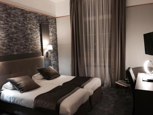
Hostel : Auberge des Remparts
Auberge des Remparts is situated in Péronne, 700 metres from Museum of the Great War, and features a terrace, a shared lounge and a bar. All rooms are equipped with a flat-scree...
Prices : from 37.00 €
to 129.00 €
Contact : 17 rue beaubois 80200 Péronne
Distance Hostel - Bussu : 3.26 km
|
|
|
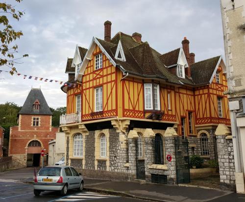
Bed and Breakfast : La Porte De Bretagne
La Porte De Bretagne offers accommodation in Péronne. Free WiFi is featured throughout the property and free private parking is available on site. Some units have a private bat...
Rate : from 85.00 €
to 95.00 €
Contact : 50 Rue Saint-Sauveur 80200 Péronne
Distance Bed and Breakfast - Bussu : 3.29 km
|
|
|
Bed and Breakfast : Le Coq En Pate
Offering a seasonal outdoor pool and barbecue, Le Coq En Pate is set in Flamicourt, Péronne. Free private parking is available on site. Both apartments include a seating area w...
Price : from 70.00 €
to 110.00 €
Address : 20 rue Jules Ferry (Flamicourt) 80200 Flamicourt
Distance Bed and Breakfast - Bussu : 3.45 km
|
|
|
Apartment : Le Clemenceau
Located 300 metres from Museum of the Great War, LE CLEMENCEAU offers accommodation in Péronne. This studio features a living room with a TV, a kitchenette and a bathroom fitte...
Prices : from 68.00 €
Contact : 28 RUE GEORGE CLEMENCEAU 80200 Péronne
Distance Apartment - Bussu : 3.48 km
|
|
|
Guest accommodation : Som-home
Som-home is located in the centre of Péronne and offers self-catering accommodation with views of the town. Free WiFi access is available. The property is 200 metres from Museum...
Rate : from 69.00 €
to 95.00 €
Contact : 14, place du Commandant Louis Daudré 80200 Péronne
Distance Guest accommodation - Bussu : 3.55 km
|
|
|
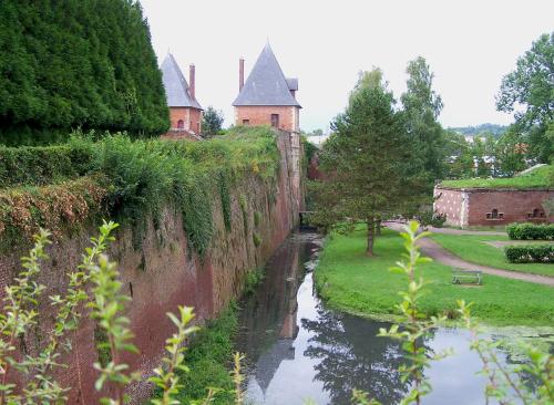
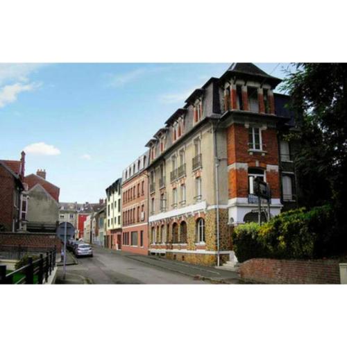
Hotel : Best Western Hotel Saint Claude
Hotel Saint Claude is located in the city centre of Péronne, between a 16th-century castle and the Great War museum. It offers 40 comfortable and soundproofed rooms that are al...
Price : from 55.25 €
to 131.00 €
Contact : 42 Place Louis Daudre 80200 Péronne
Distance Hotel - Bussu : 3.66 km
|
|
|
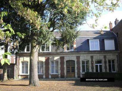
Bed and Breakfast : Chambres d'Hotes Noir Lion
A B&B located 13.5 km from Haute-Picardie Train Station, Chambres d'Hotes Noir Lion offers rooms with a flat-screen TV, and Wi-Fi is free of charge throughout the property. The...
Prices : from 55.00 €
to 81.00 €
Address : 16 rue du Noir Lion 80200 Péronne
Distance Bed and Breakfast - Bussu : 3.85 km
|
|
|
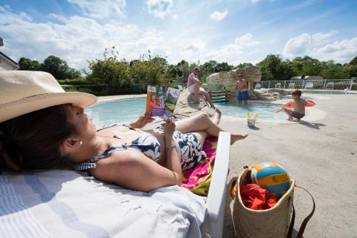
Guest accommodation : Camping Du Port De Plaisance
Located in the heart of Picardie and along the Somme river, Camping Du Port De Plaisance features an outdoor swimming pool. It offers bungalow accommodation, a launderette and a...
Contact : Route De Paris 80200 Péronne
Distance Guest accommodation - Bussu : 4.50 km
|
|
Find another hotel near Bussu : Bussu hotels list
|
Map of Bussu
|
|
Map of Bussu :
At right you can find the localization of Bussu on the map of France. Below, this is the satellite map of Bussu. A road map, and maps templates of Bussu are available here : "road map of Bussu". This map show Bussu seen by the satellite of Google Map. To see the streets of Bussu or move on another zone, use the buttons "zoom" and "map" on top of this dynamic map.
Search on the map of Bussu :
To search hotels, housings, tourist information office, administrations or other services, use the Google search integrated to the map on the following page : "map Bussu".
Hotels of Bussu are listed on the map with the following icons: 
The map of Bussu is centred in the following coordinates :
|

|
|
|
|
Print the map of Bussu

Print the map of Bussu : map of Bussu
|
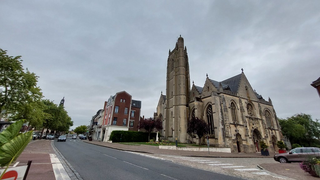
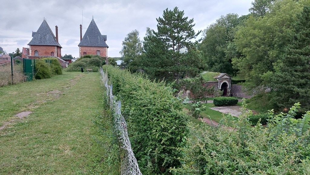
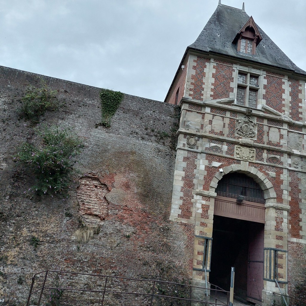
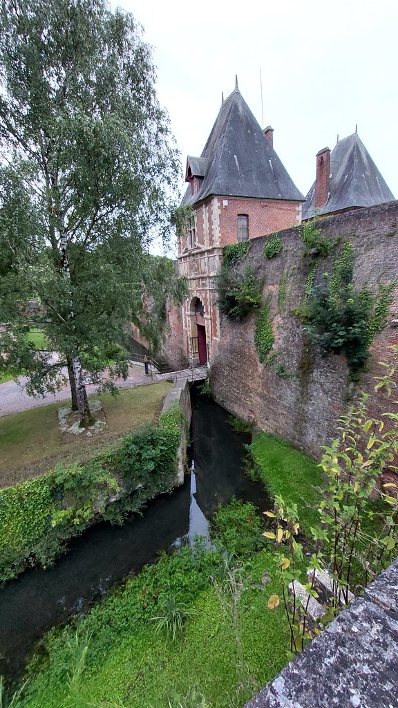
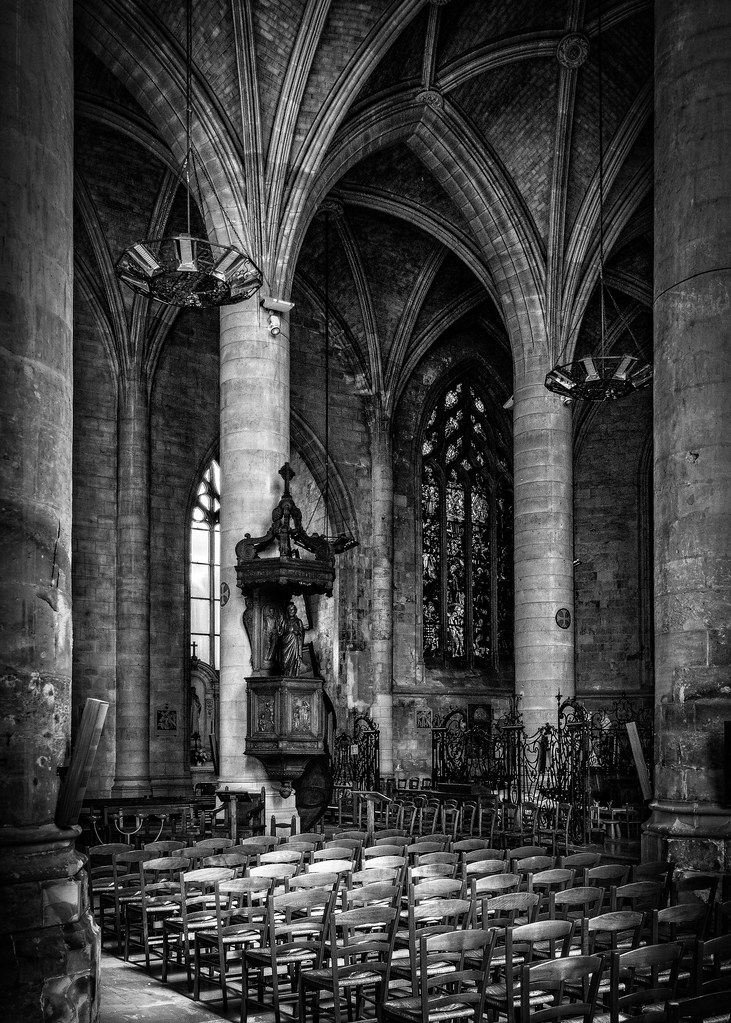
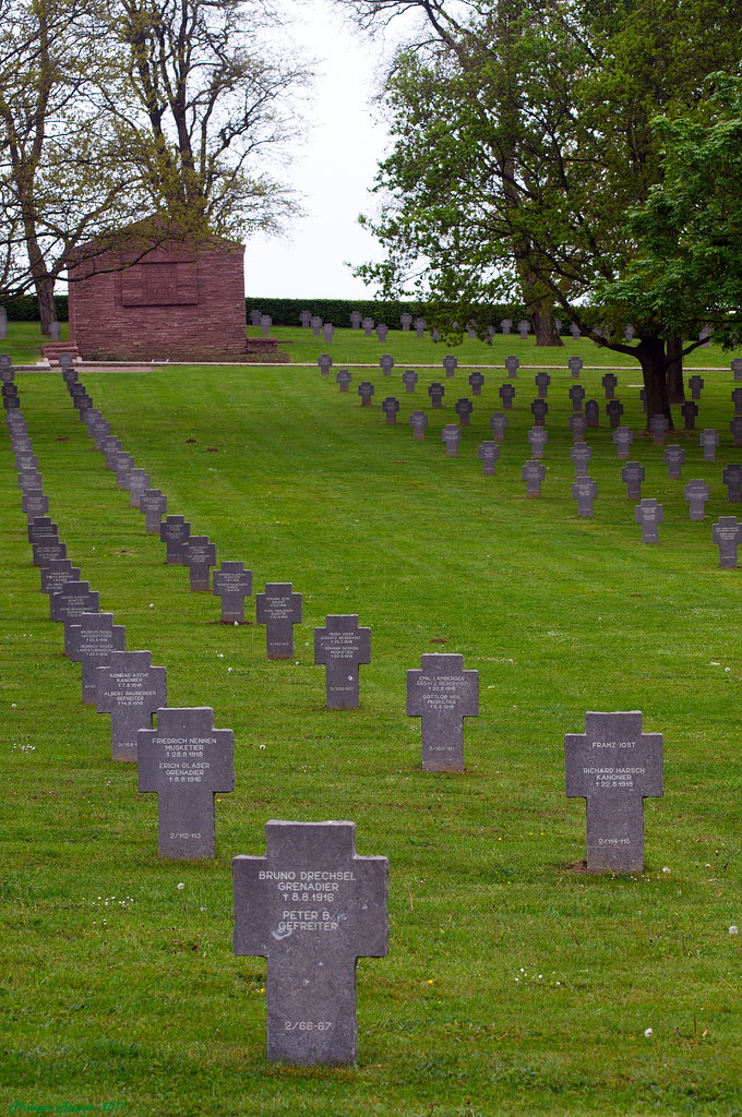
Photos Bussu
|
See all photos of Bussu :
Other photos of Bussu and nearby towns can be found here: photos Bussu
|
|
Bussu weather forecast
Find next hours and 7 days weather forecast for Bussu here : weather Bussu (with english metrics)
This is the last weather forecast for Bussu collected by the nearest observation station of Péronne.
Week Forecast:
The latest weather data for Bussu were collected Friday, 31 July 2026 at 08:05 from the nearest observation station of Péronne.
| Friday, July 31st |
27°C 16°C
56%
85%
|
Drizzle
Temperature Max: 27°C Temperature Min: 16°C
Precipitation Probability: 56% (Rain)
Percentage of sky occluded by clouds: 85%
Wind speed: 13 km/h East
Humidity: 62%° UV Index: 5
Sunrise: 06:16 Sunset: 21:32 |
|
| | Saturday, August 1st |
26°C 14°C
0%
37%
|
Mostly clear
Temperature Max: 26°C Temperature Min: 14°C
Precipitation Probability: 0%
Percentage of sky occluded by clouds: 37%
Wind speed: 8 km/h South
Humidity: 50%° UV Index: 6
Sunrise: 06:18 Sunset: 21:30 |
|
| | Sunday, August 2nd |
28°C 14°C
0%
24%
|
Mostly clear
Temperature Max: 28°C Temperature Min: 14°C
Precipitation Probability: 0%
Percentage of sky occluded by clouds: 24%
Wind speed: 12 km/h Sout-East
Humidity: 44%° UV Index: 7
Sunrise: 06:19 Sunset: 21:29 |
|
| | Monday, August 3rd |
31°C 16°C
18%
71%
|
Mostly cloudy
Temperature Max: 31°C Temperature Min: 16°C
Precipitation Probability: 18% (Rain)
Percentage of sky occluded by clouds: 71%
Wind speed: 6 km/h Sout-East
Humidity: 48%° UV Index: 4
Sunrise: 06:20 Sunset: 21:27 |
|
|
Attribution: 
|
|
Other maps, hotels and towns in france
Find another town, zip code, department, region, ...
Quick links Bussu :
Make a link to this page of Bussu with the following code :
|
|
|
 French Version : http://www.cartesfrance.fr/carte-france-ville/80154_Bussu.html