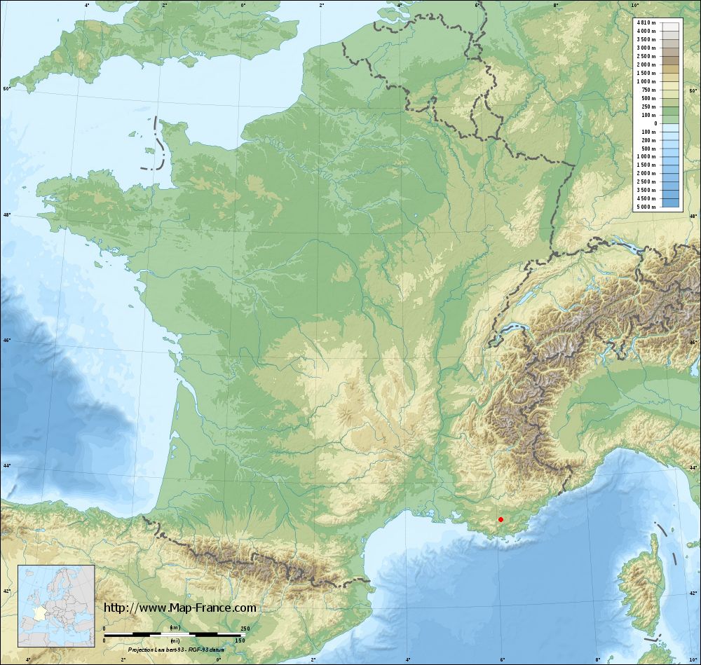
Camps-la-Source on the relief France map in Lambert 93 coordinates
|

See the map of Camps-la-Source in full screen (1000 x 949)
|
At left, here is the location of Camps-la-Source on the relief France map in Lambert 93 coordinates.
Here are the altitudes of Camps-la-Source :
- Town hall altitude of Camps-la-Source is 280 meters
- Minimum altitude of Camps-la-Source is 259 meters
- Maximum altitude of Camps-la-Source is 637 meters
- Medium altitude of Camps-la-Source is 448 meters
Here are the altitudes of Toulon, prefecture of Var department:
- Town hall altitude of Toulon is 30 meters
- Minimum altitude of Toulon is 0 meters
- Maximum altitude of Toulon is 589 meters
- Medium altitude of Toulon is 295 meters
Here are the altitudes of the french biggest cities:
Paris : 33 meters
Marseille : 20 meters
Lyon : 237 meters
Toulouse : 146 meters
Nice : 10 meters
Nantes : 20 meters
Strasbourg : 144 meters
Montpellier : 35 meters
Bordeaux : 16 meters
Lille : 20 meters
Rennes : 35 meters
Reims : 83 meters
Click here for the terrain map of Camps-la-Source in full screen:
Relief map of Camps-la-Source
|
This relief map of Camps-la-Source is reusable and modifiable by making a link to this page of the Map-France.com website or by using the given code :
|
Terrain base map of Camps-la-Source
|
See the terrain base map of Camps-la-Source in full screen (1000 x 949)
|
Small relief base map of Camps-la-Source

|
This base map of Camps-la-Source is reusable and modifiable by making a link to this page of the Map-France.com website or by using the given code :
|
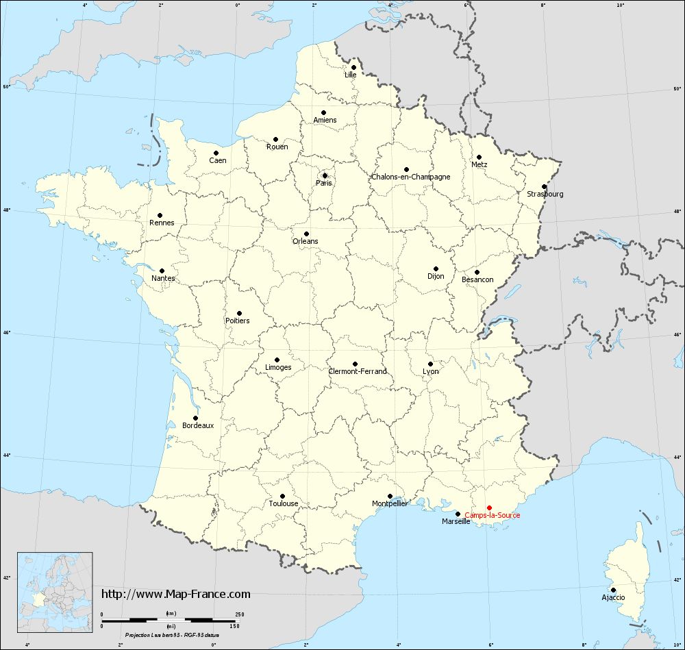
Map of Camps-la-Source with regions and prefectures
|
View the map of Camps-la-Source in full screen (1000 x 949)
|
You will find the location of Camps-la-Source on the map of France of regions in Lambert 93 coordinates. The town of Camps-la-Source is located in the department of Var of the french region Provence-Alpes-Côte d'Azur.
Geographical sexagesimal coordinates / GPS (WGS84):
Latitude: 43° 23' 11'' North
Longitude: 06° 05' 40'' East
Geographical decimal coordinates :
Latitude: 43.386 degrees (43.386° North)
Longitude: 6.096 degrees (6.096° East)
Lambert 93 coordinates :
X: 9 508 hectometers
Y: 62 590 hectometers
Lambert 2 coordinates :
X: 9 049 hectometers
Y: 18 277 hectometers
Below, the geographical coordinates of Toulon, prefecture of the Var department:
Geographical sexagesimal coordinates / GPS (WGS84):
Latitude: 43° 07' 30'' North
Longitude: 05° 55' 50'' East
Geographical decimal coordinates :
Latitude: 43.127 degrees (43.127° North)
Longitude: 5.934 degrees (5.934° East)
Lambert 93 coordinates :
X: 9 386 hectometers
Y: 62 295 hectometers
Lambert 2 coordinates :
X: 8 929 hectometers
Y: 17 981 hectometers
|
This map of Camps-la-Source is reusable and modifiable by making a link to this page of the Map-France.com website or by using the given code :
|
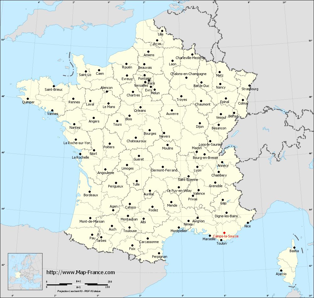
Map of Camps-la-Source with departments and prefectures
|
Voir la carte of Camps-la-Source en grand format (1000 x 949)
|
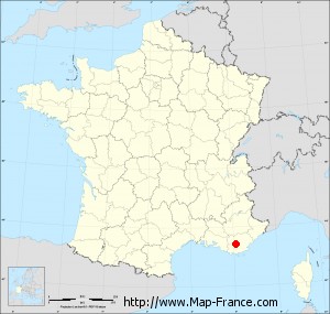
Here is the localization of Camps-la-Source on the France map of departments in Lambert 93 coordinates. The city of Camps-la-Source is shown on the map by a red point.
The town of Camps-la-Source is located in the department of Var of the french region Provence-Alpes-Côte d'Azur.
The latitude of Camps-la-Source is 43.386 degrees North.
The longitude of Camps-la-Source is 6.096 degrees East.
Here the distance between Camps-la-Source and the biggest cities of France:
Distances are calculated as the crow flies (orthodromic distance)
Distance between Camps-la-Source and Paris : 673.21 kilometers
Distance between Camps-la-Source and Marseille : 57.15 kilometers
Distance between Camps-la-Source and Lyon : 282.05 kilometers
Distance between Camps-la-Source and Toulouse : 375.2 kilometers
Distance between Camps-la-Source and Nice : 100.41 kilometers
Distance between Camps-la-Source and Nantes : 733.52 kilometers
Distance between Camps-la-Source and Strasbourg : 591.63 kilometers
Distance between Camps-la-Source and Montpellier : 180.81 kilometers
Distance between Camps-la-Source and Bordeaux : 556.07 kilometers
Distance between Camps-la-Source and Lille : 837.06 kilometers
Distance between Camps-la-Source and Rennes : 798.56 kilometers
Distance between Camps-la-Source and Reims : 671.37 kilometers
Clic here to see the map of Camps-la-Source in full screen:
Camps-la-Source on the map of french departments
|
This administrative map of Camps-la-Source is reusable and modifiable by making a link to this page of the Map-France.com website or by using the given code :
|
Administrative base maps of Camps-la-Source
|

See the administrative base map of Camps-la-Source in full screen (1000 x 949)
|
Small administrative base map of Camps-la-Source
|
This base map administrative of Camps-la-Source is reusable and modifiable by making a link to this page of the Map-France.com website or by using the given code :
|
 French Version : http://www.cartesfrance.fr