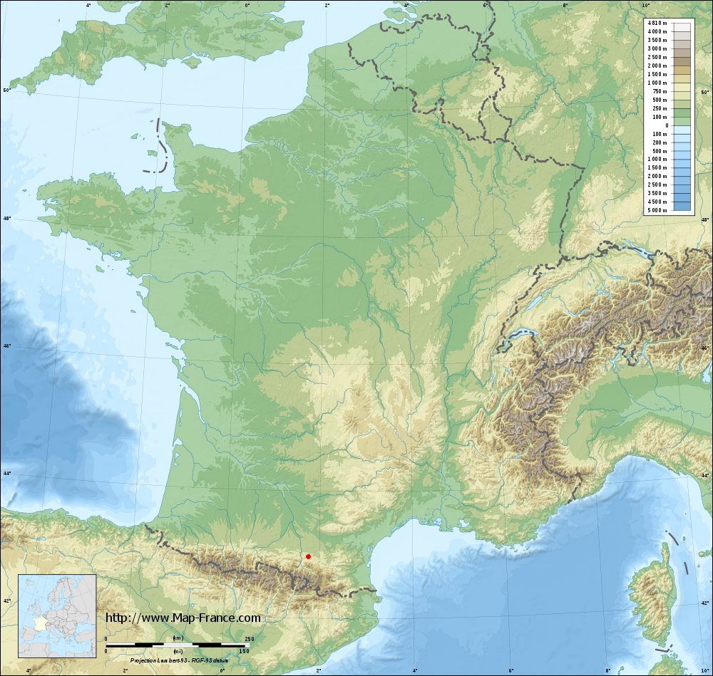
Carla-de-Roquefort on the relief France map in Lambert 93 coordinates
|

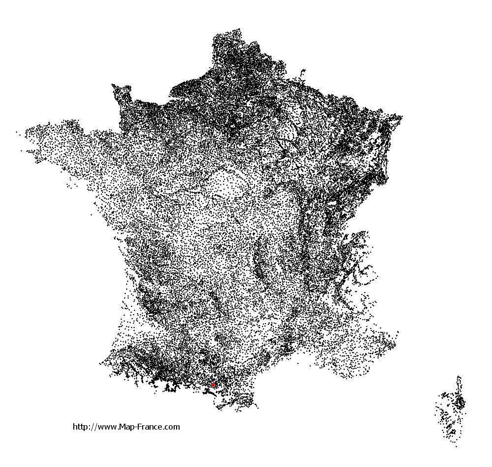
See the map of Carla-de-Roquefort in full screen (1000 x 949)
|
At left, here is the location of Carla-de-Roquefort on the relief France map in Lambert 93 coordinates.
Here are the altitudes of Carla-de-Roquefort :
- Town hall altitude of Carla-de-Roquefort is 400 meters
- Minimum altitude of Carla-de-Roquefort is 368 meters
- Maximum altitude of Carla-de-Roquefort is 729 meters
- Medium altitude of Carla-de-Roquefort is 549 meters
Here are the altitudes of Foix, prefecture of Ariège department:
- Town hall altitude of Foix is 380 meters
- Minimum altitude of Foix is 358 meters
- Maximum altitude of Foix is 933 meters
- Medium altitude of Foix is 646 meters
Here are the altitudes of the french biggest cities:
Paris : 33 meters
Marseille : 20 meters
Lyon : 237 meters
Toulouse : 146 meters
Nice : 10 meters
Nantes : 20 meters
Strasbourg : 144 meters
Montpellier : 35 meters
Bordeaux : 16 meters
Lille : 20 meters
Rennes : 35 meters
Reims : 83 meters
Click here for the terrain map of Carla-de-Roquefort in full screen:
Relief map of Carla-de-Roquefort
|
This relief map of Carla-de-Roquefort is reusable and modifiable by making a link to this page of the Map-France.com website or by using the given code :
|
Terrain base map of Carla-de-Roquefort
|
See the terrain base map of Carla-de-Roquefort in full screen (1000 x 949)
|
Small relief base map of Carla-de-Roquefort
|
This base map of Carla-de-Roquefort is reusable and modifiable by making a link to this page of the Map-France.com website or by using the given code :
|
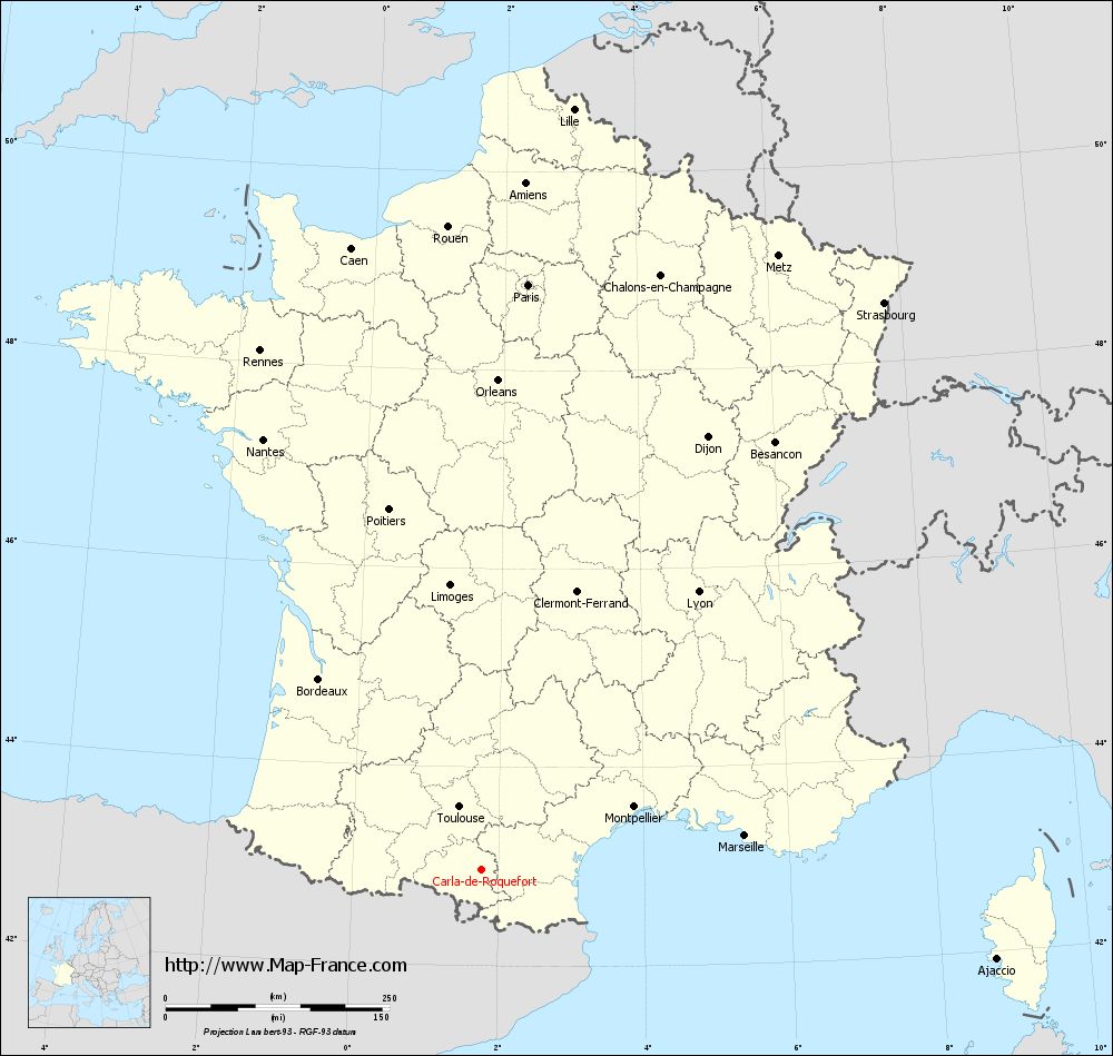
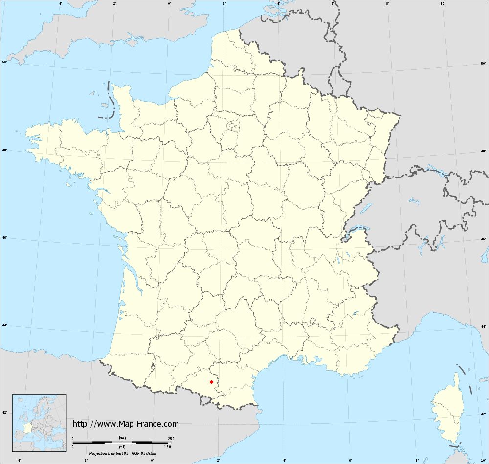
Map of Carla-de-Roquefort with regions and prefectures
|
View the map of Carla-de-Roquefort in full screen (1000 x 949)
|
You will find the location of Carla-de-Roquefort on the map of France of regions in Lambert 93 coordinates. The town of Carla-de-Roquefort is located in the department of Ariège of the french region Midi-Pyrénées.
Geographical sexagesimal coordinates / GPS (WGS84):
Latitude: 42° 58' 30'' North
Longitude: 01° 46' 05'' East
Geographical decimal coordinates :
Latitude: 42.974 degrees (42.974° North)
Longitude: 1.768 degrees (1.768° East)
Lambert 93 coordinates :
X: 5 994 hectometers
Y: 62 092 hectometers
Lambert 2 coordinates :
X: 5 535 hectometers
Y: 17 749 hectometers
Below, the geographical coordinates of Foix, prefecture of the Ariège department:
Geographical sexagesimal coordinates / GPS (WGS84):
Latitude: 42° 57' 55'' North
Longitude: 01° 36' 25'' East
Geographical decimal coordinates :
Latitude: 42.96 degrees (42.96° North)
Longitude: 1.609 degrees (1.609° East)
Lambert 93 coordinates :
X: 5 863 hectometers
Y: 62 083 hectometers
Lambert 2 coordinates :
X: 5 404 hectometers
Y: 17 739 hectometers
|
This map of Carla-de-Roquefort is reusable and modifiable by making a link to this page of the Map-France.com website or by using the given code :
|
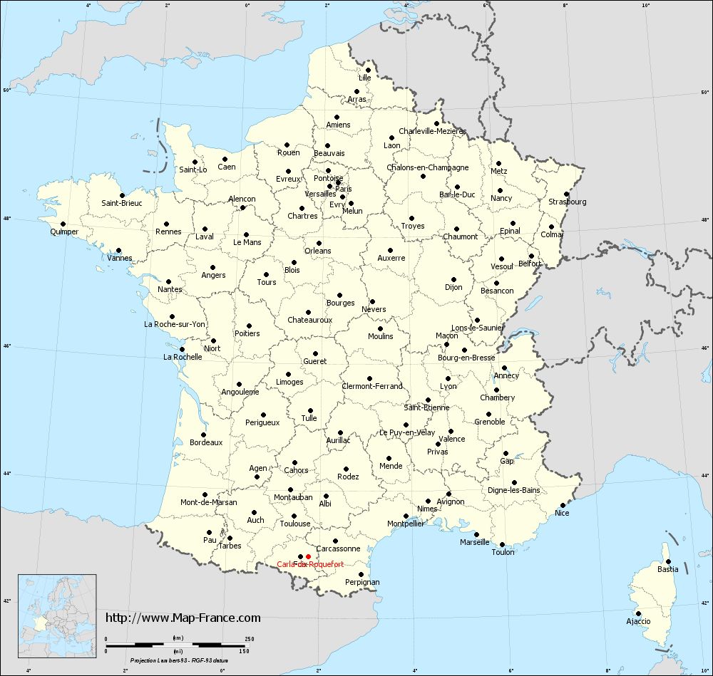
Map of Carla-de-Roquefort with departments and prefectures
|
Voir la carte of Carla-de-Roquefort en grand format (1000 x 949)
|
Here is the localization of Carla-de-Roquefort on the France map of departments in Lambert 93 coordinates. The city of Carla-de-Roquefort is shown on the map by a red point.
The town of Carla-de-Roquefort is located in the department of Ariège of the french region Midi-Pyrénées.
The latitude of Carla-de-Roquefort is 42.974 degrees North.
The longitude of Carla-de-Roquefort is 1.768 degrees East.
Here the distance between Carla-de-Roquefort and the biggest cities of France:
Distances are calculated as the crow flies (orthodromic distance)
Distance between Carla-de-Roquefort and Paris : 655.53 kilometers
Distance between Carla-de-Roquefort and Marseille : 296.63 kilometers
Distance between Carla-de-Roquefort and Lyon : 393.79 kilometers
Distance between Carla-de-Roquefort and Toulouse : 74.08 kilometers
Distance between Carla-de-Roquefort and Nice : 451.3 kilometers
Distance between Carla-de-Roquefort and Nantes : 538.65 kilometers
Distance between Carla-de-Roquefort and Strasbourg : 776.54 kilometers
Distance between Carla-de-Roquefort and Montpellier : 184.37 kilometers
Distance between Carla-de-Roquefort and Bordeaux : 279.73 kilometers
Distance between Carla-de-Roquefort and Lille : 855.86 kilometers
Distance between Carla-de-Roquefort and Rennes : 630.14 kilometers
Distance between Carla-de-Roquefort and Reims : 719.51 kilometers
Clic here to see the map of Carla-de-Roquefort in full screen:
Carla-de-Roquefort on the map of french departments
|
This administrative map of Carla-de-Roquefort is reusable and modifiable by making a link to this page of the Map-France.com website or by using the given code :
|
Administrative base maps of Carla-de-Roquefort
|
See the administrative base map of Carla-de-Roquefort in full screen (1000 x 949)
|
Small administrative base map of Carla-de-Roquefort
|
This base map administrative of Carla-de-Roquefort is reusable and modifiable by making a link to this page of the Map-France.com website or by using the given code :
|
 French Version : http://www.cartesfrance.fr