|
The village of Carnet is a small village located north west of France. The town of Carnet is located in the department of Manche of the french region Basse-Normandie. The town of Carnet is located in the township of Saint-James part of the district of Avranches. The area code for Carnet is 50100 (also known as code INSEE), and the Carnet zip code is 50240.
Geography and map of Carnet :
The altitude of the city hall of Carnet is approximately 100 meters. The Carnet surface is 10.18 km ². The latitude and longitude of Carnet are 48.51 degrees North and 1.357 degrees West.
Nearby cities and towns of Carnet are :
Saint-James (50240) at 2.91 km, Argouges (50240) at 2.99 km, La Croix-Avranchin (50240) at 4.56 km, Villiers-le-Pré (50240) at 4.89 km, Montanel (50240) at 4.92 km, Le Ferré (35420) at 4.95 km, Montjoie-Saint-Martin (50240) at 5.49 km, Coglès (35460) at 5.58 km.
(The distances to these nearby towns of Carnet are calculated as the crow flies)
Population and housing of Carnet :
The population of Carnet was 433 in 1999, 465 in 2006 and 469 in 2007. The population density of Carnet is 46.07 inhabitants per km². The number of housing of Carnet was 217 in 2007. These homes of Carnet consist of 190 main residences, 11 second or occasional homes and 16 vacant homes. |
|
|
Hotel Carnet
|
|
|
Book now ! Best Price Guaranteed, no booking fees, pay at the hotel with our partner Booking.com, leader in online hotel reservation.
Find all hotels of Carnet : Hotel Carnet
| |
|
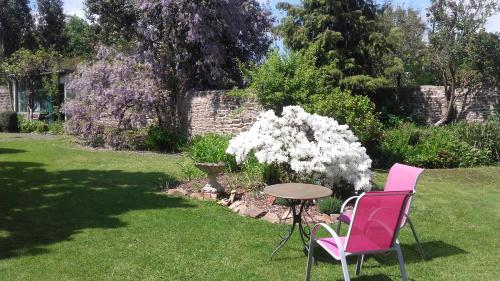
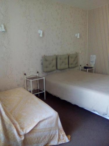
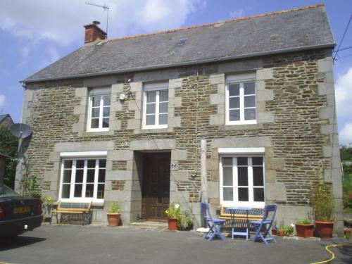
Bed and Breakfast : La Maison d'Isaphil
Located in Saint-James, 19 km from Le Mont Saint Michel, La Maison d'Isaphil boasts a sun terrace and views of the garden. All rooms come with a private bathroom. La Maison d'I...
Rate : from 55.00 €
to 130.00 €
Address : 110 rue de la Libération 50240 Saint-James
Distance Bed and Breakfast - Carnet : 2.66 km
|
|
|
Hotel : Normandie Hotel
The Normandie Hotel is located at Saint James, on the border between Normandy and Brittany. It is offers en suite accommodation free Wi-Fi internet access and a TV. Breakfast i...
Price : from 45.00 €
to 62.00 €
Contact : Rue des Rochers 50240 Saint-James
Distance Hotel - Carnet : 2.89 km
|
|
|
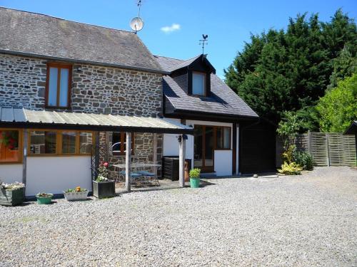
Guest accommodation : Bijoux Gite
Located in Argouges, Bijoux Gite offers a seasonal outdoor swimming pool. With barbecue facilities, the property also features a garden. The accommodation features free WiFi. T...
Prices : from 39.00 €
to 55.00 €
Contact : Marigny, Argouges 50240 Argouges
Distance Guest accommodation - Carnet : 4.00 km
|
|
|
Guest accommodation : Holiday home Argouges 43 with Game Room

Holiday home Argouges 43 with Game Room is situated in Argouges. Guests staying at this holiday home have access to a fully equipped kitchen. The holiday home includes 4 bedroo...
Contact : 50240 Argouges
Distance Guest accommodation - Carnet : 4.24 km
|
|
|
Bed and Breakfast : John's B&B
Located in Le Ferré, John's B&B provides a garden and is surrounded by the countryside. The hosts are English. A continental breakfast is available daily at the property. Le M...
Price : from 66.00 €
to 70.00 €
Address : 18 Rue de Bretagne 35420 Le Ferré
Distance Bed and Breakfast - Carnet : 5.03 km
|
|
|
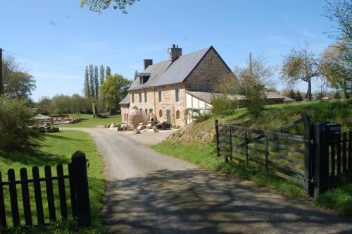
Bed and Breakfast : Chambres d'hôte Honey Orchard Farm
Located in the heart of the Normandy countryside, a 20-minute drive from the Mont Saint-Michel, this stone farmhouse is surrounded by a garden and orchard. Several fishing locat...
Contact : 7 Loumel 50170 Vessey
Distance Bed and Breakfast - Carnet : 5.17 km
|
|
|
Guest accommodation : Le Pre
Le Pre offers accommodation in a farming community in Villiers-le-Pré, 46 km from Saint Malo and 13 km from Le Mont Saint Michel. It provides free private parking. Free WiFi is ...
Contact : Villiers le Pre 3 Le Pre 50240 Villiers-le-Pré
Distance Guest accommodation - Carnet : 5.37 km
|
|
|
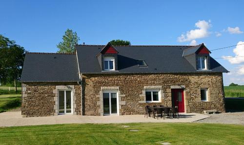
Guest accommodation : La Moire
Set in Vergoncey in the Lower Normandy region, La Moire is a 3-star property featuring free WiFi. The accommodation is 19 km from Le Mont Saint Michel. The holiday home include...
Contact : 50240 Vergoncey
Distance Guest accommodation - Carnet : 5.54 km
|
|
|
Guest accommodation : Gîte de l'hamelinaie
Offering free WiFi and garden views, Gîte de l'hamelinaie is an accommodation situated in Montanel. Guests have a private terrace. The holiday home includes 3 bedrooms and a ki...
Prices : from 100.00 €
to 120.00 €
Address : 7 La Haute Hamelinaie 50240 Montanel
Distance Guest accommodation - Carnet : 5.74 km
|
|
|
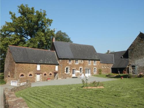
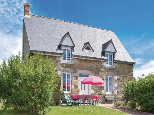
Bed and Breakfast : Château de Boucéel - Mont Saint Michel

Set in an 18th-century château registered as an historic building, this B&B is located a 15-minute drive from Mont St Michel. The tree-lined park features a pond and you can pla...
Rate : from 217.00 €
to 311.00 €
Contact : lieu-dit Boucéel 50240 Vergoncey
Distance Bed and Breakfast - Carnet : 6.22 km
|
|
Find another hotel near Carnet : Carnet hotels list
|
Map of Carnet
|
|
Map of Carnet :
At right you can find the localization of Carnet on the map of France. Below, this is the satellite map of Carnet. A road map, and maps templates of Carnet are available here : "road map of Carnet". This map show Carnet seen by the satellite of Google Map. To see the streets of Carnet or move on another zone, use the buttons "zoom" and "map" on top of this dynamic map.
Search on the map of Carnet :
To search hotels, housings, tourist information office, administrations or other services, use the Google search integrated to the map on the following page : "map Carnet".
Hotels of Carnet are listed on the map with the following icons: 
The map of Carnet is centred in the following coordinates :
|

|
|
|
|
Print the map of Carnet

Print the map of Carnet : map of Carnet
|
Photos Carnet
|
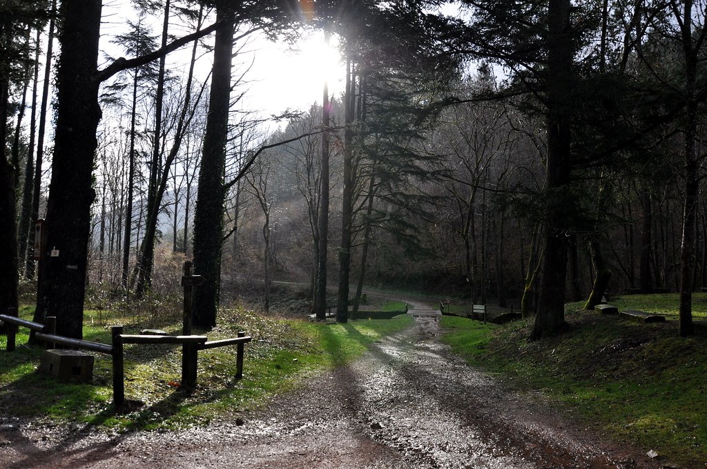
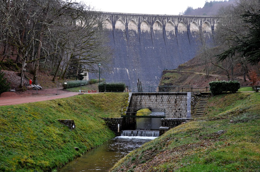
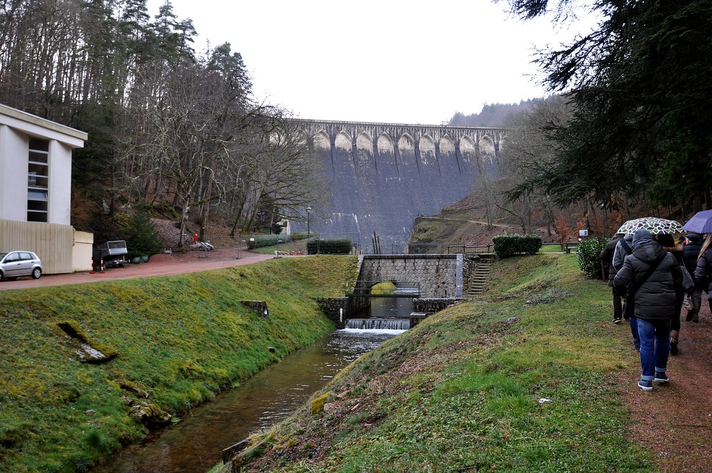
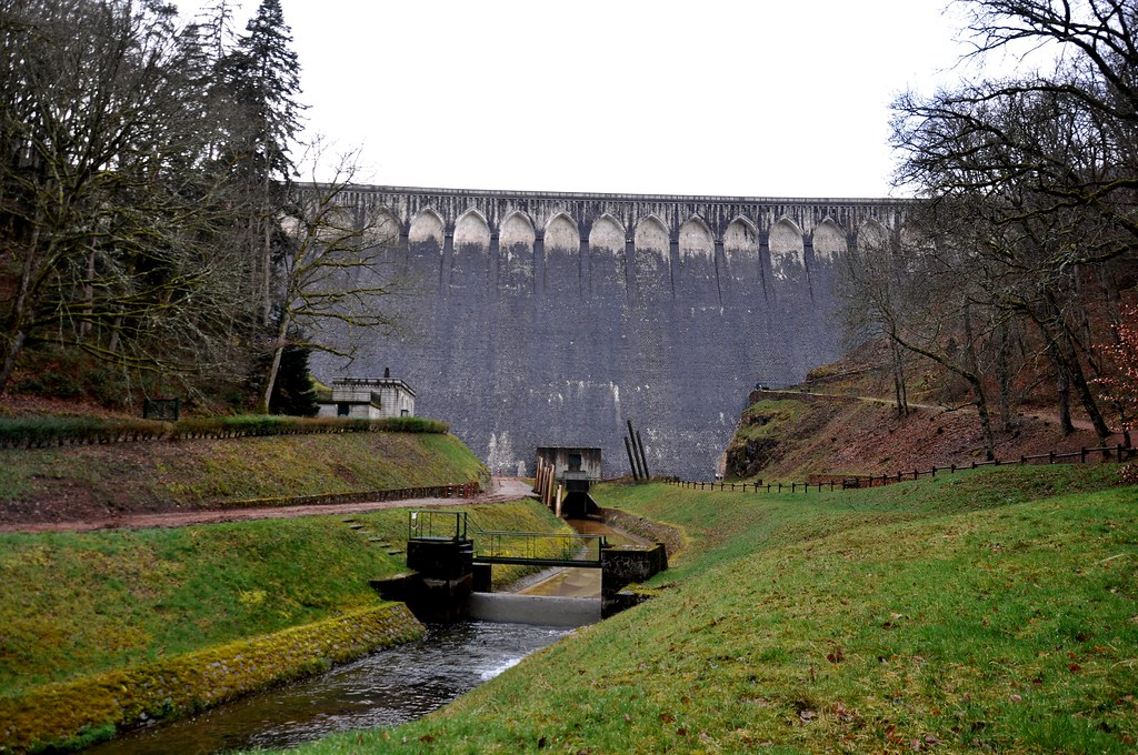
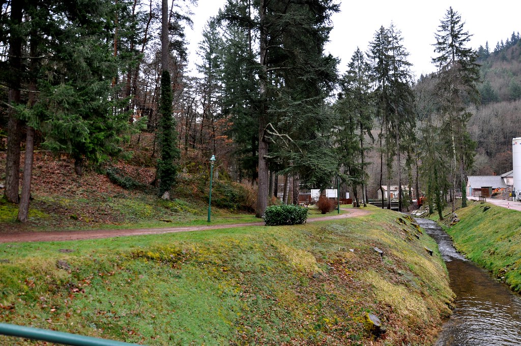
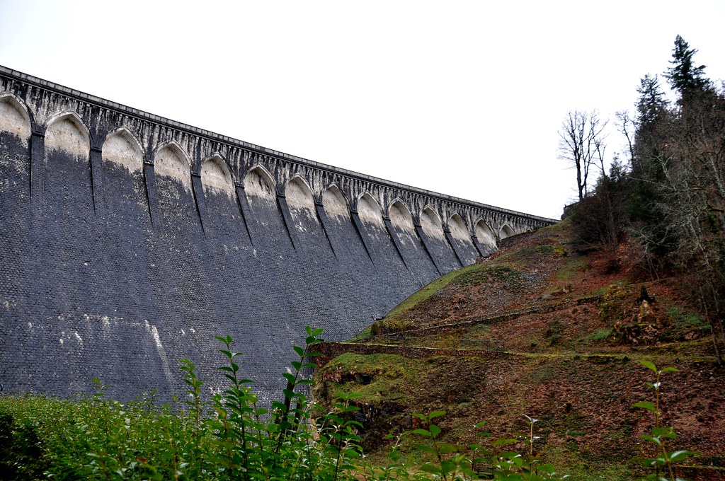
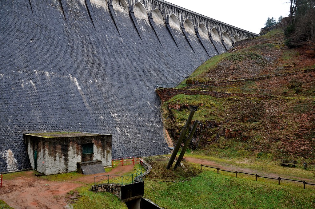
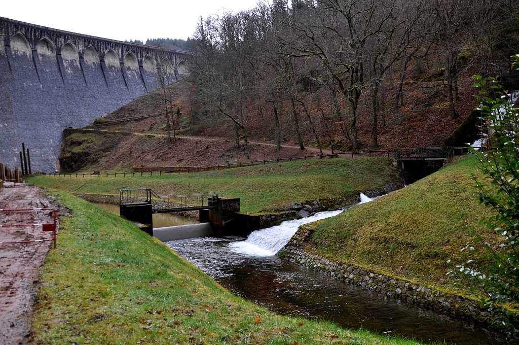
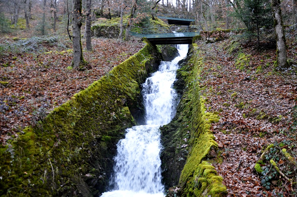
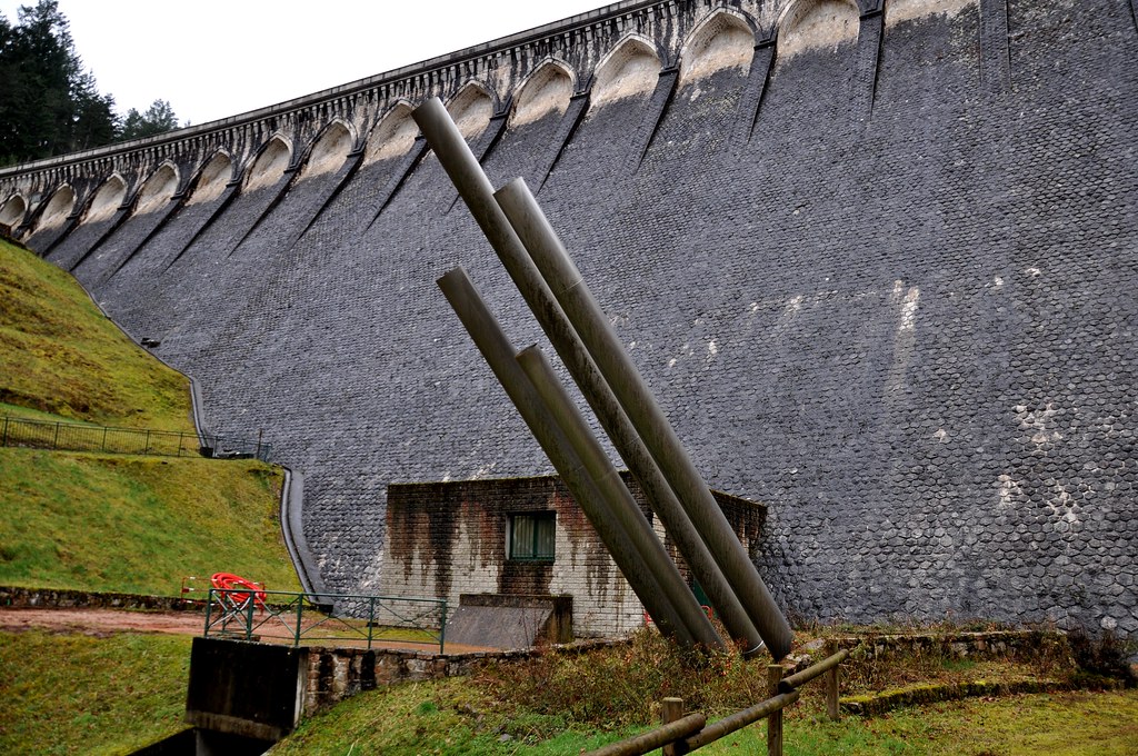
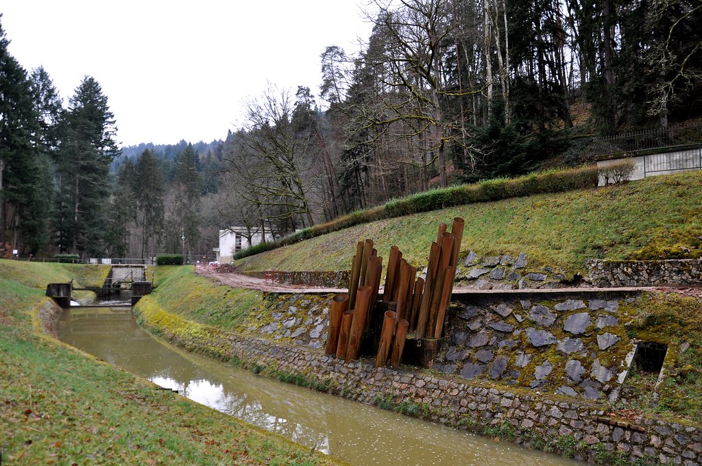
See all photos of Carnet :
Other photos of Carnet and nearby towns can be found here: photos Carnet
|
|
Carnet weather forecast
Find next hours and 7 days weather forecast for Carnet here : weather Carnet (with english metrics)
This is the last weather forecast for Carnet collected by the nearest observation station of Saint-James.
Week Forecast:
The latest weather data for Carnet were collected Friday, 31 July 2026 at 11:04 from the nearest observation station of Saint-James.
| Friday, July 31st |
23°C 15°C
0%
56%
|
Partly cloudy
Temperature Max: 23°C Temperature Min: 15°C
Precipitation Probability: 0%
Percentage of sky occluded by clouds: 56%
Wind speed: 18 km/h South-East
Humidity: 61%° UV Index: 5
Sunrise: 06:38 Sunset: 21:44 |
|
| | Saturday, August 1st |
23°C 11°C
0%
65%
|
Mostly cloudy
Temperature Max: 23°C Temperature Min: 11°C
Precipitation Probability: 0%
Percentage of sky occluded by clouds: 65%
Wind speed: 13 km/h South-East
Humidity: 59%° UV Index: 4
Sunrise: 06:39 Sunset: 21:42 |
|
| | Sunday, August 2nd |
28°C 11°C
0%
68%
|
Mostly cloudy
Temperature Max: 28°C Temperature Min: 11°C
Precipitation Probability: 0%
Percentage of sky occluded by clouds: 68%
Wind speed: 8 km/h Sout-East
Humidity: 49%° UV Index: 4
Sunrise: 06:41 Sunset: 21:41 |
|
| | Monday, August 3rd |
30°C 18°C
0%
52%
|
Partly cloudy
Temperature Max: 30°C Temperature Min: 18°C
Precipitation Probability: 0%
Percentage of sky occluded by clouds: 52%
Wind speed: 11 km/h North-East
Humidity: 49%° UV Index: 5
Sunrise: 06:42 Sunset: 21:39 |
|
|
Attribution: 
|
|
Other maps, hotels and towns in france
Find another town, zip code, department, region, ...
Quick links Carnet :
Make a link to this page of Carnet with the following code :
|
|
|
 French Version : http://www.cartesfrance.fr/carte-france-ville/50100_Carnet.html