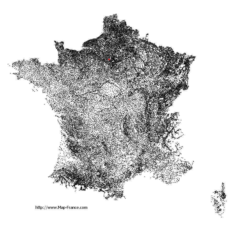
Carrières-sous-Poissy on the relief France map in Lambert 93 coordinates
|
See the map of Carrières-sous-Poissy in full screen (1000 x 949)
|
At left, here is the location of Carrières-sous-Poissy on the relief France map in Lambert 93 coordinates.
Here are the altitudes of Carrières-sous-Poissy :
- Town hall altitude of Carrières-sous-Poissy is 30 meters
- Minimum altitude of Carrières-sous-Poissy is 17 meters
- Maximum altitude of Carrières-sous-Poissy is 44 meters
- Medium altitude of Carrières-sous-Poissy is 31 meters
Here are the altitudes of Versailles, prefecture of Yvelines department:
- Town hall altitude of Versailles is 135 meters
- Minimum altitude of Versailles is 103 meters
- Maximum altitude of Versailles is 180 meters
- Medium altitude of Versailles is 142 meters
Here are the altitudes of the french biggest cities:
Paris : 33 meters
Marseille : 20 meters
Lyon : 237 meters
Toulouse : 146 meters
Nice : 10 meters
Nantes : 20 meters
Strasbourg : 144 meters
Montpellier : 35 meters
Bordeaux : 16 meters
Lille : 20 meters
Rennes : 35 meters
Reims : 83 meters
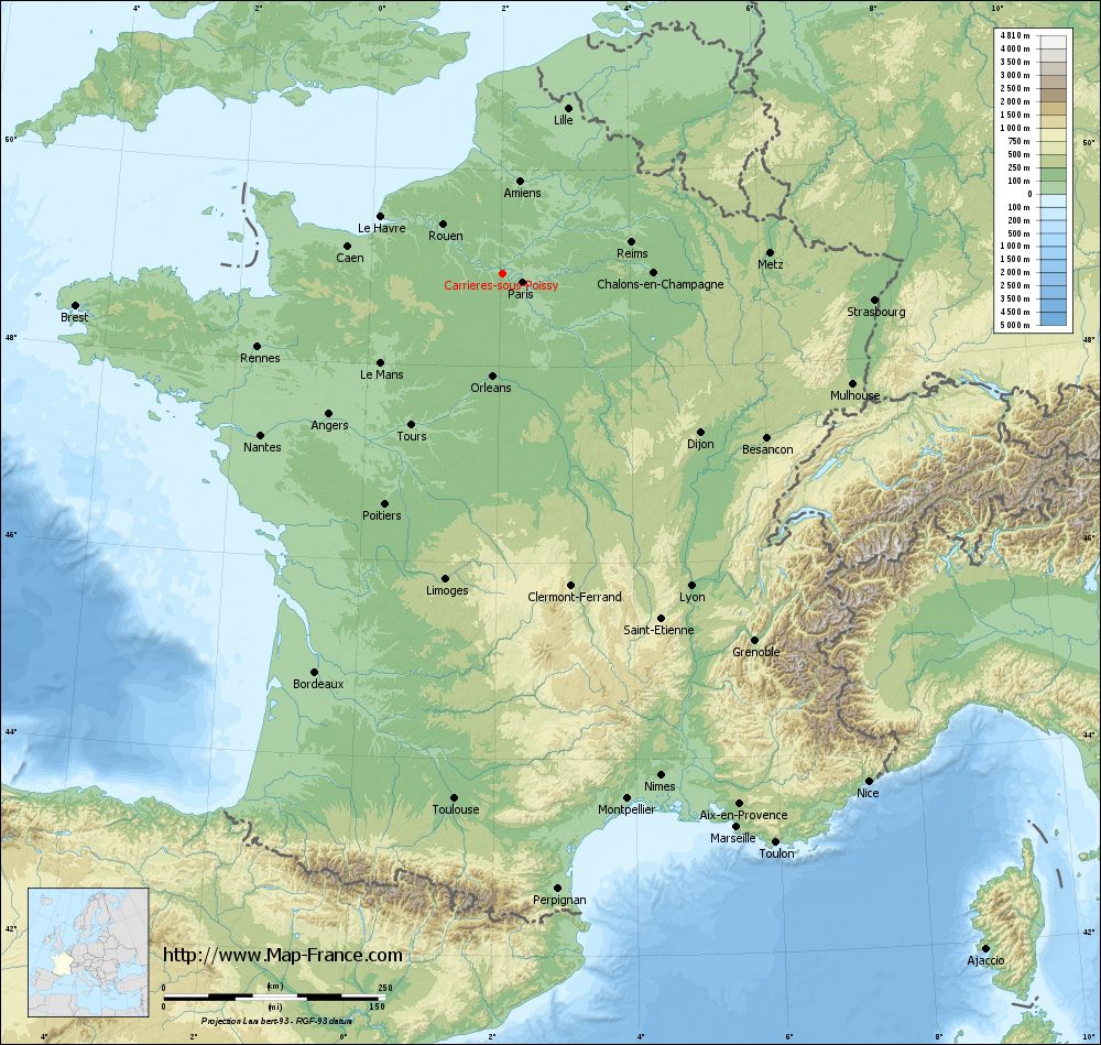
Click here for the terrain map of Carrières-sous-Poissy in full screen:
Relief map of Carrières-sous-Poissy
|
This relief map of Carrières-sous-Poissy is reusable and modifiable by making a link to this page of the Map-France.com website or by using the given code :
|
Terrain base map of Carrières-sous-Poissy
|

See the terrain base map of Carrières-sous-Poissy in full screen (1000 x 949)
|
Small relief base map of Carrières-sous-Poissy

|
This base map of Carrières-sous-Poissy is reusable and modifiable by making a link to this page of the Map-France.com website or by using the given code :
|
Map of Carrières-sous-Poissy with regions and prefectures
|
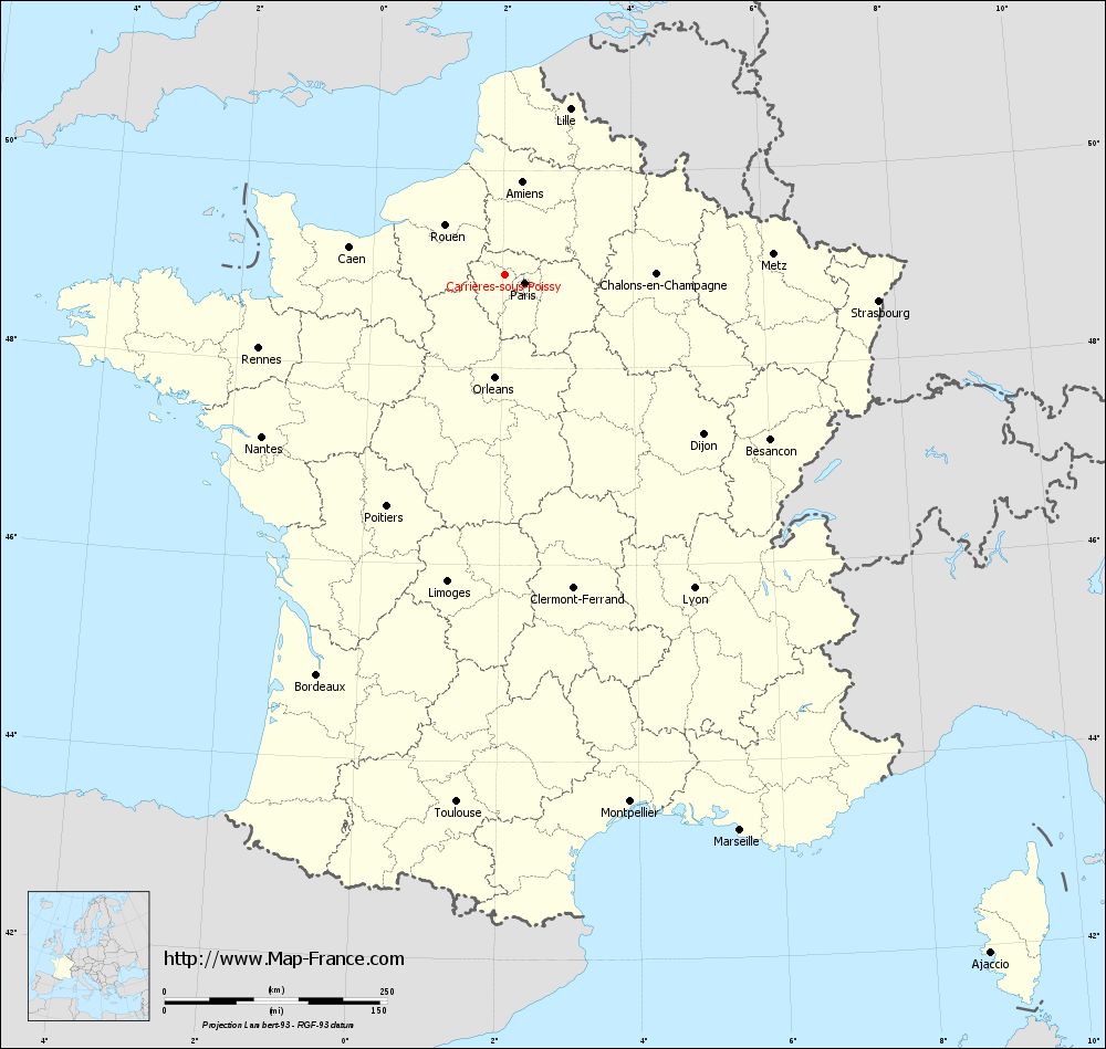
View the map of Carrières-sous-Poissy in full screen (1000 x 949)
|
You will find the location of Carrières-sous-Poissy on the map of France of regions in Lambert 93 coordinates. The city of Carrières-sous-Poissy is located in the department of Yvelines of the french region Île-de-France.
Geographical sexagesimal coordinates / GPS (WGS84):
Latitude: 48° 56' 52'' North
Longitude: 02° 02' 19'' East
Geographical decimal coordinates :
Latitude: 48.941 degrees (48.941° North)
Longitude: 2.021 degrees (2.021° East)
Lambert 93 coordinates :
X: 6 296 hectometers
Y: 68 724 hectometers
Lambert 2 coordinates :
X: 5 782 hectometers
Y: 24 389 hectometers
Below, the geographical coordinates of Versailles, prefecture of the Yvelines department:
Geographical sexagesimal coordinates / GPS (WGS84):
Latitude: 48° 48' 17'' North
Longitude: 02° 08' 03'' East
Geographical decimal coordinates :
Latitude: 48.807 degrees (48.807° North)
Longitude: 2.137 degrees (2.137° East)
Lambert 93 coordinates :
X: 6 364 hectometers
Y: 68 564 hectometers
Lambert 2 coordinates :
X: 5 851 hectometers
Y: 24 229 hectometers
|
This map of Carrières-sous-Poissy is reusable and modifiable by making a link to this page of the Map-France.com website or by using the given code :
|
Map of Carrières-sous-Poissy with departments and prefectures
|
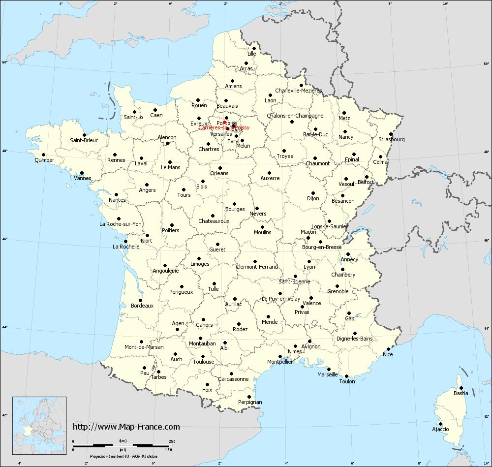
Voir la carte of Carrières-sous-Poissy en grand format (1000 x 949)
|
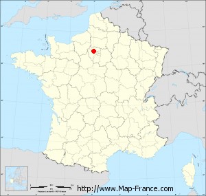
Here is the localization of Carrières-sous-Poissy on the France map of departments in Lambert 93 coordinates. The city of Carrières-sous-Poissy is shown on the map by a red point.
The city of Carrières-sous-Poissy is located in the department of Yvelines of the french region Île-de-France.
The latitude of Carrières-sous-Poissy is 48.941 degrees North.
The longitude of Carrières-sous-Poissy is 2.021 degrees East.
Here the distance between Carrières-sous-Poissy and the biggest cities of France:
Distances are calculated as the crow flies (orthodromic distance)
Distance between Carrières-sous-Poissy and Paris : 25.35 kilometers
Distance between Carrières-sous-Poissy and Marseille : 678.71 kilometers
Distance between Carrières-sous-Poissy and Lyon : 412.01 kilometers
Distance between Carrières-sous-Poissy and Toulouse : 595.04 kilometers
Distance between Carrières-sous-Poissy and Nice : 706.76 kilometers
Distance between Carrières-sous-Poissy and Nantes : 327.07 kilometers
Distance between Carrières-sous-Poissy and Strasbourg : 421.79 kilometers
Distance between Carrières-sous-Poissy and Montpellier : 609.25 kilometers
Distance between Carrières-sous-Poissy and Bordeaux : 496.07 kilometers
Distance between Carrières-sous-Poissy and Lille : 201.3 kilometers
Distance between Carrières-sous-Poissy and Rennes : 287.62 kilometers
Distance between Carrières-sous-Poissy and Reims : 150.43 kilometers
Clic here to see the map of Carrières-sous-Poissy in full screen:
Carrières-sous-Poissy on the map of french departments
|
This administrative map of Carrières-sous-Poissy is reusable and modifiable by making a link to this page of the Map-France.com website or by using the given code :
|
Administrative base maps of Carrières-sous-Poissy
|

See the administrative base map of Carrières-sous-Poissy in full screen (1000 x 949)
|
Small administrative base map of Carrières-sous-Poissy
|
This base map administrative of Carrières-sous-Poissy is reusable and modifiable by making a link to this page of the Map-France.com website or by using the given code :
|
 French Version : http://www.cartesfrance.fr