|
The village of Cartelègue is a small french village located south west of France. The town of Cartelègue is located in the department of Gironde of the french region Aquitaine. The town of Cartelègue is located in the township of Blaye part of the district of Blaye. The area code for Cartelègue is 33101 (also known as code INSEE), and the Cartelègue zip code is 33390.
Geography and map of Cartelègue :
The altitude of the city hall of Cartelègue is approximately 22 meters. The Cartelègue surface is 11.45 km ². The latitude and longitude of Cartelègue are 45.186 degrees North and 0.579 degrees West.
Nearby cities and towns of Cartelègue are :
Campugnan (33390) at 1.52 km, Générac (33920) at 2.56 km, Eyrans (33390) at 2.93 km, Mazion (33390) at 3.93 km, Fours (33390) at 4.11 km, Étauliers (33820) at 4.33 km, Saint-Paul (33390) at 4.75 km, Saint-Seurin-de-Cursac (33390) at 4.78 km.
(The distances to these nearby towns of Cartelègue are calculated as the crow flies)
Population and housing of Cartelègue :
The population of Cartelègue was 872 in 1999, 1 001 in 2006 and 1 019 in 2007. The population density of Cartelègue is 89.00 inhabitants per km². The number of housing of Cartelègue was 527 in 2007. These homes of Cartelègue consist of 425 main residences, 36 second or occasional homes and 66 vacant homes. |
|
|
Hotel Cartelègue
|
|
|
Book now ! Best Price Guaranteed, no booking fees, pay at the hotel with our partner Booking.com, leader in online hotel reservation.
Find all hotels of Cartelègue : Hotel Cartelègue
| |
|
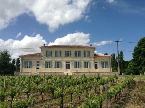
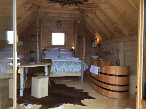
Hotel : Hôtel Restaurant Le Relais de l'Estuaire
Providing free WiFi, Hôtel Restaurant Le Relais de l'Estuaire is situated in Étauliers. The property has a garden, as well as a terrace. The restaurant serves Local cuisine. At...
Rate : from 57.00 €
to 95.00 €
Address : 79 rue Principale 33820 Étauliers
Distance Hotel - Cartelègue : 4.42 km
|
|
|
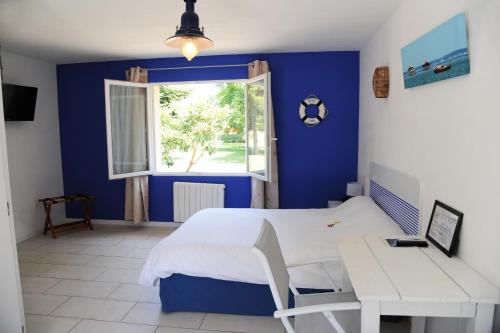
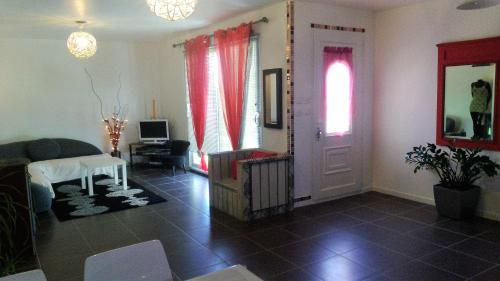
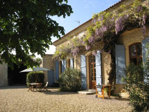
Bed and Breakfast : Chambres d'hôtes les Denias
Situated in Saint-Paul, Chambres d'hôtes les Denias features accommodation with free WiFi and access to a garden. All units feature air conditioning and a TV. Some units also h...
Price : from 60.00 €
Contact : 2 Les Denias-Ouest 33390 Saint-Paul
Distance Bed and Breakfast - Cartelègue : 4.62 km
|
|
|
Guest accommodation : Gites Gayet

Providing a seasonal outdoor swimming pool, Gites Gayet provides accommodation in Saint-Androny. Complimentary WiFi is available. Each unit is equipped with a terrace, a TV, a ...
Contact : 2 Lieu Dit Gayet 33390 Saint-Androny
Distance Guest accommodation - Cartelègue : 4.81 km
|
|
|
Guest accommodation : Le Soleil en Gironde
Located in Vrillant in the Aquitaine region, Le Soleil en Gironde has a terrace and garden views. Guests may enjoy free WiFi. This holiday home comes with a kitchen, a seating ...
Contact : 28 le bouil 33390 Vrillant
Distance Guest accommodation - Cartelègue : 5.09 km
|
|
|
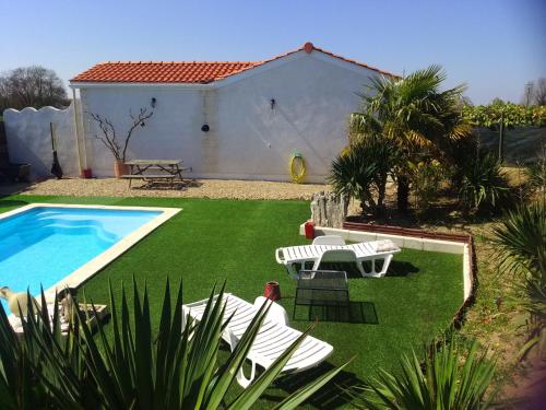
Guest accommodation : Au petit lieu-dit
Featuring a seasonal outdoor swimming pool, Au petit lieu-dit provides accommodation in Anglade with free WiFi and garden views. This holiday home features barbecue facilities. ...
Price : from 30.00 €
to 50.00 €
Address : 28 le bouil 33390 Anglade
Distance Guest accommodation - Cartelègue : 5.10 km
|
|
|
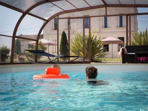
Bed and Breakfast : Maison de Jean

Built in 1890 and surrounded by vineyards with free visits and tastings, Maison de Jean has a covered and heated swimming pool, barbecue facilities and there is a lake on site, ...
Prices : from 95.00 €
Contact : 7 Le Coudonneau 33390 Saint-Androny
Distance Bed and Breakfast - Cartelègue : 5.47 km
|
|
|
Guest accommodation : Shanti Lac
Providing barbecue facilities, Shanti Lac offers accommodation in Berson. The units have a fully equipped kitchenette with dining area, an oven and a microwave. A terrace with ...
Rate : from 180.00 €
to 250.00 €
Contact : 4, lieu dit loumede 33390 Berson
Distance Guest accommodation - Cartelègue : 7.60 km
|
|
|
Guest accommodation : Chambres d'hôtes Le Chardon Fleuri
Located in Lieu dit Le Poteau, 35 km from Libourne, Le Chardon Fleuri is a guest house set in an 18th-century house featuring a large tree-filled park with a seasonal outdoor po...
Price : from 80.00 €
Contact : 24 Chemin de Chardon 33710 Teuillac
Distance Guest accommodation - Cartelègue : 8.05 km
|
|
|
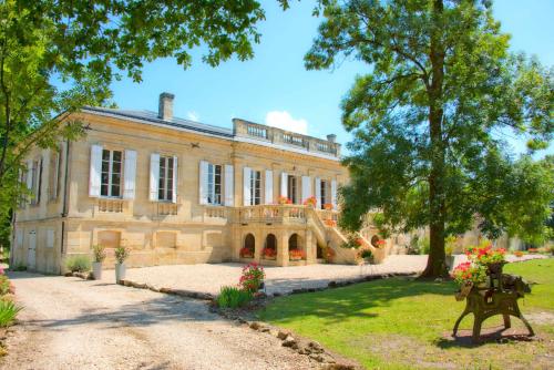
Bed and Breakfast : Chateau Bavolier
With garden views, Chateau Bavolier is set in Saint-Christoly-de-Blaye and has free WiFi. There is a fully equipped private bathroom with bath and a hair dryer. A continental ...
Address : Chateau Bavolier 33920 Saint-Christoly-de-Blaye
Distance Bed and Breakfast - Cartelègue : 8.37 km
|
|
|
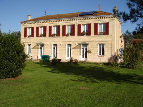
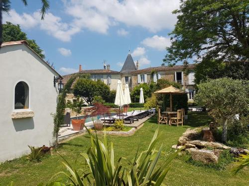
Bed and Breakfast : Clos Réaud de la Citadelle
Featuring a swimming pool, a garden and a terrace and views of the pool, Clos Réaud de la Citadelle is set in Blaye and features accommodation with free WiFi. The bed and break...
Rate : from 125.00 €
to 200.00 €
Contact : 8 rue des Maçons 33390 Blaye
Distance Bed and Breakfast - Cartelègue : 8.81 km
|
|
Find another hotel near Cartelègue : Cartelègue hotels list
|
Map of Cartelègue
|
|
Map of Cartelègue :
At right you can find the localization of Cartelègue on the map of France. Below, this is the satellite map of Cartelègue. A road map, and maps templates of Cartelègue are available here : "road map of Cartelègue". This map show Cartelègue seen by the satellite of Google Map. To see the streets of Cartelègue or move on another zone, use the buttons "zoom" and "map" on top of this dynamic map.
Search on the map of Cartelègue :
To search hotels, housings, tourist information office, administrations or other services, use the Google search integrated to the map on the following page : "map Cartelègue".
Hotels of Cartelègue are listed on the map with the following icons: 
The map of Cartelègue is centred in the following coordinates :
|

|
|
|
|
Print the map of Cartelègue

Print the map of Cartelègue : map of Cartelègue
|
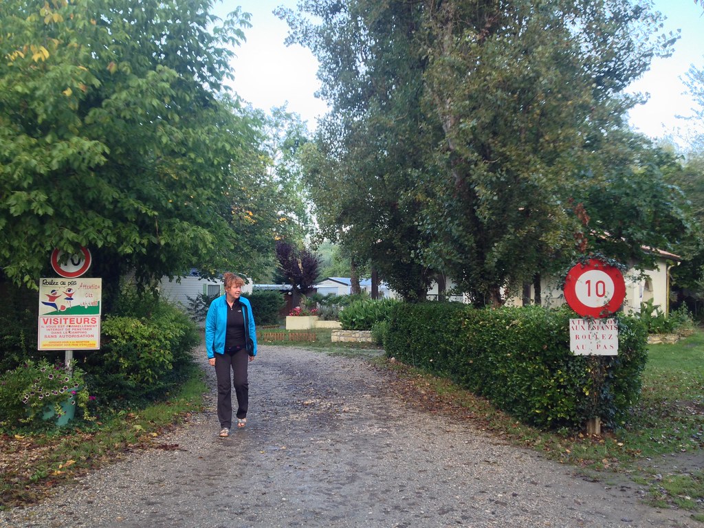
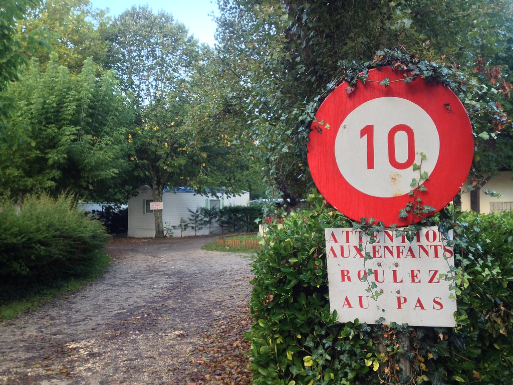
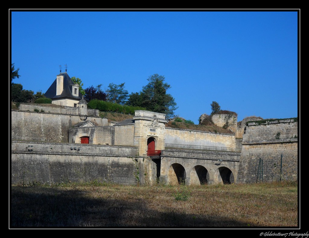
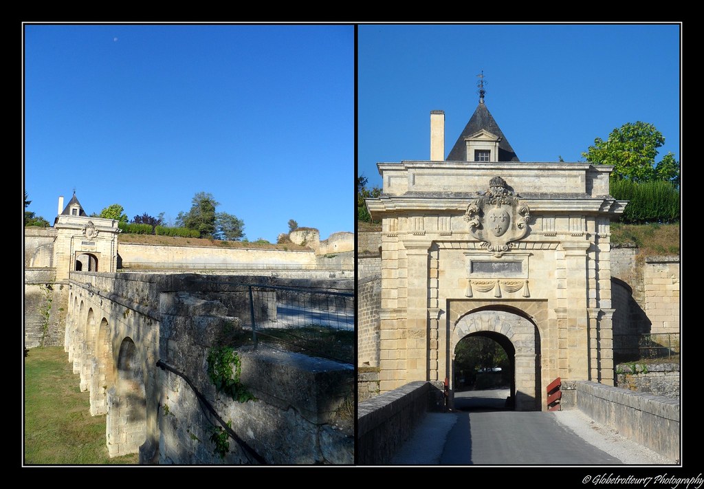
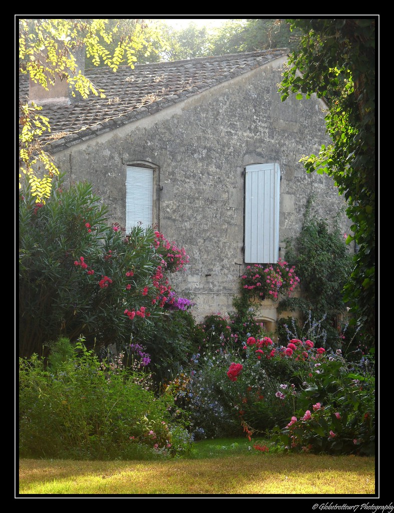
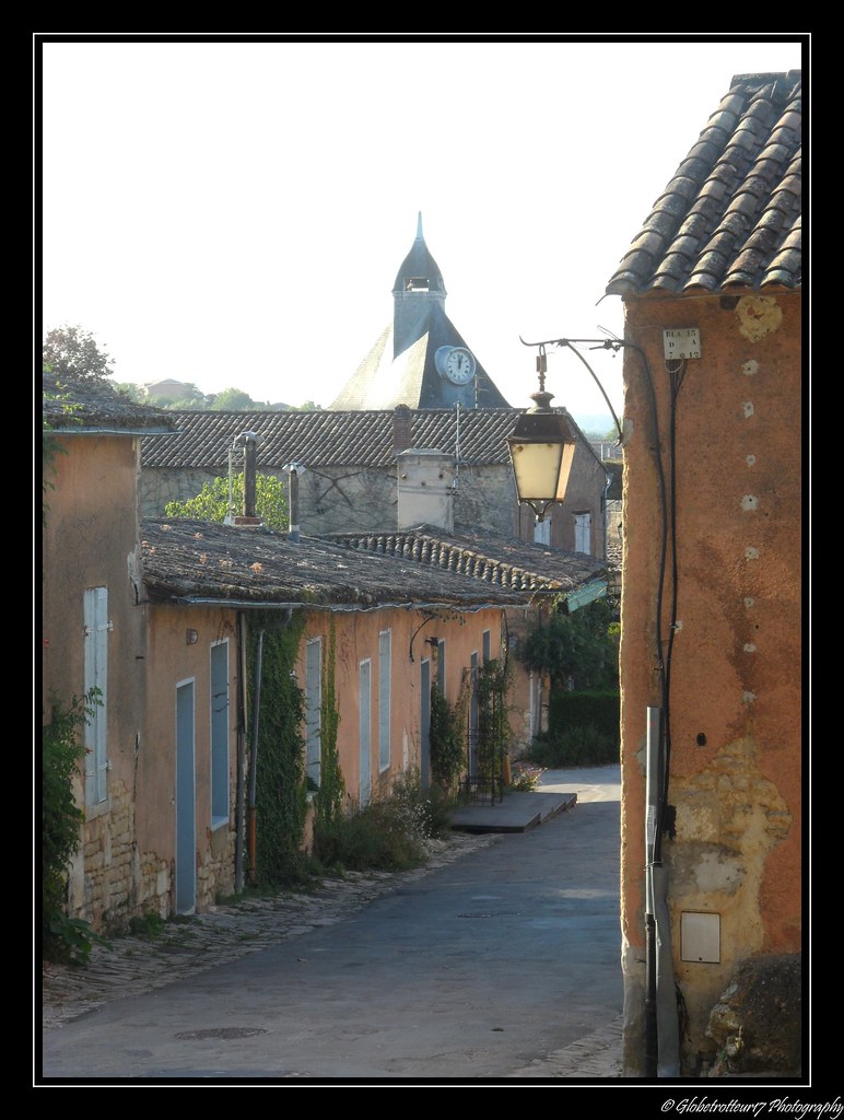
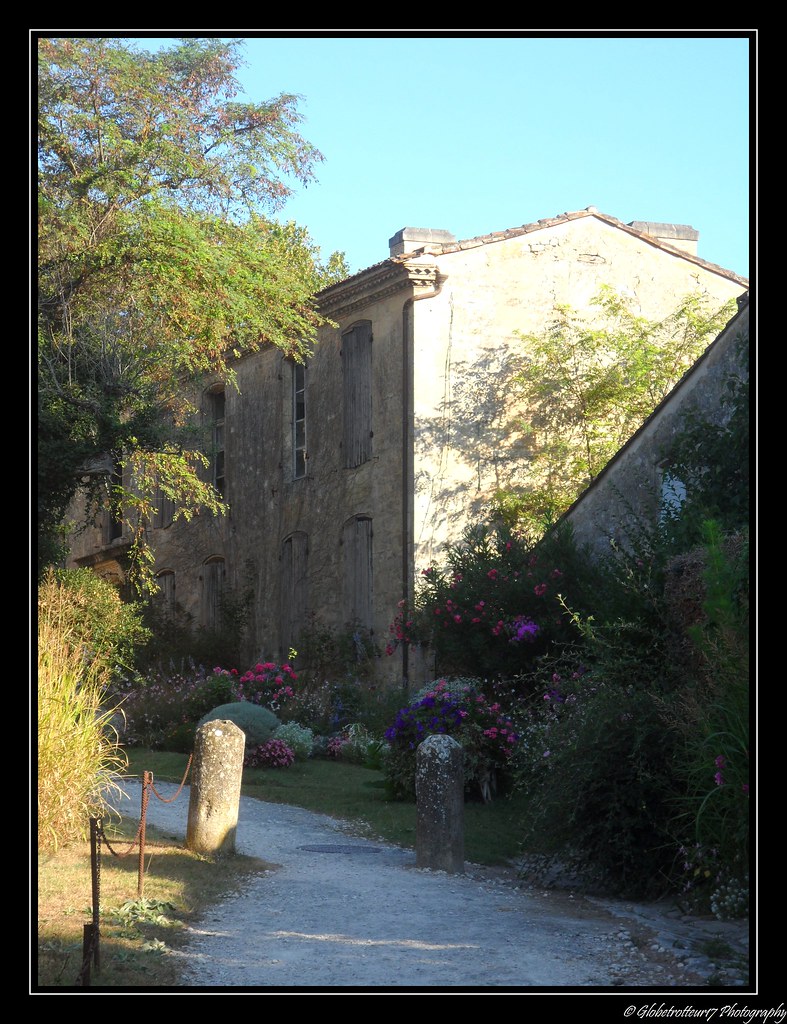
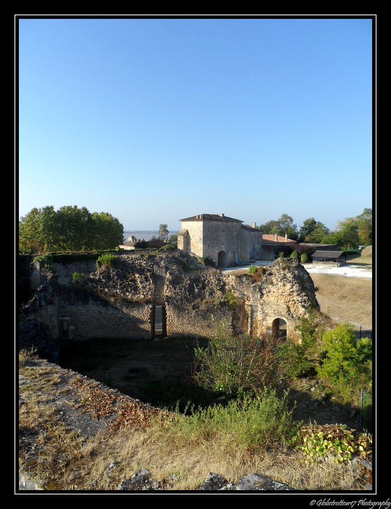
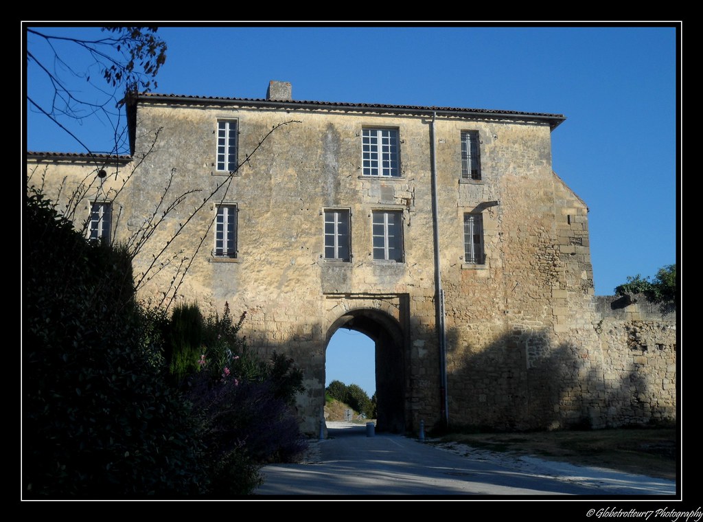
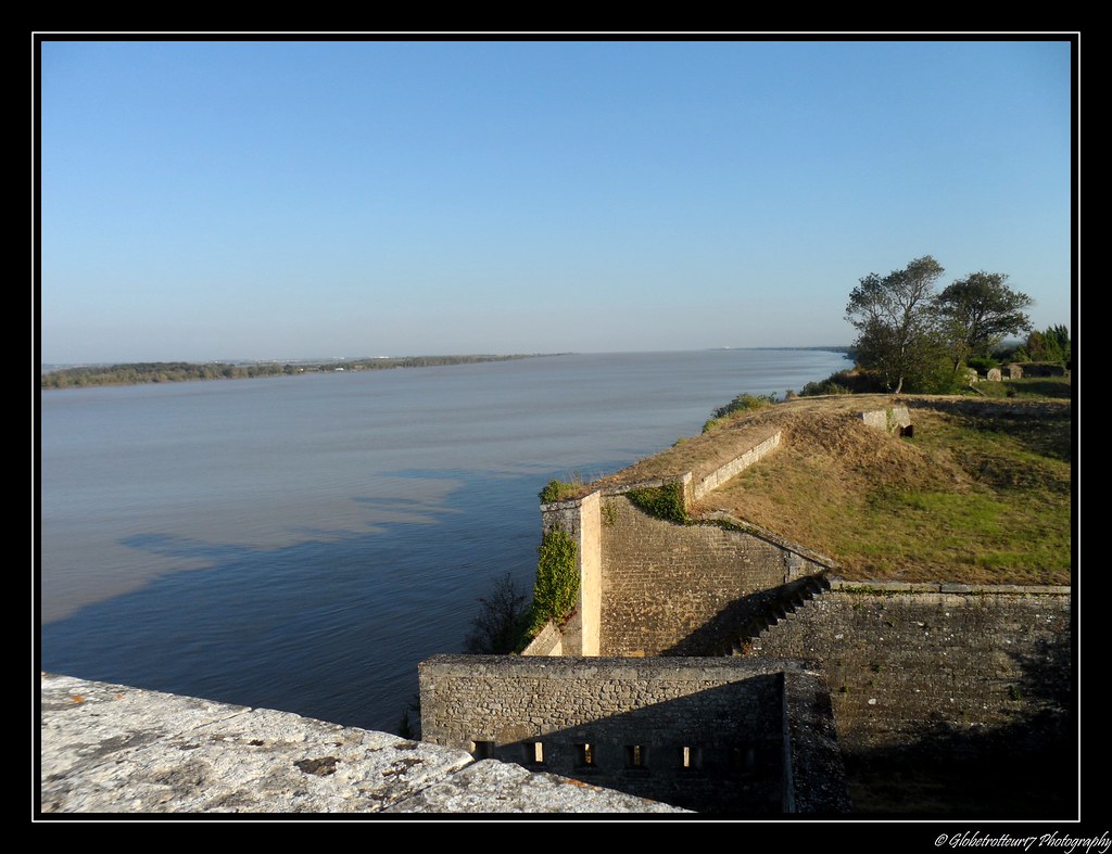
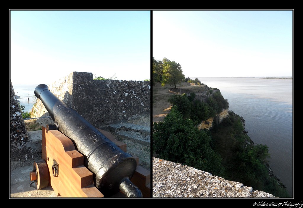
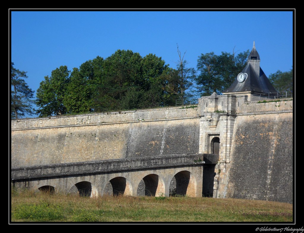
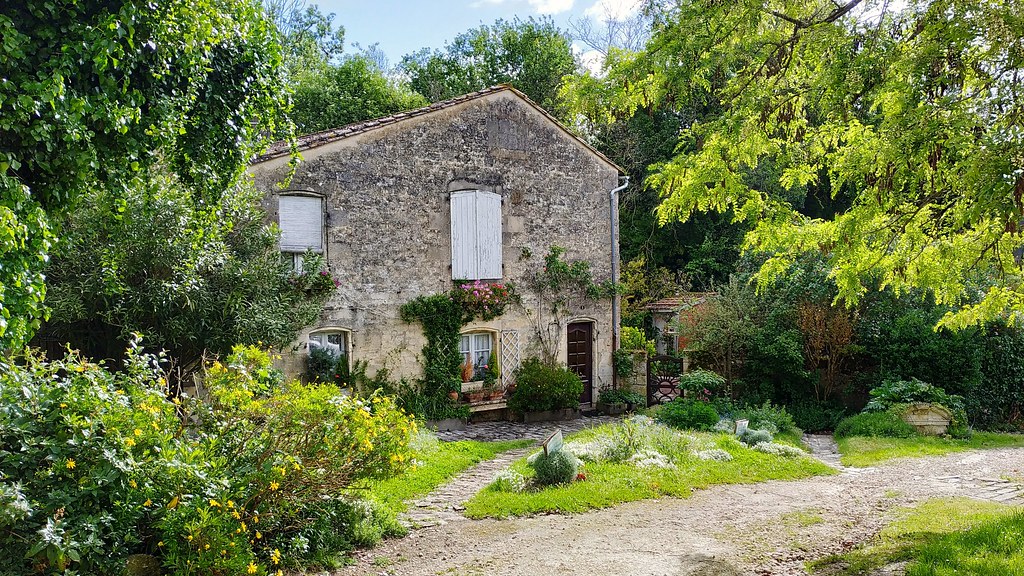
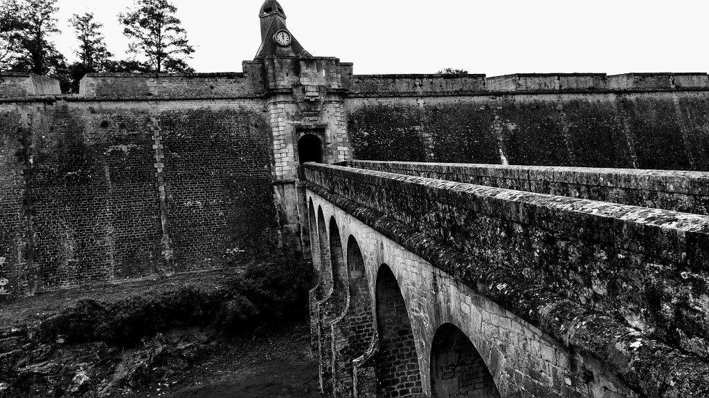
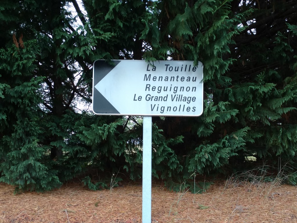
Photos Cartelègue
|
See all photos of Cartelègue :
Other photos of Cartelègue and nearby towns can be found here: photos Cartelègue
|
|
Cartelègue weather forecast
Find next hours and 7 days weather forecast for Cartelègue here : weather Cartelègue (with english metrics)
This is the last weather forecast for Cartelègue collected by the nearest observation station of Blaye.
Week Forecast:
The latest weather data for Cartelègue were collected Friday, 31 July 2026 at 11:02 from the nearest observation station of Blaye.
| Friday, July 31st |
27°C 18°C
29%
62%
|
Partly cloudy
Temperature Max: 27°C Temperature Min: 18°C
Precipitation Probability: 29% (Rain)
Percentage of sky occluded by clouds: 62%
Wind speed: 12 km/h East
Humidity: 66%° UV Index: 6
Sunrise: 06:46 Sunset: 21:31 |
|
| | Saturday, August 1st |
31°C 16°C
0%
27%
|
Mostly clear
Temperature Max: 31°C Temperature Min: 16°C
Precipitation Probability: 0%
Percentage of sky occluded by clouds: 27%
Wind speed: 5 km/h South-East
Humidity: 58%° UV Index: 8
Sunrise: 06:47 Sunset: 21:30 |
|
| | Sunday, August 2nd |
34°C 19°C
27%
12%
|
Clear
Temperature Max: 34°C Temperature Min: 19°C
Precipitation Probability: 27%
Percentage of sky occluded by clouds: 12%
Wind speed: 5 km/h East
Humidity: 48%° UV Index: 8
Sunrise: 06:49 Sunset: 21:28 |
|
| | Monday, August 3rd |
29°C 20°C
39%
74%
|
Thunderstorms
Temperature Max: 29°C Temperature Min: 20°C
Precipitation Probability: 39% (Rain)
Percentage of sky occluded by clouds: 74%
Wind speed: 9 km/h East
Humidity: 65%° UV Index: 5
Sunrise: 06:50 Sunset: 21:27 |
|
|
Attribution: 
|
|
Other maps, hotels and towns in france
Find another town, zip code, department, region, ...
Quick links Cartelègue :
Make a link to this page of Cartelègue with the following code :
|
|
|
 French Version : http://www.cartesfrance.fr/carte-france-ville/33101_Cartelegue.html