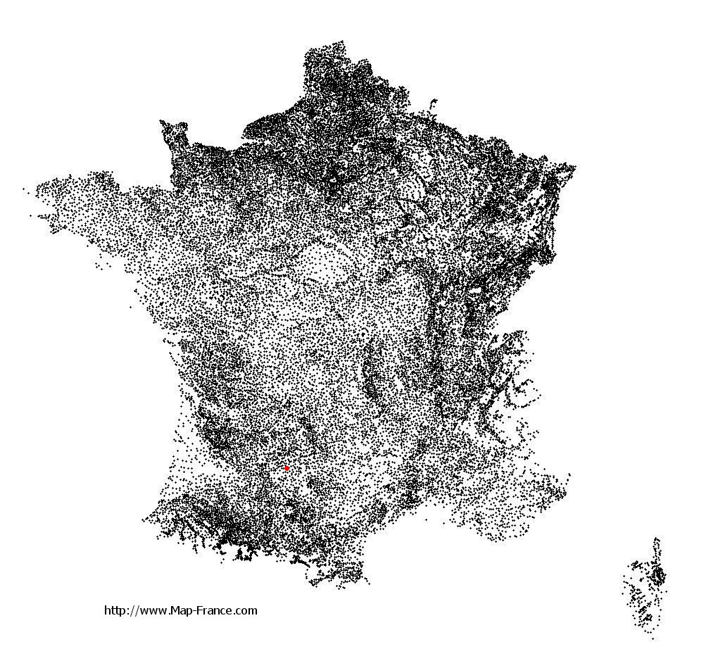
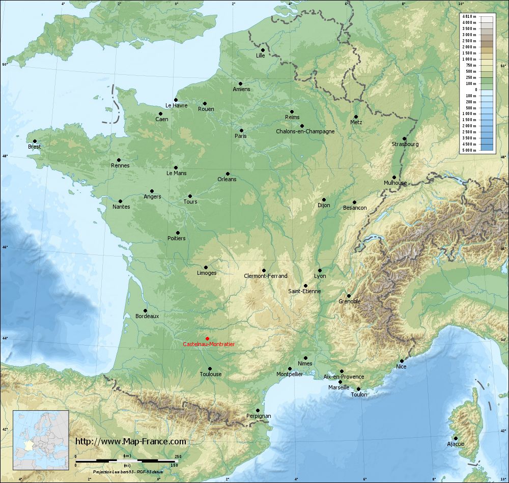
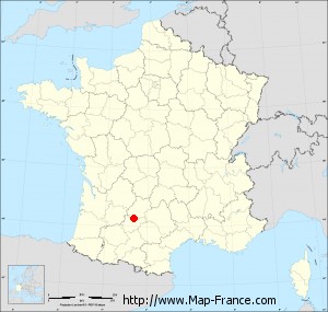
Castelnau-Montratier on the relief France map in Lambert 93 coordinates
|
See the map of Castelnau-Montratier in full screen (1000 x 949)
|
At left, here is the location of Castelnau-Montratier on the relief France map in Lambert 93 coordinates.
Here are the altitudes of Castelnau-Montratier :
- Town hall altitude of Castelnau-Montratier is 250 meters
- Minimum altitude of Castelnau-Montratier is 108 meters
- Maximum altitude of Castelnau-Montratier is 295 meters
- Medium altitude of Castelnau-Montratier is 202 meters
Here are the altitudes of Cahors, prefecture of Lot department:
- Town hall altitude of Cahors is 122 meters
- Minimum altitude of Cahors is 105 meters
- Maximum altitude of Cahors is 332 meters
- Medium altitude of Cahors is 219 meters
Here are the altitudes of the french biggest cities:
Paris : 33 meters
Marseille : 20 meters
Lyon : 237 meters
Toulouse : 146 meters
Nice : 10 meters
Nantes : 20 meters
Strasbourg : 144 meters
Montpellier : 35 meters
Bordeaux : 16 meters
Lille : 20 meters
Rennes : 35 meters
Reims : 83 meters
Click here for the terrain map of Castelnau-Montratier in full screen:
Relief map of Castelnau-Montratier
|
This relief map of Castelnau-Montratier is reusable and modifiable by making a link to this page of the Map-France.com website or by using the given code :
|
Terrain base map of Castelnau-Montratier
|

See the terrain base map of Castelnau-Montratier in full screen (1000 x 949)
|
Small relief base map of Castelnau-Montratier
|
This base map of Castelnau-Montratier is reusable and modifiable by making a link to this page of the Map-France.com website or by using the given code :
|
Map of Castelnau-Montratier with regions and prefectures
|
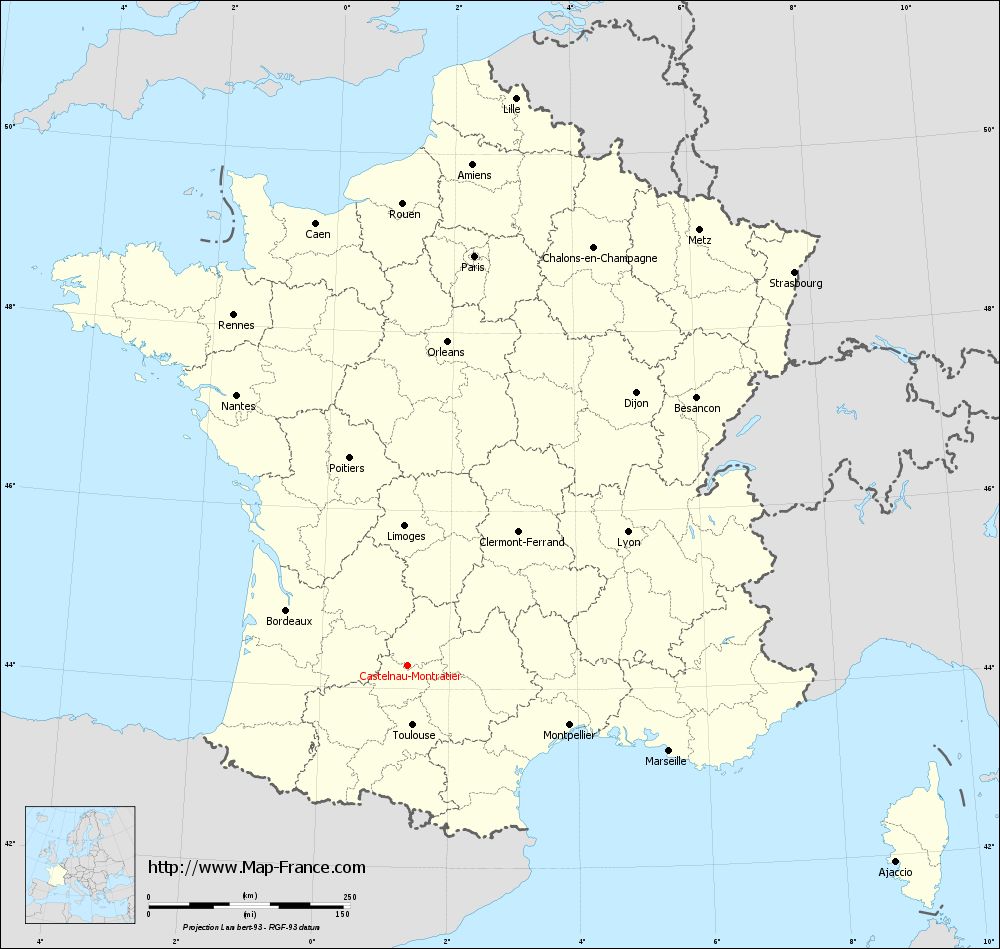
View the map of Castelnau-Montratier in full screen (1000 x 949)
|
You will find the location of Castelnau-Montratier on the map of France of regions in Lambert 93 coordinates. The town of Castelnau-Montratier is located in the department of Lot of the french region Midi-Pyrénées.
Geographical sexagesimal coordinates / GPS (WGS84):
Latitude: 44° 16' 08'' North
Longitude: 01° 21' 11'' East
Geographical decimal coordinates :
Latitude: 44.268 degrees (44.268° North)
Longitude: 1.352 degrees (1.352° East)
Lambert 93 coordinates :
X: 5 685 hectometers
Y: 63 536 hectometers
Lambert 2 coordinates :
X: 5 214 hectometers
Y: 19 191 hectometers
Below, the geographical coordinates of Cahors, prefecture of the Lot department:
Geographical sexagesimal coordinates / GPS (WGS84):
Latitude: 44° 26' 51'' North
Longitude: 01° 26' 26'' East
Geographical decimal coordinates :
Latitude: 44.448 degrees (44.448° North)
Longitude: 1.441 degrees (1.441° East)
Lambert 93 coordinates :
X: 5 759 hectometers
Y: 63 733 hectometers
Lambert 2 coordinates :
X: 5 286 hectometers
Y: 19 389 hectometers
|
This map of Castelnau-Montratier is reusable and modifiable by making a link to this page of the Map-France.com website or by using the given code :
|
Map of Castelnau-Montratier with departments and prefectures
|
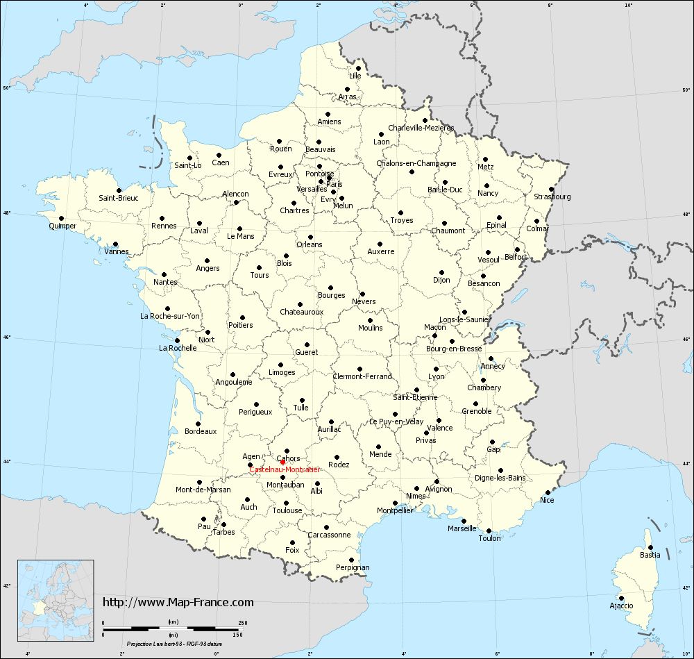
Voir la carte of Castelnau-Montratier en grand format (1000 x 949)
|
Here is the localization of Castelnau-Montratier on the France map of departments in Lambert 93 coordinates. The city of Castelnau-Montratier is shown on the map by a red point.
The town of Castelnau-Montratier is located in the department of Lot of the french region Midi-Pyrénées.
The latitude of Castelnau-Montratier is 44.268 degrees North.
The longitude of Castelnau-Montratier is 1.352 degrees East.
Here the distance between Castelnau-Montratier and the biggest cities of France:
Distances are calculated as the crow flies (orthodromic distance)
Distance between Castelnau-Montratier and Paris : 515.89 kilometers
Distance between Castelnau-Montratier and Marseille : 342.09 kilometers
Distance between Castelnau-Montratier and Lyon : 319.83 kilometers
Distance between Castelnau-Montratier and Toulouse : 74.64 kilometers
Distance between Castelnau-Montratier and Nice : 476.49 kilometers
Distance between Castelnau-Montratier and Nantes : 397.76 kilometers
Distance between Castelnau-Montratier and Strasbourg : 685.51 kilometers
Distance between Castelnau-Montratier and Montpellier : 214.68 kilometers
Distance between Castelnau-Montratier and Bordeaux : 165.37 kilometers
Distance between Castelnau-Montratier and Lille : 717.95 kilometers
Distance between Castelnau-Montratier and Rennes : 486.1 kilometers
Distance between Castelnau-Montratier and Reims : 590.65 kilometers
Clic here to see the map of Castelnau-Montratier in full screen:
Castelnau-Montratier on the map of french departments
|
This administrative map of Castelnau-Montratier is reusable and modifiable by making a link to this page of the Map-France.com website or by using the given code :
|
Administrative base maps of Castelnau-Montratier
|

See the administrative base map of Castelnau-Montratier in full screen (1000 x 949)
|
Small administrative base map of Castelnau-Montratier
|
This base map administrative of Castelnau-Montratier is reusable and modifiable by making a link to this page of the Map-France.com website or by using the given code :
|
 French Version : http://www.cartesfrance.fr