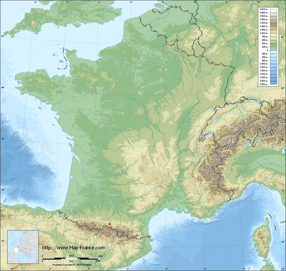
Castillon-en-Couserans on the relief France map in Lambert 93 coordinates
|

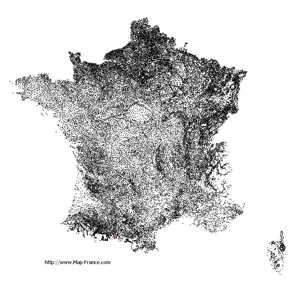
See the map of Castillon-en-Couserans in full screen (1000 x 949)
|
At left, here is the location of Castillon-en-Couserans on the relief France map in Lambert 93 coordinates.
Here are the altitudes of Castillon-en-Couserans :
- Town hall altitude of Castillon-en-Couserans is 542 meters
- Minimum altitude of Castillon-en-Couserans is 518 meters
- Maximum altitude of Castillon-en-Couserans is 1 320 meters
- Medium altitude of Castillon-en-Couserans is 919 meters
Here are the altitudes of Foix, prefecture of Ariège department:
- Town hall altitude of Foix is 380 meters
- Minimum altitude of Foix is 358 meters
- Maximum altitude of Foix is 933 meters
- Medium altitude of Foix is 646 meters
Here are the altitudes of the french biggest cities:
Paris : 33 meters
Marseille : 20 meters
Lyon : 237 meters
Toulouse : 146 meters
Nice : 10 meters
Nantes : 20 meters
Strasbourg : 144 meters
Montpellier : 35 meters
Bordeaux : 16 meters
Lille : 20 meters
Rennes : 35 meters
Reims : 83 meters
Click here for the terrain map of Castillon-en-Couserans in full screen:
Relief map of Castillon-en-Couserans
|
This relief map of Castillon-en-Couserans is reusable and modifiable by making a link to this page of the Map-France.com website or by using the given code :
|
Terrain base map of Castillon-en-Couserans
|
See the terrain base map of Castillon-en-Couserans in full screen (1000 x 949)
|
Small relief base map of Castillon-en-Couserans
|
This base map of Castillon-en-Couserans is reusable and modifiable by making a link to this page of the Map-France.com website or by using the given code :
|
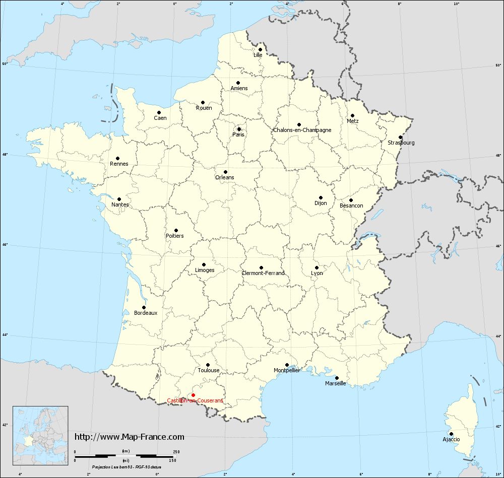
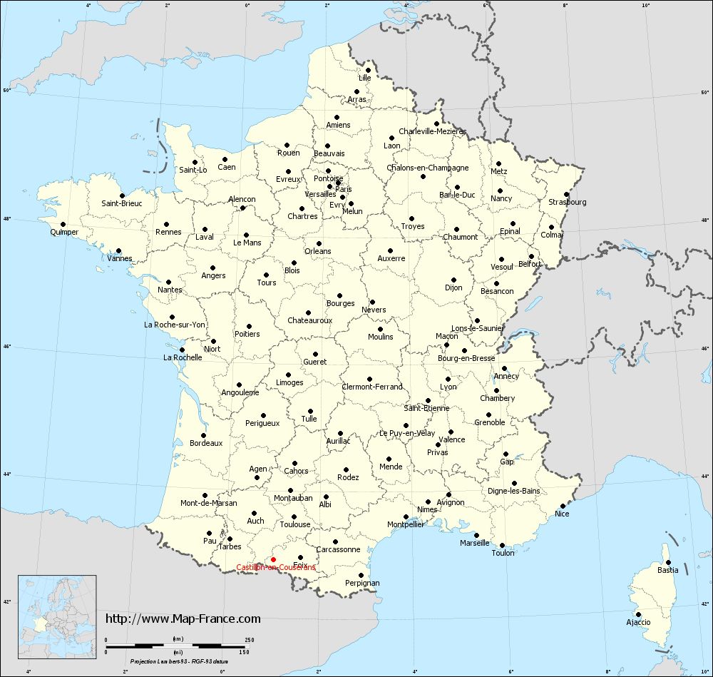
Map of Castillon-en-Couserans with regions and prefectures
|
View the map of Castillon-en-Couserans in full screen (1000 x 949)
|
You will find the location of Castillon-en-Couserans on the map of France of regions in Lambert 93 coordinates. The town of Castillon-en-Couserans is located in the department of Ariège of the french region Midi-Pyrénées.
Geographical sexagesimal coordinates / GPS (WGS84):
Latitude: 42° 55' 14'' North
Longitude: 01° 01' 57'' East
Geographical decimal coordinates :
Latitude: 42.921 degrees (42.921° North)
Longitude: 1.034 degrees (1.034° East)
Lambert 93 coordinates :
X: 5 392 hectometers
Y: 62 044 hectometers
Lambert 2 coordinates :
X: 4 933 hectometers
Y: 17 695 hectometers
Below, the geographical coordinates of Foix, prefecture of the Ariège department:
Geographical sexagesimal coordinates / GPS (WGS84):
Latitude: 42° 57' 55'' North
Longitude: 01° 36' 25'' East
Geographical decimal coordinates :
Latitude: 42.96 degrees (42.96° North)
Longitude: 1.609 degrees (1.609° East)
Lambert 93 coordinates :
X: 5 863 hectometers
Y: 62 083 hectometers
Lambert 2 coordinates :
X: 5 404 hectometers
Y: 17 739 hectometers
|
This map of Castillon-en-Couserans is reusable and modifiable by making a link to this page of the Map-France.com website or by using the given code :
|
Map of Castillon-en-Couserans with departments and prefectures
|
Voir la carte of Castillon-en-Couserans en grand format (1000 x 949)
|
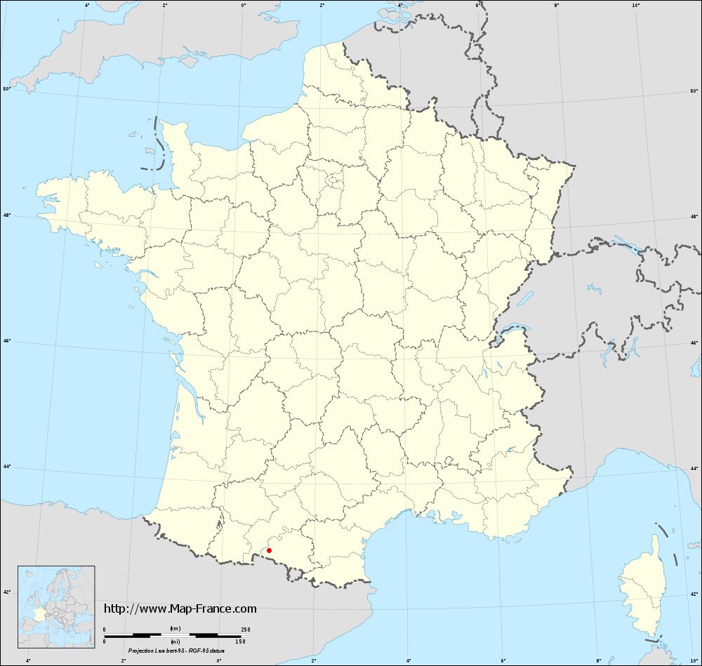
Here is the localization of Castillon-en-Couserans on the France map of departments in Lambert 93 coordinates. The city of Castillon-en-Couserans is shown on the map by a red point.
The town of Castillon-en-Couserans is located in the department of Ariège of the french region Midi-Pyrénées.
The latitude of Castillon-en-Couserans is 42.921 degrees North.
The longitude of Castillon-en-Couserans is 1.034 degrees East.
Here the distance between Castillon-en-Couserans and the biggest cities of France:
Distances are calculated as the crow flies (orthodromic distance)
Distance between Castillon-en-Couserans and Paris : 667.66 kilometers
Distance between Castillon-en-Couserans and Marseille : 356.5 kilometers
Distance between Castillon-en-Couserans and Lyon : 436.57 kilometers
Distance between Castillon-en-Couserans and Toulouse : 82.6 kilometers
Distance between Castillon-en-Couserans and Nice : 510.86 kilometers
Distance between Castillon-en-Couserans and Nantes : 518.85 kilometers
Distance between Castillon-en-Couserans and Strasbourg : 816.33 kilometers
Distance between Castillon-en-Couserans and Montpellier : 242.13 kilometers
Distance between Castillon-en-Couserans and Bordeaux : 249.4 kilometers
Distance between Castillon-en-Couserans and Lille : 869.77 kilometers
Distance between Castillon-en-Couserans and Rennes : 613.7 kilometers
Distance between Castillon-en-Couserans and Reims : 740.83 kilometers
Clic here to see the map of Castillon-en-Couserans in full screen:
Castillon-en-Couserans on the map of french departments
|
This administrative map of Castillon-en-Couserans is reusable and modifiable by making a link to this page of the Map-France.com website or by using the given code :
|
Administrative base maps of Castillon-en-Couserans
|
See the administrative base map of Castillon-en-Couserans in full screen (1000 x 949)
|
Small administrative base map of Castillon-en-Couserans
|
This base map administrative of Castillon-en-Couserans is reusable and modifiable by making a link to this page of the Map-France.com website or by using the given code :
|
 French Version : http://www.cartesfrance.fr