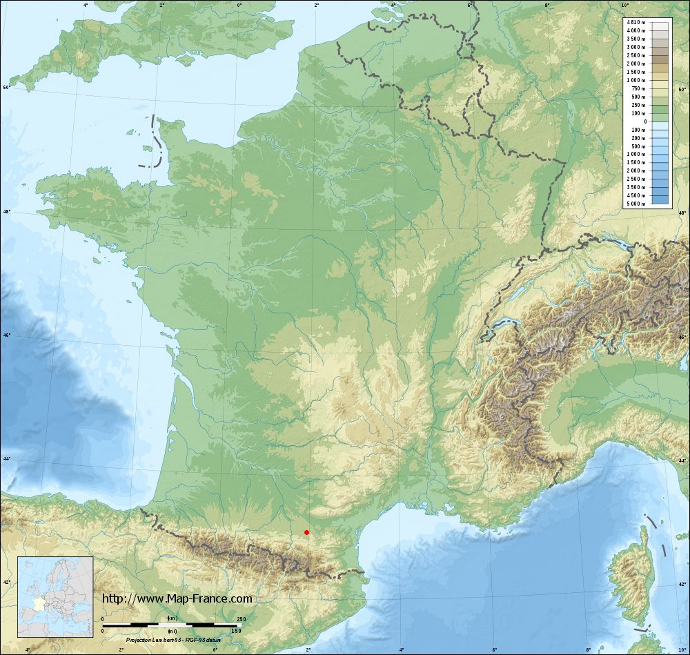
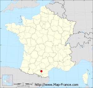
Cazals-des-Baylès on the relief France map in Lambert 93 coordinates
|

See the map of Cazals-des-Baylès in full screen (1000 x 949)
|
At left, here is the location of Cazals-des-Baylès on the relief France map in Lambert 93 coordinates.
Here are the altitudes of Cazals-des-Baylès :
- Town hall altitude of Cazals-des-Baylès is 350 meters
- Minimum altitude of Cazals-des-Baylès is 305 meters
- Maximum altitude of Cazals-des-Baylès is 421 meters
- Medium altitude of Cazals-des-Baylès is 363 meters
Here are the altitudes of Foix, prefecture of Ariège department:
- Town hall altitude of Foix is 380 meters
- Minimum altitude of Foix is 358 meters
- Maximum altitude of Foix is 933 meters
- Medium altitude of Foix is 646 meters
Here are the altitudes of the french biggest cities:
Paris : 33 meters
Marseille : 20 meters
Lyon : 237 meters
Toulouse : 146 meters
Nice : 10 meters
Nantes : 20 meters
Strasbourg : 144 meters
Montpellier : 35 meters
Bordeaux : 16 meters
Lille : 20 meters
Rennes : 35 meters
Reims : 83 meters
Click here for the terrain map of Cazals-des-Baylès in full screen:
Relief map of Cazals-des-Baylès
|
This relief map of Cazals-des-Baylès is reusable and modifiable by making a link to this page of the Map-France.com website or by using the given code :
|
Terrain base map of Cazals-des-Baylès
|
See the terrain base map of Cazals-des-Baylès in full screen (1000 x 949)
|
Small relief base map of Cazals-des-Baylès

|
This base map of Cazals-des-Baylès is reusable and modifiable by making a link to this page of the Map-France.com website or by using the given code :
|
Map of Cazals-des-Baylès with regions and prefectures
|
View the map of Cazals-des-Baylès in full screen (1000 x 949)
|
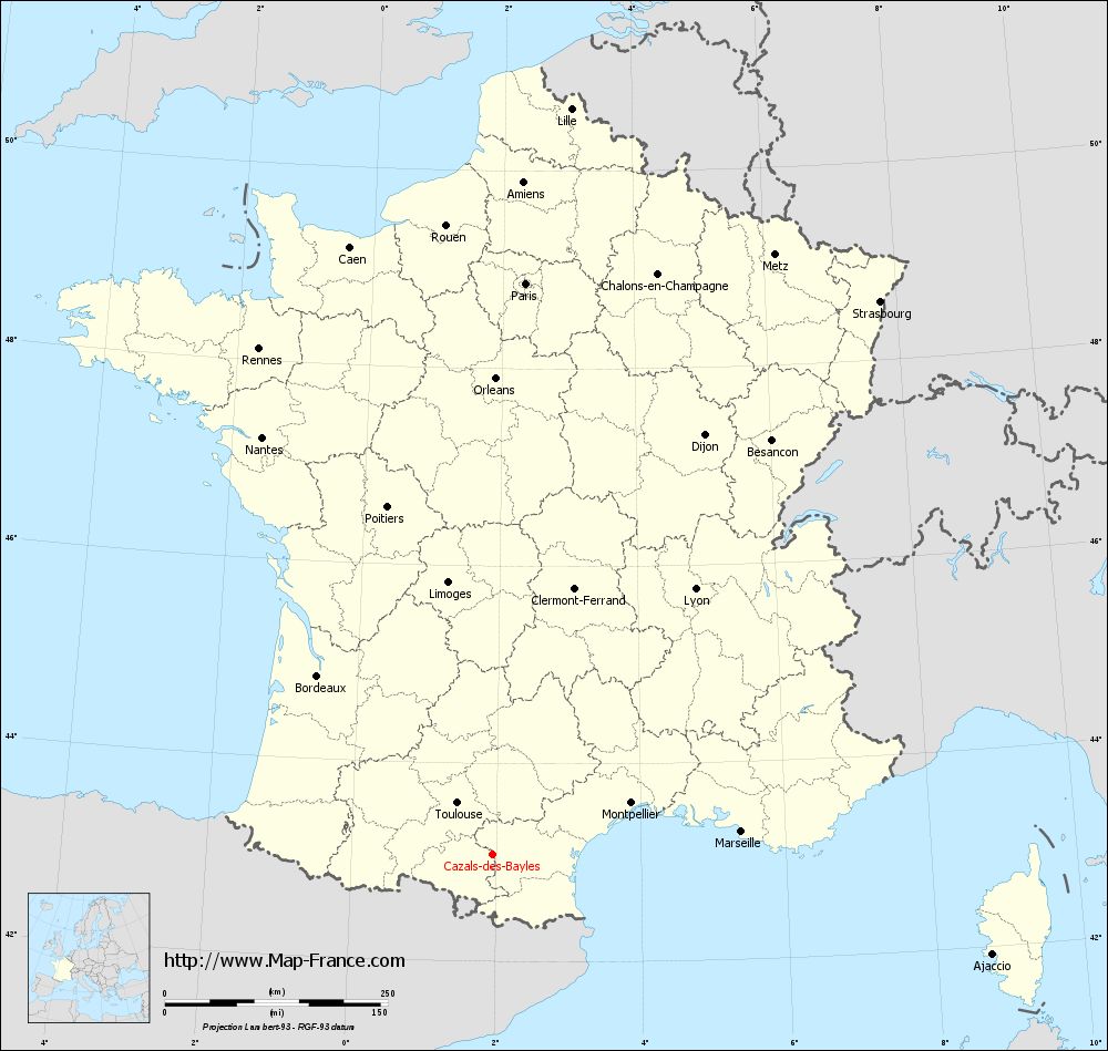
You will find the location of Cazals-des-Baylès on the map of France of regions in Lambert 93 coordinates. The town of Cazals-des-Baylès is located in the department of Ariège of the french region Midi-Pyrénées.
Geographical sexagesimal coordinates / GPS (WGS84):
Latitude: 43° 05' 15'' North
Longitude: 01° 56' 50'' East
Geographical decimal coordinates :
Latitude: 43.088 degrees (43.088° North)
Longitude: 1.947 degrees (1.947° East)
Lambert 93 coordinates :
X: 6 142 hectometers
Y: 62 215 hectometers
Lambert 2 coordinates :
X: 5 682 hectometers
Y: 17 873 hectometers
Below, the geographical coordinates of Foix, prefecture of the Ariège department:
Geographical sexagesimal coordinates / GPS (WGS84):
Latitude: 42° 57' 55'' North
Longitude: 01° 36' 25'' East
Geographical decimal coordinates :
Latitude: 42.96 degrees (42.96° North)
Longitude: 1.609 degrees (1.609° East)
Lambert 93 coordinates :
X: 5 863 hectometers
Y: 62 083 hectometers
Lambert 2 coordinates :
X: 5 404 hectometers
Y: 17 739 hectometers
|
This map of Cazals-des-Baylès is reusable and modifiable by making a link to this page of the Map-France.com website or by using the given code :
|
Map of Cazals-des-Baylès with departments and prefectures
|
Voir la carte of Cazals-des-Baylès en grand format (1000 x 949)
|
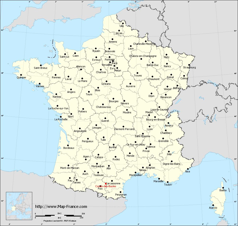
Here is the localization of Cazals-des-Baylès on the France map of departments in Lambert 93 coordinates. The city of Cazals-des-Baylès is shown on the map by a red point.
The town of Cazals-des-Baylès is located in the department of Ariège of the french region Midi-Pyrénées.
The latitude of Cazals-des-Baylès is 43.088 degrees North.
The longitude of Cazals-des-Baylès is 1.947 degrees East.
Here the distance between Cazals-des-Baylès and the biggest cities of France:
Distances are calculated as the crow flies (orthodromic distance)
Distance between Cazals-des-Baylès and Paris : 642.19 kilometers
Distance between Cazals-des-Baylès and Marseille : 280.57 kilometers
Distance between Cazals-des-Baylès and Lyon : 374.97 kilometers
Distance between Cazals-des-Baylès and Toulouse : 69.68 kilometers
Distance between Cazals-des-Baylès and Nice : 434.46 kilometers
Distance between Cazals-des-Baylès and Nantes : 534.65 kilometers
Distance between Cazals-des-Baylès and Strasbourg : 757.92 kilometers
Distance between Cazals-des-Baylès and Montpellier : 166.09 kilometers
Distance between Cazals-des-Baylès and Bordeaux : 280.57 kilometers
Distance between Cazals-des-Baylès and Lille : 841.92 kilometers
Distance between Cazals-des-Baylès and Rennes : 624.85 kilometers
Distance between Cazals-des-Baylès and Reims : 704.01 kilometers
Clic here to see the map of Cazals-des-Baylès in full screen:
Cazals-des-Baylès on the map of french departments
|
This administrative map of Cazals-des-Baylès is reusable and modifiable by making a link to this page of the Map-France.com website or by using the given code :
|
Administrative base maps of Cazals-des-Baylès
|

See the administrative base map of Cazals-des-Baylès in full screen (1000 x 949)
|
Small administrative base map of Cazals-des-Baylès
|
This base map administrative of Cazals-des-Baylès is reusable and modifiable by making a link to this page of the Map-France.com website or by using the given code :
|
 French Version : http://www.cartesfrance.fr