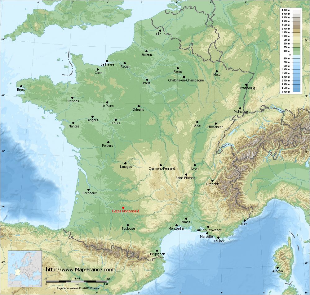
Cazes-Mondenard on the relief France map in Lambert 93 coordinates
|
See the map of Cazes-Mondenard in full screen (1000 x 949)
|
At left, here is the location of Cazes-Mondenard on the relief France map in Lambert 93 coordinates.
Here are the altitudes of Cazes-Mondenard :
- Town hall altitude of Cazes-Mondenard is 140 meters
- Minimum altitude of Cazes-Mondenard is 93 meters
- Maximum altitude of Cazes-Mondenard is 253 meters
- Medium altitude of Cazes-Mondenard is 173 meters
Here are the altitudes of Montauban, prefecture of Tarn-et-Garonne department:
- Town hall altitude of Montauban is 103 meters
- Minimum altitude of Montauban is 72 meters
- Maximum altitude of Montauban is 207 meters
- Medium altitude of Montauban is 140 meters
Here are the altitudes of the french biggest cities:
Paris : 33 meters
Marseille : 20 meters
Lyon : 237 meters
Toulouse : 146 meters
Nice : 10 meters
Nantes : 20 meters
Strasbourg : 144 meters
Montpellier : 35 meters
Bordeaux : 16 meters
Lille : 20 meters
Rennes : 35 meters
Reims : 83 meters
Click here for the terrain map of Cazes-Mondenard in full screen:
Relief map of Cazes-Mondenard
|
This relief map of Cazes-Mondenard is reusable and modifiable by making a link to this page of the Map-France.com website or by using the given code :
|
Terrain base map of Cazes-Mondenard
|

See the terrain base map of Cazes-Mondenard in full screen (1000 x 949)
|
Small relief base map of Cazes-Mondenard
|
This base map of Cazes-Mondenard is reusable and modifiable by making a link to this page of the Map-France.com website or by using the given code :
|
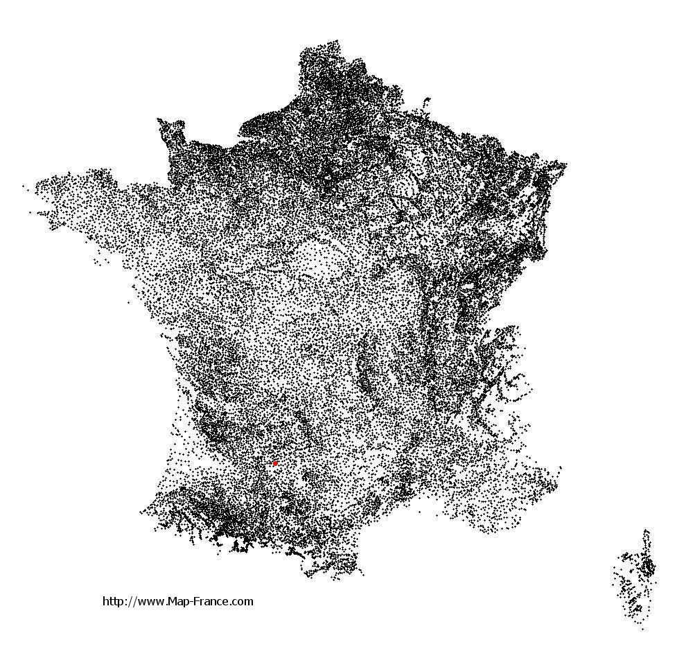
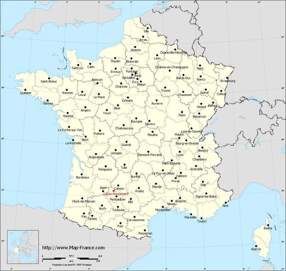
Map of Cazes-Mondenard with regions and prefectures
|
View the map of Cazes-Mondenard in full screen (1000 x 949)
|
You will find the location of Cazes-Mondenard on the map of France of regions in Lambert 93 coordinates. The town of Cazes-Mondenard is located in the department of Tarn-et-Garonne of the french region Midi-Pyrénées.
Geographical sexagesimal coordinates / GPS (WGS84):
Latitude: 44° 13' 37'' North
Longitude: 01° 12' 08'' East
Geographical decimal coordinates :
Latitude: 44.228 degrees (44.228° North)
Longitude: 1.202 degrees (1.202° East)
Lambert 93 coordinates :
X: 5 564 hectometers
Y: 63 492 hectometers
Lambert 2 coordinates :
X: 5 093 hectometers
Y: 19 146 hectometers
Below, the geographical coordinates of Montauban, prefecture of the Tarn-et-Garonne department:
Geographical sexagesimal coordinates / GPS (WGS84):
Latitude: 44° 01' 02'' North
Longitude: 01° 21' 18'' East
Geographical decimal coordinates :
Latitude: 44.018 degrees (44.018° North)
Longitude: 1.36 degrees (1.36° East)
Lambert 93 coordinates :
X: 5 681 hectometers
Y: 63 256 hectometers
Lambert 2 coordinates :
X: 5 212 hectometers
Y: 18 911 hectometers
|
This map of Cazes-Mondenard is reusable and modifiable by making a link to this page of the Map-France.com website or by using the given code :
|
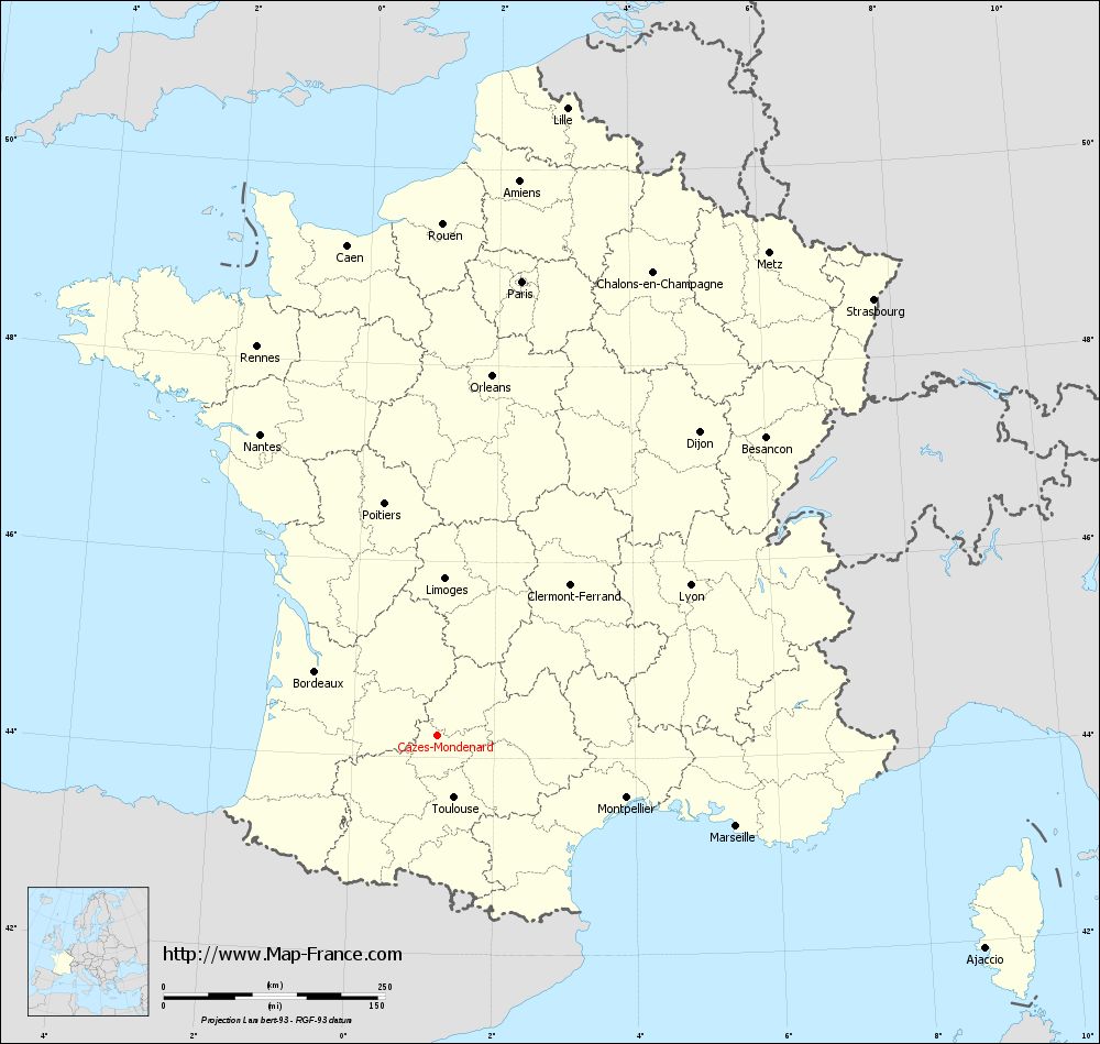
Map of Cazes-Mondenard with departments and prefectures
|
Voir la carte of Cazes-Mondenard en grand format (1000 x 949)
|
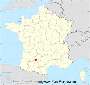
Here is the localization of Cazes-Mondenard on the France map of departments in Lambert 93 coordinates. The city of Cazes-Mondenard is shown on the map by a red point.
The town of Cazes-Mondenard is located in the department of Tarn-et-Garonne of the french region Midi-Pyrénées.
The latitude of Cazes-Mondenard is 44.228 degrees North.
The longitude of Cazes-Mondenard is 1.202 degrees East.
Here the distance between Cazes-Mondenard and the biggest cities of France:
Distances are calculated as the crow flies (orthodromic distance)
Distance between Cazes-Mondenard and Paris : 522.07 kilometers
Distance between Cazes-Mondenard and Marseille : 352.24 kilometers
Distance between Cazes-Mondenard and Lyon : 332.24 kilometers
Distance between Cazes-Mondenard and Toulouse : 72.54 kilometers
Distance between Cazes-Mondenard and Nice : 487.93 kilometers
Distance between Cazes-Mondenard and Nantes : 395.1 kilometers
Distance between Cazes-Mondenard and Strasbourg : 696.91 kilometers
Distance between Cazes-Mondenard and Montpellier : 224.6 kilometers
Distance between Cazes-Mondenard and Bordeaux : 156.47 kilometers
Distance between Cazes-Mondenard and Lille : 724.38 kilometers
Distance between Cazes-Mondenard and Rennes : 484.7 kilometers
Distance between Cazes-Mondenard and Reims : 598.82 kilometers
Clic here to see the map of Cazes-Mondenard in full screen:
Cazes-Mondenard on the map of french departments
|
This administrative map of Cazes-Mondenard is reusable and modifiable by making a link to this page of the Map-France.com website or by using the given code :
|
Administrative base maps of Cazes-Mondenard
|

See the administrative base map of Cazes-Mondenard in full screen (1000 x 949)
|
Small administrative base map of Cazes-Mondenard
|
This base map administrative of Cazes-Mondenard is reusable and modifiable by making a link to this page of the Map-France.com website or by using the given code :
|
 French Version : http://www.cartesfrance.fr