|
The village of Cerniébaud is a small village located east of France. The town of Cerniébaud is located in the department of Jura of the french region Franche-Comté. The town of Cerniébaud is located in the township of Nozeroy part of the district of Lons-le-Saunier. The area code for Cerniébaud is 39085 (also known as code INSEE), and the Cerniébaud zip code is 39250.
Geography and map of Cerniébaud :
The altitude of the city hall of Cerniébaud is approximately 984 meters. The Cerniébaud surface is 10.53 km ². The latitude and longitude of Cerniébaud are 46.733 degrees North and 6.102 degrees East.
Nearby cities and towns of Cerniébaud are :
Fraroz (39250) at 1.07 km, Arsure-Arsurette (39250) at 2.18 km, La Latette (39250) at 2.25 km, Le Crouzet (25240) at 4.26 km, Billecul (39250) at 4.59 km, Reculfoz (25240) at 4.62 km, Longcochon (39250) at 5.27 km, Les Pontets (25240) at 5.53 km.
(The distances to these nearby towns of Cerniébaud are calculated as the crow flies)
Population and housing of Cerniébaud :
The population of Cerniébaud was 53 in 1999, 62 in 2006 and 64 in 2007. The population density of Cerniébaud is 6.08 inhabitants per km². The number of housing of Cerniébaud was 77 in 2007. These homes of Cerniébaud consist of 25 main residences, 52 second or occasional homes and 0 vacant homes. |
|
|
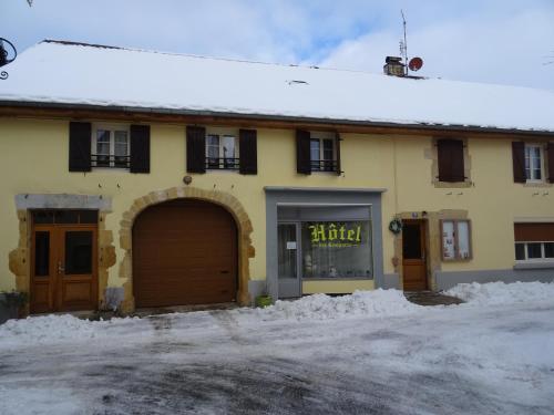
Hotel Cerniébaud
|
|
|
Book now ! Best Price Guaranteed, no booking fees, pay at the hotel with our partner Booking.com, leader in online hotel reservation.
Find all hotels of Cerniébaud : Hotel Cerniébaud
| |
|
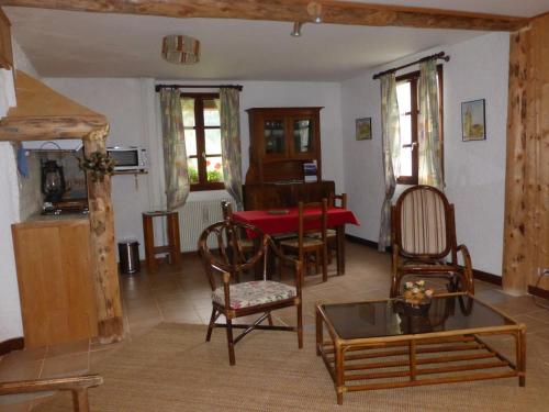
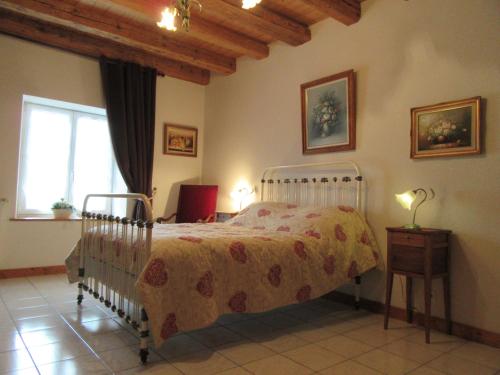
Guest accommodation : Auberge Le Sillet
Set in an old, renovated barn, just 2 km from Nozeroy Train Station and 14 km from Frasne Train Station,Auberge Le Sillet offers a regional restaurant with a fireplace and a woo...
Rate : from 45.00 €
to 108.00 €
Address : 1, rue Saint-Anne 39250 Longcochon
Distance Guest accommodation - Cerniébaud : 5.50 km
|
|
|
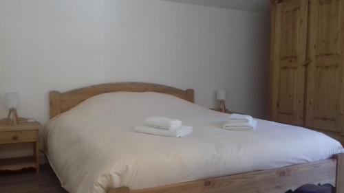
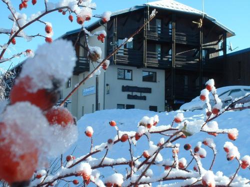
Hotel : Auberge du grand Git

Boasting ski-to-door access, Auberge du grand Git is located in La Chaux Neuve and is 1.1 km from Cote Feuillee Lift. Among the various facilities of this property are a garden ...
Price : from 25.00 €
to 95.00 €
Contact : 8 Rue des Chaumelles 25240 La Chaux Neuve
Distance Hotel - Cerniébaud : 6.27 km
|
|
|
Hotel : Hôtel Les Tremplins

Located in Chaux-Neuve, Hôtel Les Tremplins has a terrace. You can relax with a drink from the bar and dine at the on-site restaurant. Free WiFi is offered. Free private parking...
Prices : from 31.50 €
to 105.00 €
Contact : 2 Grande Rue 25240 La Chaux Neuve
Distance Hotel - Cerniébaud : 6.36 km
|
|
|
Hotel : Les Remparts
Located in the medieval city of Nozeroy, Les Remparts is 30 km from Pontarlier, 15 km from Champagnole and 15 km from Frasne Train Station. It offers an outdoor swimming pool, f...
Rate : from 58.50 €
to 105.00 €
Contact : 5 bis, rue Agriculture 39250 Nozeroy
Distance Hotel - Cerniébaud : 6.83 km
|
|
|
Guest accommodation : Clarines
Located in Mouthe, 2.8 km from Mouthe – Massif du Noirmont, Clarines provides a living room with a flat-screen TV, and free WiFi. Guests staying at this chalet have access to a ...
Address : 1 chalet du beau site 25240 Mouthe
Distance Guest accommodation - Cerniébaud : 6.88 km
|
|
|
Guest accommodation : Le Castel Blanc
Le Castel Blanc is a renovated 1660s farmhouse located in Châtelblanc and surrounded by a garden with swings and BBQ facilities. It provides a self-catering accommodation, guest...
Prices : from 80.00 €
to 122.00 €
Contact : Chatelblanc 25240 Châtelblanc
Distance Guest accommodation - Cerniébaud : 6.98 km
|
|
|
Guest accommodation : le chalet de la source
Le chalet de la source in Mouthe has ski-to-door access and a garden. Offering a restaurant, the property also has a terrace. Staff on site can arrange airport transfers. All g...
Rate : from 80.00 €
to 130.00 €
Contact : Rue de la Source du Doubs 25240 Mouthe
Distance Guest accommodation - Cerniébaud : 8.00 km
|
|
|
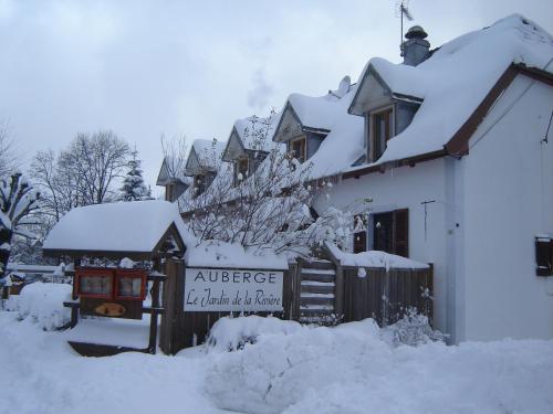
Hotel : Le Jardin de la Rivière
In Foncine-le-Haut, Le Jardin de la Rivière is typical house of the Jura Region and offers an outdoor swimming pool and ski storage. It is just 20 metres from the Saine River Ba...
Price : from 60.00 €
to 90.00 €
Contact : 6 rue d'isles 39460 Foncine-le-Haut
Distance Hotel - Cerniébaud : 8.51 km
|
|
|
Guest accommodation : gites du petit sarrageois
Situated 3.8 km from Mouthe – Massif du Noirmont in Mouthe, gites du petit sarrageois offers accommodation with a kitchen. Offering free WiFi, the property also has barbecue fac...
Address : 2 Route de Mouthe 25240 Mouthe
Distance Guest accommodation - Cerniébaud : 8.54 km
|
|
|
Hotel : Hôtel Le Grand Chalet
Set in the Jura Mountains, this hotel is 2.5 km from the centre of Foncine-le-Haut with its ski tow. It features a sauna, an indoor pool and you can relax on the sun terrace aro...
Rate : from 140.00 €
to 214.00 €
Contact : Val Foncine 39460 Foncine-le-Haut
Distance Hotel - Cerniébaud : 9.37 km
|
|
Find another hotel near Cerniébaud : Cerniébaud hotels list
|
Map of Cerniébaud
|
|
Map of Cerniébaud :
At right you can find the localization of Cerniébaud on the map of France. Below, this is the satellite map of Cerniébaud. A road map, and maps templates of Cerniébaud are available here : "road map of Cerniébaud". This map show Cerniébaud seen by the satellite of Google Map. To see the streets of Cerniébaud or move on another zone, use the buttons "zoom" and "map" on top of this dynamic map.
Search on the map of Cerniébaud :
To search hotels, housings, tourist information office, administrations or other services, use the Google search integrated to the map on the following page : "map Cerniébaud".
Hotels of Cerniébaud are listed on the map with the following icons: 
The map of Cerniébaud is centred in the following coordinates :
|

|
|
|
|
Print the map of Cerniébaud

Print the map of Cerniébaud : map of Cerniébaud
|
Photos Cerniébaud
|
See all photos of Cerniébaud :
Other photos of Cerniébaud and nearby towns can be found here: photos Cerniébaud
|
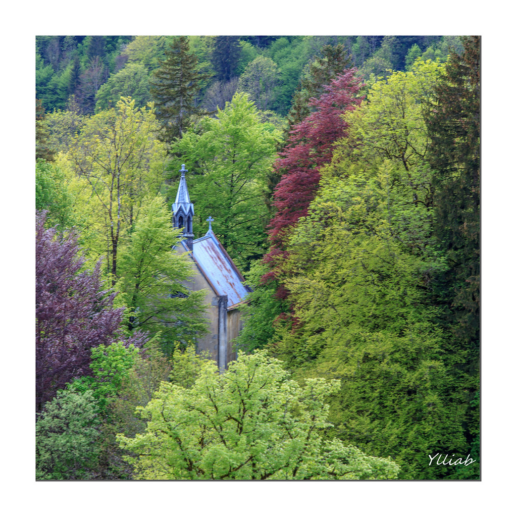
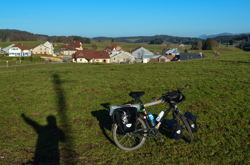
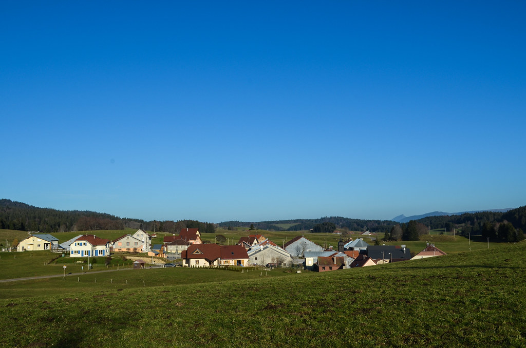
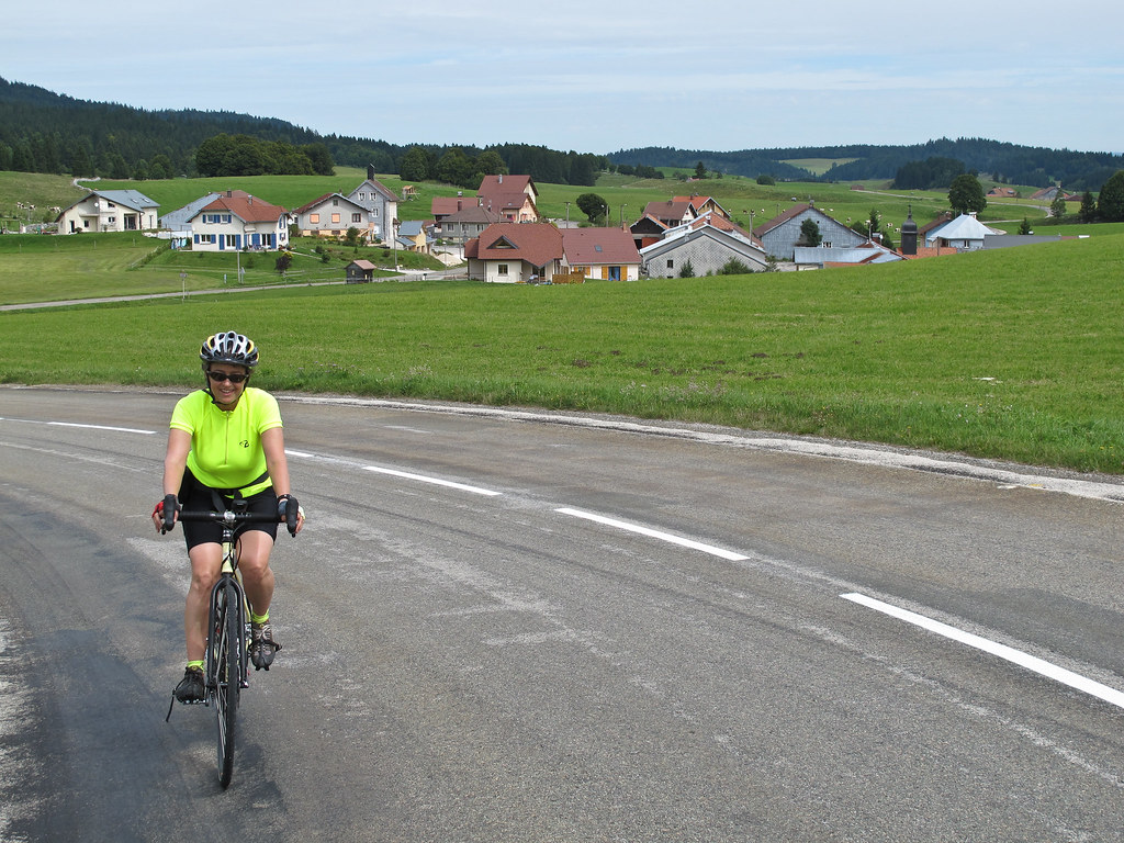
These photos taken near the town of Cerniébaud can be shown in full screen clicking on the thumbnails. Photos are copyrighted by their owners.
| | |
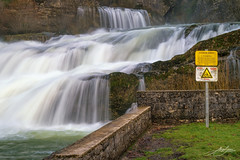
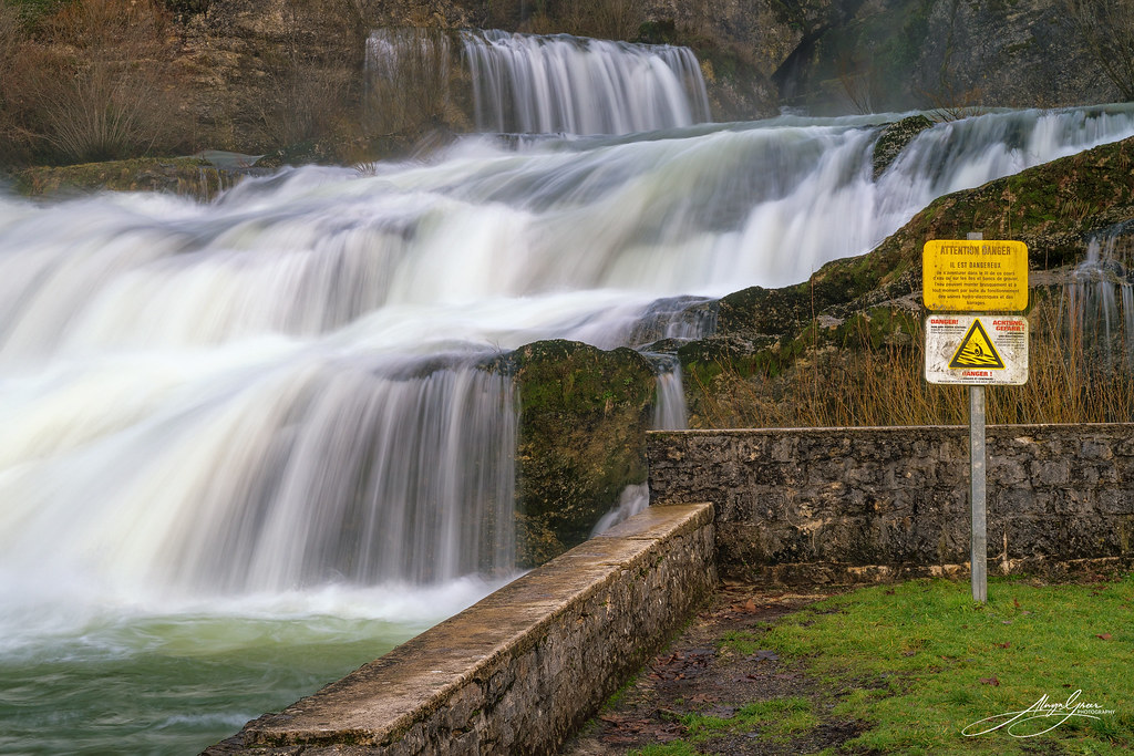
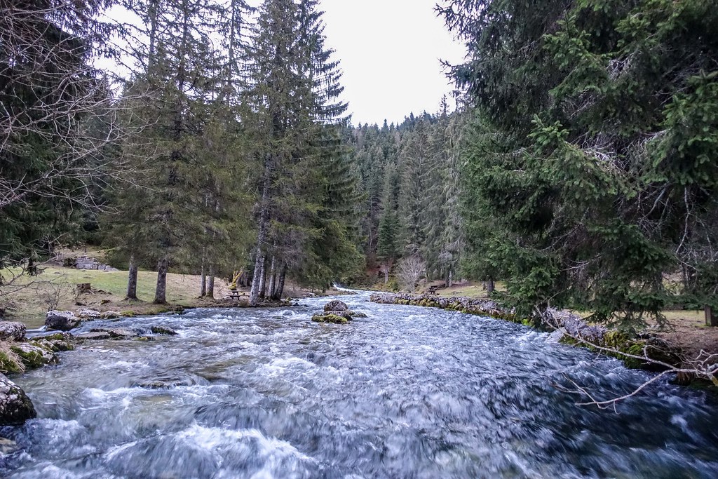
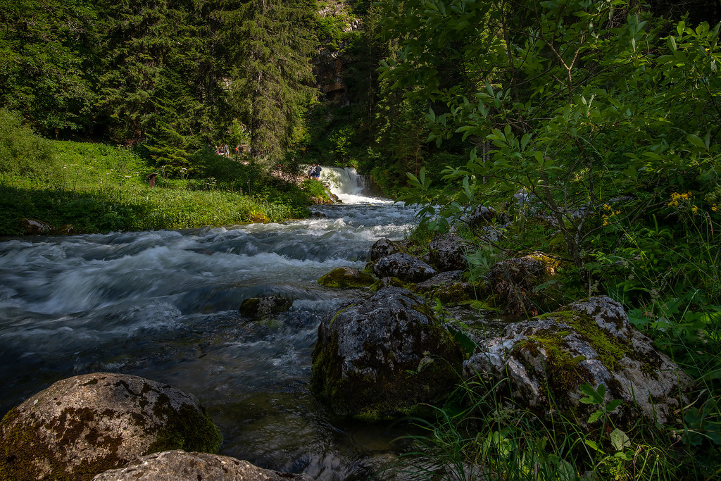
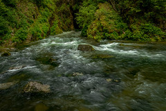
Les Pertes de L-Ain, Jura, France.
|
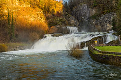
Les Pertes de L-Ain, Jura, France.
|
| |

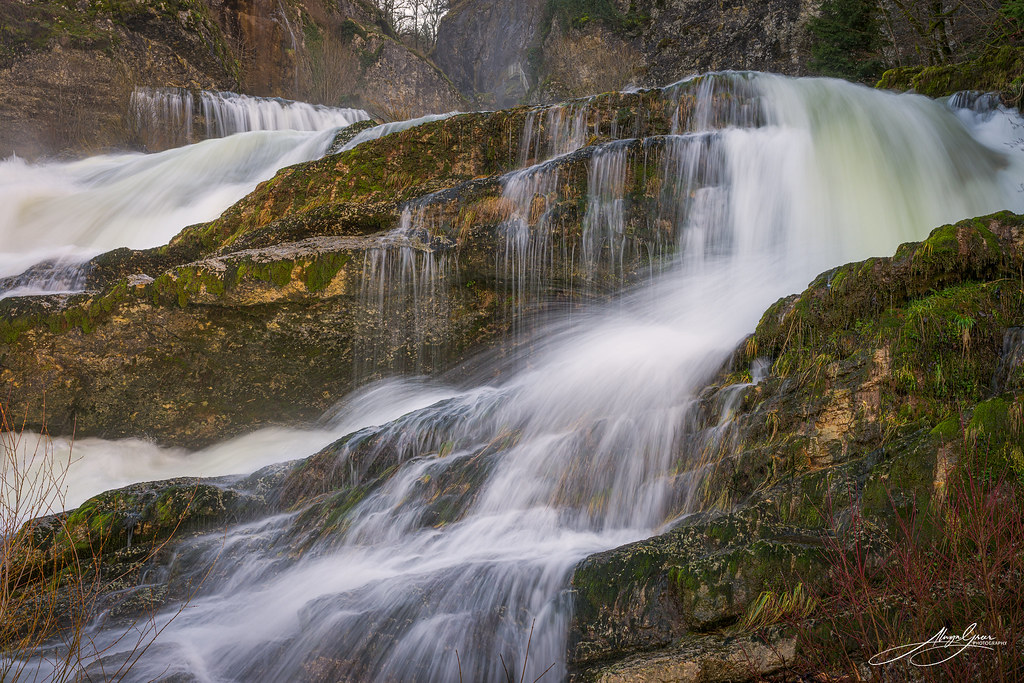
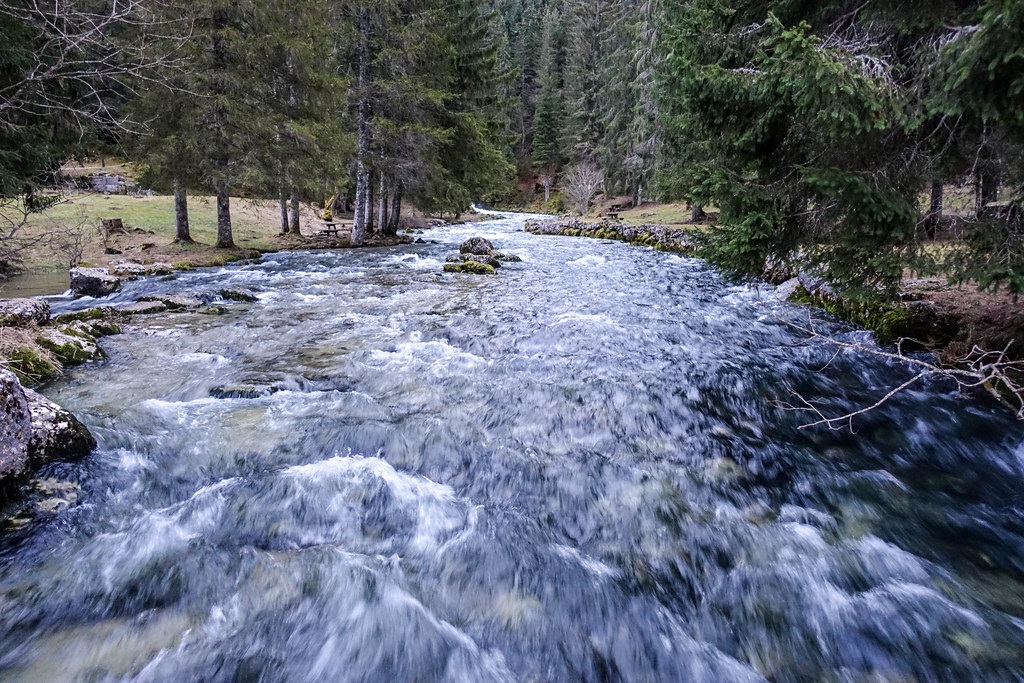
Les Pertes de L-Ain, Jura, France.
|
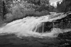
Les Pertes de L-Ain, Jura, France.
|
| |
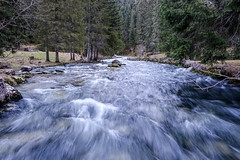
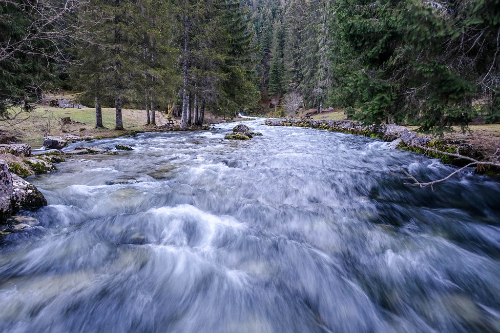
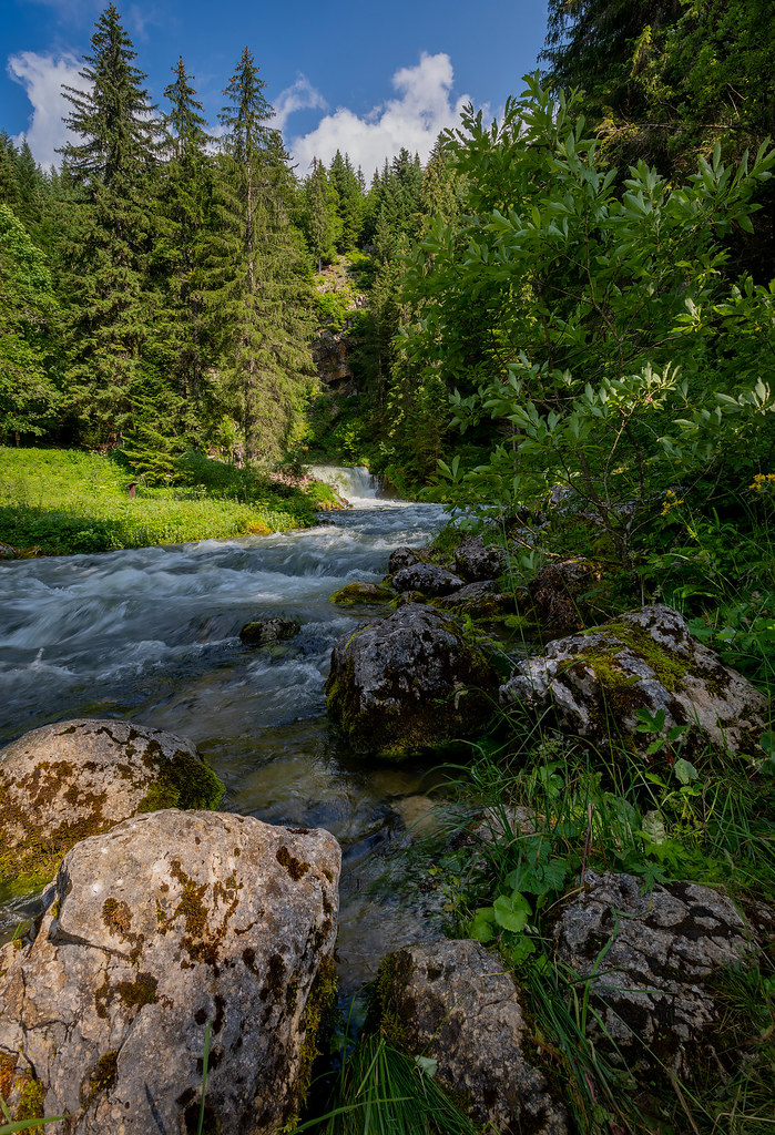
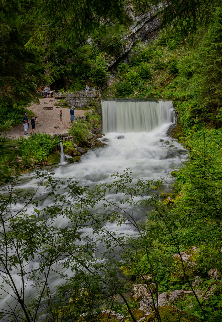
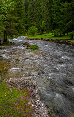
Source du Doubs a Mouthe
|

Source du Doubs a Mouthe
|
| |

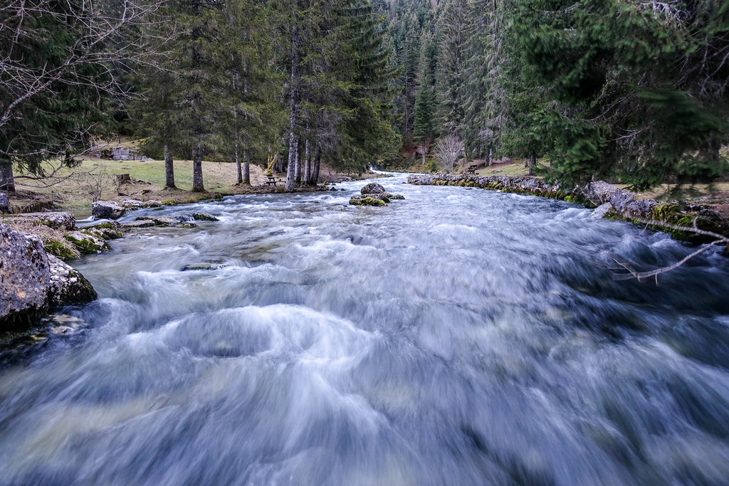
Source du Doubs a Mouthe
|
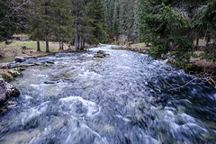
Source du Doubs a Mouthe
|
| |

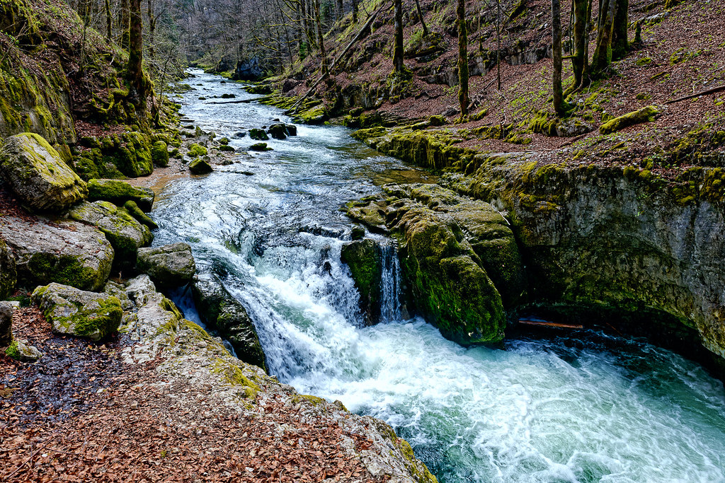
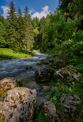
Gorges de la Saine - Jura - France
|
Source of the Doubs river, Franche-Comté
|
| |
Source of the Doubs river, Franche-Comté
|
Source of the Doubs river, Franche-Comté
|
| |

Source of the Doubs river, Franche-Comté
|
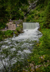
Waterfall at the source of the Doubs river, Franche-Comté
|
| |

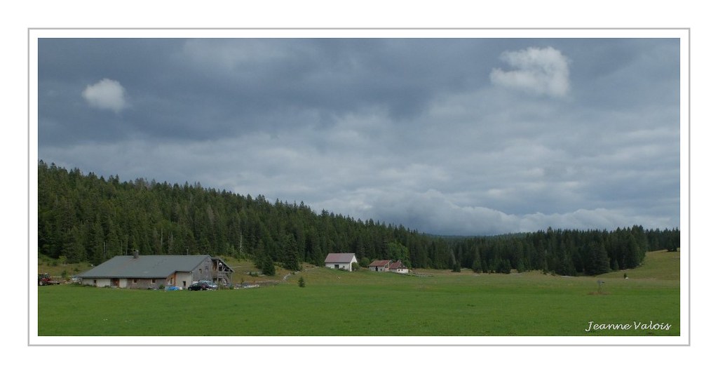
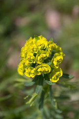
La Perruque et le pré Poncet (Doubs)
|

OXFAM-XEE
|
| |
La Discrète - Au milieu de la couleur
|
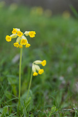
Coucou
|
| |
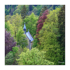
Beau Bouquet !
|
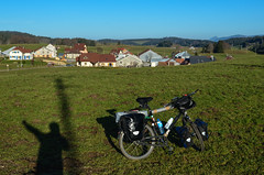
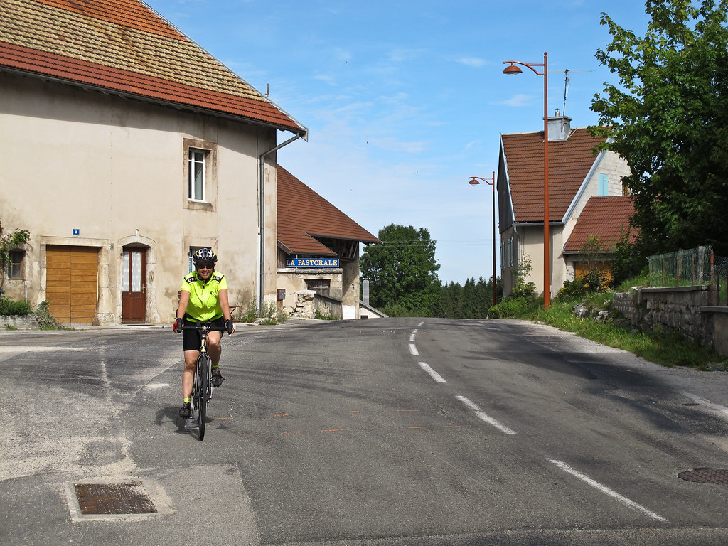
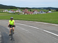
Day011-Bike-121114
|
| |

20121114-DSC_1712
|
IMG_1796
|
| |

IMG_1770
|
|
Cerniébaud weather forecast
Find next hours and 7 days weather forecast for Cerniébaud here : weather Cerniébaud (with english metrics)
This is the last weather forecast for Cerniébaud collected by the nearest observation station of Nozeroy.
Week Forecast:
The latest weather data for Cerniébaud were collected Friday, 31 July 2026 at 19:03 from the nearest observation station of Nozeroy.
| Friday, July 31st |
30°C 15°C
66%
66%
|
Rain
Temperature Max: 30°C Temperature Min: 15°C
Precipitation Probability: 66% (Rain)
Percentage of sky occluded by clouds: 66%
Wind speed: 12 km/h North-East
Humidity: 46%° UV Index: 5
Sunrise: 06:14 Sunset: 21:09 |
|
| | Saturday, August 1st |
27°C 15°C
36%
45%
|
Drizzle
Temperature Max: 27°C Temperature Min: 15°C
Precipitation Probability: 36% (Rain)
Percentage of sky occluded by clouds: 45%
Wind speed: 8 km/h South-East
Humidity: 63%° UV Index: 6
Sunrise: 06:16 Sunset: 21:08 |
|
| | Sunday, August 2nd |
30°C 15°C
0%
26%
|
Mostly clear
Temperature Max: 30°C Temperature Min: 15°C
Precipitation Probability: 0%
Percentage of sky occluded by clouds: 26%
Wind speed: 5 km/h East
Humidity: 47%° UV Index: 7
Sunrise: 06:17 Sunset: 21:06 |
|
| | Monday, August 3rd |
32°C 18°C
37%
32%
|
Drizzle
Temperature Max: 32°C Temperature Min: 18°C
Precipitation Probability: 37% (Rain)
Percentage of sky occluded by clouds: 32%
Wind speed: 9 km/h North-East
Humidity: 41%° UV Index: 7
Sunrise: 06:18 Sunset: 21:05 |
|
|
Attribution: 
|
|
Other maps, hotels and towns in france
Find another town, zip code, department, region, ...
Quick links Cerniébaud :
Make a link to this page of Cerniébaud with the following code :
|
|
|
 French Version : http://www.cartesfrance.fr/carte-france-ville/39085_Cerniebaud.html