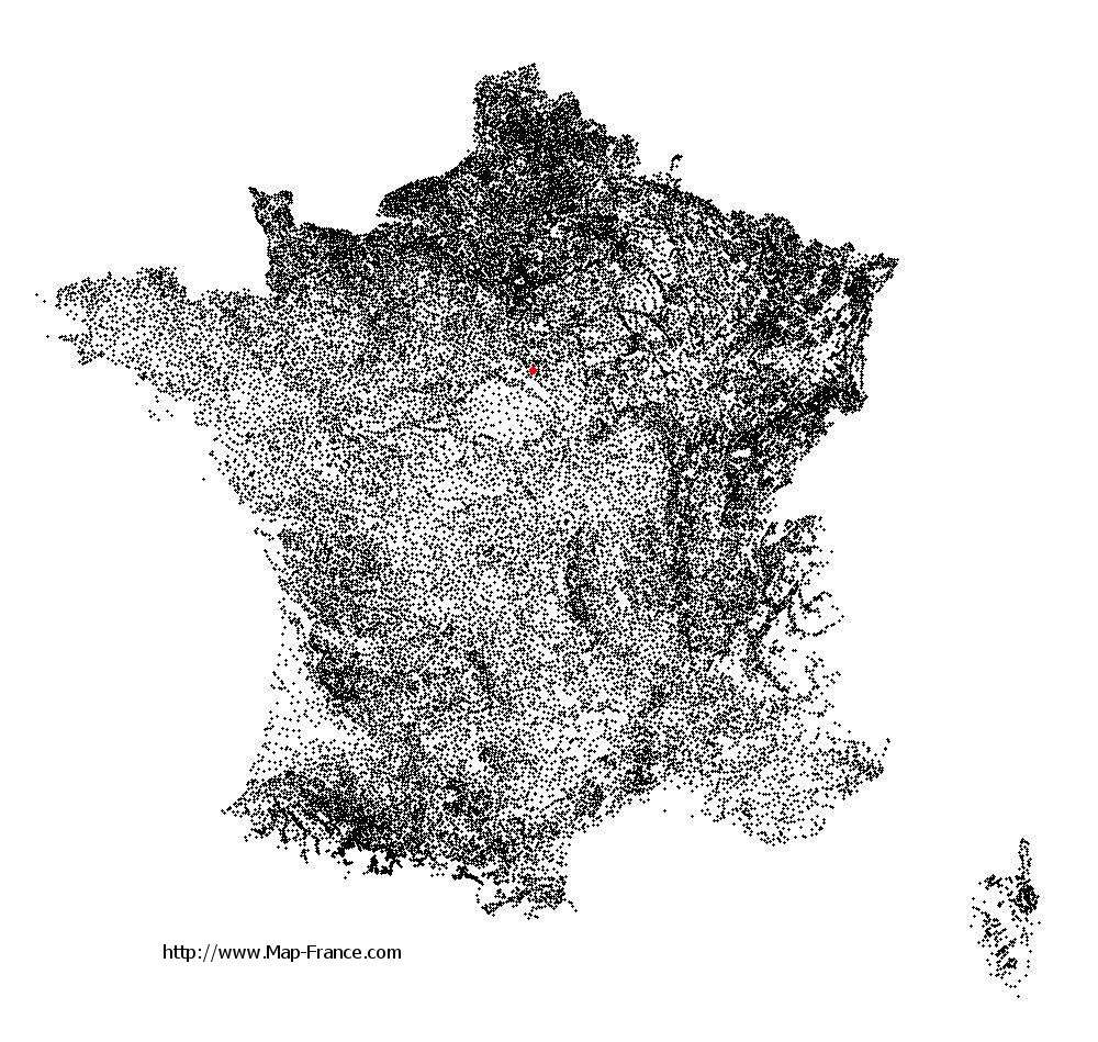
Chailly-en-Gâtinais on the relief France map in Lambert 93 coordinates
|

See the map of Chailly-en-Gâtinais in full screen (1000 x 949)
|
At left, here is the location of Chailly-en-Gâtinais on the relief France map in Lambert 93 coordinates.
Here are the altitudes of Chailly-en-Gâtinais :
- Town hall altitude of Chailly-en-Gâtinais is 100 meters
- Minimum altitude of Chailly-en-Gâtinais is 95 meters
- Maximum altitude of Chailly-en-Gâtinais is 121 meters
- Medium altitude of Chailly-en-Gâtinais is 108 meters
Here are the altitudes of Orléans, prefecture of Loiret department:
- Town hall altitude of Orléans is 110 meters
- Minimum altitude of Orléans is 90 meters
- Maximum altitude of Orléans is 124 meters
- Medium altitude of Orléans is 107 meters
Here are the altitudes of the french biggest cities:
Paris : 33 meters
Marseille : 20 meters
Lyon : 237 meters
Toulouse : 146 meters
Nice : 10 meters
Nantes : 20 meters
Strasbourg : 144 meters
Montpellier : 35 meters
Bordeaux : 16 meters
Lille : 20 meters
Rennes : 35 meters
Reims : 83 meters
Click here for the terrain map of Chailly-en-Gâtinais in full screen:
Relief map of Chailly-en-Gâtinais
|
This relief map of Chailly-en-Gâtinais is reusable and modifiable by making a link to this page of the Map-France.com website or by using the given code :
|
Terrain base map of Chailly-en-Gâtinais
|

See the terrain base map of Chailly-en-Gâtinais in full screen (1000 x 949)
|
Small relief base map of Chailly-en-Gâtinais

|
This base map of Chailly-en-Gâtinais is reusable and modifiable by making a link to this page of the Map-France.com website or by using the given code :
|
Map of Chailly-en-Gâtinais with regions and prefectures
|
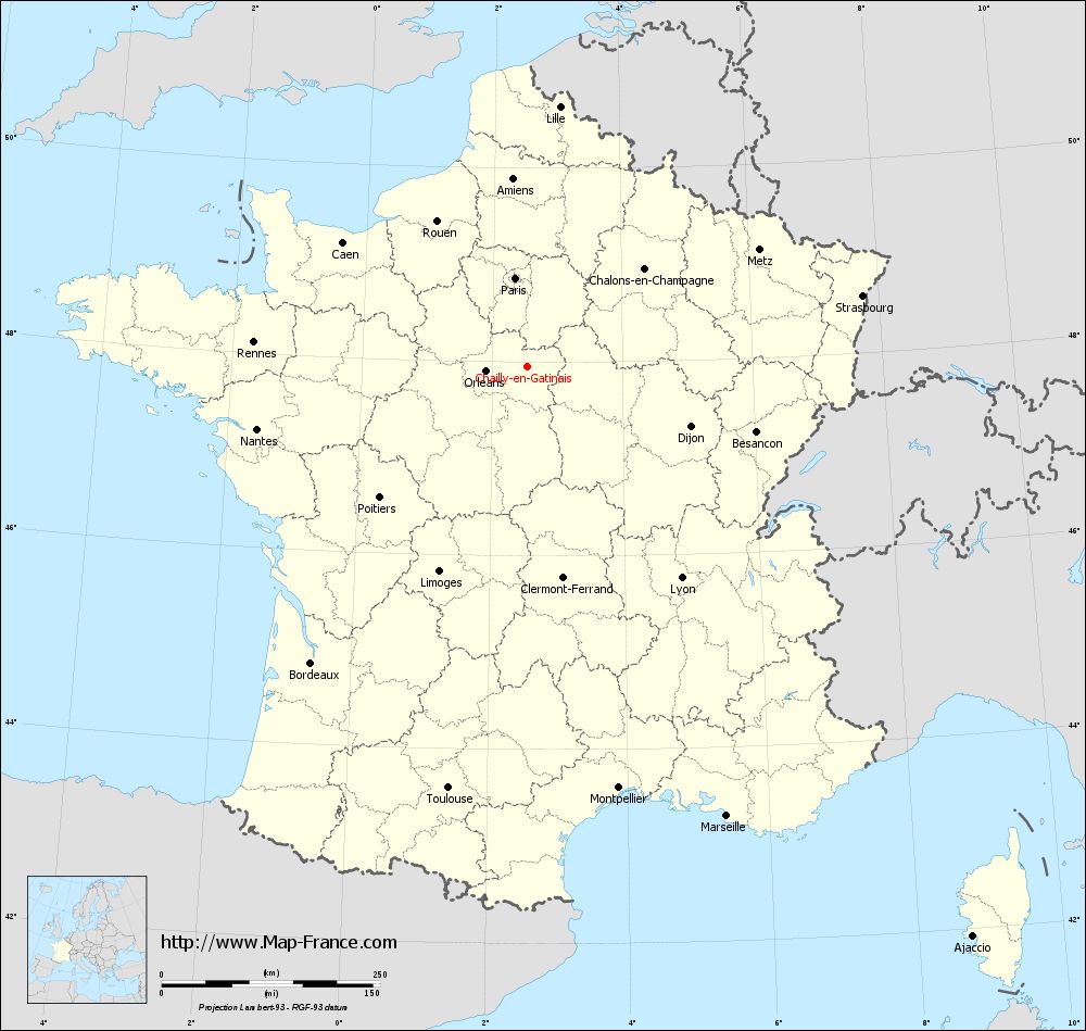
View the map of Chailly-en-Gâtinais in full screen (1000 x 949)
|
You will find the location of Chailly-en-Gâtinais on the map of France of regions in Lambert 93 coordinates. The town of Chailly-en-Gâtinais is located in the department of Loiret of the french region Centre.
Geographical sexagesimal coordinates / GPS (WGS84):
Latitude: 47° 56' 52'' North
Longitude: 02° 32' 34'' East
Geographical decimal coordinates :
Latitude: 47.947 degrees (47.947° North)
Longitude: 2.546 degrees (2.546° East)
Lambert 93 coordinates :
X: 6 659 hectometers
Y: 67 609 hectometers
Lambert 2 coordinates :
X: 6 154 hectometers
Y: 23 276 hectometers
Below, the geographical coordinates of Orléans, prefecture of the Loiret department:
Geographical sexagesimal coordinates / GPS (WGS84):
Latitude: 47° 54' 08'' North
Longitude: 01° 54' 15'' East
Geographical decimal coordinates :
Latitude: 47.904 degrees (47.904° North)
Longitude: 1.907 degrees (1.907° East)
Lambert 93 coordinates :
X: 6 181 hectometers
Y: 67 563 hectometers
Lambert 2 coordinates :
X: 5 677 hectometers
Y: 23 226 hectometers
|
This map of Chailly-en-Gâtinais is reusable and modifiable by making a link to this page of the Map-France.com website or by using the given code :
|
Map of Chailly-en-Gâtinais with departments and prefectures
|
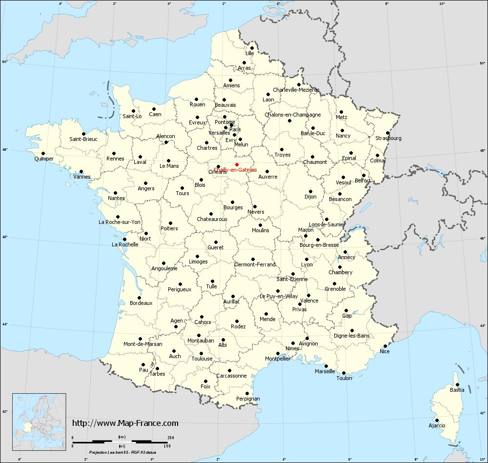
Voir la carte of Chailly-en-Gâtinais en grand format (1000 x 949)
|
Here is the localization of Chailly-en-Gâtinais on the France map of departments in Lambert 93 coordinates. The city of Chailly-en-Gâtinais is shown on the map by a red point.
The town of Chailly-en-Gâtinais is located in the department of Loiret of the french region Centre.
The latitude of Chailly-en-Gâtinais is 47.947 degrees North.
The longitude of Chailly-en-Gâtinais is 2.546 degrees East.
Here the distance between Chailly-en-Gâtinais and the biggest cities of France:
Distances are calculated as the crow flies (orthodromic distance)
Distance between Chailly-en-Gâtinais and Paris : 102.57 kilometers
Distance between Chailly-en-Gâtinais and Marseille : 562.09 kilometers
Distance between Chailly-en-Gâtinais and Lyon : 298.82 kilometers
Distance between Chailly-en-Gâtinais and Toulouse : 490.4 kilometers
Distance between Chailly-en-Gâtinais and Nice : 595.89 kilometers
Distance between Chailly-en-Gâtinais and Nantes : 317.67 kilometers
Distance between Chailly-en-Gâtinais and Strasbourg : 391.7 kilometers
Distance between Chailly-en-Gâtinais and Montpellier : 492.86 kilometers
Distance between Chailly-en-Gâtinais and Bordeaux : 419.61 kilometers
Distance between Chailly-en-Gâtinais and Lille : 300.04 kilometers
Distance between Chailly-en-Gâtinais and Rennes : 314.49 kilometers
Distance between Chailly-en-Gâtinais and Reims : 181.99 kilometers
Clic here to see the map of Chailly-en-Gâtinais in full screen:
Chailly-en-Gâtinais on the map of french departments
|
This administrative map of Chailly-en-Gâtinais is reusable and modifiable by making a link to this page of the Map-France.com website or by using the given code :
|
Administrative base maps of Chailly-en-Gâtinais
|

See the administrative base map of Chailly-en-Gâtinais in full screen (1000 x 949)
|
Small administrative base map of Chailly-en-Gâtinais
|
This base map administrative of Chailly-en-Gâtinais is reusable and modifiable by making a link to this page of the Map-France.com website or by using the given code :
|
 French Version : http://www.cartesfrance.fr