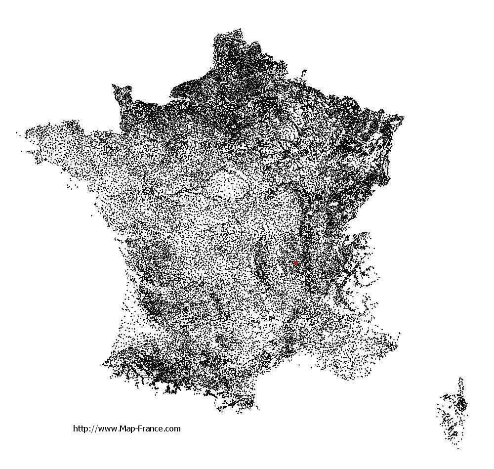
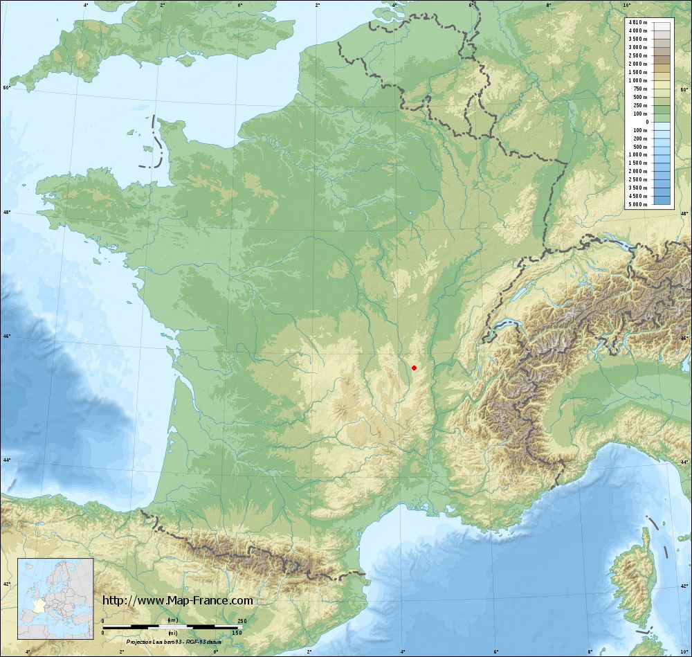
Chambost-Longessaigne on the relief France map in Lambert 93 coordinates
|

See the map of Chambost-Longessaigne in full screen (1000 x 949)
|
At left, here is the location of Chambost-Longessaigne on the relief France map in Lambert 93 coordinates.
Here are the altitudes of Chambost-Longessaigne :
- Town hall altitude of Chambost-Longessaigne is 560 meters
- Minimum altitude of Chambost-Longessaigne is 477 meters
- Maximum altitude of Chambost-Longessaigne is 681 meters
- Medium altitude of Chambost-Longessaigne is 579 meters
Here are the altitudes of Lyon, prefecture of Rhône department:
- Town hall altitude of Lyon is 166 meters
- Minimum altitude of Lyon is 162 meters
- Maximum altitude of Lyon is 312 meters
- Medium altitude of Lyon is 237 meters
Here are the altitudes of the french biggest cities:
Paris : 33 meters
Marseille : 20 meters
Lyon : 237 meters
Toulouse : 146 meters
Nice : 10 meters
Nantes : 20 meters
Strasbourg : 144 meters
Montpellier : 35 meters
Bordeaux : 16 meters
Lille : 20 meters
Rennes : 35 meters
Reims : 83 meters
Click here for the terrain map of Chambost-Longessaigne in full screen:
Relief map of Chambost-Longessaigne
|
This relief map of Chambost-Longessaigne is reusable and modifiable by making a link to this page of the Map-France.com website or by using the given code :
|
Terrain base map of Chambost-Longessaigne
|
See the terrain base map of Chambost-Longessaigne in full screen (1000 x 949)
|
Small relief base map of Chambost-Longessaigne

|
This base map of Chambost-Longessaigne is reusable and modifiable by making a link to this page of the Map-France.com website or by using the given code :
|
Map of Chambost-Longessaigne with regions and prefectures
|
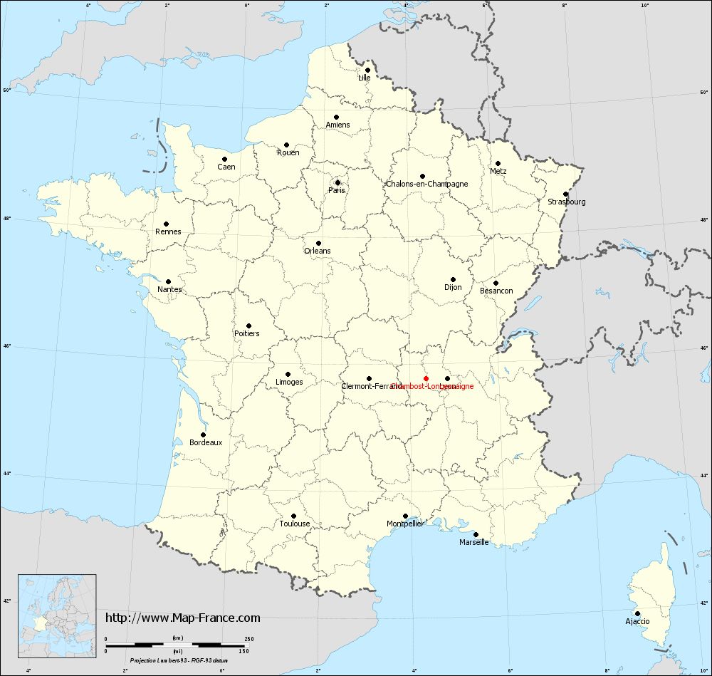
View the map of Chambost-Longessaigne in full screen (1000 x 949)
|
You will find the location of Chambost-Longessaigne on the map of France of regions in Lambert 93 coordinates. The town of Chambost-Longessaigne is located in the department of Rhône of the french region Rhône-Alpes.
Geographical sexagesimal coordinates / GPS (WGS84):
Latitude: 45° 46' 22'' North
Longitude: 04° 22' 09'' East
Geographical decimal coordinates :
Latitude: 45.775 degrees (45.775° North)
Longitude: 4.367 degrees (4.367° East)
Lambert 93 coordinates :
X: 8 064 hectometers
Y: 65 202 hectometers
Lambert 2 coordinates :
X: 7 581 hectometers
Y: 20 879 hectometers
Below, the geographical coordinates of Lyon, prefecture of the Rhône department:
Geographical sexagesimal coordinates / GPS (WGS84):
Latitude: 45° 45' 32'' North
Longitude: 04° 50' 29'' East
Geographical decimal coordinates :
Latitude: 45.76 degrees (45.76° North)
Longitude: 4.835 degrees (4.835° East)
Lambert 93 coordinates :
X: 8 431 hectometers
Y: 65 194 hectometers
Lambert 2 coordinates :
X: 7 948 hectometers
Y: 20 874 hectometers
|
This map of Chambost-Longessaigne is reusable and modifiable by making a link to this page of the Map-France.com website or by using the given code :
|
Map of Chambost-Longessaigne with departments and prefectures
|
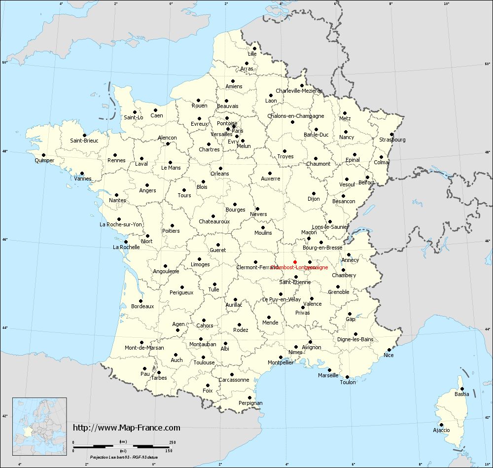
Voir la carte of Chambost-Longessaigne en grand format (1000 x 949)
|
Here is the localization of Chambost-Longessaigne on the France map of departments in Lambert 93 coordinates. The city of Chambost-Longessaigne is shown on the map by a red point.
The town of Chambost-Longessaigne is located in the department of Rhône of the french region Rhône-Alpes.
The latitude of Chambost-Longessaigne is 45.775 degrees North.
The longitude of Chambost-Longessaigne is 4.367 degrees East.
Here the distance between Chambost-Longessaigne and the biggest cities of France:
Distances are calculated as the crow flies (orthodromic distance)
Distance between Chambost-Longessaigne and Paris : 375.11 kilometers
Distance between Chambost-Longessaigne and Marseille : 287.14 kilometers
Distance between Chambost-Longessaigne and Lyon : 36.25 kilometers
Distance between Chambost-Longessaigne and Toulouse : 333.87 kilometers
Distance between Chambost-Longessaigne and Nice : 324.04 kilometers
Distance between Chambost-Longessaigne and Nantes : 480.33 kilometers
Distance between Chambost-Longessaigne and Strasbourg : 403.54 kilometers
Distance between Chambost-Longessaigne and Montpellier : 243.8 kilometers
Distance between Chambost-Longessaigne and Bordeaux : 399.77 kilometers
Distance between Chambost-Longessaigne and Lille : 548.01 kilometers
Distance between Chambost-Longessaigne and Rennes : 526.7 kilometers
Distance between Chambost-Longessaigne and Reims : 387.81 kilometers
Clic here to see the map of Chambost-Longessaigne in full screen:
Chambost-Longessaigne on the map of french departments
|
This administrative map of Chambost-Longessaigne is reusable and modifiable by making a link to this page of the Map-France.com website or by using the given code :
|
Administrative base maps of Chambost-Longessaigne
|

See the administrative base map of Chambost-Longessaigne in full screen (1000 x 949)
|
Small administrative base map of Chambost-Longessaigne
|
This base map administrative of Chambost-Longessaigne is reusable and modifiable by making a link to this page of the Map-France.com website or by using the given code :
|
 French Version : http://www.cartesfrance.fr