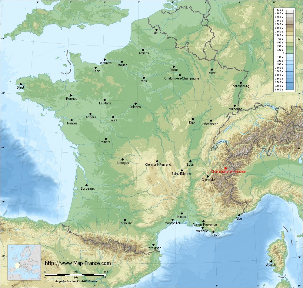
Champagny-en-Vanoise on the relief France map in Lambert 93 coordinates
|
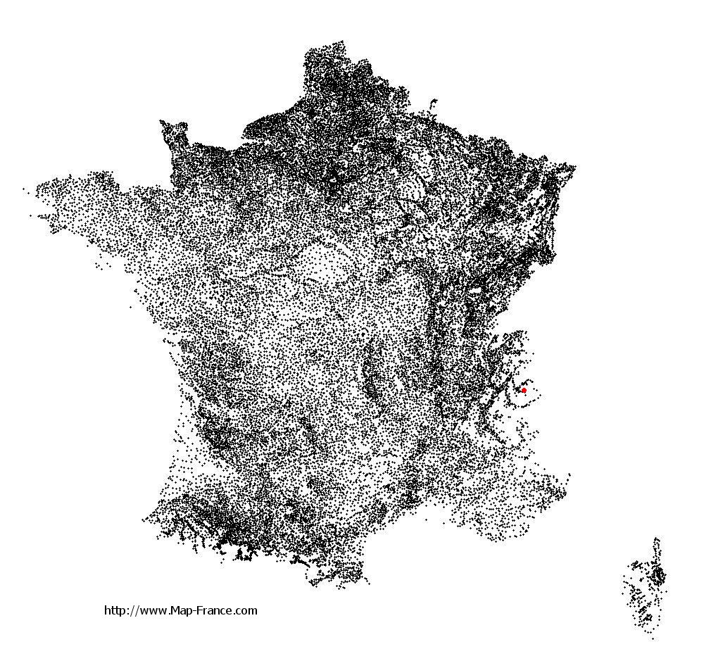
See the map of Champagny-en-Vanoise in full screen (1000 x 949)
|
At left, here is the location of Champagny-en-Vanoise on the relief France map in Lambert 93 coordinates.
Here are the altitudes of Champagny-en-Vanoise :
- Town hall altitude of Champagny-en-Vanoise is 1 200 meters
- Minimum altitude of Champagny-en-Vanoise is 960 meters
- Maximum altitude of Champagny-en-Vanoise is 3 855 meters
- Medium altitude of Champagny-en-Vanoise is 2 408 meters
Here are the altitudes of Chambéry, prefecture of Savoie department:
- Town hall altitude of Chambéry is 273 meters
- Minimum altitude of Chambéry is 245 meters
- Maximum altitude of Chambéry is 560 meters
- Medium altitude of Chambéry is 403 meters
Here are the altitudes of the french biggest cities:
Paris : 33 meters
Marseille : 20 meters
Lyon : 237 meters
Toulouse : 146 meters
Nice : 10 meters
Nantes : 20 meters
Strasbourg : 144 meters
Montpellier : 35 meters
Bordeaux : 16 meters
Lille : 20 meters
Rennes : 35 meters
Reims : 83 meters
Click here for the terrain map of Champagny-en-Vanoise in full screen:
Relief map of Champagny-en-Vanoise
|
This relief map of Champagny-en-Vanoise is reusable and modifiable by making a link to this page of the Map-France.com website or by using the given code :
|
Terrain base map of Champagny-en-Vanoise
|

See the terrain base map of Champagny-en-Vanoise in full screen (1000 x 949)
|
Small relief base map of Champagny-en-Vanoise

|
This base map of Champagny-en-Vanoise is reusable and modifiable by making a link to this page of the Map-France.com website or by using the given code :
|
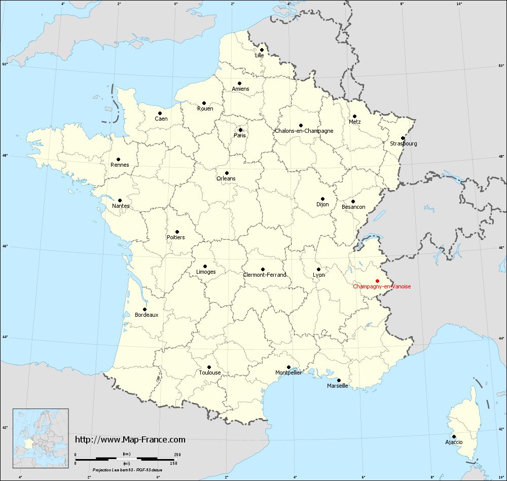
Map of Champagny-en-Vanoise with regions and prefectures
|
View the map of Champagny-en-Vanoise in full screen (1000 x 949)
|
You will find the location of Champagny-en-Vanoise on the map of France of regions in Lambert 93 coordinates. The town of Champagny-en-Vanoise is located in the department of Savoie of the french region Rhône-Alpes.
Geographical sexagesimal coordinates / GPS (WGS84):
Latitude: 45° 27' 16'' North
Longitude: 06° 41' 33'' East
Geographical decimal coordinates :
Latitude: 45.454 degrees (45.454° North)
Longitude: 6.692 degrees (6.692° East)
Lambert 93 coordinates :
X: 9 885 hectometers
Y: 64 906 hectometers
Lambert 2 coordinates :
X: 9 406 hectometers
Y: 20 599 hectometers
Below, the geographical coordinates of Chambéry, prefecture of the Savoie department:
Geographical sexagesimal coordinates / GPS (WGS84):
Latitude: 45° 33' 59'' North
Longitude: 05° 55' 15'' East
Geographical decimal coordinates :
Latitude: 45.571 degrees (45.571° North)
Longitude: 5.919 degrees (5.919° East)
Lambert 93 coordinates :
X: 9 278 hectometers
Y: 65 005 hectometers
Lambert 2 coordinates :
X: 8 797 hectometers
Y: 20 693 hectometers
|
This map of Champagny-en-Vanoise is reusable and modifiable by making a link to this page of the Map-France.com website or by using the given code :
|
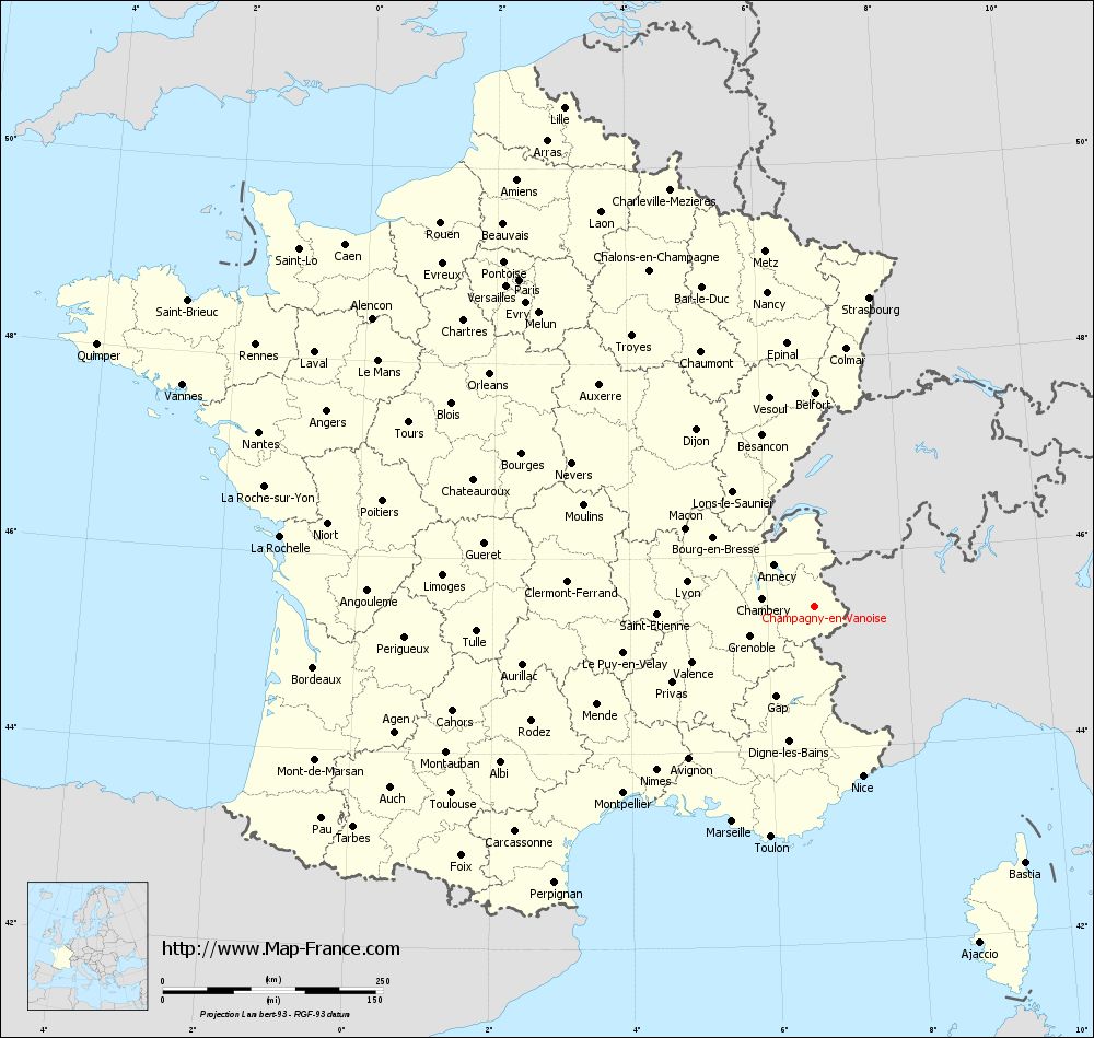
Map of Champagny-en-Vanoise with departments and prefectures
|
Voir la carte of Champagny-en-Vanoise en grand format (1000 x 949)
|
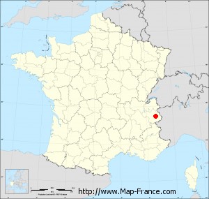
Here is the localization of Champagny-en-Vanoise on the France map of departments in Lambert 93 coordinates. The city of Champagny-en-Vanoise is shown on the map by a red point.
The town of Champagny-en-Vanoise is located in the department of Savoie of the french region Rhône-Alpes.
The latitude of Champagny-en-Vanoise is 45.454 degrees North.
The longitude of Champagny-en-Vanoise is 6.692 degrees East.
Here the distance between Champagny-en-Vanoise and the biggest cities of France:
Distances are calculated as the crow flies (orthodromic distance)
Distance between Champagny-en-Vanoise and Paris : 500.95 kilometers
Distance between Champagny-en-Vanoise and Marseille : 260.65 kilometers
Distance between Champagny-en-Vanoise and Lyon : 148.31 kilometers
Distance between Champagny-en-Vanoise and Toulouse : 463.37 kilometers
Distance between Champagny-en-Vanoise and Nice : 199.36 kilometers
Distance between Champagny-en-Vanoise and Nantes : 661.9 kilometers
Distance between Champagny-en-Vanoise and Strasbourg : 357.02 kilometers
Distance between Champagny-en-Vanoise and Montpellier : 303.01 kilometers
Distance between Champagny-en-Vanoise and Bordeaux : 573.29 kilometers
Distance between Champagny-en-Vanoise and Lille : 635.34 kilometers
Distance between Champagny-en-Vanoise and Rennes : 701.46 kilometers
Distance between Champagny-en-Vanoise and Reims : 467.64 kilometers
Clic here to see the map of Champagny-en-Vanoise in full screen:
Champagny-en-Vanoise on the map of french departments
|
This administrative map of Champagny-en-Vanoise is reusable and modifiable by making a link to this page of the Map-France.com website or by using the given code :
|
Administrative base maps of Champagny-en-Vanoise
|

See the administrative base map of Champagny-en-Vanoise in full screen (1000 x 949)
|
Small administrative base map of Champagny-en-Vanoise
|
This base map administrative of Champagny-en-Vanoise is reusable and modifiable by making a link to this page of the Map-France.com website or by using the given code :
|
 French Version : http://www.cartesfrance.fr