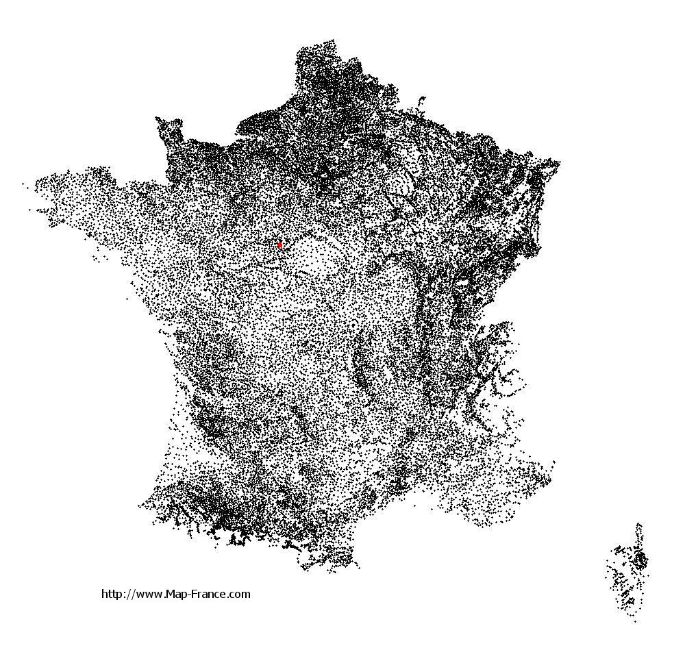
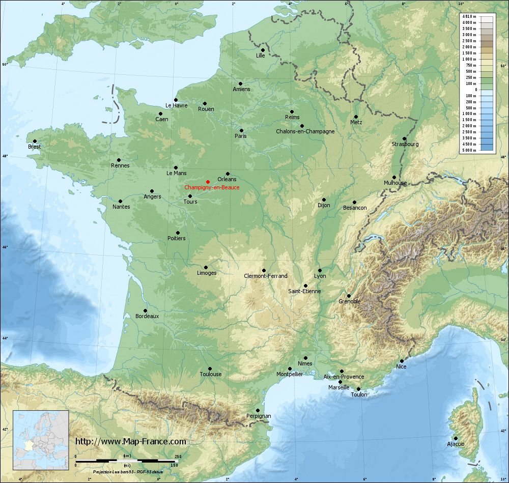
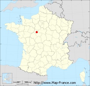
Champigny-en-Beauce on the relief France map in Lambert 93 coordinates
|
See the map of Champigny-en-Beauce in full screen (1000 x 949)
|
At left, here is the location of Champigny-en-Beauce on the relief France map in Lambert 93 coordinates.
Here are the altitudes of Champigny-en-Beauce :
- Town hall altitude of Champigny-en-Beauce is 120 meters
- Minimum altitude of Champigny-en-Beauce is 92 meters
- Maximum altitude of Champigny-en-Beauce is 129 meters
- Medium altitude of Champigny-en-Beauce is 111 meters
Here are the altitudes of Blois, prefecture of Loir-et-Cher department:
- Town hall altitude of Blois is 100 meters
- Minimum altitude of Blois is 63 meters
- Maximum altitude of Blois is 135 meters
- Medium altitude of Blois is 99 meters
Here are the altitudes of the french biggest cities:
Paris : 33 meters
Marseille : 20 meters
Lyon : 237 meters
Toulouse : 146 meters
Nice : 10 meters
Nantes : 20 meters
Strasbourg : 144 meters
Montpellier : 35 meters
Bordeaux : 16 meters
Lille : 20 meters
Rennes : 35 meters
Reims : 83 meters
Click here for the terrain map of Champigny-en-Beauce in full screen:
Relief map of Champigny-en-Beauce
|
This relief map of Champigny-en-Beauce is reusable and modifiable by making a link to this page of the Map-France.com website or by using the given code :
|
Terrain base map of Champigny-en-Beauce
|

See the terrain base map of Champigny-en-Beauce in full screen (1000 x 949)
|
Small relief base map of Champigny-en-Beauce

|
This base map of Champigny-en-Beauce is reusable and modifiable by making a link to this page of the Map-France.com website or by using the given code :
|
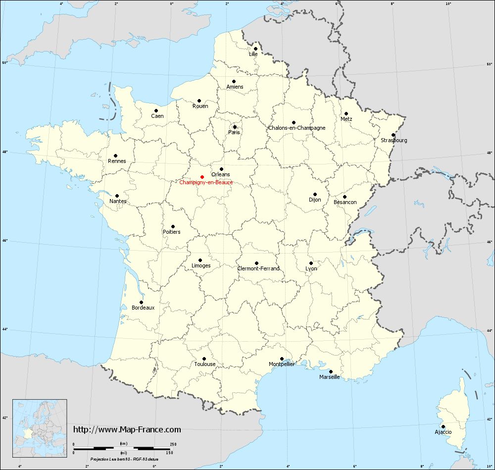
Map of Champigny-en-Beauce with regions and prefectures
|
View the map of Champigny-en-Beauce in full screen (1000 x 949)
|
You will find the location of Champigny-en-Beauce on the map of France of regions in Lambert 93 coordinates. The town of Champigny-en-Beauce is located in the department of Loir-et-Cher of the french region Centre.
Geographical sexagesimal coordinates / GPS (WGS84):
Latitude: 47° 42' 43'' North
Longitude: 01° 15' 21'' East
Geographical decimal coordinates :
Latitude: 47.711 degrees (47.711° North)
Longitude: 1.257 degrees (1.257° East)
Lambert 93 coordinates :
X: 5 692 hectometers
Y: 67 361 hectometers
Lambert 2 coordinates :
X: 5 189 hectometers
Y: 23 019 hectometers
Below, the geographical coordinates of Blois, prefecture of the Loir-et-Cher department:
Geographical sexagesimal coordinates / GPS (WGS84):
Latitude: 47° 35' 35'' North
Longitude: 01° 19' 38'' East
Geographical decimal coordinates :
Latitude: 47.589 degrees (47.589° North)
Longitude: 1.327 degrees (1.327° East)
Lambert 93 coordinates :
X: 5 743 hectometers
Y: 67 227 hectometers
Lambert 2 coordinates :
X: 5 241 hectometers
Y: 22 887 hectometers
|
This map of Champigny-en-Beauce is reusable and modifiable by making a link to this page of the Map-France.com website or by using the given code :
|
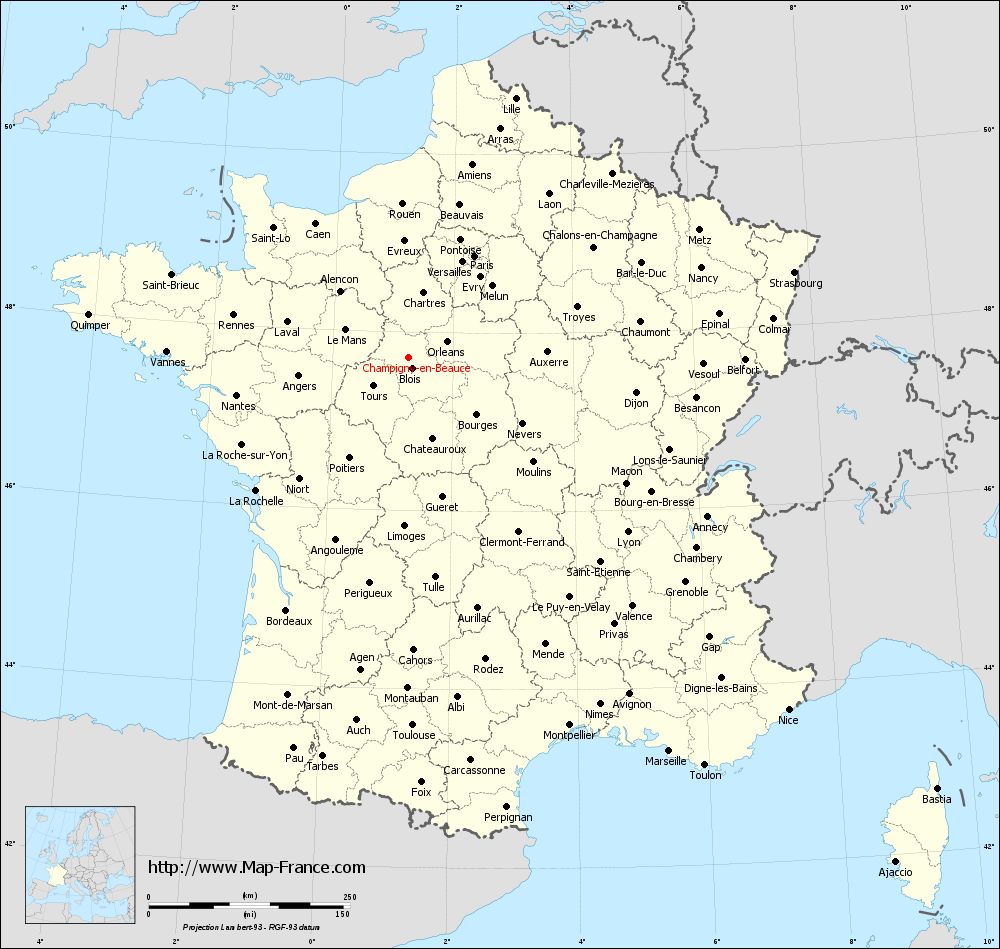
Map of Champigny-en-Beauce with departments and prefectures
|
Voir la carte of Champigny-en-Beauce en grand format (1000 x 949)
|
Here is the localization of Champigny-en-Beauce on the France map of departments in Lambert 93 coordinates. The city of Champigny-en-Beauce is shown on the map by a red point.
The town of Champigny-en-Beauce is located in the department of Loir-et-Cher of the french region Centre.
The latitude of Champigny-en-Beauce is 47.711 degrees North.
The longitude of Champigny-en-Beauce is 1.257 degrees East.
Here the distance between Champigny-en-Beauce and the biggest cities of France:
Distances are calculated as the crow flies (orthodromic distance)
Distance between Champigny-en-Beauce and Paris : 150.97 kilometers
Distance between Champigny-en-Beauce and Marseille : 586.76 kilometers
Distance between Champigny-en-Beauce and Lyon : 348.1 kilometers
Distance between Champigny-en-Beauce and Toulouse : 457.02 kilometers
Distance between Champigny-en-Beauce and Nice : 643.9 kilometers
Distance between Champigny-en-Beauce and Nantes : 218.09 kilometers
Distance between Champigny-en-Beauce and Strasbourg : 491.26 kilometers
Distance between Champigny-en-Beauce and Montpellier : 498.96 kilometers
Distance between Champigny-en-Beauce and Bordeaux : 348.31 kilometers
Distance between Champigny-en-Beauce and Lille : 349.11 kilometers
Distance between Champigny-en-Beauce and Rennes : 223.15 kilometers
Distance between Champigny-en-Beauce and Reims : 266.95 kilometers
Clic here to see the map of Champigny-en-Beauce in full screen:
Champigny-en-Beauce on the map of french departments
|
This administrative map of Champigny-en-Beauce is reusable and modifiable by making a link to this page of the Map-France.com website or by using the given code :
|
Administrative base maps of Champigny-en-Beauce
|

See the administrative base map of Champigny-en-Beauce in full screen (1000 x 949)
|
Small administrative base map of Champigny-en-Beauce
|
This base map administrative of Champigny-en-Beauce is reusable and modifiable by making a link to this page of the Map-France.com website or by using the given code :
|
 French Version : http://www.cartesfrance.fr