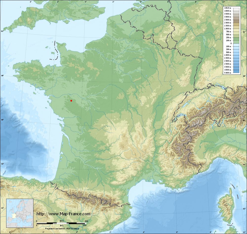
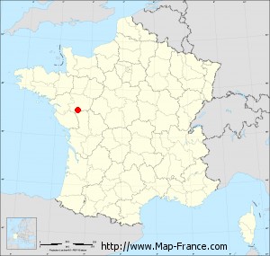
Chanteloup-les-Bois on the relief France map in Lambert 93 coordinates
|

See the map of Chanteloup-les-Bois in full screen (1000 x 949)
|
At left, here is the location of Chanteloup-les-Bois on the relief France map in Lambert 93 coordinates.
Here are the altitudes of Chanteloup-les-Bois :
- Town hall altitude of Chanteloup-les-Bois is 170 meters
- Minimum altitude of Chanteloup-les-Bois is 128 meters
- Maximum altitude of Chanteloup-les-Bois is 191 meters
- Medium altitude of Chanteloup-les-Bois is 160 meters
Here are the altitudes of Angers, prefecture of Maine-et-Loire department:
- Town hall altitude of Angers is 30 meters
- Minimum altitude of Angers is 12 meters
- Maximum altitude of Angers is 64 meters
- Medium altitude of Angers is 38 meters
Here are the altitudes of the french biggest cities:
Paris : 33 meters
Marseille : 20 meters
Lyon : 237 meters
Toulouse : 146 meters
Nice : 10 meters
Nantes : 20 meters
Strasbourg : 144 meters
Montpellier : 35 meters
Bordeaux : 16 meters
Lille : 20 meters
Rennes : 35 meters
Reims : 83 meters
Click here for the terrain map of Chanteloup-les-Bois in full screen:
Relief map of Chanteloup-les-Bois
|
This relief map of Chanteloup-les-Bois is reusable and modifiable by making a link to this page of the Map-France.com website or by using the given code :
|
Terrain base map of Chanteloup-les-Bois
|
See the terrain base map of Chanteloup-les-Bois in full screen (1000 x 949)
|
Small relief base map of Chanteloup-les-Bois
|
This base map of Chanteloup-les-Bois is reusable and modifiable by making a link to this page of the Map-France.com website or by using the given code :
|
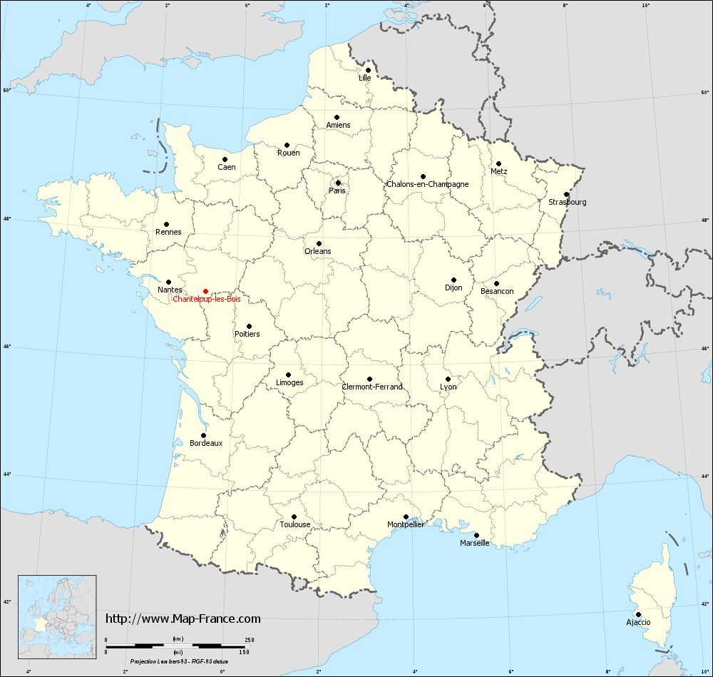
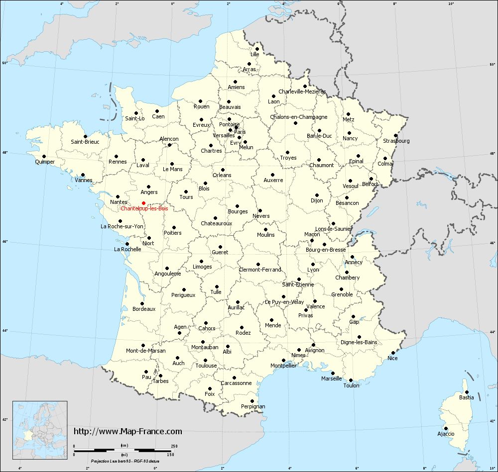
Map of Chanteloup-les-Bois with regions and prefectures
|
View the map of Chanteloup-les-Bois in full screen (1000 x 949)
|
You will find the location of Chanteloup-les-Bois on the map of France of regions in Lambert 93 coordinates. The town of Chanteloup-les-Bois is located in the department of Maine-et-Loire of the french region Pays de la Loire.
Geographical sexagesimal coordinates / GPS (WGS84):
Latitude: 47° 05' 41'' North
Longitude: 00° 41' 08'' West
Geographical decimal coordinates :
Latitude: 47.094 degrees (47.094° North)
Longitude: -0.684 degrees (0.684° West)
Lambert 93 coordinates :
X: 4 205 hectometers
Y: 66 726 hectometers
Lambert 2 coordinates :
X: 3 706 hectometers
Y: 22 372 hectometers
Below, the geographical coordinates of Angers, prefecture of the Maine-et-Loire department:
Geographical sexagesimal coordinates / GPS (WGS84):
Latitude: 47° 28' 22'' North
Longitude: 00° 33' 20'' West
Geographical decimal coordinates :
Latitude: 47.471 degrees (47.471° North)
Longitude: -0.556 degrees (0.556° West)
Lambert 93 coordinates :
X: 4 323 hectometers
Y: 67 141 hectometers
Lambert 2 coordinates :
X: 3 821 hectometers
Y: 22 788 hectometers
|
This map of Chanteloup-les-Bois is reusable and modifiable by making a link to this page of the Map-France.com website or by using the given code :
|
Map of Chanteloup-les-Bois with departments and prefectures
|
Voir la carte of Chanteloup-les-Bois en grand format (1000 x 949)
|
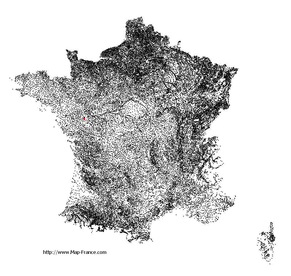
Here is the localization of Chanteloup-les-Bois on the France map of departments in Lambert 93 coordinates. The city of Chanteloup-les-Bois is shown on the map by a red point.
The town of Chanteloup-les-Bois is located in the department of Maine-et-Loire of the french region Pays de la Loire.
The latitude of Chanteloup-les-Bois is 47.094 degrees North.
The longitude of Chanteloup-les-Bois is 0.684 degrees West.
Here the distance between Chanteloup-les-Bois and the biggest cities of France:
Distances are calculated as the crow flies (orthodromic distance)
Distance between Chanteloup-les-Bois and Paris : 298.76 kilometers
Distance between Chanteloup-les-Bois and Marseille : 635.9 kilometers
Distance between Chanteloup-les-Bois and Lyon : 447.76 kilometers
Distance between Chanteloup-les-Bois and Toulouse : 422.46 kilometers
Distance between Chanteloup-les-Bois and Nice : 724.72 kilometers
Distance between Chanteloup-les-Bois and Nantes : 67.19 kilometers
Distance between Chanteloup-les-Bois and Strasbourg : 650.41 kilometers
Distance between Chanteloup-les-Bois and Montpellier : 525.77 kilometers
Distance between Chanteloup-les-Bois and Bordeaux : 250.28 kilometers
Distance between Chanteloup-les-Bois and Lille : 477.78 kilometers
Distance between Chanteloup-les-Bois and Rennes : 135.09 kilometers
Distance between Chanteloup-les-Bois and Reims : 423.93 kilometers
Clic here to see the map of Chanteloup-les-Bois in full screen:
Chanteloup-les-Bois on the map of french departments
|
This administrative map of Chanteloup-les-Bois is reusable and modifiable by making a link to this page of the Map-France.com website or by using the given code :
|
Administrative base maps of Chanteloup-les-Bois
|

See the administrative base map of Chanteloup-les-Bois in full screen (1000 x 949)
|
Small administrative base map of Chanteloup-les-Bois
|
This base map administrative of Chanteloup-les-Bois is reusable and modifiable by making a link to this page of the Map-France.com website or by using the given code :
|
 French Version : http://www.cartesfrance.fr