|
The village of Chantrigné is a small village located north west of France. The town of Chantrigné is located in the department of Mayenne of the french region Pays de la Loire. The town of Chantrigné is located in the township of Ambrières-les-Vallées part of the district of Mayenne. The area code for Chantrigné is 53055 (also known as code INSEE), and the Chantrigné zip code is 53300.
Geography and map of Chantrigné :
The altitude of the city hall of Chantrigné is approximately 134 meters. The Chantrigné surface is 18.62 km ². The latitude and longitude of Chantrigné are 48.414 degrees North and 0.569 degrees West.
Nearby cities and towns of Chantrigné are :
Saint-Loup-du-Gast (53300) at 3.58 km, Ambrières-les-Vallées (53300) at 4.76 km, Montreuil-Poulay (53640) at 4.91 km, La Haie-Traversaine (53300) at 5.80 km, Lassay-les-Châteaux (53110) at 5.97 km, Champéon (53640) at 6.47 km, Le Housseau-Brétignolles (53110) at 6.93 km, Saint-Fraimbault-de-Prières (53300) at 7.26 km.
(The distances to these nearby towns of Chantrigné are calculated as the crow flies)
Population and housing of Chantrigné :
The population of Chantrigné was 587 in 1999, 609 in 2006 and 613 in 2007. The population density of Chantrigné is 32.92 inhabitants per km². The number of housing of Chantrigné was 338 in 2007. These homes of Chantrigné consist of 248 main residences, 59 second or occasional homes and 31 vacant homes. |
|
|
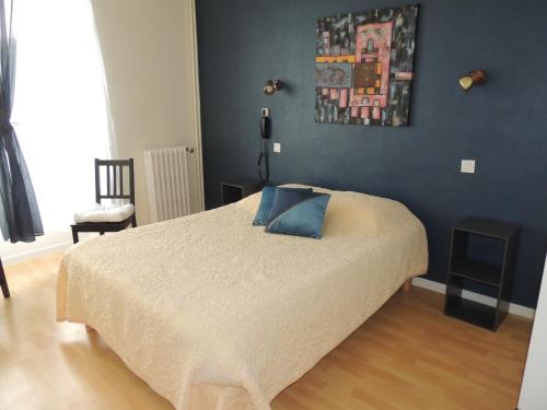
Hotel Chantrigné
|
|
|
Book now ! Best Price Guaranteed, no booking fees, pay at the hotel with our partner Booking.com, leader in online hotel reservation.
Find all hotels of Chantrigné : Hotel Chantrigné
| |
|
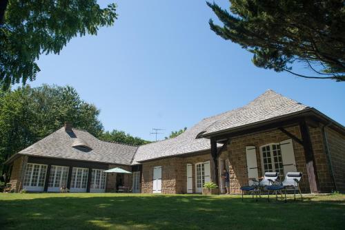
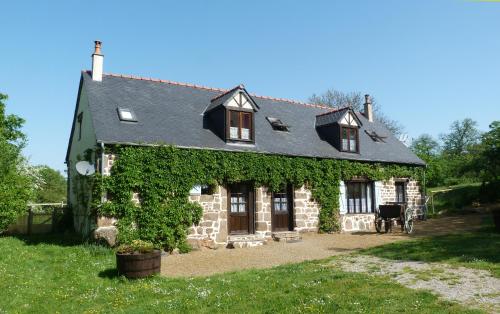
Guest accommodation : Chambres d'hotes la Belle Taille

Situated in Niort-la-Fontaine, Chambres d'hotes la Belle Taille features 3 accommodation with private terraces. This 3-star guest house offers a garden. The restaurant serves Fr...
Rate : from 55.00 €
Address : Belle Taille 53110 Niort-la-Fontaine
Distance Guest accommodation - Chantrigné : 2.17 km
|
|
|
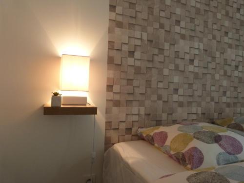
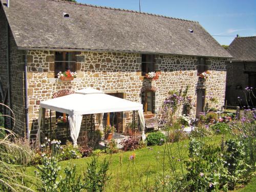
Bed and Breakfast : La Corbeliere
Built in the 13th century, English owned La Corbeliere is in a rural setting 1 km from the charming village of Cigne and 4 km from Ambrieres Les Vallees, where you will find res...
Price : from 80.00 €
to 90.00 €
Contact : La Corbeliere 53300 Ambrieres Les Vallees
Distance Bed and Breakfast - Chantrigné : 3.70 km
|
|
|
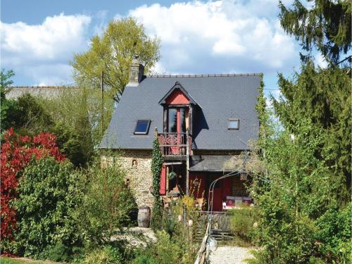
Hotel : Le Gue de Genes
Located 11 km from Mayenne, Le Gue de Genes is located in Ambrieres Les Vallees and fofers free Wi-Fi access, a private garden and free private parking. Meals can be enjoyed at ...
Prices : from 50.40 €
to 56.00 €
Contact : 27 Rue Notre Dame 53300 Ambrieres Les Vallees
Distance Hotel - Chantrigné : 4.27 km
|
|
|
Guest accommodation : La Rebourgere
Set in Melleray-la-Vallée in the Pays de la Loire region, La Rebourgere features a terrace and pool views. It features free WiFi and free bikes. This 2-bedroom holiday home com...
Contact : La Bourgère Melleray 53110 Melleray-la-Vallée
Distance Guest accommodation - Chantrigné : 5.36 km
|
|
|
Bed and Breakfast : Les écureuils
Situated in Lassay, Les écureuils offers accommodation with a terrace and free WiFi. A continental breakfast is served every morning at the property. Guests can also relax in ...
Price : from 50.00 €
to 65.00 €
Address : 37 Rue d'Ambrières 53110 Lassay
Distance Bed and Breakfast - Chantrigné : 5.43 km
|
|
|
Guest accommodation : Les meublés de Cathy
Les meublés de Cathy is situated in Lassay, 14 km from Bagnoles de l'Orne. Laval is 46 km from the property. The accommodation is fitted with a seating and dining area. There i...
Prices : from 57.00 €
to 82.00 €
Contact : 7 bis rue du château 53110 Lassay
Distance Guest accommodation - Chantrigné : 5.86 km
|
|
|
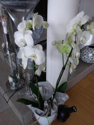
Guest accommodation : L'Orchidée
L'Orchidée is set in the centre of Lassay and offers a bar. The holiday home is in an area where guests can engage in activities such as fishing and hiking. The holiday home is...
Rate : from 44.00 €
to 80.00 €
Contact : 25 Grande Rue 53110 Lassay
Distance Guest accommodation - Chantrigné : 5.91 km
|
|
|
Guest accommodation : Le Tertre Gites
Le Tertre Gites offers 3 cottages in Céaucé. Bagnoles de l'Orne is 17 km from the property. Free WiFi is available throughout the property and free private parking is available ...
Contact : Le Tertre 61330 Céaucé
Distance Guest accommodation - Chantrigné : 6.41 km
|
|
|
Bed and Breakfast : La Cloue
Located in the countryside of Lassay-Les-Chateaux in the Normandy-Maine National Park, La Cloue is a renovated farmhouse set in a 15-acre garden. You can admire the views of the...
Prices : from 60.00 €
to 75.00 €
Address : La Cloué 53110 Sainte-Marie-du-Bois
Distance Bed and Breakfast - Chantrigné : 8.25 km
|
|
|
Guest accommodation : One-Bedroom Holiday Home in St Marie du Bois
One-Bedroom Holiday Home in St Marie du Bois is located in Sainte-Marie-du-Bois. Guests staying at this holiday home have access to a fully equipped kitchen. The holiday home c...
Contact : 53110 Sainte-Marie-du-Bois
Distance Guest accommodation - Chantrigné : 9.20 km
|
|
Find another hotel near Chantrigné : Chantrigné hotels list
|
Map of Chantrigné
|
|
Map of Chantrigné :
At right you can find the localization of Chantrigné on the map of France. Below, this is the satellite map of Chantrigné. A road map, and maps templates of Chantrigné are available here : "road map of Chantrigné". This map show Chantrigné seen by the satellite of Google Map. To see the streets of Chantrigné or move on another zone, use the buttons "zoom" and "map" on top of this dynamic map.
Search on the map of Chantrigné :
To search hotels, housings, tourist information office, administrations or other services, use the Google search integrated to the map on the following page : "map Chantrigné".
Hotels of Chantrigné are listed on the map with the following icons: 
The map of Chantrigné is centred in the following coordinates :
|

|
|
|
|
Print the map of Chantrigné

Print the map of Chantrigné : map of Chantrigné
|
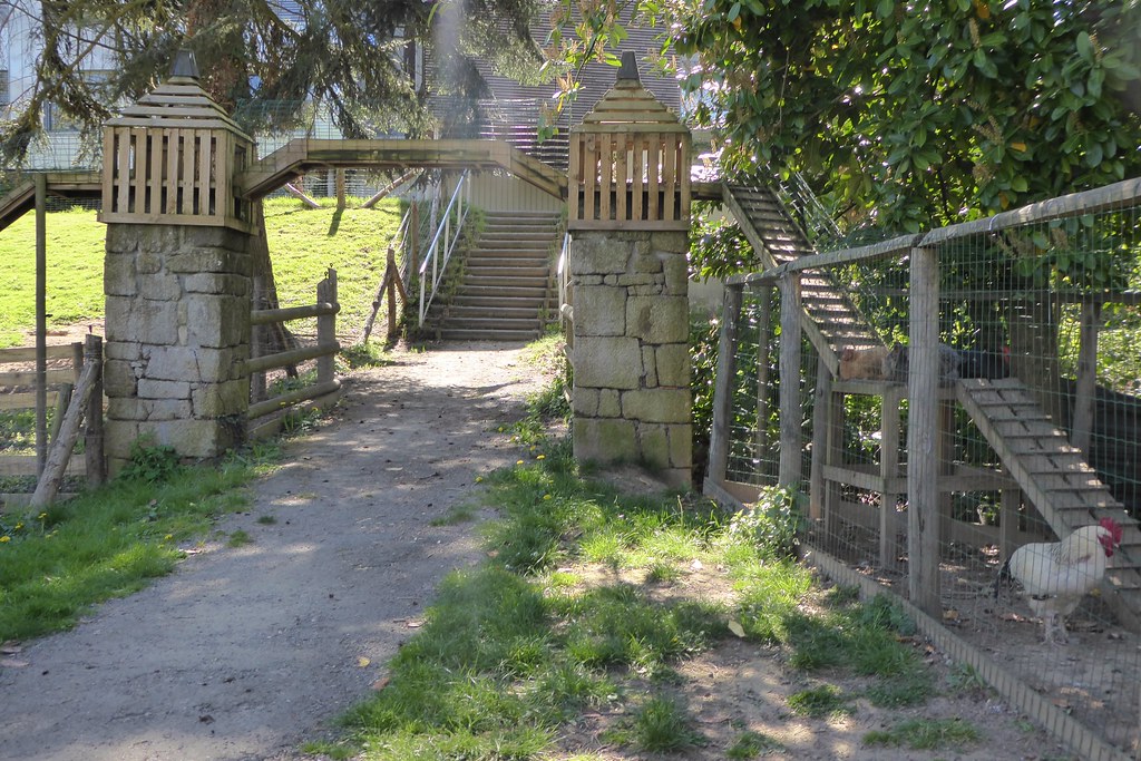
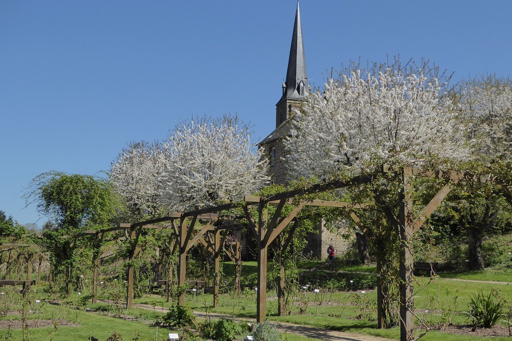
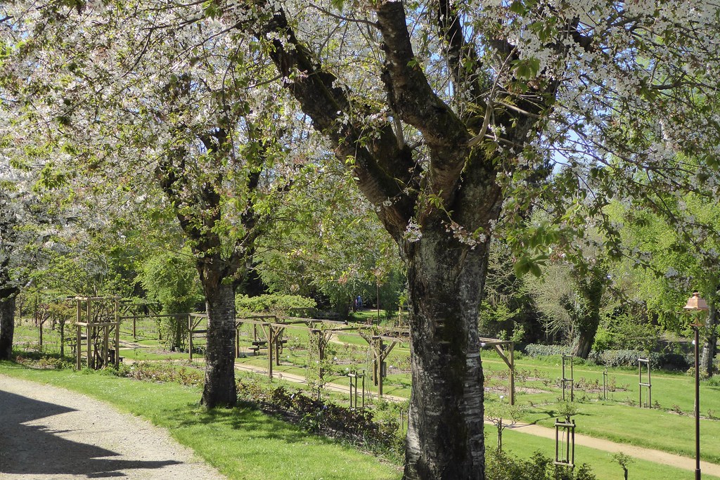
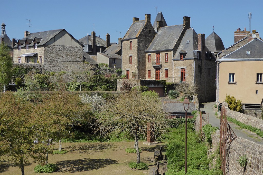
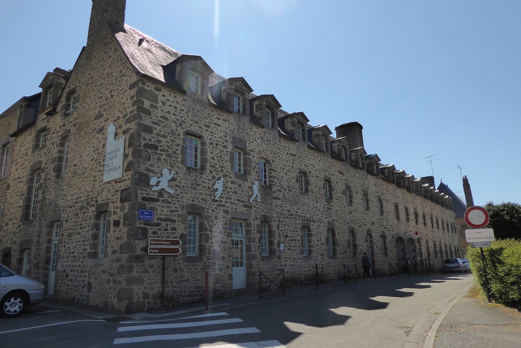
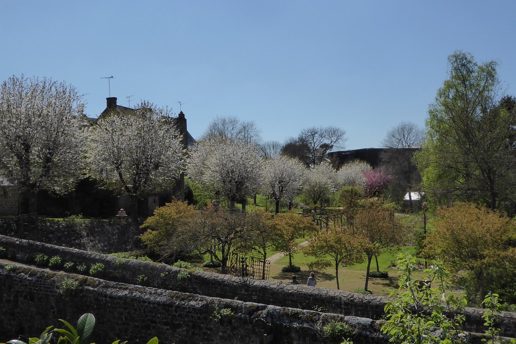
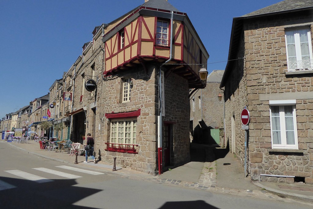
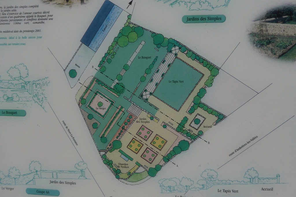
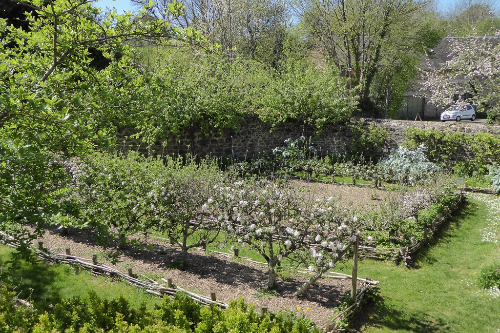
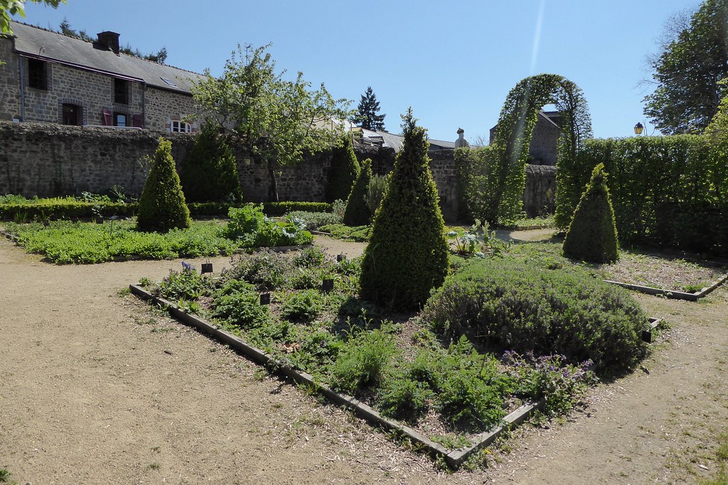
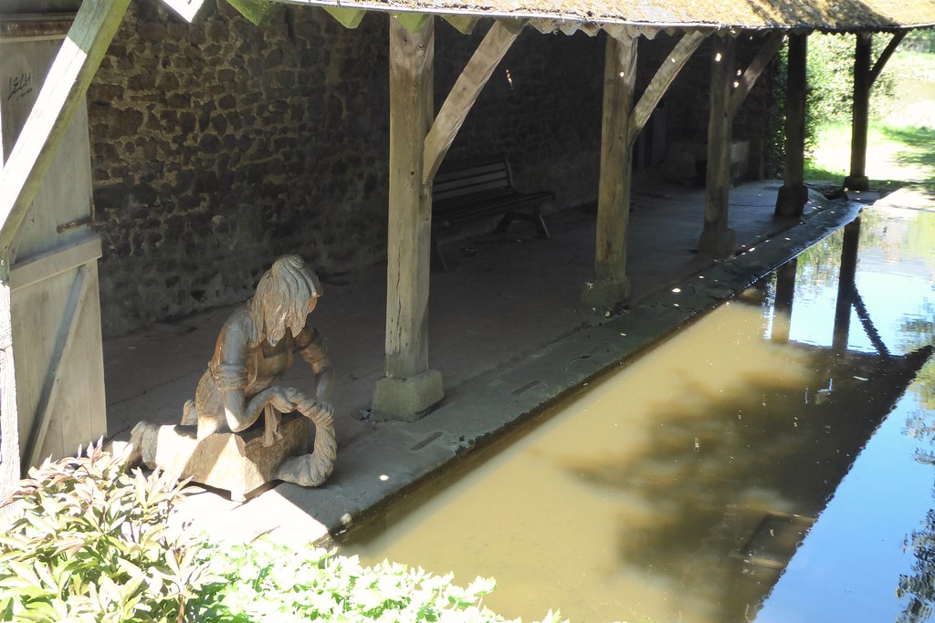
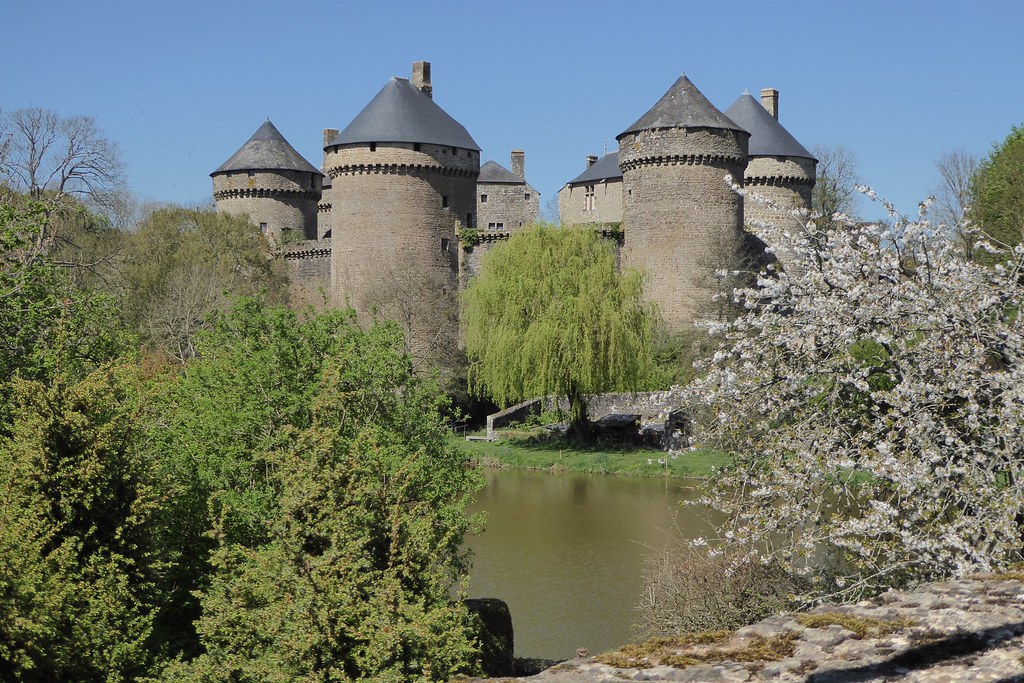
Photos Chantrigné
|
See all photos of Chantrigné :
Other photos of Chantrigné and nearby towns can be found here: photos Chantrigné
|
|
Chantrigné weather forecast
Find next hours and 7 days weather forecast for Chantrigné here : weather Chantrigné (with english metrics)
This is the last weather forecast for Chantrigné collected by the nearest observation station of Ambrières-les-Vallées.
Week Forecast:
The latest weather data for Chantrigné were collected Friday, 31 July 2026 at 08:04 from the nearest observation station of Ambrières-les-Vallées.
| Friday, July 31st |
25°C 15°C
100%
69%
|
Drizzle
Temperature Max: 25°C Temperature Min: 15°C
Precipitation Probability: 100%
Percentage of sky occluded by clouds: 69%
Wind speed: 12 km/h South-East
Humidity: 60%° UV Index: 5
Sunrise: 06:36 Sunset: 21:41 |
|
| | Saturday, August 1st |
26°C 11°C
0%
56%
|
Partly cloudy
Temperature Max: 26°C Temperature Min: 11°C
Precipitation Probability: 0%
Percentage of sky occluded by clouds: 56%
Wind speed: 11 km/h South
Humidity: 51%° UV Index: 5
Sunrise: 06:37 Sunset: 21:39 |
|
| | Sunday, August 2nd |
29°C 13°C
0%
54%
|
Partly cloudy
Temperature Max: 29°C Temperature Min: 13°C
Precipitation Probability: 0%
Percentage of sky occluded by clouds: 54%
Wind speed: 10 km/h West
Humidity: 44%° UV Index: 6
Sunrise: 06:38 Sunset: 21:38 |
|
| | Monday, August 3rd |
32°C 18°C
0%
71%
|
Mostly cloudy
Temperature Max: 32°C Temperature Min: 18°C
Precipitation Probability: 0%
Percentage of sky occluded by clouds: 71%
Wind speed: 13 km/h North
Humidity: 45%° UV Index: 5
Sunrise: 06:40 Sunset: 21:36 |
|
|
Attribution: 
|
|
Other maps, hotels and towns in france
Find another town, zip code, department, region, ...
Quick links Chantrigné :
Make a link to this page of Chantrigné with the following code :
|
|
|
 French Version : http://www.cartesfrance.fr/carte-france-ville/53055_Chantrigne.html