Map of France

Chapelle-des-Bois photos


Find a town, a zip code,
a department, a region... in France
I like Map-France.com !


Chapelle-des-Bois pictures


Here are the photos of the town of Chapelle-des-Bois and nearby towns. Chapelle-des-Bois is located in the department of Doubs in the region of Franche-Comté. You will find the satellite map of Chapelle-des-Bois under these photos.

To see photos of nearby towns of Chapelle-des-Bois, you can try the following links :
   - Pictures of Bellefontaine (39400) : town located at 5.69 km
   - Pictures of Bois-d'Amont (39220) : town located at 7.34 km
   - Pictures of Foncine-le-Haut (39460) : town located at 7.42 km
   - Pictures of Foncine-le-Bas (39520) : town located at 7.81 km
   - Pictures of Châtelblanc (25240) : town located at 8.27 km
   - Pictures of Chaux-Neuve (25240) : town located at 9.18 km
   - Pictures of Lac-des-Rouges-Truites (39150) : town located at 9.77 km
   - Pictures of Fort-du-Plasne (39150) : town located at 9.93 km
   - Pictures of Morbier (39400) : town located at 10.20 km
   - Pictures of Les Planches-en-Montagne (39150) : town located at 10.27 km
   - Pictures of Petite-Chaux (25240) : town located at 11.13 km
   - Pictures of Les Chalesmes (39150) : town located at 11.42 km

 - photos of the department prefecture of Doubs : photos of Besançon
 - pictures of others cities of Doubs : Doubs


To see Chapelle-des-Bois from the sky, here is the satellite map of the town of Chapelle-des-Bois : Chapelle-des-Bois map.

I like Chapelle-des-Bois !


Photos of the town of Chapelle-des-Bois

These photos taken near the town of Chapelle-des-Bois can be shown in full screen clicking on the thumbnails. Photos are copyrighted by their owners.

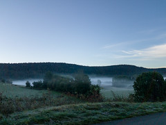
20220421-110253 - Photo of Chapelle-des-Bois
20220421-110253

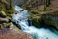
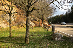
Gorges de la Saine - Jura - France - Photo of Chapelle-des-Bois
Gorges de la Saine - Jura - France

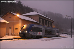
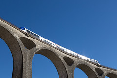
Alstom X 73500 – SNCF (Société Nationale des Chemins de fer Français) / MobiGo (Bourgogne-Franche-Comté) n°73745 - Photo of Chapelle-des-Bois
Alstom X 73500 – SNCF (Société Nationale des Chemins de fer Français) / MobiGo (Bourgogne-Franche-Comté) n°73745

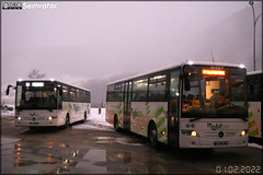
Mercedes-Benz Intouro – MobiGo (Bourgogne-Franche-Comté) - Photo of Chapelle-des-Bois
Mercedes-Benz Intouro – MobiGo (Bourgogne-Franche-Comté)

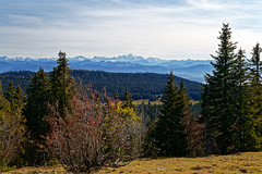
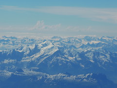
En direction du Mont Blanc - Photo of Chapelle-des-Bois
En direction du Mont Blanc

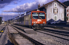
11.11.98 Le Brassus PBr  RBDe4/4 568384 - Photo of Chapelle-des-Bois
11.11.98 Le Brassus PBr RBDe4/4 568384

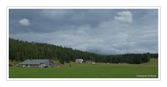
La Perruque et le pré Poncet (Doubs) - Photo of Chapelle-des-Bois
La Perruque et le pré Poncet (Doubs)

170331_003 - Photo of Chapelle-des-Bois
170331_003

46.6133;6.0061;180 - Photo of Chapelle-des-Bois
46.6133;6.0061;180

Lac de Joux - 5 mei 2016 - Photo of Chapelle-des-Bois
Lac de Joux - 5 mei 2016

Lac de Joux - 5 mei 2016 - Photo of Chapelle-des-Bois
Lac de Joux - 5 mei 2016

Lac de Joux - 5 mei 2016 - Photo of Chapelle-des-Bois
Lac de Joux - 5 mei 2016

Lac de Joux - 5 mei 2016 - Photo of Chapelle-des-Bois
Lac de Joux - 5 mei 2016

Le rouge - Photo of Chapelle-des-Bois
Le rouge


Chapelle-des-Bois from the sky


Old photos of the town of Chapelle-des-Bois

These photos taken near the town of Chapelle-des-Bois can be shown in full screen clicking on the thumbnails. Photos are copyrighted by their owners.


Other maps, hotels and towns in france


Find another town, zip code, department, region, ...


Quick links Chapelle-des-Bois :


Back to the menus Map of France :


Make a link to this page of Chapelle-des-Bois with the following code :


Map of France | Regions | Departments | Cities | Partners | Terms | Contact