Map of France

Charny-le-Bachot photos


Find a town, a zip code,
a department, a region... in France
I like Map-France.com !


Charny-le-Bachot pictures


Here are the photos of the town of Charny-le-Bachot and nearby towns. Charny-le-Bachot is located in the department of Aube in the region of Champagne-Ardenne. You will find the satellite map of Charny-le-Bachot under these photos.

To see photos of nearby towns of Charny-le-Bachot, you can try the following links :
   - Pictures of Longueville-sur-Aube (10170) : town located at 2.30 km
   - Pictures of Plancy-l'Abbaye (10380) : town located at 2.46 km
   - Pictures of Boulages (10380) : town located at 3.68 km
   - Pictures of Rhèges (10170) : town located at 3.75 km
   - Pictures of Étrelles-sur-Aube (10170) : town located at 5.28 km
   - Pictures of Vouarces (51260) : town located at 5.53 km
   - Pictures of Bessy (10170) : town located at 5.74 km
   - Pictures of Méry-sur-Seine (10170) : town located at 6.28 km
   - Pictures of Droupt-Sainte-Marie (10170) : town located at 6.66 km
   - Pictures of Saint-Oulph (10170) : town located at 6.69 km
   - Pictures of Viâpres-le-Petit (10380) : town located at 7.19 km
   - Pictures of Saint-Saturnin (51260) : town located at 7.44 km

 - photos of the department prefecture of Aube : photos of Troyes
 - pictures of others cities of Aube : Aube


To see Charny-le-Bachot from the sky, here is the satellite map of the town of Charny-le-Bachot : Charny-le-Bachot map.

I like Charny-le-Bachot !


Photos of the town of Charny-le-Bachot

These photos taken near the town of Charny-le-Bachot can be shown in full screen clicking on the thumbnails. Photos are copyrighted by their owners.

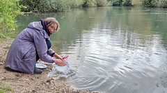
Marielle wast af in de Seine - Photo of Charny-le-Bachot
Marielle wast af in de Seine

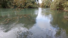
Seine - Photo of Charny-le-Bachot
Seine

Pompoen en spiegeling in bokaal - Photo of Charny-le-Bachot
Pompoen en spiegeling in bokaal

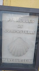
Bord: St. Jacques de Compostelle - Photo of Charny-le-Bachot
Bord: St. Jacques de Compostelle

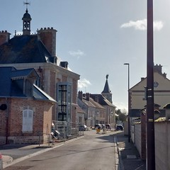
Straatbeeld Mery sur Seine - Photo of Charny-le-Bachot
Straatbeeld Mery sur Seine

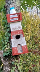
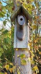
Vogelhuis: vuurtoren - Photo of Charny-le-Bachot
Vogelhuis: vuurtoren

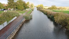
Kanaal vd Haut Seine - Photo of Charny-le-Bachot
Kanaal vd Haut Seine

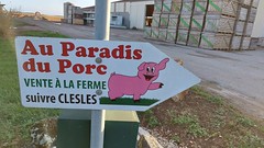
Au Paradis du Porc - Photo of Charny-le-Bachot
Au Paradis du Porc

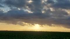
Wolkenlucht boven windmolens - Photo of Charny-le-Bachot
Wolkenlucht boven windmolens

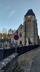
Kerk van Bagneux - Photo of Charny-le-Bachot
Kerk van Bagneux

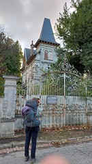
Kasteel/chateau te koop - Photo of Charny-le-Bachot
Kasteel/chateau te koop

Kanaal naar l-Aube - Photo of Charny-le-Bachot
Kanaal naar l-Aube

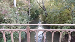
Rivier l-aube - Photo of Charny-le-Bachot
Rivier l-aube

Silo achter hek - Photo of Charny-le-Bachot
Silo achter hek

Uitgang en platform/ balkon op hoogte - Photo of Charny-le-Bachot
Uitgang en platform/ balkon op hoogte

Fabriek achter hek - Photo of Charny-le-Bachot
Fabriek achter hek

CC 72140 - 1545 Paris-Est > Belfort - Photo of Charny-le-Bachot
CC 72140 - 1545 Paris-Est > Belfort


Charny-le-Bachot from the sky


Old photos of the town of Charny-le-Bachot

These photos taken near the town of Charny-le-Bachot can be shown in full screen clicking on the thumbnails. Photos are copyrighted by their owners.


Other maps, hotels and towns in france


Find another town, zip code, department, region, ...


Quick links Charny-le-Bachot :


Back to the menus Map of France :


Make a link to this page of Charny-le-Bachot with the following code :


Map of France | Regions | Departments | Cities | Partners | Terms | Contact