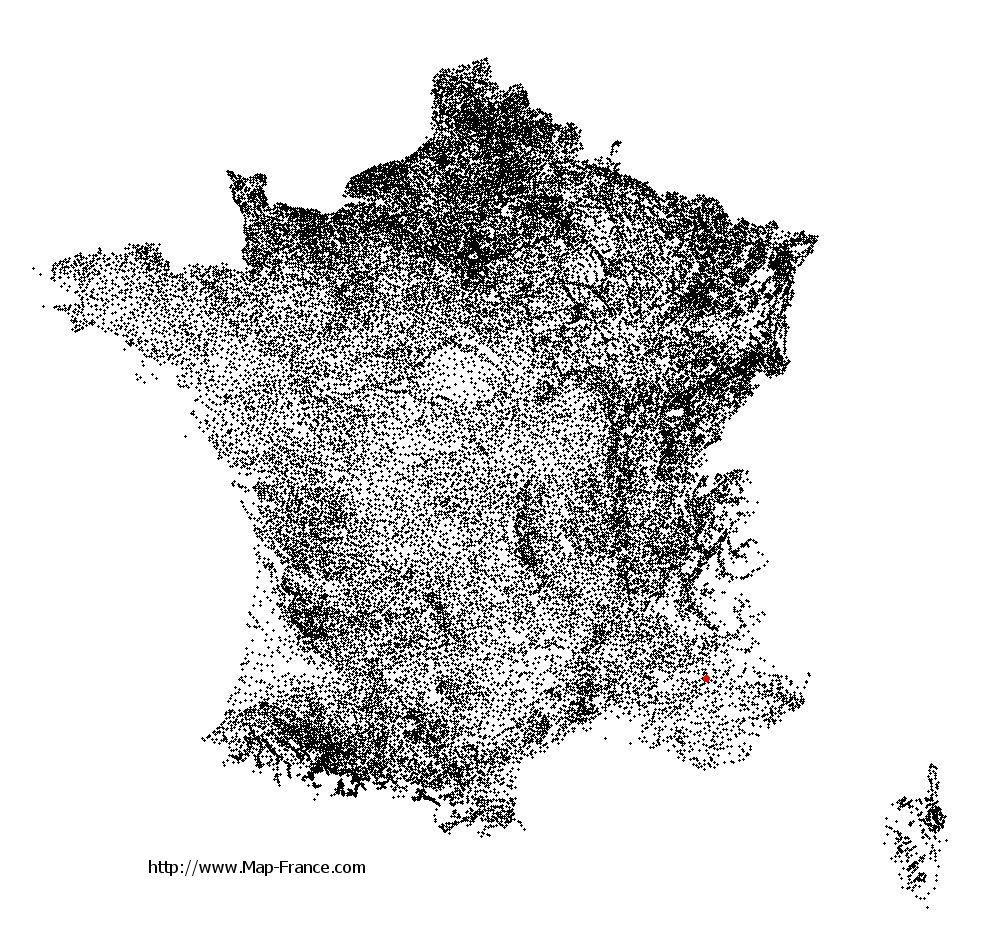
Château-Arnoux-Saint-Auban on the relief France map in Lambert 93 coordinates
|

See the map of Château-Arnoux-Saint-Auban in full screen (1000 x 949)
|
At left, here is the location of Château-Arnoux-Saint-Auban on the relief France map in Lambert 93 coordinates.
Here are the altitudes of Château-Arnoux-Saint-Auban :
- Town hall altitude of Château-Arnoux-Saint-Auban is 450 meters
- Minimum altitude of Château-Arnoux-Saint-Auban is 403 meters
- Maximum altitude of Château-Arnoux-Saint-Auban is 742 meters
- Medium altitude of Château-Arnoux-Saint-Auban is 573 meters
Here are the altitudes of Digne-les-Bains, prefecture of Alpes-de-Haute-Provence department:
- Town hall altitude of Digne-les-Bains is 600 meters
- Minimum altitude of Digne-les-Bains is 524 meters
- Maximum altitude of Digne-les-Bains is 1 731 meters
- Medium altitude of Digne-les-Bains is 1 128 meters
Here are the altitudes of the french biggest cities:
Paris : 33 meters
Marseille : 20 meters
Lyon : 237 meters
Toulouse : 146 meters
Nice : 10 meters
Nantes : 20 meters
Strasbourg : 144 meters
Montpellier : 35 meters
Bordeaux : 16 meters
Lille : 20 meters
Rennes : 35 meters
Reims : 83 meters
Click here for the terrain map of Château-Arnoux-Saint-Auban in full screen:
Relief map of Château-Arnoux-Saint-Auban
|
This relief map of Château-Arnoux-Saint-Auban is reusable and modifiable by making a link to this page of the Map-France.com website or by using the given code :
|
Terrain base map of Château-Arnoux-Saint-Auban
|

See the terrain base map of Château-Arnoux-Saint-Auban in full screen (1000 x 949)
|
Small relief base map of Château-Arnoux-Saint-Auban

|
This base map of Château-Arnoux-Saint-Auban is reusable and modifiable by making a link to this page of the Map-France.com website or by using the given code :
|
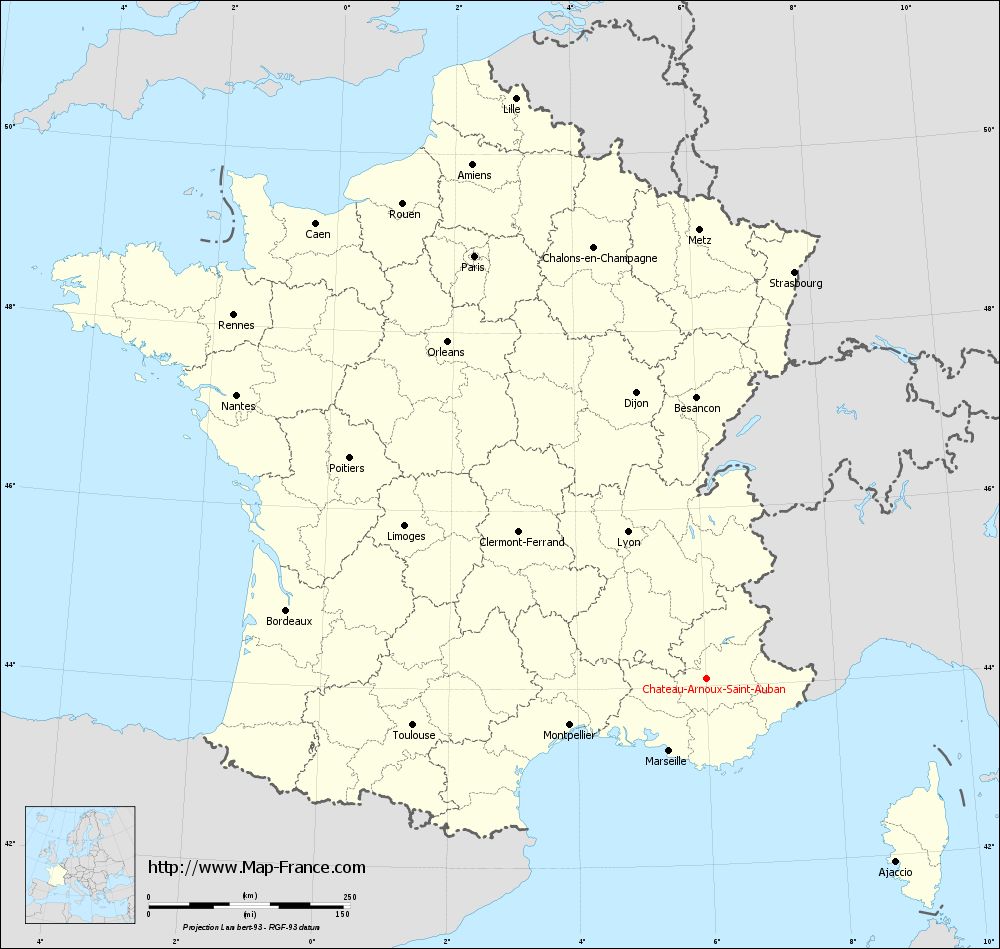
Map of Château-Arnoux-Saint-Auban with regions and prefectures
|
View the map of Château-Arnoux-Saint-Auban in full screen (1000 x 949)
|
You will find the location of Château-Arnoux-Saint-Auban on the map of France of regions in Lambert 93 coordinates. The city of Château-Arnoux-Saint-Auban is located in the department of Alpes-de-Haute-Provence of the french region Provence-Alpes-Côte d'Azur.
Geographical sexagesimal coordinates / GPS (WGS84):
Latitude: 44° 05' 36'' North
Longitude: 06° 00' 30'' East
Geographical decimal coordinates :
Latitude: 44.095 degrees (44.095° North)
Longitude: 6.008 degrees (6.008° East)
Lambert 93 coordinates :
X: 9 408 hectometers
Y: 63 373 hectometers
Lambert 2 coordinates :
X: 8 942 hectometers
Y: 19 060 hectometers
Below, the geographical coordinates of Digne-les-Bains, prefecture of the Alpes-de-Haute-Provence department:
Geographical sexagesimal coordinates / GPS (WGS84):
Latitude: 44° 05' 33'' North
Longitude: 06° 14' 08'' East
Geographical decimal coordinates :
Latitude: 44.095 degrees (44.095° North)
Longitude: 6.235 degrees (6.235° East)
Lambert 93 coordinates :
X: 9 590 hectometers
Y: 63 379 hectometers
Lambert 2 coordinates :
X: 9 124 hectometers
Y: 19 068 hectometers
|
This map of Château-Arnoux-Saint-Auban is reusable and modifiable by making a link to this page of the Map-France.com website or by using the given code :
|
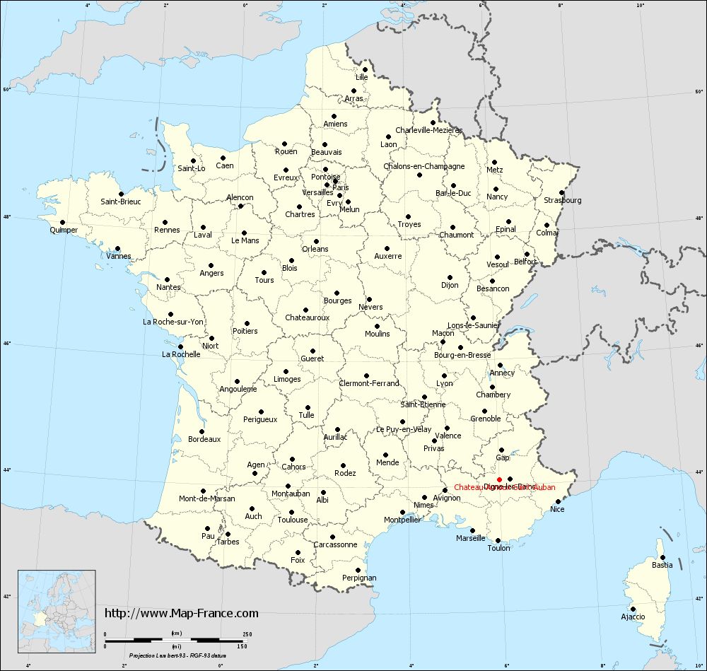
Map of Château-Arnoux-Saint-Auban with departments and prefectures
|
Voir la carte of Château-Arnoux-Saint-Auban en grand format (1000 x 949)
|
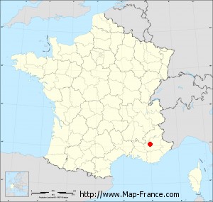
Here is the localization of Château-Arnoux-Saint-Auban on the France map of departments in Lambert 93 coordinates. The city of Château-Arnoux-Saint-Auban is shown on the map by a red point.
The city of Château-Arnoux-Saint-Auban is located in the department of Alpes-de-Haute-Provence of the french region Provence-Alpes-Côte d'Azur.
The latitude of Château-Arnoux-Saint-Auban is 44.095 degrees North.
The longitude of Château-Arnoux-Saint-Auban is 6.008 degrees East.
Here the distance between Château-Arnoux-Saint-Auban and the biggest cities of France:
Distances are calculated as the crow flies (orthodromic distance)
Distance between Château-Arnoux-Saint-Auban and Paris : 598.94 kilometers
Distance between Château-Arnoux-Saint-Auban and Marseille : 101.18 kilometers
Distance between Château-Arnoux-Saint-Auban and Lyon : 206.74 kilometers
Distance between Château-Arnoux-Saint-Auban and Toulouse : 369.29 kilometers
Distance between Château-Arnoux-Saint-Auban and Nice : 109.27 kilometers
Distance between Château-Arnoux-Saint-Auban and Nantes : 681.75 kilometers
Distance between Château-Arnoux-Saint-Auban and Strasbourg : 516.49 kilometers
Distance between Château-Arnoux-Saint-Auban and Montpellier : 179.3 kilometers
Distance between Château-Arnoux-Saint-Auban and Bordeaux : 528.41 kilometers
Distance between Château-Arnoux-Saint-Auban and Lille : 759.23 kilometers
Distance between Château-Arnoux-Saint-Auban and Rennes : 740.8 kilometers
Distance between Château-Arnoux-Saint-Auban and Reims : 593.09 kilometers
Clic here to see the map of Château-Arnoux-Saint-Auban in full screen:
Château-Arnoux-Saint-Auban on the map of french departments
|
This administrative map of Château-Arnoux-Saint-Auban is reusable and modifiable by making a link to this page of the Map-France.com website or by using the given code :
|
Administrative base maps of Château-Arnoux-Saint-Auban
|
See the administrative base map of Château-Arnoux-Saint-Auban in full screen (1000 x 949)
|
Small administrative base map of Château-Arnoux-Saint-Auban
|
This base map administrative of Château-Arnoux-Saint-Auban is reusable and modifiable by making a link to this page of the Map-France.com website or by using the given code :
|
 French Version : http://www.cartesfrance.fr