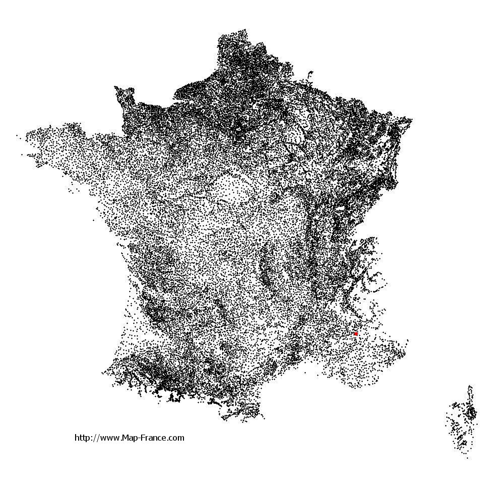
Châteaufort on the relief France map in Lambert 93 coordinates
|

See the map of Châteaufort in full screen (1000 x 949)
|
At left, here is the location of Châteaufort on the relief France map in Lambert 93 coordinates.
Here are the altitudes of Châteaufort :
- Town hall altitude of Châteaufort is 620 meters
- Minimum altitude of Châteaufort is 541 meters
- Maximum altitude of Châteaufort is 1 280 meters
- Medium altitude of Châteaufort is 911 meters
Here are the altitudes of Digne-les-Bains, prefecture of Alpes-de-Haute-Provence department:
- Town hall altitude of Digne-les-Bains is 600 meters
- Minimum altitude of Digne-les-Bains is 524 meters
- Maximum altitude of Digne-les-Bains is 1 731 meters
- Medium altitude of Digne-les-Bains is 1 128 meters
Here are the altitudes of the french biggest cities:
Paris : 33 meters
Marseille : 20 meters
Lyon : 237 meters
Toulouse : 146 meters
Nice : 10 meters
Nantes : 20 meters
Strasbourg : 144 meters
Montpellier : 35 meters
Bordeaux : 16 meters
Lille : 20 meters
Rennes : 35 meters
Reims : 83 meters
Click here for the terrain map of Châteaufort in full screen:
Relief map of Châteaufort
|
This relief map of Châteaufort is reusable and modifiable by making a link to this page of the Map-France.com website or by using the given code :
|
Terrain base map of Châteaufort
|

See the terrain base map of Châteaufort in full screen (1000 x 949)
|
Small relief base map of Châteaufort

|
This base map of Châteaufort is reusable and modifiable by making a link to this page of the Map-France.com website or by using the given code :
|
Map of Châteaufort with regions and prefectures
|
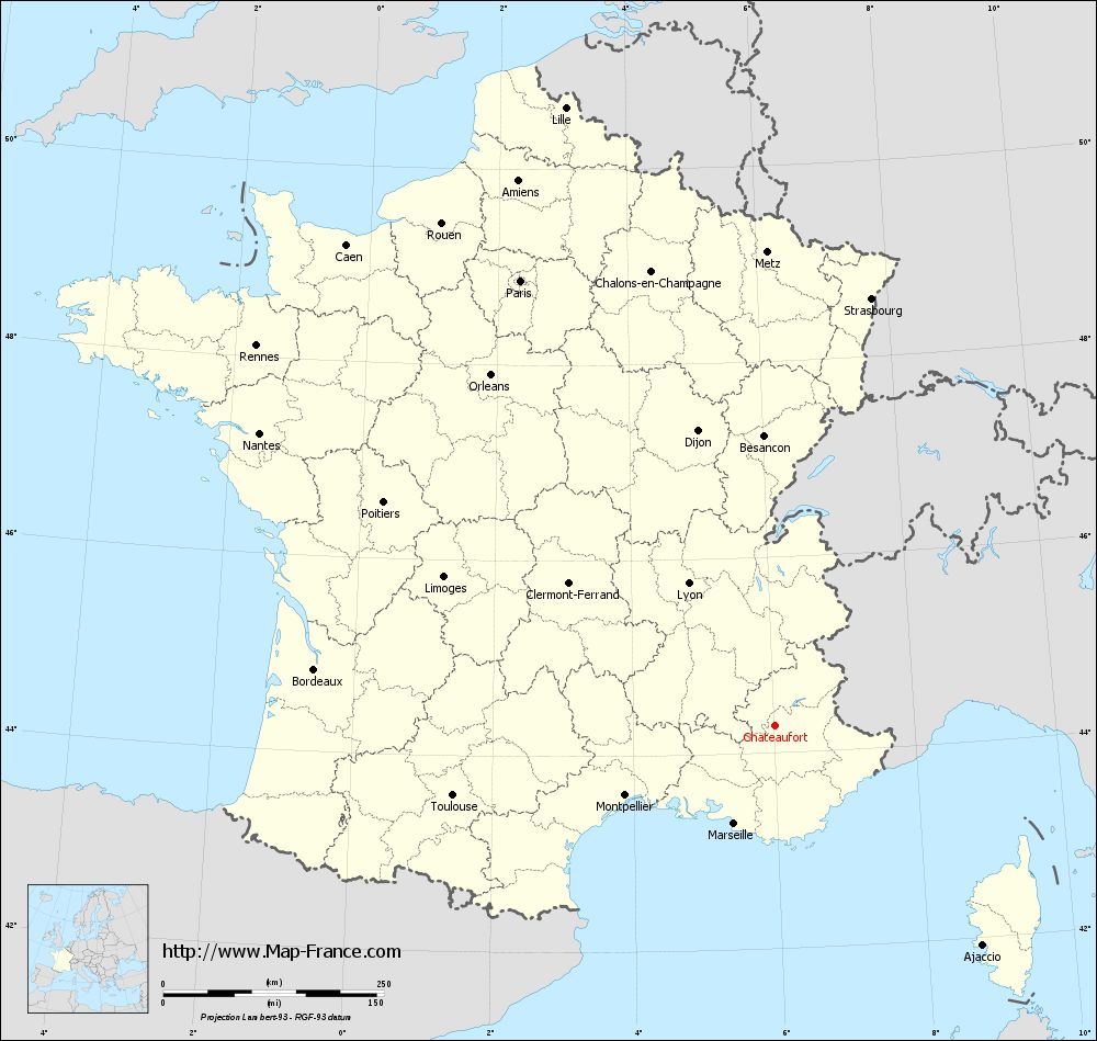
View the map of Châteaufort in full screen (1000 x 949)
|
You will find the location of Châteaufort on the map of France of regions in Lambert 93 coordinates. The town of Châteaufort is located in the department of Alpes-de-Haute-Provence of the french region Provence-Alpes-Côte d'Azur.
Geographical sexagesimal coordinates / GPS (WGS84):
Latitude: 44° 16' 27'' North
Longitude: 06° 00' 58'' East
Geographical decimal coordinates :
Latitude: 44.275 degrees (44.275° North)
Longitude: 6.018 degrees (6.018° East)
Lambert 93 coordinates :
X: 9 407 hectometers
Y: 63 574 hectometers
Lambert 2 coordinates :
X: 8 939 hectometers
Y: 19 261 hectometers
Below, the geographical coordinates of Digne-les-Bains, prefecture of the Alpes-de-Haute-Provence department:
Geographical sexagesimal coordinates / GPS (WGS84):
Latitude: 44° 05' 33'' North
Longitude: 06° 14' 08'' East
Geographical decimal coordinates :
Latitude: 44.095 degrees (44.095° North)
Longitude: 6.235 degrees (6.235° East)
Lambert 93 coordinates :
X: 9 590 hectometers
Y: 63 379 hectometers
Lambert 2 coordinates :
X: 9 124 hectometers
Y: 19 068 hectometers
|
This map of Châteaufort is reusable and modifiable by making a link to this page of the Map-France.com website or by using the given code :
|
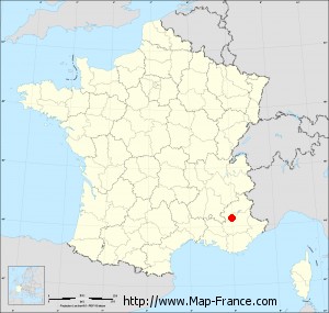
Map of Châteaufort with departments and prefectures
|
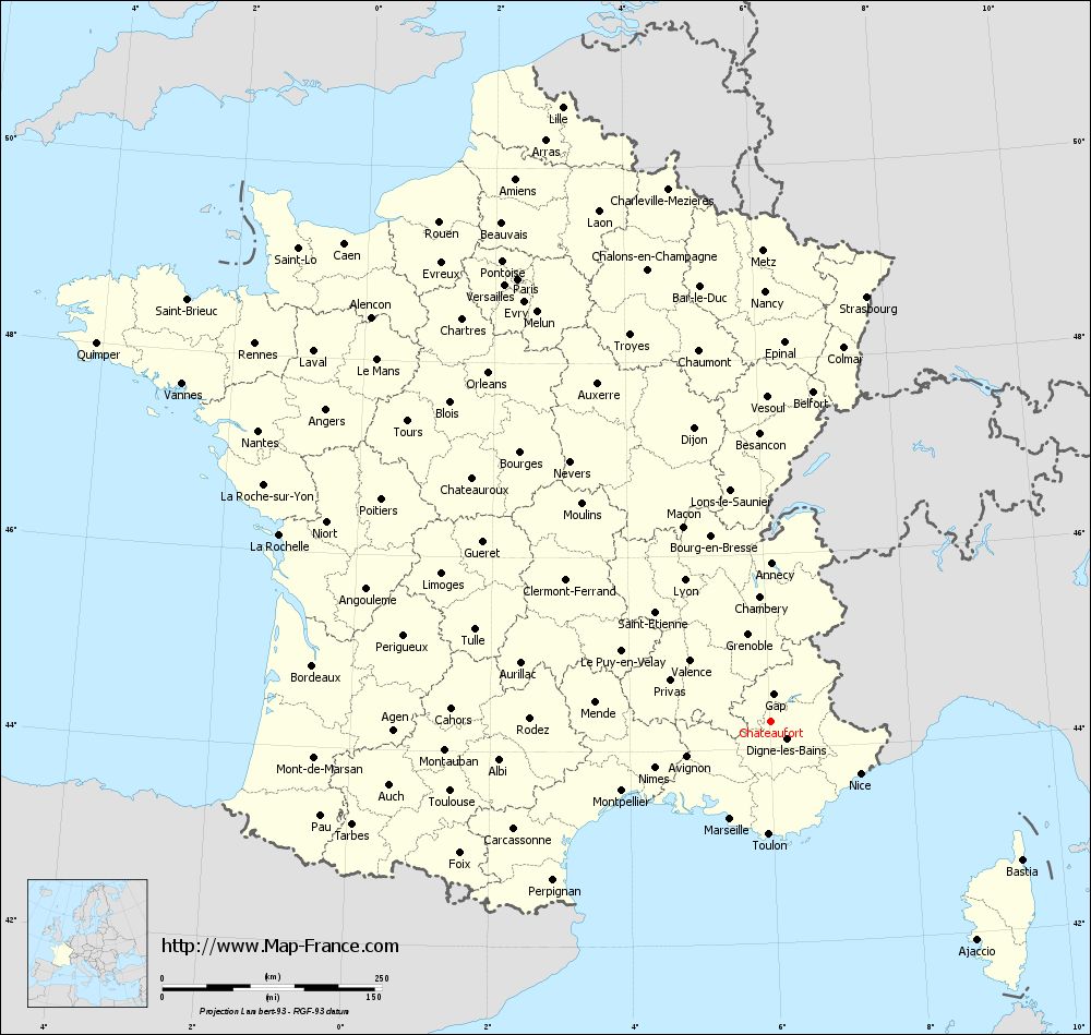
Voir la carte of Châteaufort en grand format (1000 x 949)
|
Here is the localization of Châteaufort on the France map of departments in Lambert 93 coordinates. The city of Châteaufort is shown on the map by a red point.
The town of Châteaufort is located in the department of Alpes-de-Haute-Provence of the french region Provence-Alpes-Côte d'Azur.
The latitude of Châteaufort is 44.275 degrees North.
The longitude of Châteaufort is 6.018 degrees East.
Here the distance between Châteaufort and the biggest cities of France:
Distances are calculated as the crow flies (orthodromic distance)
Distance between Châteaufort and Paris : 581.45 kilometers
Distance between Châteaufort and Marseille : 119.39 kilometers
Distance between Châteaufort and Lyon : 189.33 kilometers
Distance between Châteaufort and Toulouse : 373 kilometers
Distance between Châteaufort and Nice : 117.85 kilometers
Distance between Châteaufort and Nantes : 671.62 kilometers
Distance between Châteaufort and Strasbourg : 496.93 kilometers
Distance between Châteaufort and Montpellier : 186.77 kilometers
Distance between Châteaufort and Bordeaux : 525.58 kilometers
Distance between Châteaufort and Lille : 740.21 kilometers
Distance between Châteaufort and Rennes : 728.75 kilometers
Distance between Châteaufort and Reims : 573.86 kilometers
Clic here to see the map of Châteaufort in full screen:
Châteaufort on the map of french departments
|
This administrative map of Châteaufort is reusable and modifiable by making a link to this page of the Map-France.com website or by using the given code :
|
Administrative base maps of Châteaufort
|
See the administrative base map of Châteaufort in full screen (1000 x 949)
|
Small administrative base map of Châteaufort
|
This base map administrative of Châteaufort is reusable and modifiable by making a link to this page of the Map-France.com website or by using the given code :
|
 French Version : http://www.cartesfrance.fr