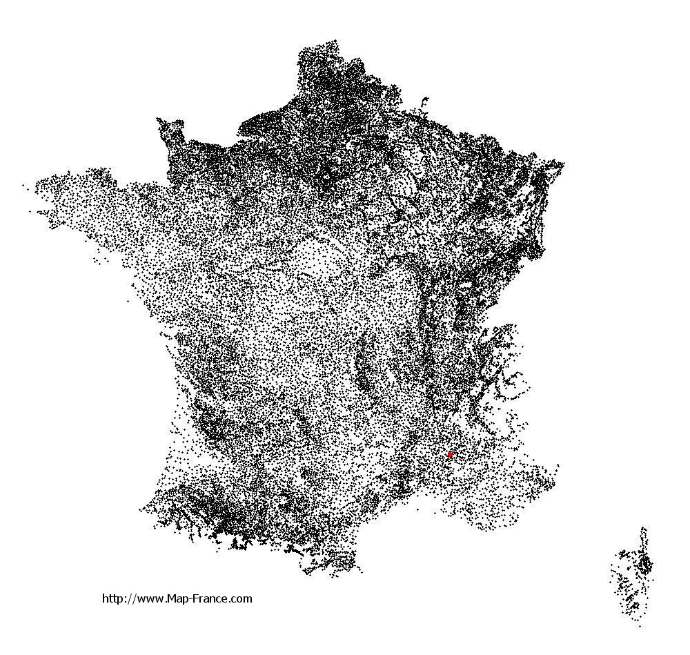
Châteauneuf-de-Bordette on the relief France map in Lambert 93 coordinates
|

See the map of Châteauneuf-de-Bordette in full screen (1000 x 949)
|
At left, here is the location of Châteauneuf-de-Bordette on the relief France map in Lambert 93 coordinates.
Here are the altitudes of Châteauneuf-de-Bordette :
- Town hall altitude of Châteauneuf-de-Bordette is 540 meters
- Minimum altitude of Châteauneuf-de-Bordette is 346 meters
- Maximum altitude of Châteauneuf-de-Bordette is 940 meters
- Medium altitude of Châteauneuf-de-Bordette is 643 meters
Here are the altitudes of Valence, prefecture of Drôme department:
- Town hall altitude of Valence is 126 meters
- Minimum altitude of Valence is 106 meters
- Maximum altitude of Valence is 191 meters
- Medium altitude of Valence is 149 meters
Here are the altitudes of the french biggest cities:
Paris : 33 meters
Marseille : 20 meters
Lyon : 237 meters
Toulouse : 146 meters
Nice : 10 meters
Nantes : 20 meters
Strasbourg : 144 meters
Montpellier : 35 meters
Bordeaux : 16 meters
Lille : 20 meters
Rennes : 35 meters
Reims : 83 meters
Click here for the terrain map of Châteauneuf-de-Bordette in full screen:
Relief map of Châteauneuf-de-Bordette
|
This relief map of Châteauneuf-de-Bordette is reusable and modifiable by making a link to this page of the Map-France.com website or by using the given code :
|
Terrain base map of Châteauneuf-de-Bordette
|

See the terrain base map of Châteauneuf-de-Bordette in full screen (1000 x 949)
|
Small relief base map of Châteauneuf-de-Bordette

|
This base map of Châteauneuf-de-Bordette is reusable and modifiable by making a link to this page of the Map-France.com website or by using the given code :
|
Map of Châteauneuf-de-Bordette with regions and prefectures
|
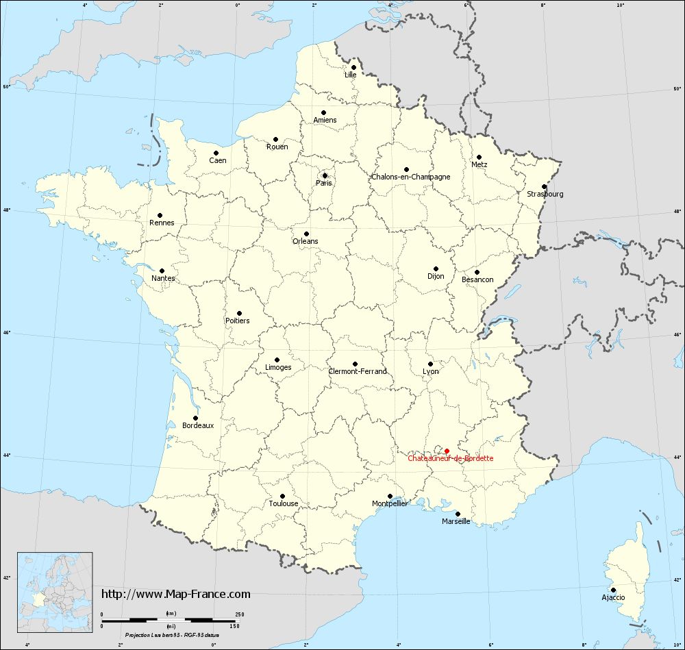
View the map of Châteauneuf-de-Bordette in full screen (1000 x 949)
|
You will find the location of Châteauneuf-de-Bordette on the map of France of regions in Lambert 93 coordinates. The town of Châteauneuf-de-Bordette is located in the department of Drôme of the french region Rhône-Alpes.
Geographical sexagesimal coordinates / GPS (WGS84):
Latitude: 44° 20' 08'' North
Longitude: 05° 10' 41'' East
Geographical decimal coordinates :
Latitude: 44.333 degrees (44.333° North)
Longitude: 5.168 degrees (5.168° East)
Lambert 93 coordinates :
X: 8 736 hectometers
Y: 63 620 hectometers
Lambert 2 coordinates :
X: 8 267 hectometers
Y: 19 302 hectometers
Below, the geographical coordinates of Valence, prefecture of the Drôme department:
Geographical sexagesimal coordinates / GPS (WGS84):
Latitude: 44° 55' 57'' North
Longitude: 04° 53' 27'' East
Geographical decimal coordinates :
Latitude: 44.927 degrees (44.927° North)
Longitude: 4.895 degrees (4.895° East)
Lambert 93 coordinates :
X: 8 492 hectometers
Y: 64 277 hectometers
Lambert 2 coordinates :
X: 8 017 hectometers
Y: 19 957 hectometers
|
This map of Châteauneuf-de-Bordette is reusable and modifiable by making a link to this page of the Map-France.com website or by using the given code :
|
Map of Châteauneuf-de-Bordette with departments and prefectures
|
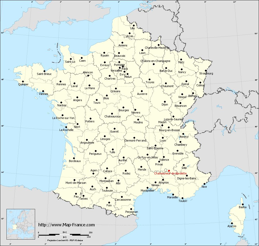
Voir la carte of Châteauneuf-de-Bordette en grand format (1000 x 949)
|
Here is the localization of Châteauneuf-de-Bordette on the France map of departments in Lambert 93 coordinates. The city of Châteauneuf-de-Bordette is shown on the map by a red point.
The town of Châteauneuf-de-Bordette is located in the department of Drôme of the french region Rhône-Alpes.
The latitude of Châteauneuf-de-Bordette is 44.333 degrees North.
The longitude of Châteauneuf-de-Bordette is 5.168 degrees East.
Here the distance between Châteauneuf-de-Bordette and the biggest cities of France:
Distances are calculated as the crow flies (orthodromic distance)
Distance between Châteauneuf-de-Bordette and Paris : 547.23 kilometers
Distance between Châteauneuf-de-Bordette and Marseille : 116.48 kilometers
Distance between Châteauneuf-de-Bordette and Lyon : 160.73 kilometers
Distance between Châteauneuf-de-Bordette and Toulouse : 308.23 kilometers
Distance between Châteauneuf-de-Bordette and Nice : 181.18 kilometers
Distance between Châteauneuf-de-Bordette and Nantes : 611.42 kilometers
Distance between Châteauneuf-de-Bordette and Strasbourg : 512.17 kilometers
Distance between Châteauneuf-de-Bordette and Montpellier : 131.04 kilometers
Distance between Châteauneuf-de-Bordette and Bordeaux : 457.88 kilometers
Distance between Châteauneuf-de-Bordette and Lille : 717.34 kilometers
Distance between Châteauneuf-de-Bordette and Rennes : 672.7 kilometers
Distance between Châteauneuf-de-Bordette and Reims : 554.03 kilometers
Clic here to see the map of Châteauneuf-de-Bordette in full screen:
Châteauneuf-de-Bordette on the map of french departments
|
This administrative map of Châteauneuf-de-Bordette is reusable and modifiable by making a link to this page of the Map-France.com website or by using the given code :
|
Administrative base maps of Châteauneuf-de-Bordette
|
See the administrative base map of Châteauneuf-de-Bordette in full screen (1000 x 949)
|
Small administrative base map of Châteauneuf-de-Bordette
|
This base map administrative of Châteauneuf-de-Bordette is reusable and modifiable by making a link to this page of the Map-France.com website or by using the given code :
|
 French Version : http://www.cartesfrance.fr