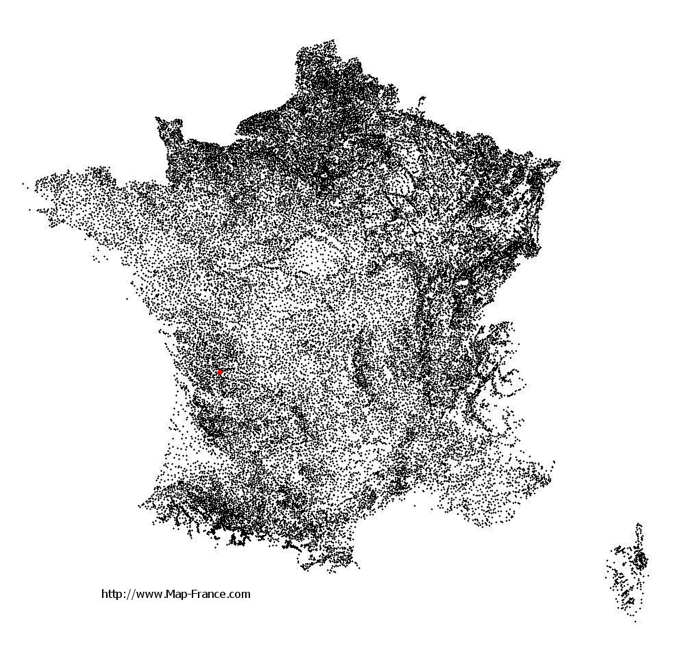
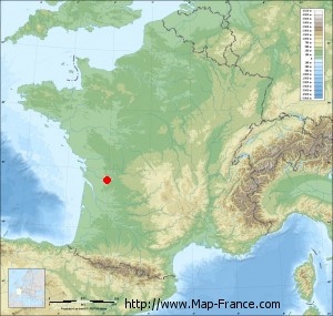
Châteauneuf-sur-Charente on the relief France map in Lambert 93 coordinates
|

See the map of Châteauneuf-sur-Charente in full screen (1000 x 949)
|
At left, here is the location of Châteauneuf-sur-Charente on the relief France map in Lambert 93 coordinates.
Here are the altitudes of Châteauneuf-sur-Charente :
- Town hall altitude of Châteauneuf-sur-Charente is 30 meters
- Minimum altitude of Châteauneuf-sur-Charente is 16 meters
- Maximum altitude of Châteauneuf-sur-Charente is 99 meters
- Medium altitude of Châteauneuf-sur-Charente is 58 meters
Here are the altitudes of Angoulême, prefecture of Charente department:
- Town hall altitude of Angoulême is 86 meters
- Minimum altitude of Angoulême is 25 meters
- Maximum altitude of Angoulême is 130 meters
- Medium altitude of Angoulême is 78 meters
Here are the altitudes of the french biggest cities:
Paris : 33 meters
Marseille : 20 meters
Lyon : 237 meters
Toulouse : 146 meters
Nice : 10 meters
Nantes : 20 meters
Strasbourg : 144 meters
Montpellier : 35 meters
Bordeaux : 16 meters
Lille : 20 meters
Rennes : 35 meters
Reims : 83 meters
Click here for the terrain map of Châteauneuf-sur-Charente in full screen:
Relief map of Châteauneuf-sur-Charente
|
This relief map of Châteauneuf-sur-Charente is reusable and modifiable by making a link to this page of the Map-France.com website or by using the given code :
|
Terrain base map of Châteauneuf-sur-Charente
|

See the terrain base map of Châteauneuf-sur-Charente in full screen (1000 x 949)
|
Small relief base map of Châteauneuf-sur-Charente
|
This base map of Châteauneuf-sur-Charente is reusable and modifiable by making a link to this page of the Map-France.com website or by using the given code :
|
Map of Châteauneuf-sur-Charente with regions and prefectures
|
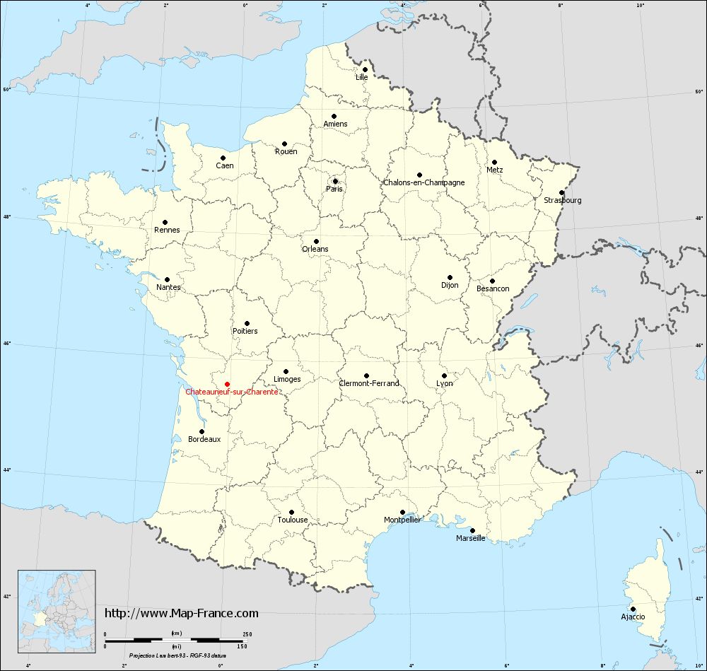
View the map of Châteauneuf-sur-Charente in full screen (1000 x 949)
|
You will find the location of Châteauneuf-sur-Charente on the map of France of regions in Lambert 93 coordinates. The city of Châteauneuf-sur-Charente is located in the department of Charente of the french region Poitou-Charentes.
Geographical sexagesimal coordinates / GPS (WGS84):
Latitude: 45° 35' 55'' North
Longitude: 00° 03' 13'' West
Geographical decimal coordinates :
Latitude: 45.599 degrees (45.599° North)
Longitude: -0.052 degrees (0.052° West)
Lambert 93 coordinates :
X: 4 620 hectometers
Y: 65 045 hectometers
Lambert 2 coordinates :
X: 4 135 hectometers
Y: 20 693 hectometers
Below, the geographical coordinates of Angoulême, prefecture of the Charente department:
Geographical sexagesimal coordinates / GPS (WGS84):
Latitude: 45° 38' 58'' North
Longitude: 00° 09' 34'' East
Geographical decimal coordinates :
Latitude: 45.653 degrees (45.653° North)
Longitude: 0.155 degrees (0.155° East)
Lambert 93 coordinates :
X: 4 788 hectometers
Y: 65 095 hectometers
Lambert 2 coordinates :
X: 4 303 hectometers
Y: 20 745 hectometers
|
This map of Châteauneuf-sur-Charente is reusable and modifiable by making a link to this page of the Map-France.com website or by using the given code :
|
Map of Châteauneuf-sur-Charente with departments and prefectures
|
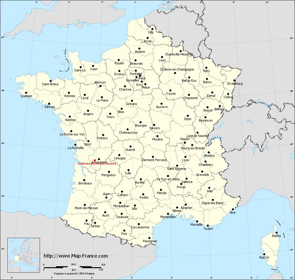
Voir la carte of Châteauneuf-sur-Charente en grand format (1000 x 949)
|
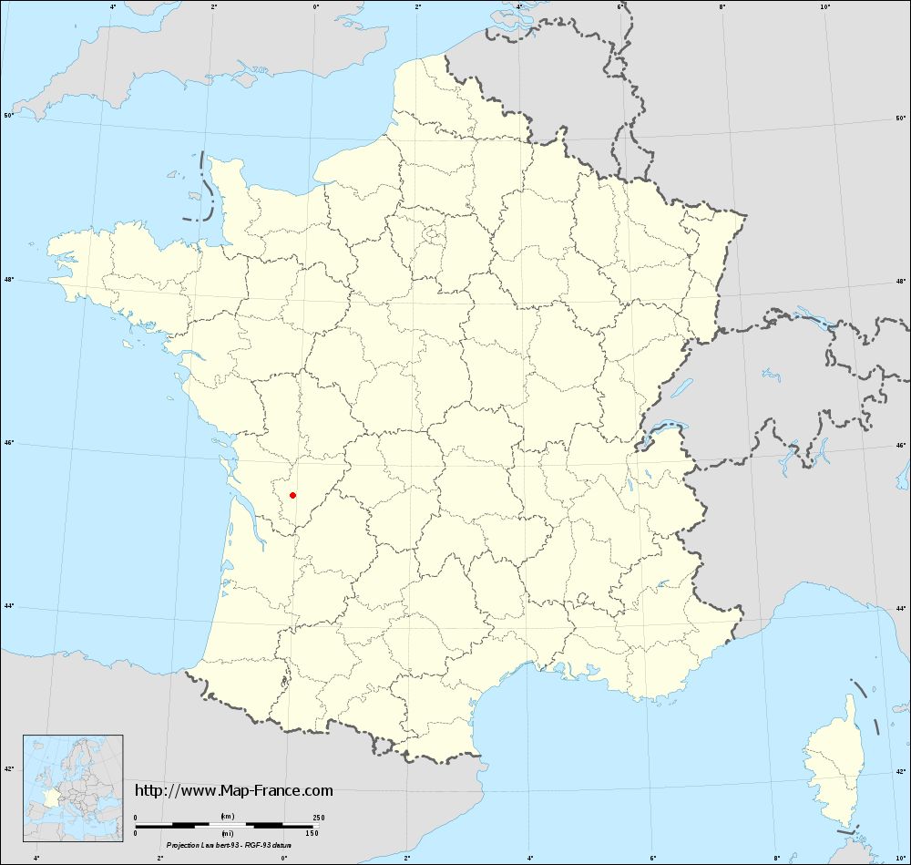
Here is the localization of Châteauneuf-sur-Charente on the France map of departments in Lambert 93 coordinates. The city of Châteauneuf-sur-Charente is shown on the map by a red point.
The city of Châteauneuf-sur-Charente is located in the department of Charente of the french region Poitou-Charentes.
The latitude of Châteauneuf-sur-Charente is 45.599 degrees North.
The longitude of Châteauneuf-sur-Charente is 0.052 degrees West.
Here the distance between Châteauneuf-sur-Charente and the biggest cities of France:
Distances are calculated as the crow flies (orthodromic distance)
Distance between Châteauneuf-sur-Charente and Paris : 405.01 kilometers
Distance between Châteauneuf-sur-Charente and Marseille : 502.17 kilometers
Distance between Châteauneuf-sur-Charente and Lyon : 379.71 kilometers
Distance between Châteauneuf-sur-Charente and Toulouse : 251.87 kilometers
Distance between Châteauneuf-sur-Charente and Nice : 614.89 kilometers
Distance between Châteauneuf-sur-Charente and Nantes : 213.64 kilometers
Distance between Châteauneuf-sur-Charente and Strasbourg : 676.92 kilometers
Distance between Châteauneuf-sur-Charente and Montpellier : 381.16 kilometers
Distance between Châteauneuf-sur-Charente and Bordeaux : 93.42 kilometers
Distance between Châteauneuf-sur-Charente and Lille : 604.01 kilometers
Distance between Châteauneuf-sur-Charente and Rennes : 304.96 kilometers
Distance between Châteauneuf-sur-Charente and Reims : 509.24 kilometers
Clic here to see the map of Châteauneuf-sur-Charente in full screen:
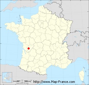
Châteauneuf-sur-Charente on the map of french departments
|
This administrative map of Châteauneuf-sur-Charente is reusable and modifiable by making a link to this page of the Map-France.com website or by using the given code :
|
Administrative base maps of Châteauneuf-sur-Charente
|
See the administrative base map of Châteauneuf-sur-Charente in full screen (1000 x 949)
|
Small administrative base map of Châteauneuf-sur-Charente
|
This base map administrative of Châteauneuf-sur-Charente is reusable and modifiable by making a link to this page of the Map-France.com website or by using the given code :
|
 French Version : http://www.cartesfrance.fr